Minnesota stock illustrations
Browse 6,200+ minnesota stock illustrations and vector graphics available royalty-free, or search for minnesota map or minneapolis to find more great stock images and vector art.
minnesota map
minneapolis
minnesota lake
st paul minnesota
minnesota homes
duluth minnesota
minnesota winter
minnesota landscape
rochester minnesota
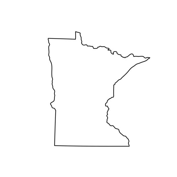
minnesota outline
minneapolis minnesota
minnesota skyline
minnesota wild
minnesota state
minnesota farm
minnesota flag
minnesota summer
minnesota capitol
northern minnesota
minnesota vector
minnesota spring
minnesota snow
winona minnesota
minnesota nature
minnesota river
stillwater minnesota
minnesota lynx
bloomington minnesota
minnesota fall
minnesota home
Most popular
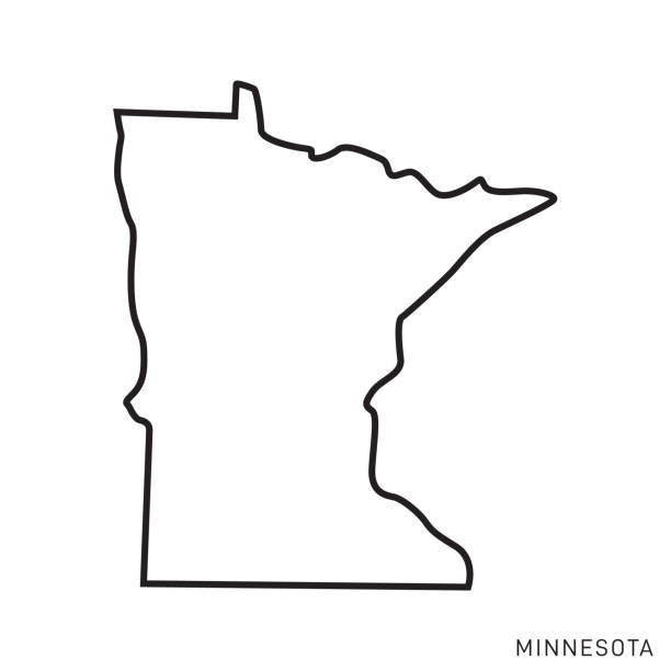
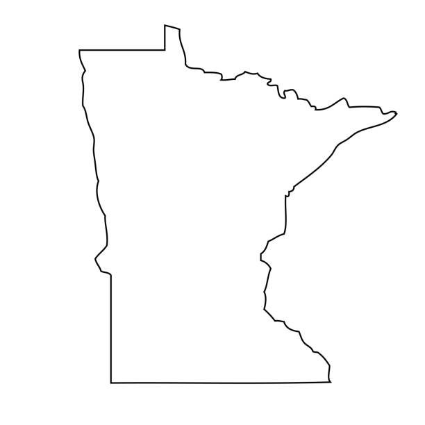
Minnesota - States of USA Outline Map Vector Template Illustration Design. Editable Stroke. Vector EPS 10.

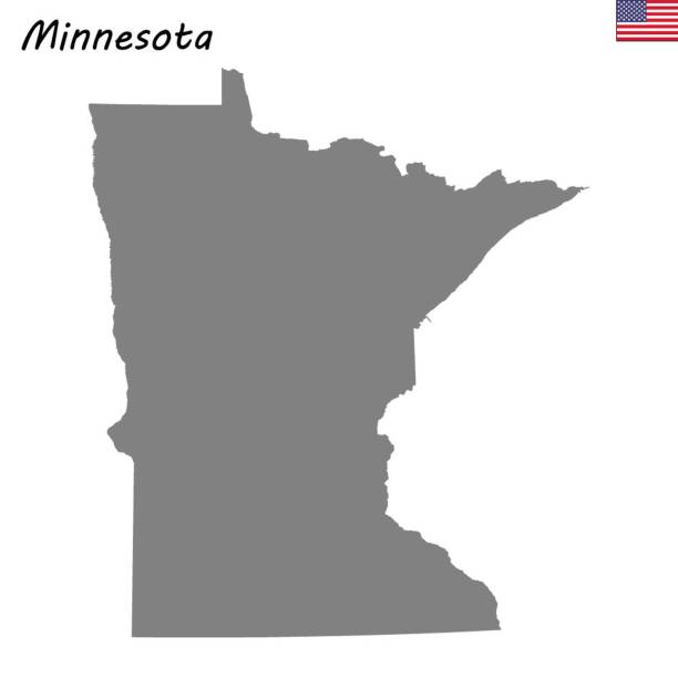
map of the U.S. state of Minnesota on white background

Minnesota dark silhouette map isolated on white background
Vector. Map of US state
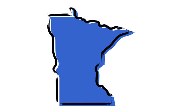
Stylized blue sketch map of Minnesota on white background
Minnesota map shape, united states of america. Flat concept icon symbol vector illustration .
Map of the U.S. state Minnesota. Vector illustration
High Quality map state of United States. Minnesota

Map of Minnesota State on a white background, Vector illustration
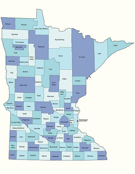
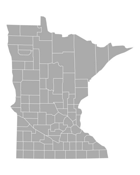
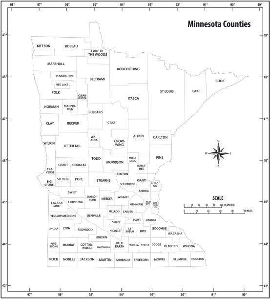
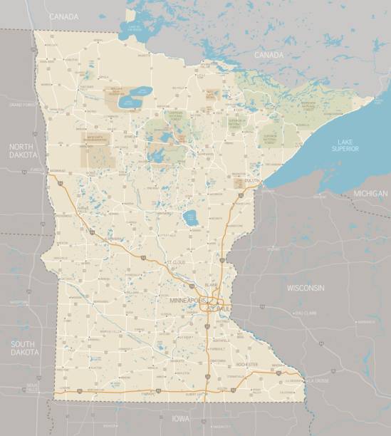
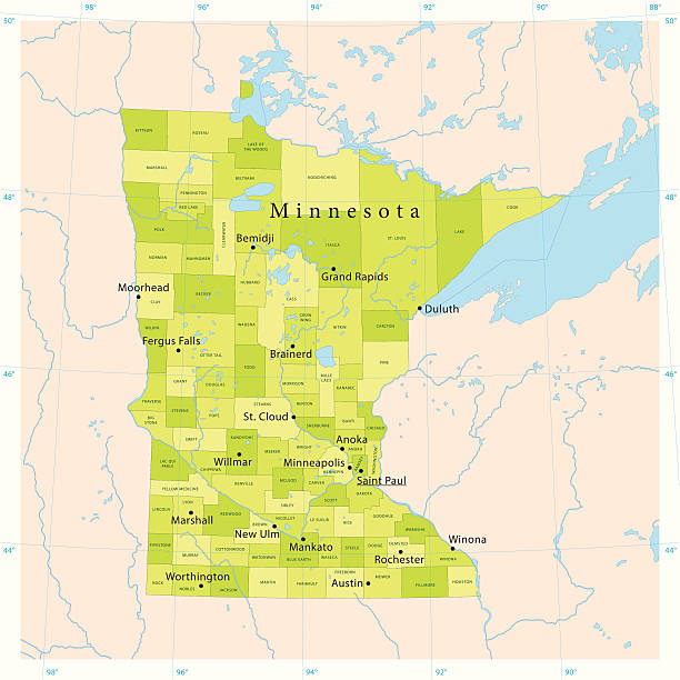
Detailed state-county map of Minnesota.

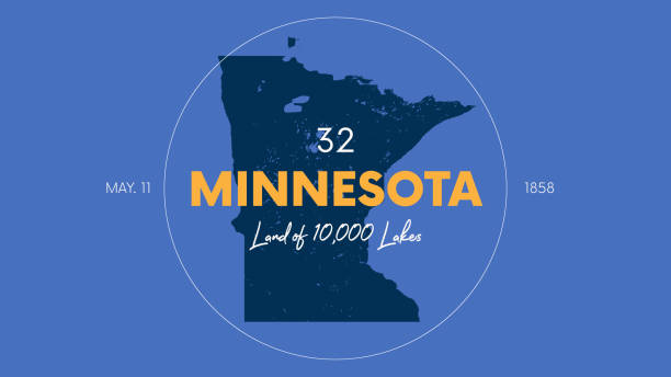
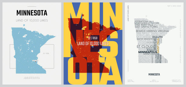
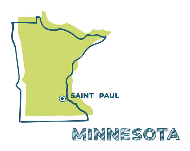
Minnesota, MN, political map, with capital Saint Paul and metropolitan area Minneapolis. State in the upper Midwestern United States. Nicknamed Land of 10,000 Lakes, North Star State and Gopher State.

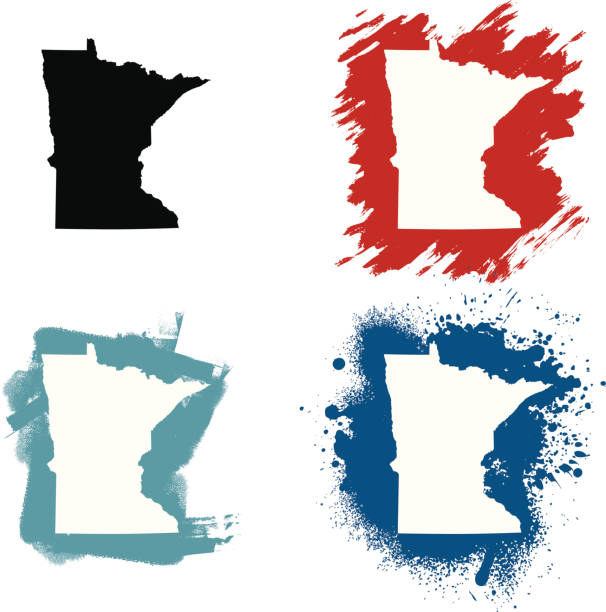
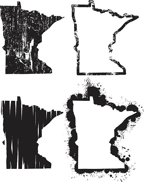
Highly-detailed vector map of the state of Minnesota in four varieties. Very easy to manipulate and use.
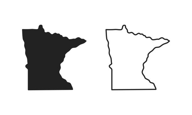
Minnesota outline state of USA. Map in black and white color options. Vector Illustration.
Vector Minnesota Flag
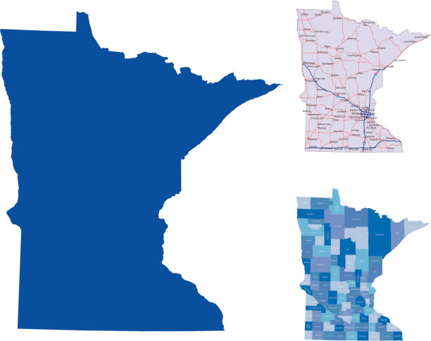
illustration of Minnesota state map with road map for your design and products.
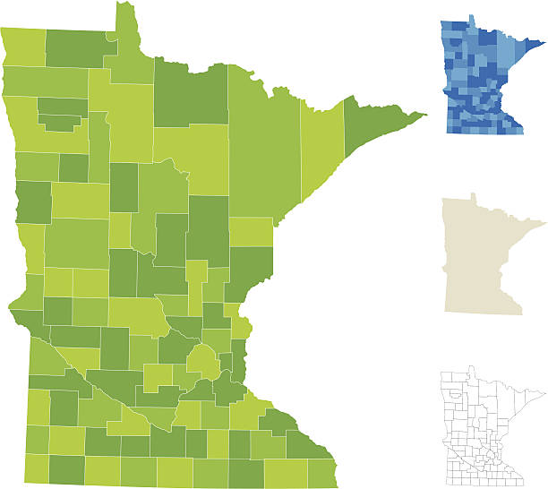
Highly-detailed Minnesota county map. Each county is in it's own separate labeled layer. All layers have been alphabetized for easy manipulation and use. (see image below -- note: labels only available in AICS2 and AI10 files)


Map of Minnesota for your own design. With space for your text and your background. Four maps included in the bundle: - One black map. - One blank map with only a thin black outline (in a line art style). - One mosaic map. - One white map with a thin black outline. The 4 maps are isolated on a blank background (for easy change background or texture).The layers are named to facilitate your customization. Vector Illustration (EPS10, well layered and grouped). Easy to edit, manipulate, resize or colorize.

Saint Paul usa skyline and landmarks silhouette, black and white design, vector illustration.

colorful geometric Minnesota map- vector illustration
minnesota state outline administrative map in black and white
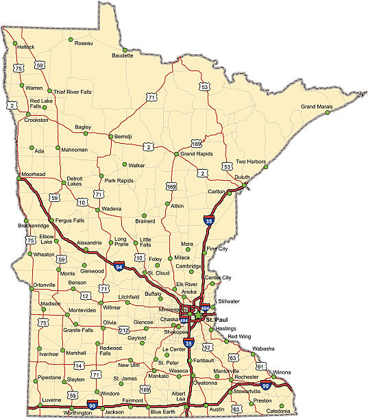
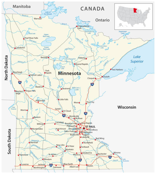
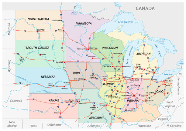
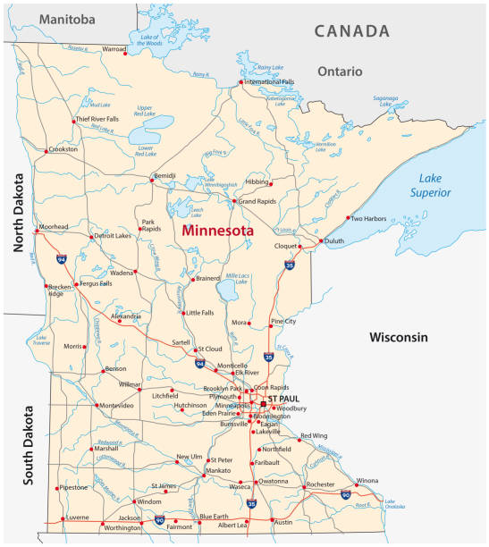
Highway map of the state of Minnesota with Interstates and US Routes. It also has lines for state and county routes (but not labeled) and many cities on it as well. All cities are the County Seats and the Capitol (and some others).

Minnesota Map Vector Illustration Design Template. Vector eps 10.

U.S. states - map of Minnesota. Hand made. Rivers and lakes are shown. Please look at my other images of cartographic series - they are all very detailed and carefully drawn by hand WITH RIVERS AND LAKES.
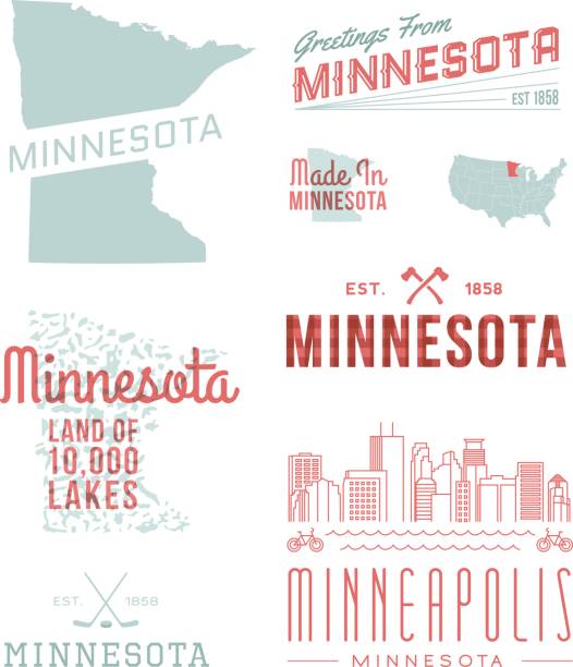
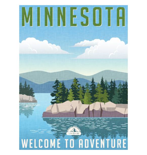
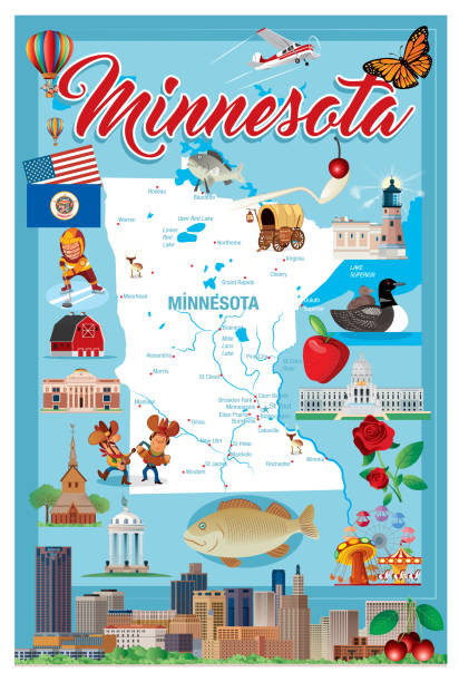
A set of vintage-style icons and typography representing the state of Minnesota, including Minneapolis. Each items is on a separate layer. Includes a layered Photoshop document as well as an EPS and JPG of the 10,000 Lakes graphic without the type. Ideal for both print and web elements.

Map of Minnesota in a trendy vintage style. Beautiful retro illustration with old textured paper and light rays in the background (colors used: blue, green, beige and black for the outline). Vector Illustration (EPS10, well layered and grouped). Easy to edit, manipulate, resize or colorize.
Minnesota lettering vector illustration. Isolated black and white state logo. Logotype country print. Decoration poster with drawing letters. Abstract national banner. Usa cartography design map.

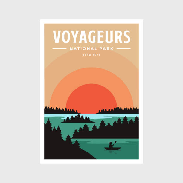
Minnesota State Shape w Farm at Sunset with Windmill, Barn, and a Tree
Doodle vector map of Minnesota state of USA. With legends of state and capital

Map of the U.S. state of Minnesota on a white background

Highly-detailed Minnesota county map. Each county is in it's own separate labeled layer. County names are in a separate layer and can be easily adjusted or removed as well. All layers have been alphabetized for easy manipulation, recoloring or other use.

VECTOR MINNESOTA I have used http://legacy.lib.utexas.edu/maps/united_states/fed_lands_2003/minnesota_2003.pdf address as the reference to draw the basic map outlines with Illustrator CS5 software, other themes were created by myself.
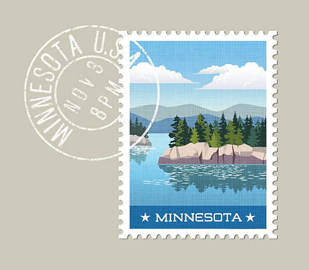
Minnesota postage stamp design. Vector illustration of scenic lake and forest with grunge postmark on separate layer
minnesota road vector map

Doodle vector map of Minnesota state of USA. With legends of state and capital
A detailed map of Minnesota state with cities, roads, major rivers, and lakes. Includes neighboring states and surrounding water.
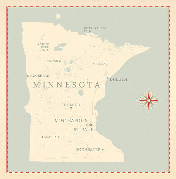
A vintage-style map of Minnesota with freeways, highways and major cities. Shoreline, lakes and rivers are very detailed. Includes an EPS and JPG of the map without roads and cities. Texture, compass, cities, etc. are on separate layers for easy removal or changes.

USA state Of Minnesota's map and Flag. Isometric view of Minnesota. Flag of USA.

USA map vector illustration art
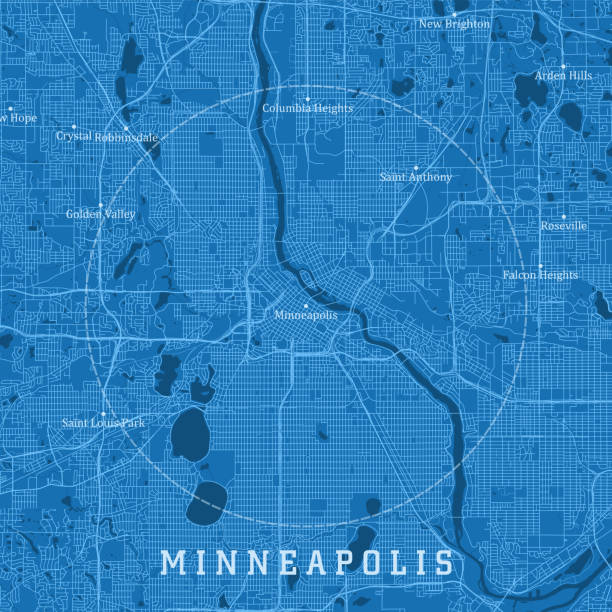
Minneapolis MN City Vector Road Map Blue Text. All source data is in the public domain. U.S. Census Bureau Census Tiger. Used Layers: areawater, linearwater, roads.


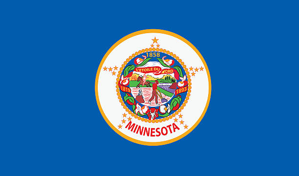
Minnesota State Flag
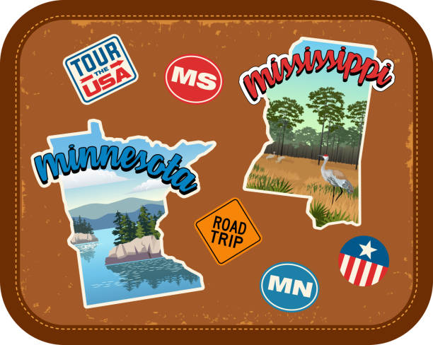
Minnesota, Mississippi travel stickers with scenic attractions and retro text. State outline shapes. State abbreviations and tour USA stickers. Vintage suitcase background
"Highly detailed vector map of Minnesota, United States. File was created on December 19, 2012. The colors in the .eps-file are ready for print (CMYK). Included files: EPS (v8) and Hi-Res JPG (5600aa aaa 5600 px)."

Flat well known silhouettes. Vector illustration easy to edit for flyers or web banners.

Map of Minnesota cut out on a blank white paper with a blue background. Modern and trendy paper cutout effect. Vector Illustration (EPS file, well layered and grouped). Easy to edit, manipulate, resize or colorize. Vector and Jpeg file of different sizes.