New South Wales stock illustrations
Browse 7,000+ new south wales stock illustrations and vector graphics available royalty-free, or search for nsw map or new south wales beach to find more great stock images and vector art.
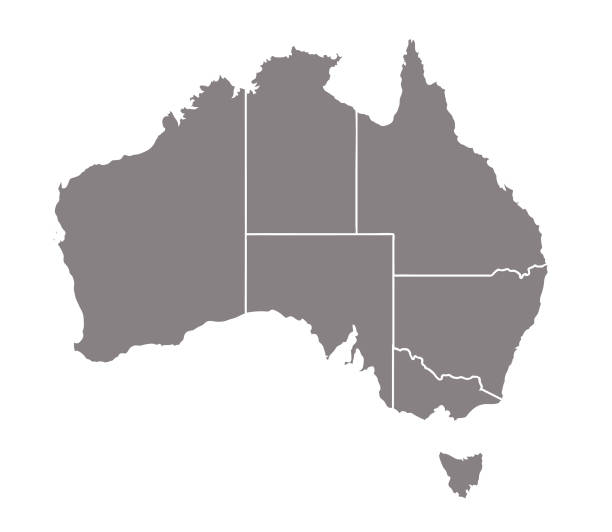
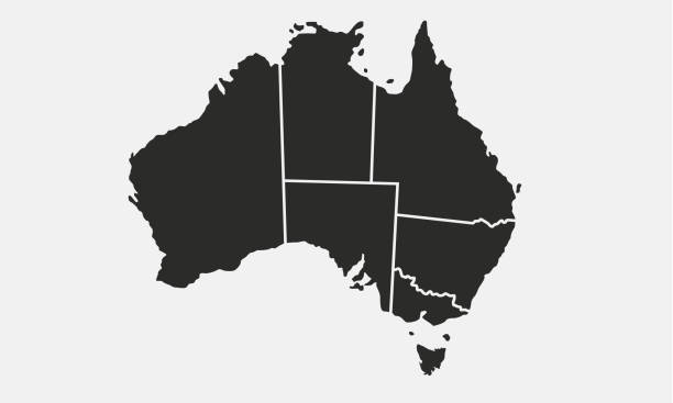
nsw map
new south wales beach
sydney
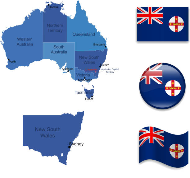
new south wales map
new south wales australia
orange new south wales
new south wales police
new south wales aerial
regional new south wales
new south wales road
new south wales landscape
map of new south wales
new south wales floods
university of new south wales
newcastle
new south wales border
berry new south wales
new south wales coast
camping new south wales
new south wales parliament
new south wales family
new south wales town
new south wales city
blue mountains new south wales
new south wales flood
new south wales camping
new south wales bush fire
road trip new south wales
university new south wales
new south wales tourism
Most popular
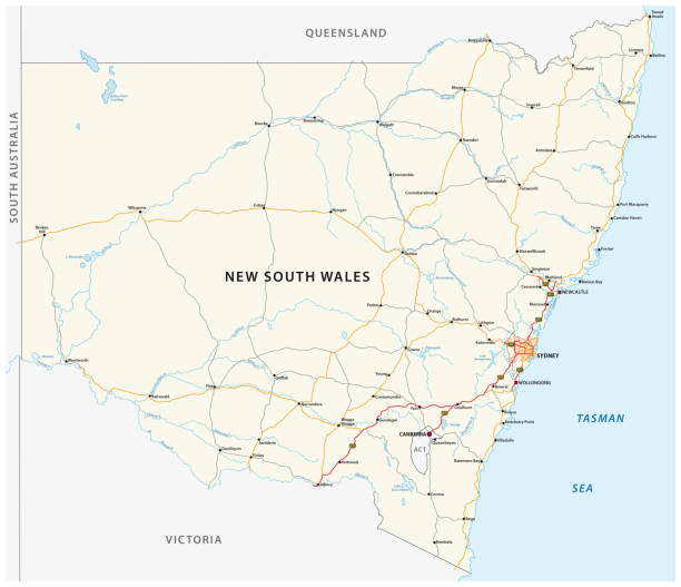
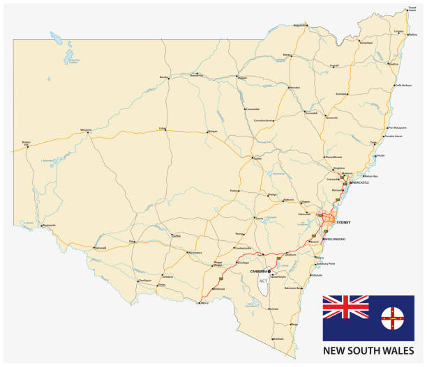
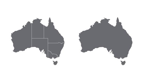
Road vector map of the Australian state New South Wales map
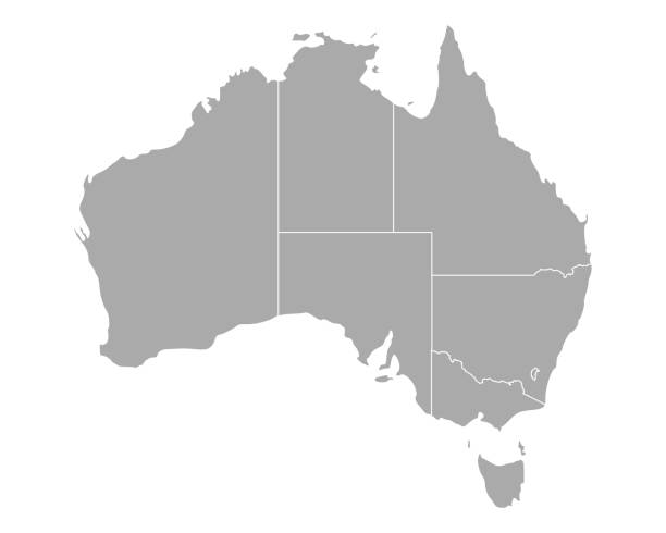
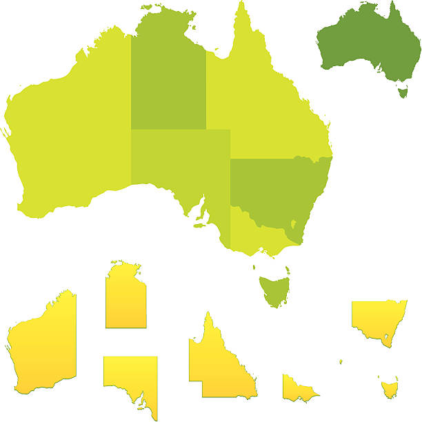
Vector map of Australia with separated territories. Colorful sketch illustration

Vector illustration of a South Wales Australia blue and white map icon.
Vector illustration of two blue New South Wales icons.
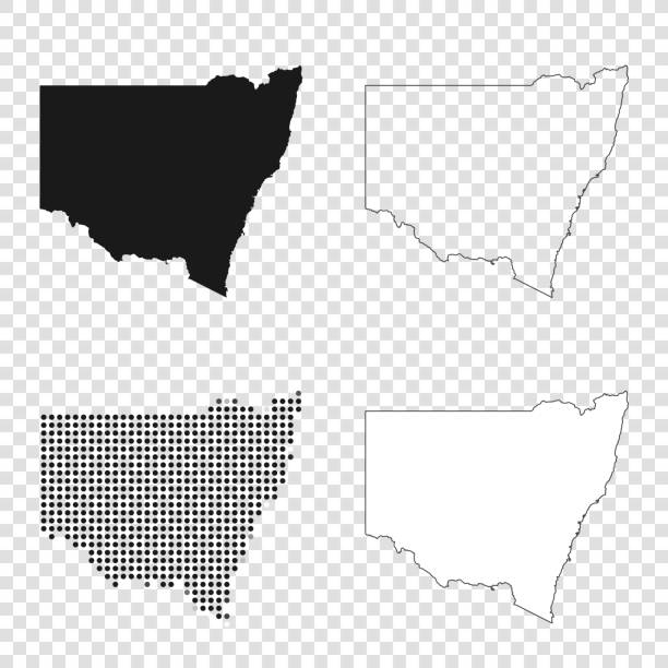
Map of New South Wales for your own design. With space for your text and your background. Four maps included in the bundle: - One black map. - One blank map with only a thin black outline (in a line art style). - One mosaic map. - One white map with a thin black outline. The 4 maps are isolated on a blank background (for easy change background or texture).The layers are named to facilitate your customization. Vector Illustration (EPS10, well layered and grouped). Easy to edit, manipulate, resize or colorize.

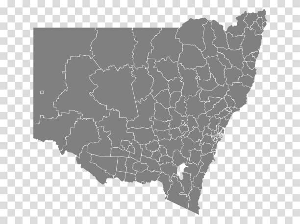
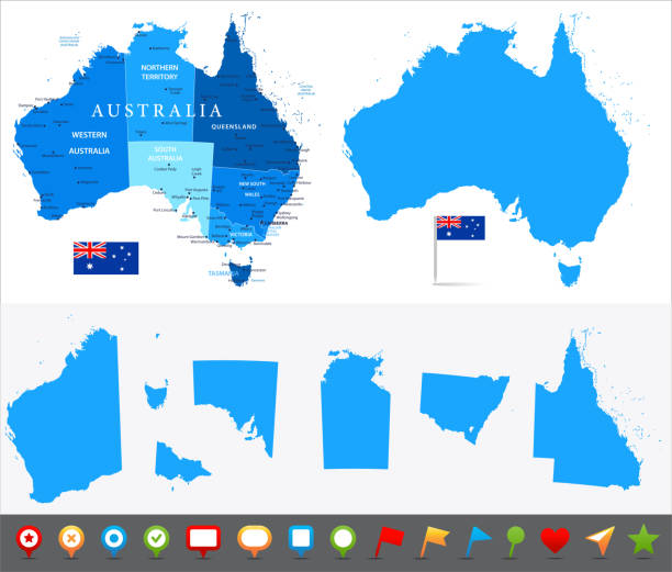
High Quality map of New South Wales is a state of Australia, with borders of the Local government areas
Vector illustration of a blue New South Wales icon in flat style.
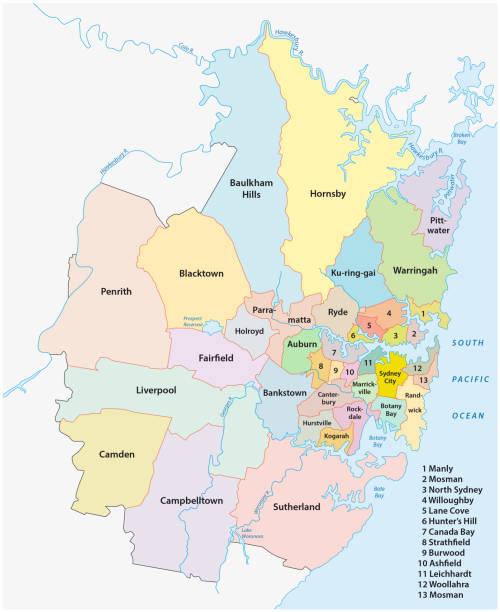
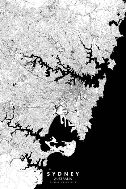
sydney metropolitan administrative and political vector map
Australia map set travel icon education vector signage design illustration template trendy


Map of New South Wales folded with design elements. Blue map with grid lines, isolated on a blank background. Vector Illustration (EPS10, well layered and grouped). Easy to edit, manipulate, resize or colorize.

Vector maps of Australia with variable specification and icons
Australia - Highly detailed editable political map with separated layers.

3d map of New South Wales is a state of Australia
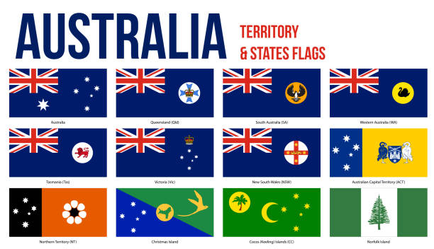
Australia All States, Internal Territories And The External Territory Flags Vector Illustration on White Background.

White map of New South Wales isolated on a blue background with a long shadow effect and in a flat design style. Vector Illustration (EPS10, well layered and grouped). Easy to edit, manipulate, resize or colorize.
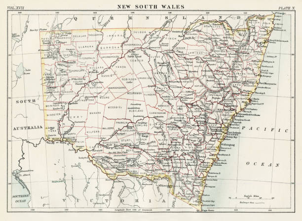
Encyclopedia Britannica 9th Edition New York Charles Scribners and Sonsl 1884 Vol XVII
Vector illustration

New South Wales, Australia - map with shaded relief, land cover, rivers, lakes and mountains. Biome map. Vector template for website, design, cover, infographics. Vector map.
Vector maps of Australia with variable specification and icons
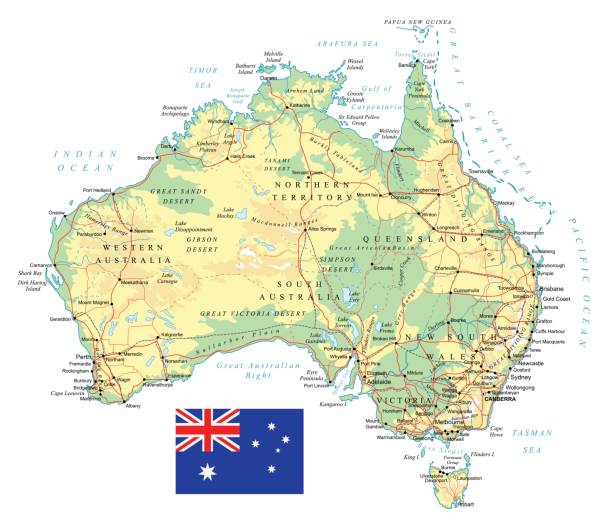
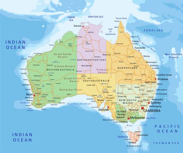
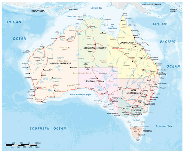
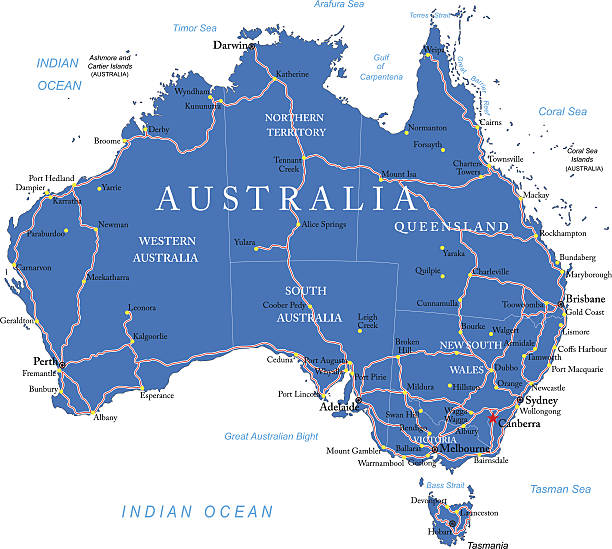
Large detailed road map of Australia and national flag


White map of New South Wales isolated on a gray background with a long shadow effect and in a flat design style. Vector Illustration (EPS10, well layered and grouped). Easy to edit, manipulate, resize or colorize.

Coronavirus pandemic reported on the map of New South Wales. Spread of COVID-19 represented with red circles on a black background, like a radar screen. Conceptual image: coronavirus detected, quarantined area, spread of the disease, coronavirus outbreak on the territory, virus alert, danger zone, confined space, closing of borders, area under control, stop coronavirus, defeat the virus. Vector Illustration (EPS10, well layered and grouped). Easy to edit, manipulate, resize or colorize.
australia eps line map.
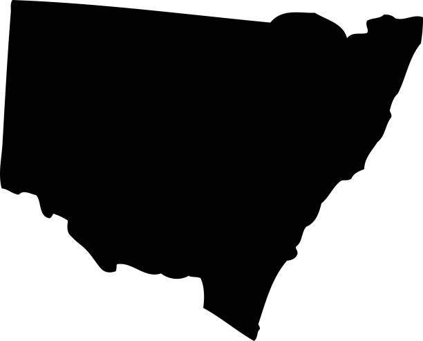
Vector. Black map

Map of New South Wales created with a mesh of thin bright blue lines and glowing dots, isolated on a dark blue background. Conceptual illustration of networks (communication, social, internet, ...). Vector Illustration (EPS10, well layered and grouped). Easy to edit, manipulate, resize or colorize.
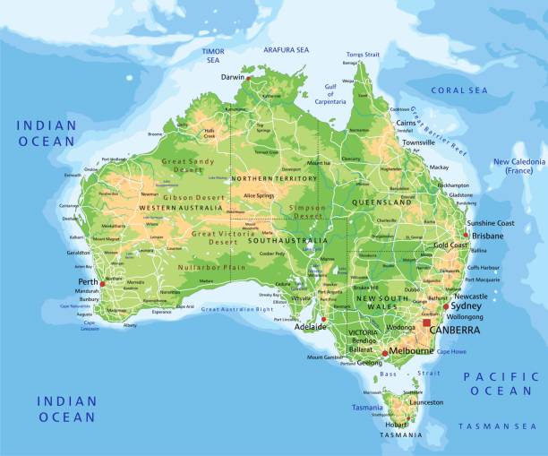
High detailed Australia physical map with labeling. Organized vector illustration on seprated layers.
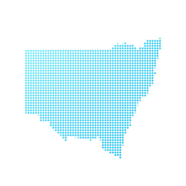
Map of New South Wales created with round blue dots on a blank background. Modern and trendy mosaic illustration. Vector Illustration (EPS10, well layered and grouped). Easy to edit, manipulate, resize or colorize.

Vector map of Australia with states, cities, rivers and seas on separate layers. High detalization.
Australia map on white background with shadow. Stock vector
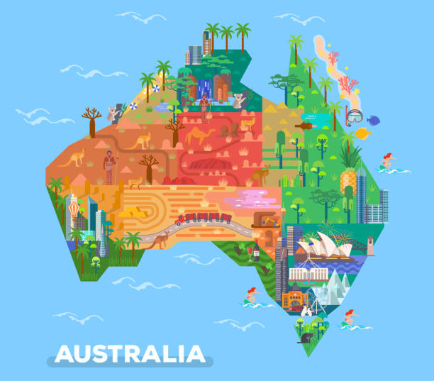
Map of Australia with landmarks of Broken Hills and Adelaide, Melbourne, Canberra. Natural and architecture sightseeing places. Uluru rocks and parliament house, Sydney opera and Victoria desert

yellow outline map of Australia, stylized concept
Official current vector coat of arms of the Australian state of NEW SOUTH WALES, AUSTRALIA

Vector illustration flat design of Australia map with airplane flight paths isolated on a turquoise background


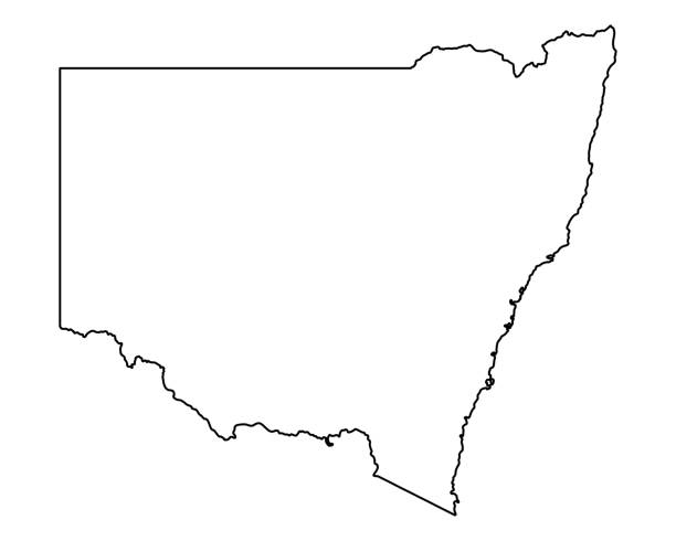
Map of New South Wales sketched and isolated on a blank background. The map is blue green with a black outline. Vector Illustration (EPS10, well layered and grouped). Easy to edit, manipulate, resize or colorize.
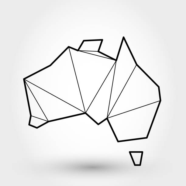
black outline map of Australia, stylized concept
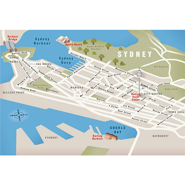
Poster Style Topographic / Road map of Sydney, Australia. Original map data is open data via © OpenStreetMap contributors. All maps are layered and easy to edit. Roads are editable stroke.

Multicolor illustration with editable stroke. Vector artwork is easy to colorize, manipulate, and scales to any size.

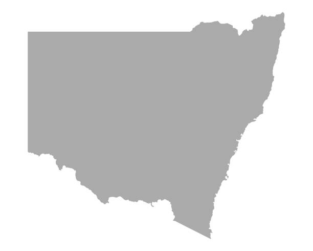
Map of New South Wales sketched and isolated on a blank background. The map is gray with a black outline. Vector Illustration (EPS file, well layered and grouped). Easy to edit, manipulate, resize or colorize. Vector and Jpeg file of different sizes.

3D map of New South Wales (Australian states and territories, NSW) - white, yellow, blue and gold - vector illustration
http://dl.dropbox.com/u/38654718/istockphoto/Media/download.gif

Coronavirus pandemic reported on the map of New South Wales. Spread of COVID-19 represented with red circles on a black background, like a radar screen. Included: Big set of infographic elements. This large selection of modern elements includes charts, pie charts, diagrams, demographic graph, people graph, datas, time lines, flowcharts, icons... (Colors used: red, white, black). Vector Illustration (EPS10, well layered and grouped). Easy to edit, manipulate, resize or colorize.
Map of Australia - Vector illustration
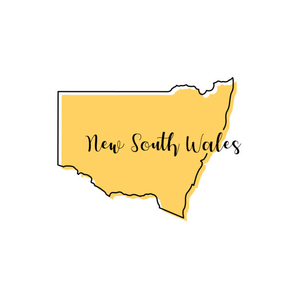
Map of New South Wales - Australia vector design template. Editable Stroke. Vector eps 10.
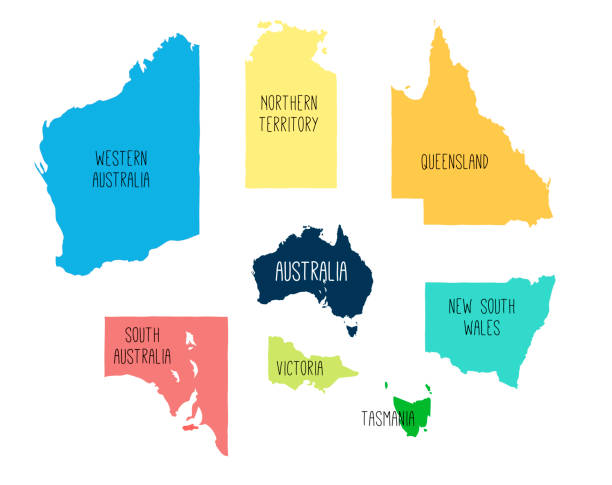
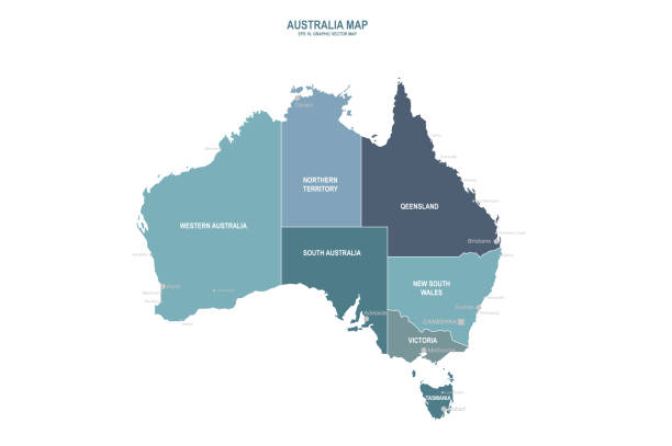
"Illustration of Australia, including all six states and two territories. Global colours are easily changed."
Detailed map of Australia.