Norfolk stock illustrations
Browse 690+ norfolk stock illustrations and vector graphics available royalty-free, or search for norfolk virginia or norfolk uk to find more great stock images and vector art.
norfolk virginia
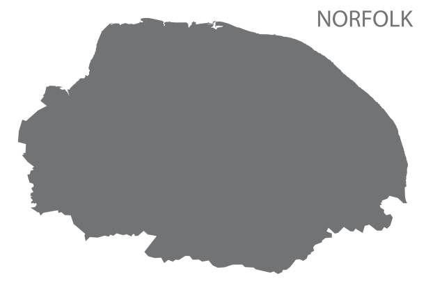
norfolk uk
norfolk va
norwich
pocono mountains pa
norfolk broads
norfolk island
norfolk beach
norfolk coast
norfolk terrier
north norfolk
holt norfolk
norfolk england
norfolk map
wells norfolk
norfolk countryside
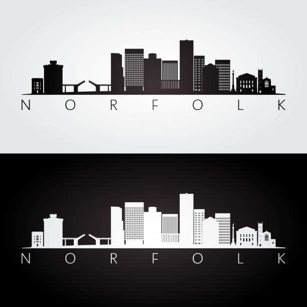
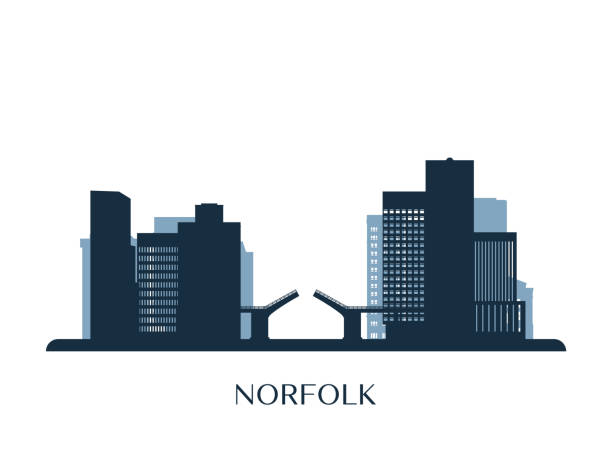
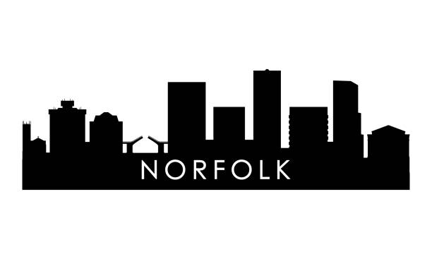
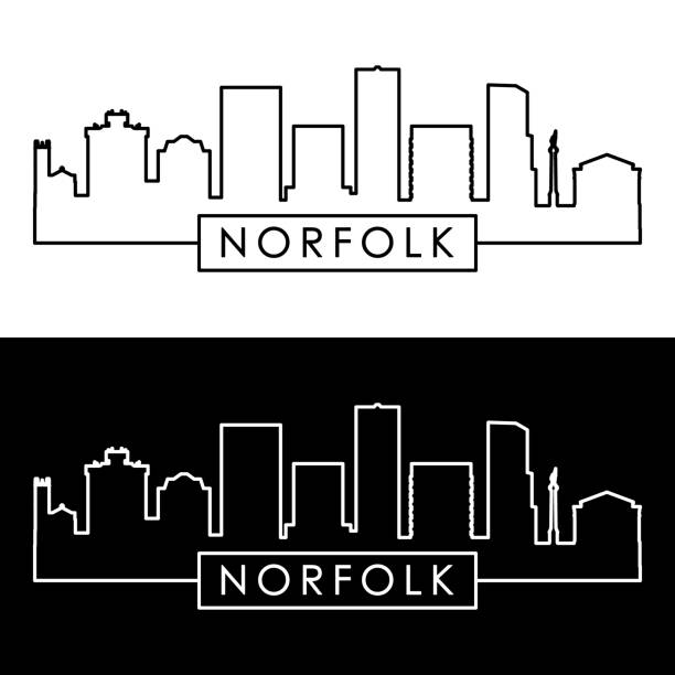
norfolk skyline
norfolk food
norfolk winter
norfolk pine
norfolk lavender
blakeney norfolk
norfolk windmill
cromer norfolk
norfolk seal
norfolk road
norfolk holiday
south norfolk
norfolk autumn
norfolk farm
Most popular

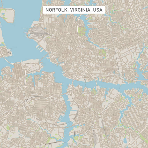
Vector Illustration of a City Street Map of Norfolk, Virginia, USA. Scale 1:60,000. All source data is in the public domain. U.S. Geological Survey, US Topo Used Layers: USGS The National Map: National Hydrography Dataset (NHD) USGS The National Map: National Transportation Dataset (NTD)


Norfolk VA City Vector Road Map Blue Text. All source data is in the public domain. U.S. Census Bureau Census Tiger. Used Layers: areawater, linearwater, roads.

Stamp or label with text Norfolk, Virginia written inside, vector illustration
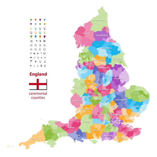
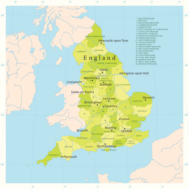
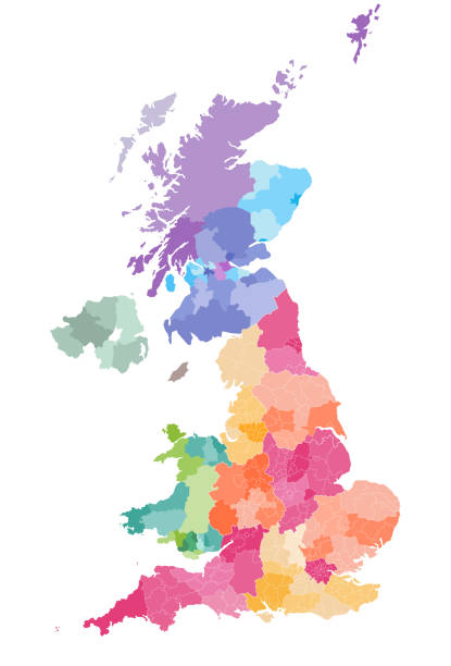
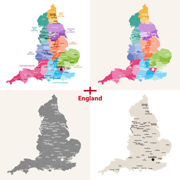
"Detailed vector map of England with administrative divisions. File was created on October 18, 2012. The colors in the .eps-file are ready for print (CMYK). Included files: EPS (v8) and Hi-Res JPG (4962aa aaa 5600 px)."
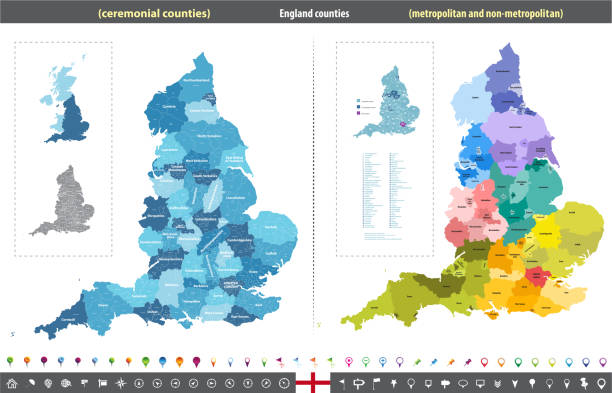
England ceremonial counties vector map colored by regions

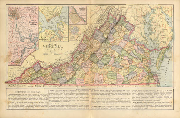
Very Rare, Beautifully Illustrated Antique Victorian Engraved Colored Map of The State of Virginia Antique Victorian Engraved Colored Map, 1899. Source: Original edition from my own archives. Copyright has expired on this artwork. Digitally restored.
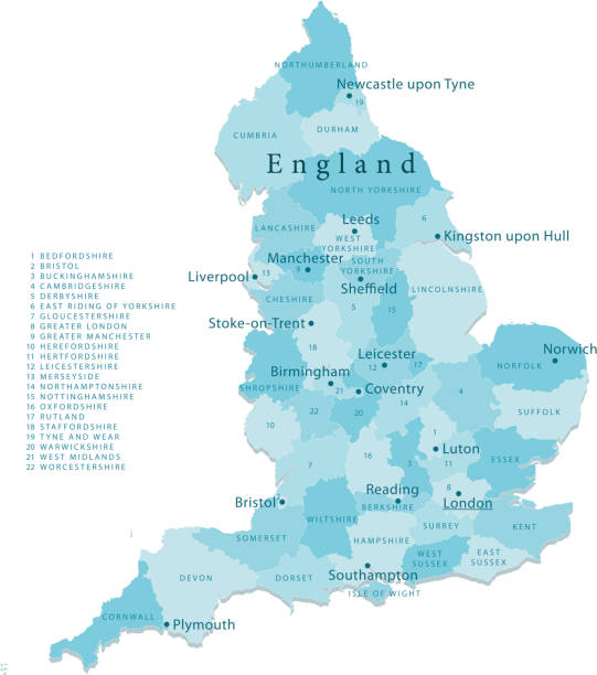
Highly detailed vector map of England. Source data courtesy of NGDC and NASA. Source database: World Data Bank II. The source data is in the public domain. Data updated and improved. File was created on July 27, 2011. The colors in the .eps-file are ready for print (CMYK). Included files: EPS (v8) and Hi-Res JPG.
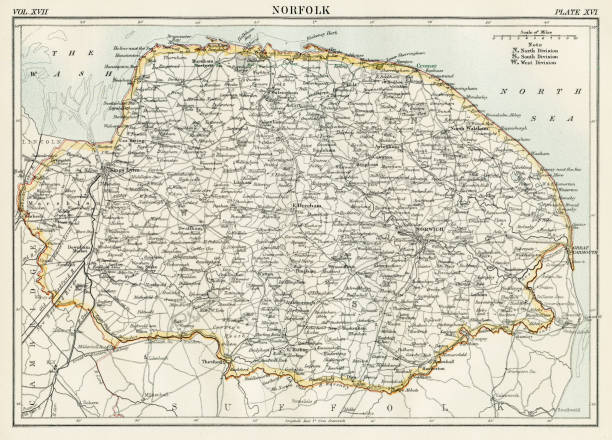
Encyclopedia Britannica 9th Edition New York Charles Scribners and Sonsl 1884 Vol XVII

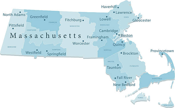
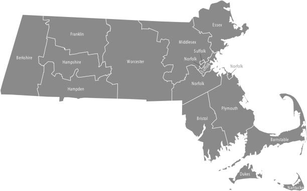
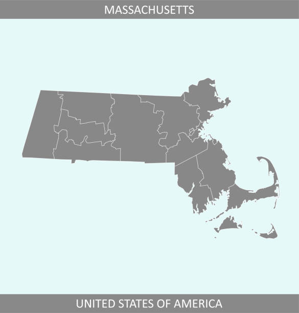
Detailed vector map of Massachusetts with administrative divisions. File was created on December 5, 2012. The colors in the .eps-file are ready for print (CMYK). Included files: EPS (v8) and Hi-Res JPG (5600 × 3733 px).
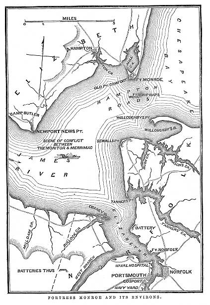
"Vintage engraving from 1863 of a map of Fort Monroe and its environs. Fort Monroe played an important role in the American Civil War. It was held by Union forces throughout the Civil War, which launched several sea and land expeditions from there."
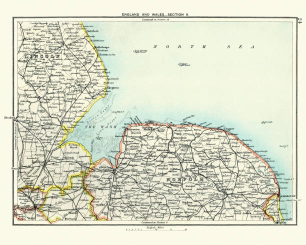
Vintage engraving of a Antique map, Lincoln and Norfolk, England 19th Century

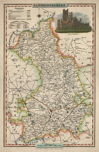
An antique map of Cambridgeshire 1840. James Pigot (1794-1842) showing the whole county and all it's major towns and cities.Pigot started as an engraver for Dean's Manchester Directory, but later set up his own business publishing the London and Provincial New Commercial Directory,

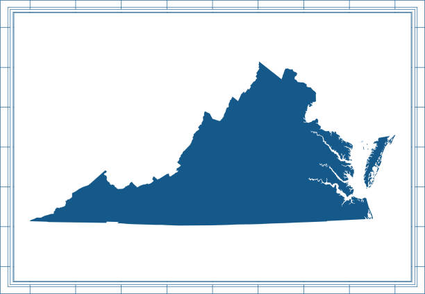
Downloadable map of Virginia state of United States of America. The map is accurately prepared by a map expert.
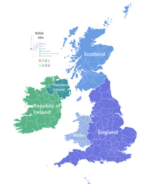
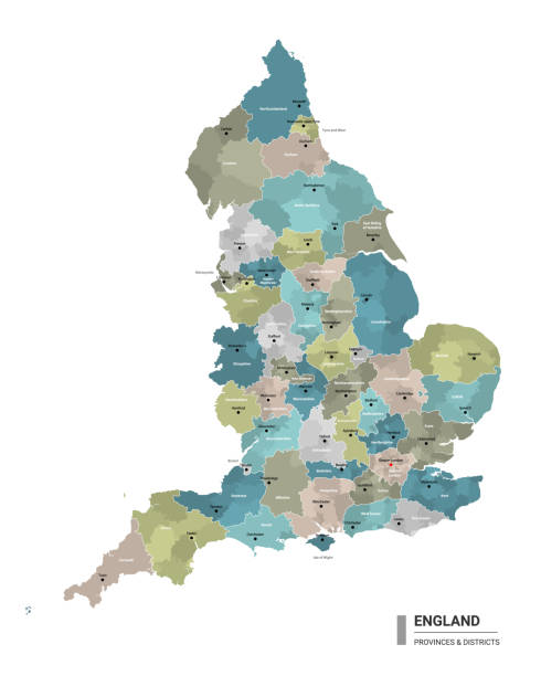
vector map of British Isles administrative divisions colored by countries and regions. Districts and counties maps and flags of United Kingdom,Northern Ireland, Wales, Scotland and Republic of Ireland
http://s017.radikal.ru/i431/1111/c3/e30e02be8a61.jpg
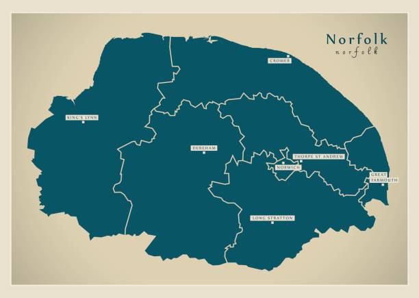
The map is accurately prepared by a GIS and remote sensing specialist. Every county has a separate boundary that can be edited.

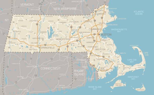
A detailed map of Massachusetts state with cities, roads, major rivers, and lakes. Includes neighboring states and surrounding water.
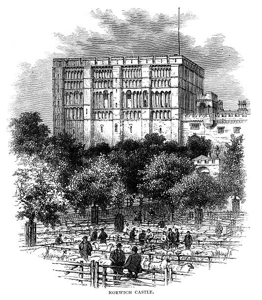
engraving of this familiar landmark in the 19th centurysheep market in foregroundfrom The Girls Paper Annual 1883
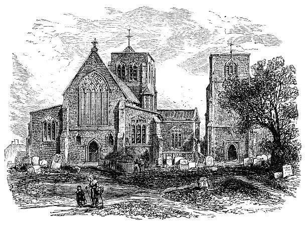
photographed from a book titled 'English Pictures Drawn with Pen and Pencil' published in London ca. 1870. Copyright has expired on this artwork. Digitally restored.

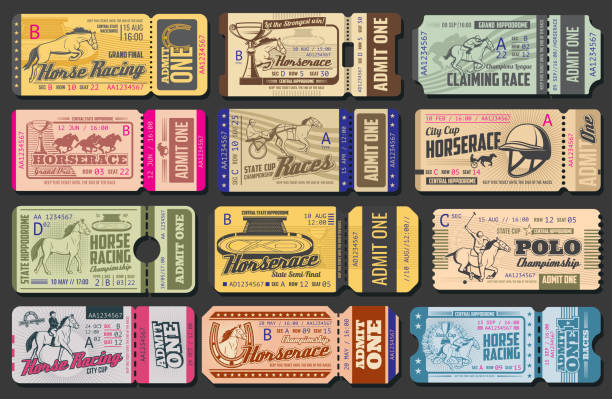
Equestrian sport and horse riding icons isolated. Vector horseshoe, whip and helmet, polo jockey and stallion jumping. Outfit gloves, racing cart and championship victory cup, equine saddle harness
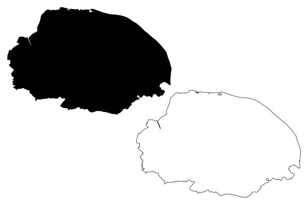
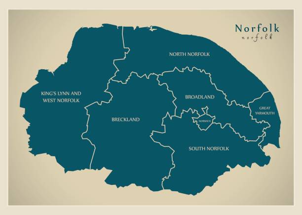
Norfolk (United Kingdom, England, Non-metropolitan county, shire county) map vector illustration, scribble sketch Norfolk map
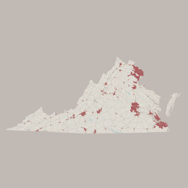
Vector Illustration of a Road Map of Virginia State, USA. All source data is in the public domain. U.S. Geological Survey, US Topo Used Layers: USGS The National Map: National Hydrography Dataset (NHD) USGS The National Map: National Transportation Dataset (NTD)
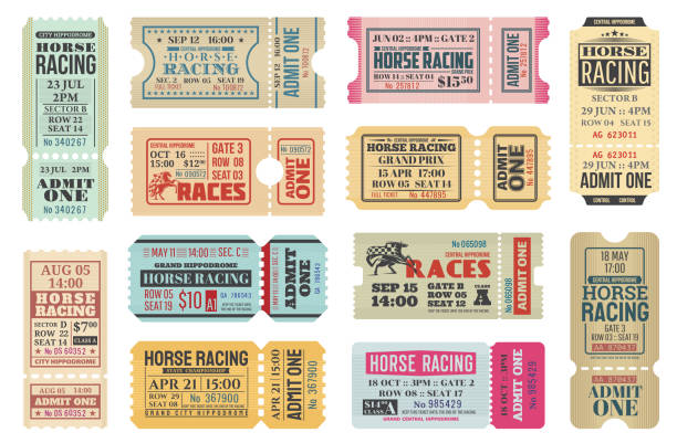
Horse racing ticket vector templates of equestrian sport competition. Hippodrome event admit one cards with race horse animals, jockey riders and racing flags, old paper tickets and invitations design
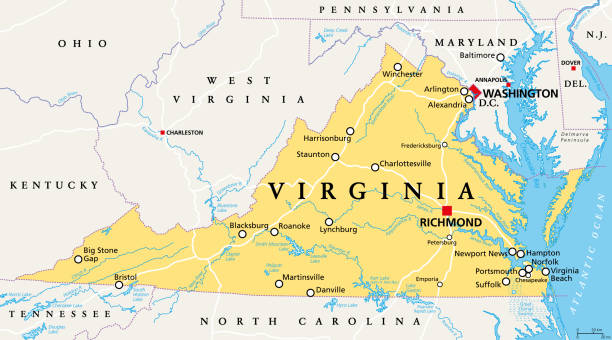
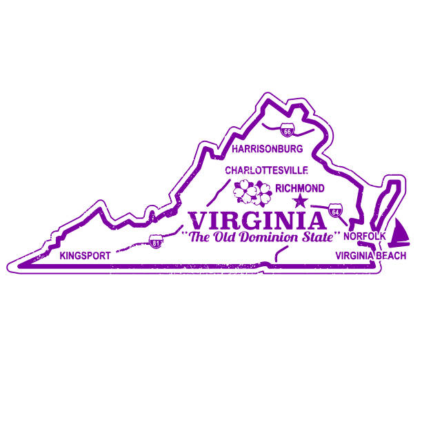
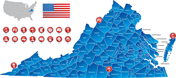
Virginia, VA, political map. Commonwealth of Virginia. State in Southeastern and Mid-Atlantic region of the United States. Capital Richmond. Old Dominion. Mother of Presidents. Illustration. Vector.
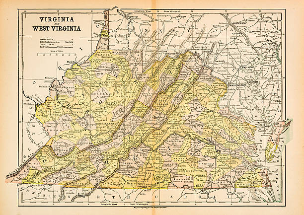
Map of Virginia and West Virginia
Horse racing cup ticket and polo championship admit card vector templates of equestrian sport retro design. Racing horses, jockeys and winner trophy cups, hippodrome, horseshoes and harness cart

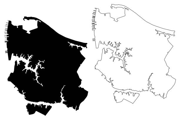
Massachusetts Norfolk County Vector Map. Blue-gray striped design, light shapes are urban areas, dark shapes are rural areas. All source data is in the public domain. U.S. Census Bureau. Used Layer: Census Tiger Tabblock.

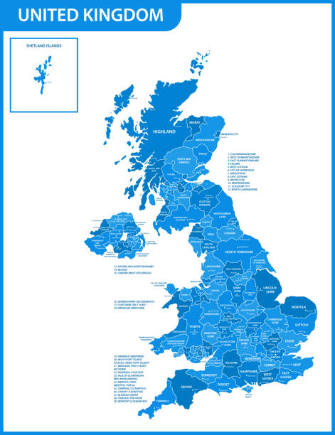
A map of the United Kingdom, showing most major cities and the connecting road network. There are 6 layers to aid editing. Although the cities are not named it's easy to find them on the link to the reference map below.


Equestrian background. Domestic horse and rides kids and parents equestrian training hall exact vector cartoon illustratiion. Equestrian and rider woman
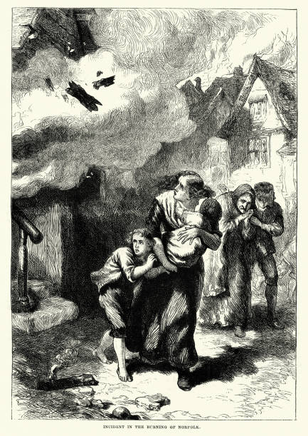
Vintage engraving of Burning of Norfolk was an incident that occurred on January 1, 1776, during the American Revolutionary War. British Royal Navy ships in the harbor of Norfolk, Virginia began shelling the town, and landing parties came ashore to burn specific properties.

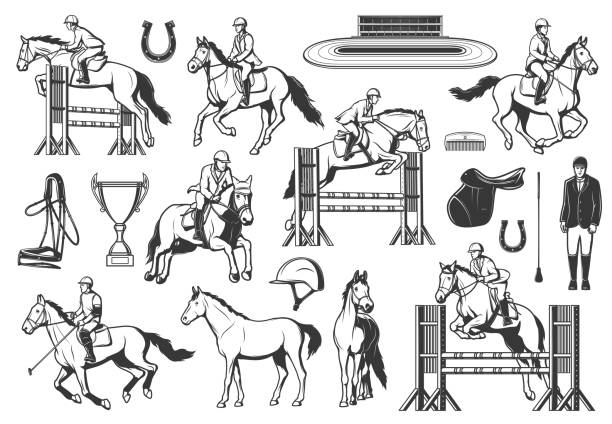
Equestrian sport, horse racing and show jumping. Jockey riding stallion, jumping obstacles and racing on hippodrome, polo player, saddle and whip, harness, horseshoe and trophy, helmet, comb vector

Virginia, VA, gray political map. Commonwealth of Virginia. State in Southeastern and Mid-Atlantic region of United States. Capital Richmond. Old Dominion. Mother of Presidents. Illustration. Vector.
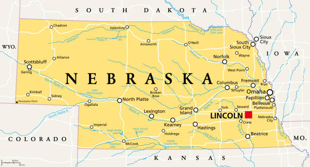
Nebraska, NE, political map with the capital Lincoln and the largest city Omaha. Triply landlocked State in the Midwestern subregion of the United States of America, nicknamed Cornhusker State. Vector
The map is accurately prepared by a map expert.