Omaha stock illustrations
Browse 480+ omaha stock illustrations and vector graphics available royalty-free, or search for omaha nebraska or omaha skyline to find more great stock images and vector art.
omaha nebraska
omaha skyline
omaha beach
omaha ne
downtown omaha
omaha zoo
omaha house
omaha bridge
omaha city
uss omaha
omaha map
omaha aerial
omaha park
omaha outline
omaha market
omaha silhouette
omaha nature
omaha steak
omaha baseball
omaha night
omaha home
omaha river
omaha street
omaha landscape
omaha vector
normandy omaha
omaha sunrise
omaha neighborhood
omaha abstract
u.s.s. omaha
Most popular
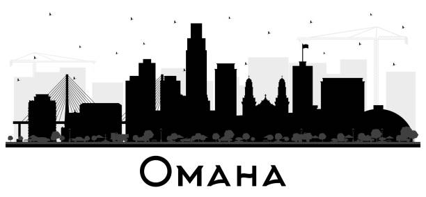
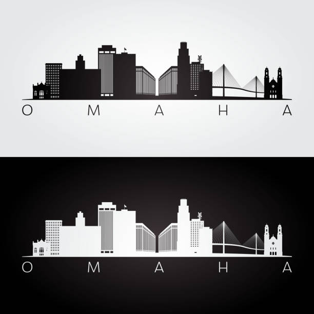
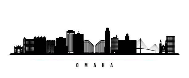
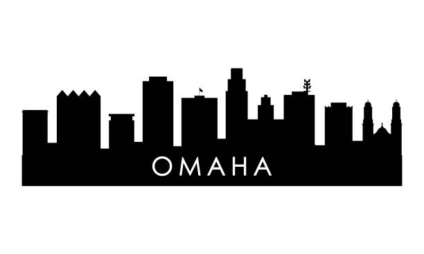
Omaha Nebraska City Skyline Silhouette with Black Buildings Isolated on White. Vector Illustration. Business Travel and Tourism Concept with Historic Architecture. Omaha USA Cityscape with Landmarks.
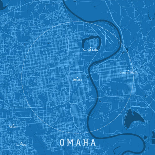
Omaha NE City Vector Road Map Blue Text. All source data is in the public domain. U.S. Census Bureau Census Tiger. Used Layers: areawater, linearwater, roads.


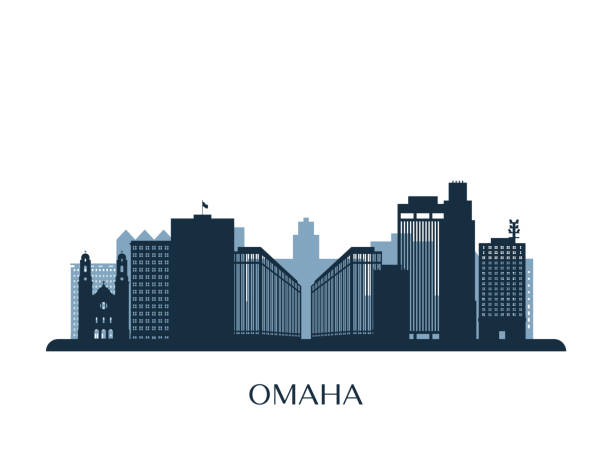
Outline Omaha Nebraska City Skyline with Blue Buildings. Vector Illustration. Business Travel and Tourism Concept with Historic Architecture. Omaha USA Cityscape with Landmarks.

Omaha Nebraska City Skyline in Paper Cut Style with Snowflakes, Moon and Neon Garland. Vector Illustration. Christmas and New Year Concept. Santa Claus on Sleigh. Omaha USA Cityscape Landmarks.
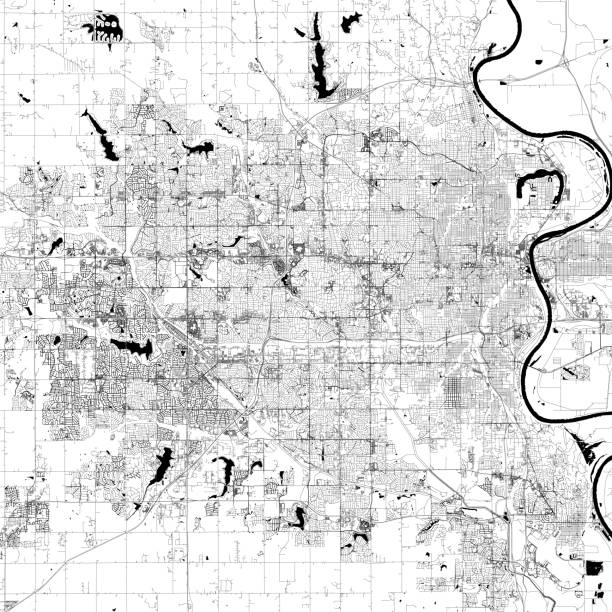
Topographic / Road map of Omaha, Nebraska, USA. Original map data is open data via © OpenStreetMap contributors. All maps are layered and easy to edit. Roads have editable stroke.

Omaha Nebraska City Skyline Silhouette with Golden Buildings Isolated on White. Vector Illustration. Business Travel and Tourism Concept with Historic Architecture. Omaha USA Cityscape with Landmarks.

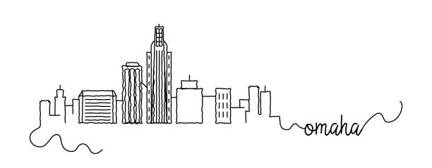
Hand drawn cartoon style sketch of the skyline of Omaha, Nebraska

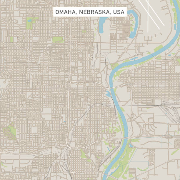
Vector Illustration of a City Street Map of Omaha, Nebraska, USA. Scale 1:60,000. All source data is in the public domain. U.S. Geological Survey, US Topo Used Layers: USGS The National Map: National Hydrography Dataset (NHD) USGS The National Map: National Transportation Dataset (NTD)

Minimal City Linear Skyline with Typographic Design

Outline Omaha Nebraska City Skyline with Blue Buildings and Reflections. Vector Illustration. Business Travel and Tourism Concept with Historic Architecture. Omaha USA Cityscape with Landmarks.
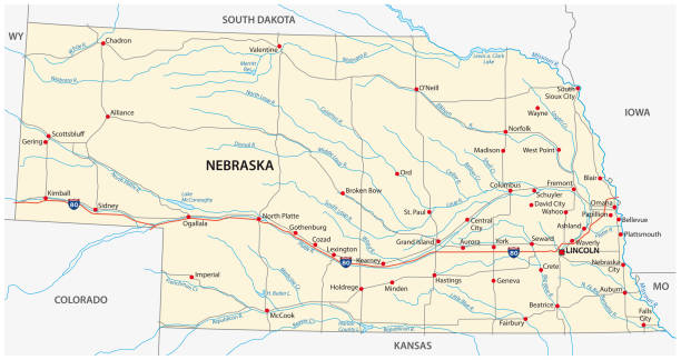
nebraska road vector map.

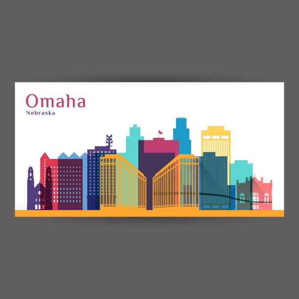
Omaha Nebraska City Skyline with Color Buildings and Blue Sky. Vector Illustration. Business Travel and Tourism Concept with Historic Architecture. Omaha USA Cityscape with Landmarks.
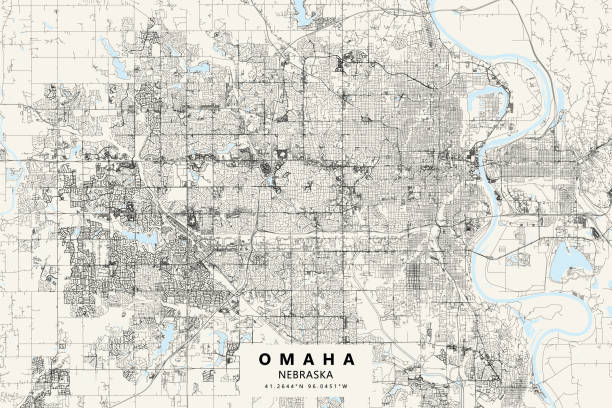
Poster Style Topographic / Road map of Omaha, Nebraska, USA. Original map data is open data via © OpenStreetMap contributors. All maps are layered and easy to edit. Roads have editable stroke.

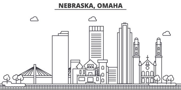
Nebraska, Omaha architecture line skyline illustration. Linear vector cityscape with famous landmarks, city sights, design icons. Editable strokes
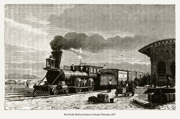
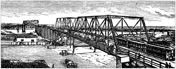
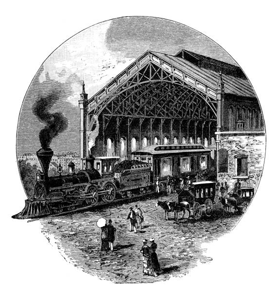
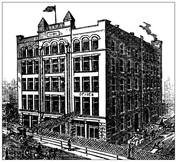
Beautifully Illustrated Antique Engraved Victorian Illustration of Railway Station in Omaha Nebraska, 1877. Source: Original edition from my own archives. Copyright has expired on this artwork. Digitally restored.

Stamp or label with name of Omaha, Nebraska, USA, vector illustration

Map of Nebraska cut out on a blank white paper with a blue background. Modern and trendy paper cutout effect. Vector Illustration (EPS file, well layered and grouped). Easy to edit, manipulate, resize or colorize. Vector and Jpeg file of different sizes.
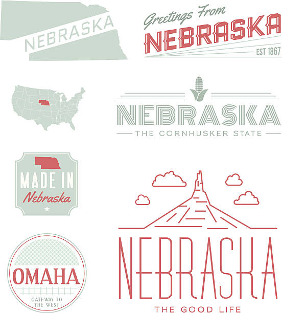
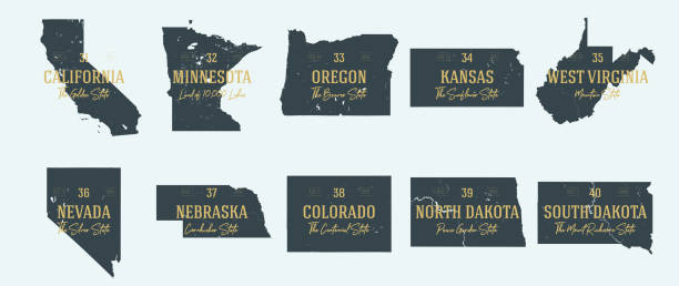
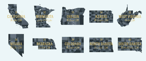
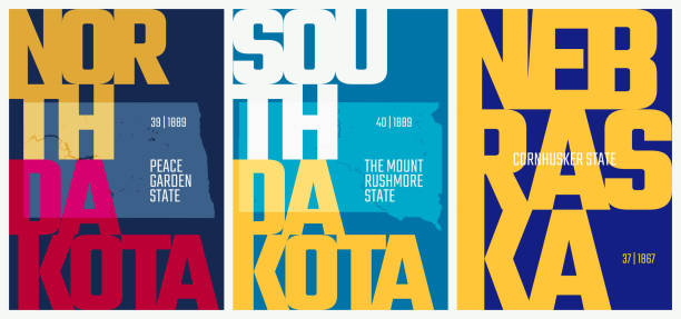
A set of vintage-style icons and typography representing the state of Nebraska, including Omaha and Chimney Rock. Each items is on a separate layer. Includes a layered Photoshop document. Ideal for both print and web elements.
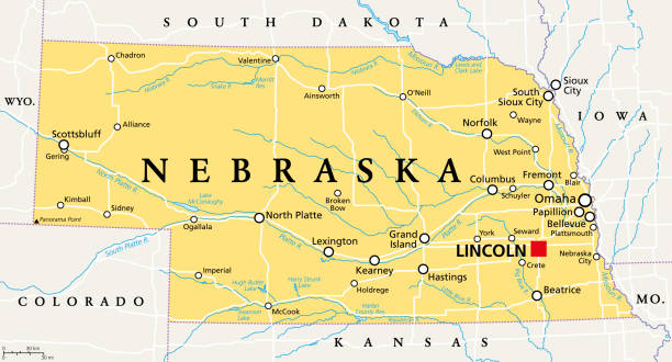
Nebraska, NE, political map with the capital Lincoln and the largest city Omaha. Triply landlocked State in the Midwestern subregion of the United States of America, nicknamed Cornhusker State. Vector
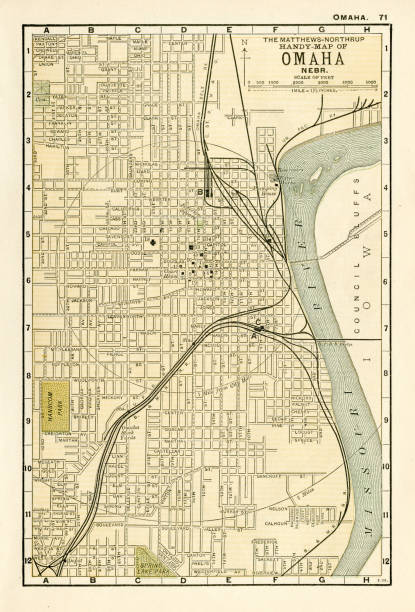
Map from the Complete Handy Atlas of the World - 1898
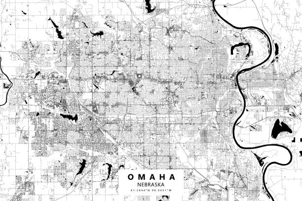
Poster Style Topographic / Road map of Omaha, Nebraska, USA. Original map data is open data via © OpenStreetMap contributors. All maps are layered and easy to edit. Roads have editable stroke.

Map of Nebraska created with a mesh of thin bright blue lines and glowing dots, isolated on a dark blue background. Conceptual illustration of networks (communication, social, internet, ...). Vector Illustration (EPS10, well layered and grouped). Easy to edit, manipulate, resize or colorize.

Omaha Nebraska City Skyline with Color Buildings Isolated on White. Vector Illustration. Business Travel and Tourism Concept with Historic Architecture. Omaha USA Cityscape with Landmarks.
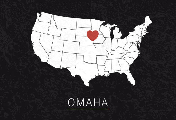
Love Omaha Picture. Map of United States with Heart as City Point. Vector Illustration

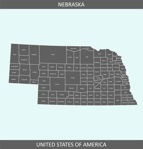
The map is accurately prepared by a map expert.

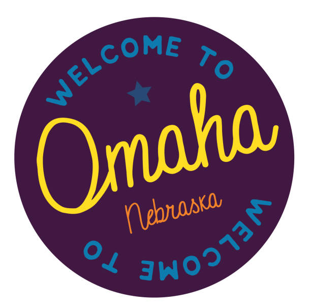
Welcome to Omaha Nebraska tourism badge or label sticker. Isolated on white. Vacation retail product for print or web.
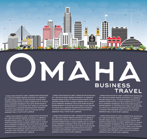
Omaha Nebraska City Skyline with Color Buildings, Blue Sky and Copy Space. Vector Illustration. Business Travel and Tourism Concept with Historic Architecture. Omaha USA Cityscape with Landmarks.
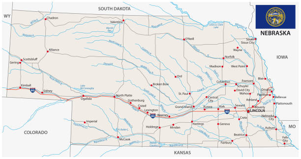
nebraska road vector map with flag.


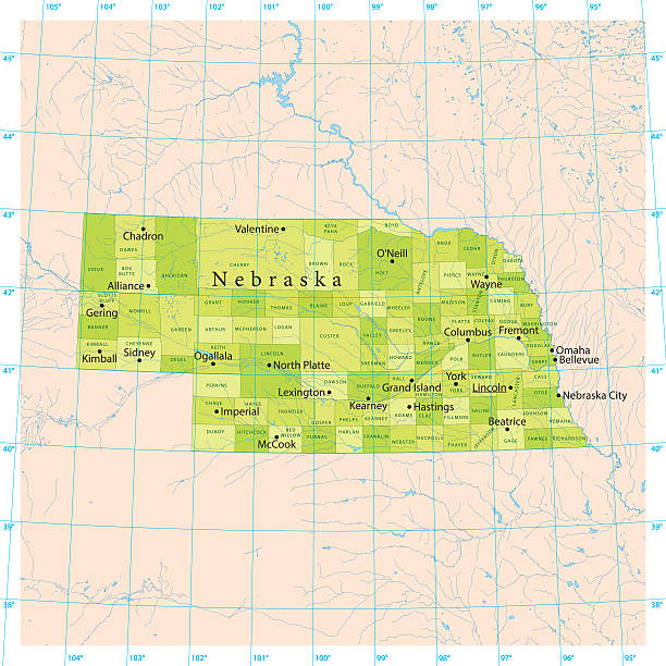
Detailed vector map of the US State of Nebraska with administrative divisions. The colors in the .eps-file are ready for print (CMYK). Included files are EPS (v10) and Hi-Res JPG (4924 x 4924 px).

Iowa, state of USA - solid black silhouette map of country area. Simple flat vector illustration.
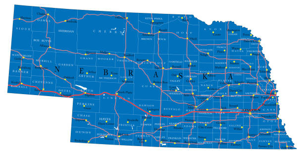
Detailed map of Nebraska state,in vector format,with county borders,roads and major cities.

Omaha handwritten city name.Modern Calligraphy Hand Lettering for Printing,background ,logo, for posters, invitations, cards, etc. Typography vector.

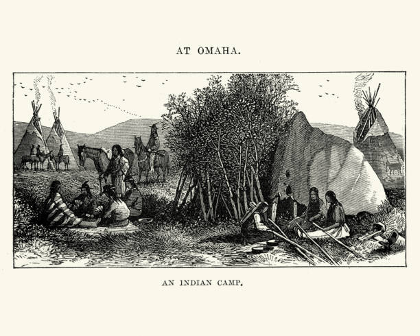
Vintage engraving of a Native American Camp at Omaha, Nebraska 19th Century
Nebraska, state of USA - solid black outline map of country area. Simple flat vector illustration.
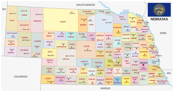
nebraska administrative and political vector map with flag.

United States, Omaha city skyline isolated vector illustration. United States, Omaha travel cityscape with landmarks


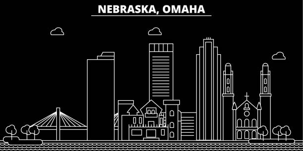
Omaha silhouette skyline. USA - Omaha vector city, american linear architecture, buildings. Omaha line travel illustration, landmarks. USA flat icon, american outline design banner