Ontario Canada stock illustrations
Browse 8,500+ ontario canada stock illustrations and vector graphics available royalty-free, or search for ontario canada skyline or wind turbine ontario canada to find more great stock images and vector art.
ontario canada skyline
wind turbine ontario canada
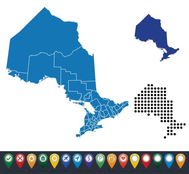
ontario canada map
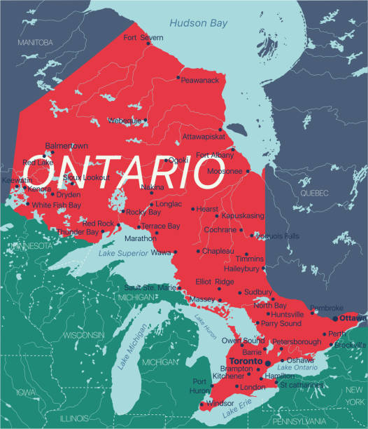
northern ontario canada
cambridge ontario canada
rural ontario canada
ontario canada landscape
london ontario canada
windsor ontario canada
ontario canada winter
map of ontario canada
ottawa ontario canada
collingwood ontario canada
burlington ontario canada
cornwall ontario canada
ontario canada people
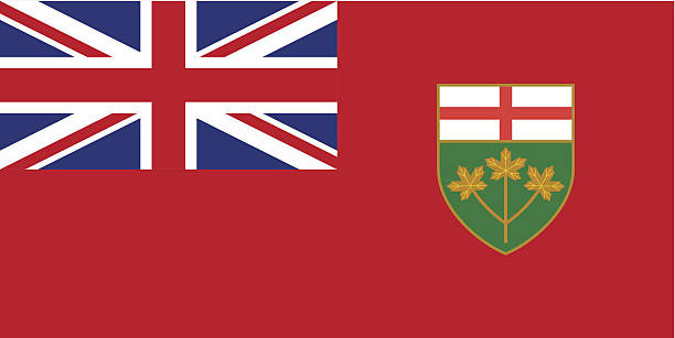
ontario canada flag
lake ontario canada
Most popular
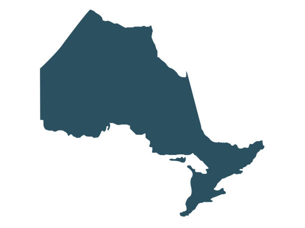
vector illustration of Ontario map
ontario road vector map
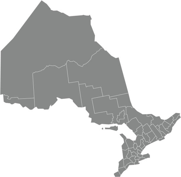
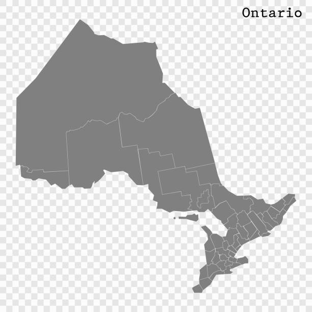
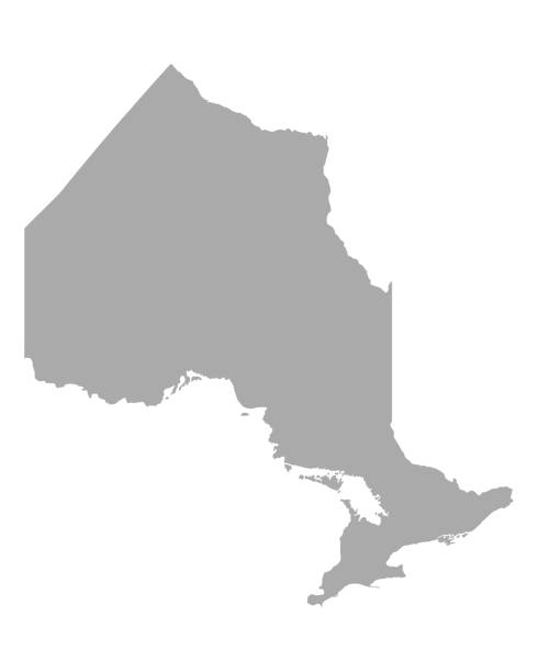
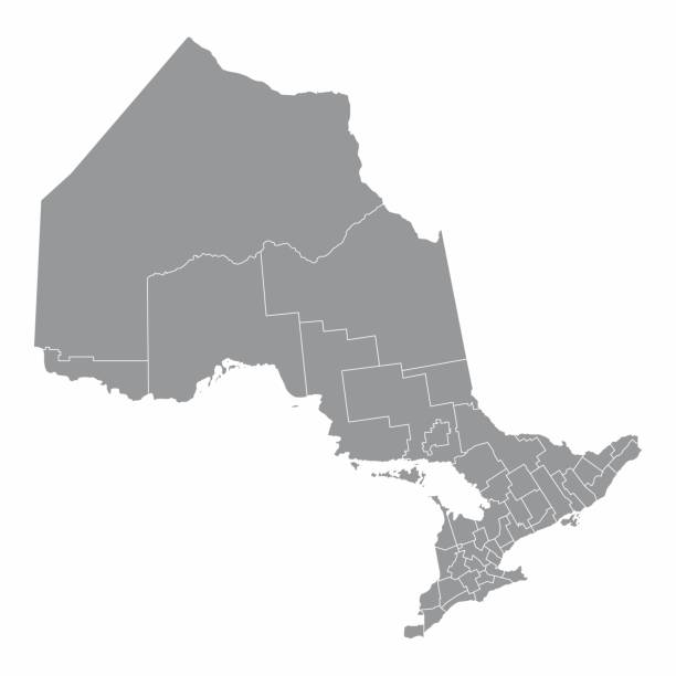
Gray flat blank vector administrative map of Canadian province of ONTARIO, CANADA with white border lines of its municipalities, counties and districts
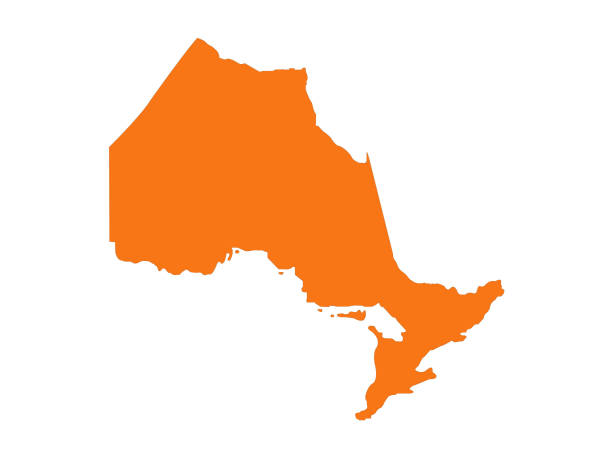
vector illustration of Ontario map
Concept of travel. Map of Ontario textured by lines and dots pattern
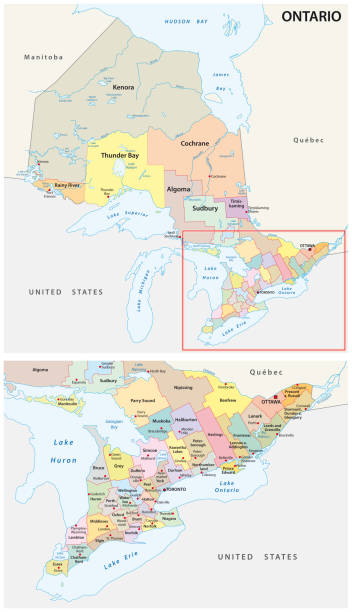
High Quality map of Ontario is a province of Canada, with borders of the counties
vector illustration of Ontario map

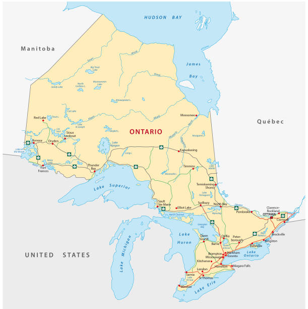
Ontario Map. Canada state with cities and towns

3D map of Ontario isolated on a blank and gray background, with a dropshadow. Vector Illustration (EPS10, well layered and grouped). Easy to edit, manipulate, resize or colorize. Vector and Jpeg file of different sizes.
Ontario province vector editable map of the Canada with capital, national borders, cities and towns, rivers and lakes. Vector EPS-10 file
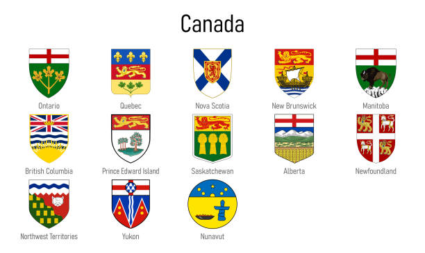
Coat of arms of the provinces of Canada, All Canadian regions emblem collection
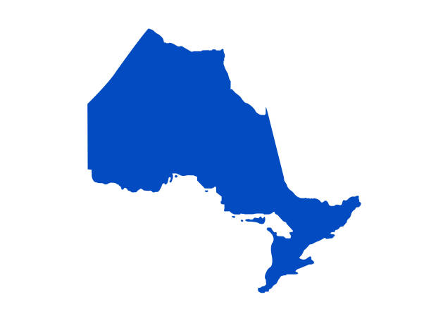
Province of Ontario

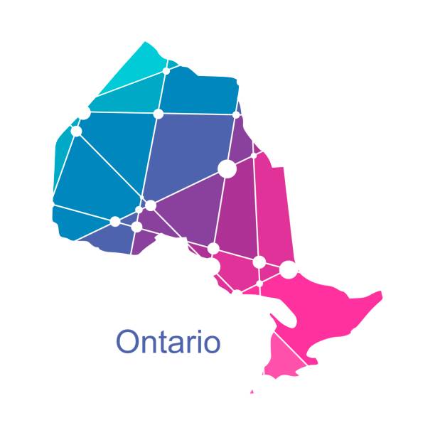
Map of Ontario created with round blue dots on a blank background. Modern and trendy mosaic illustration. Vector Illustration (EPS10, well layered and grouped). Easy to edit, manipulate, resize or colorize.
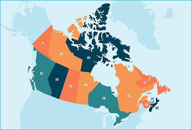
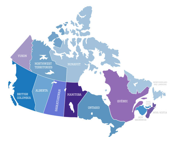
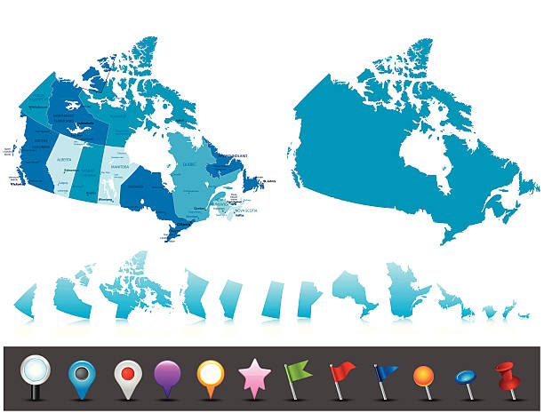
Colorful stylized vector map of Canada with labeled provinces and territory name abbreviations. All provinces and territories can be individually selected.
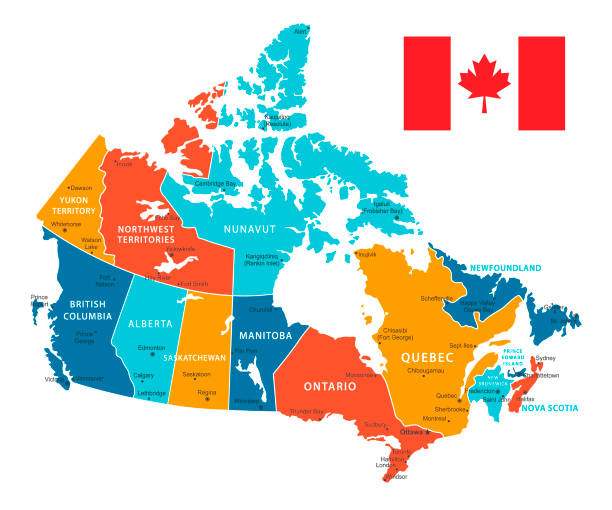
Vector Map of Canada with borders, cities and national flag. All elements are separated in editable layers
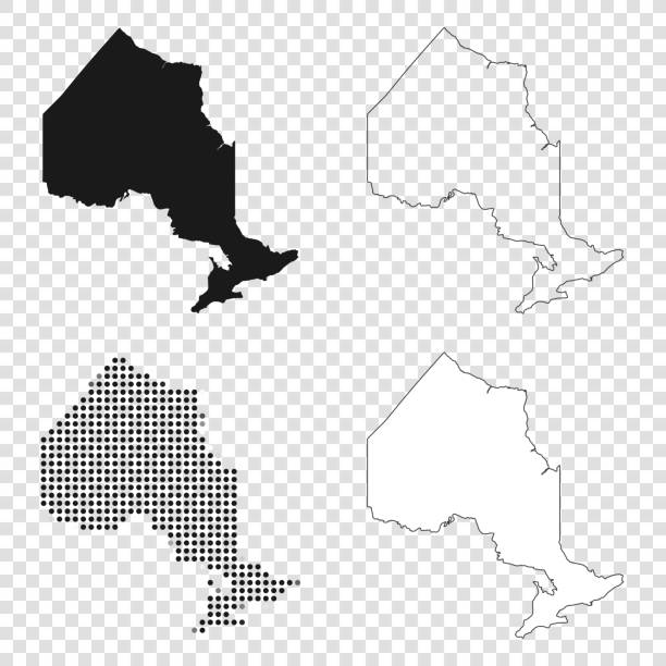
Map of Ontario for your own design. With space for your text and your background. Four maps included in the bundle: - One black map. - One blank map with only a thin black outline (in a line art style). - One mosaic map. - One white map with a thin black outline. The 4 maps are isolated on a blank background (for easy change background or texture).The layers are named to facilitate your customization. Vector Illustration (EPS10, well layered and grouped). Easy to edit, manipulate, resize or colorize.

White map of Ontario isolated on a trendy color, a blue green background and with a dropshadow. Vector Illustration (EPS10, well layered and grouped). Easy to edit, manipulate, resize or colorize.
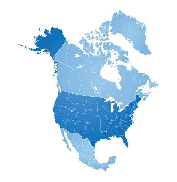
Map of North America with countries, states on white background

White map of Ontario isolated on a gray background with a long shadow effect and in a flat design style. Vector Illustration (EPS10, well layered and grouped). Easy to edit, manipulate, resize or colorize.
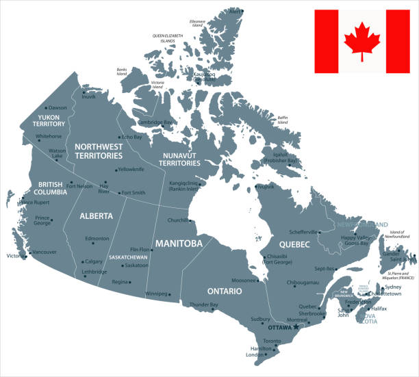
Map of Canada - Vector illustration

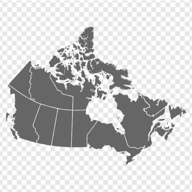
Vector isolated illustration of simplified administrative map of Canada. Borders of the provinces (regions). Grey silhouettes. White outline.
Large detailed road map of Canada

Toronto Canada Area Vector Map. All source data is in the public domain. Made with Natural Earth. http://www.naturalearthdata.com/about/terms-of-use/

Canada map - highly detailed vector illustration

Canada map outline with stars and lines abstract framework. Communication, connection concept. Modern futuristic low polygonal, wireframe, lines dots design. Vector illustration.
Ontario administrative map isolated on white background, Canada

The Ontario province map with the main cities, isolated on white background, Canada


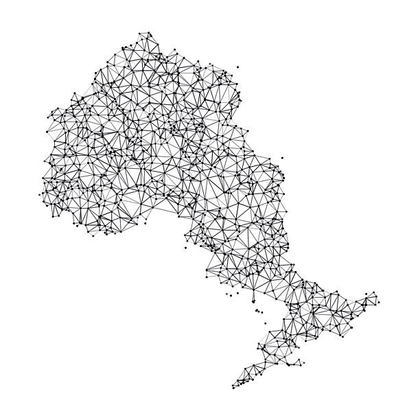
Ontario Map Network in Black And White. The colors in the .eps-file are in RGB. Transparencies used. Included files are EPS (v10) and Hi-Res JPG (3472 x 3472 px).
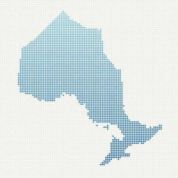
Abstract dot pattern vector map of Ontario Province, Canada. Carefully built with little circles. The country dots and background dots are each grouped as a compound path, so you can easily change colors and even use gradients with just a few clicks. File was created in Adobe Illustrator on April 17, 2014. The colors in the .eps-file are ready for print (CMYK). Included files are EPS (v10) and Hi-Res JPG (3000 x 3000 px).
Country Canada travel vacation guide of goods, place and feature

Cartoon map of Ontario I have used http://legacy.lib.utexas.edu/maps/americas/canada_pol99.jpg
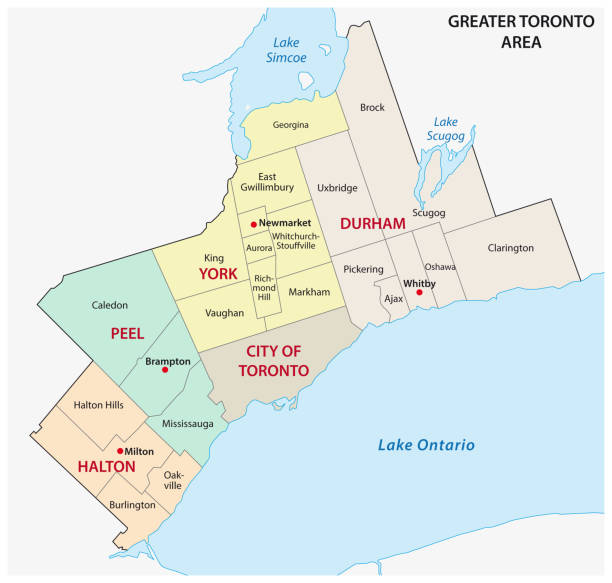
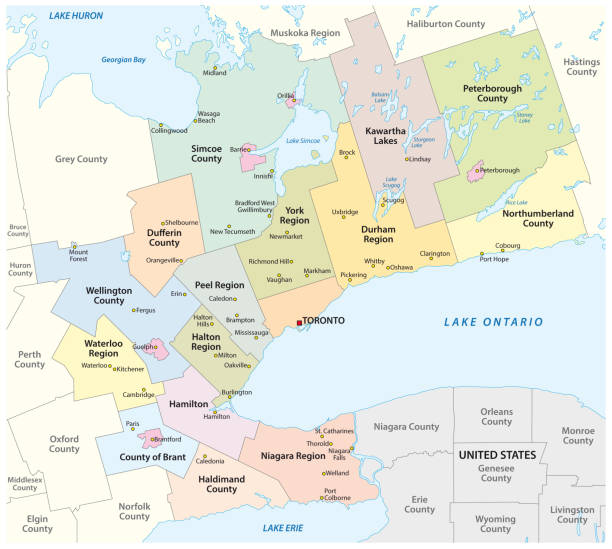
greater toronto area administrative and political vector map


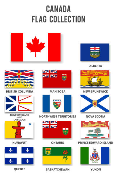
The Provincial flags of Canada. All elements are grouped, layered and clearly labelled.
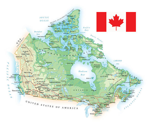
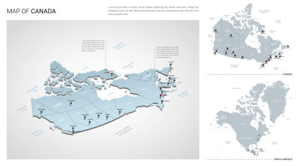
Highly detailed map of Canada with administrative divisions, cities, flag and navigation icons.

Ultra detailed vector map of Canada with administrative divisions. Including main rivers and lakes. Each province and territory is grouped separately. You can zoom in well in the vector file. There's more detail visible than you can see in the preview window, because there's a limit of 6000 pixels. You may open the .eps-file in Photoshop at even higher resolutions. Great for super-size usage like trade fair walls. File was created on August 09, 2012. The colors in the .eps-file are ready for print (CMYK). Included files: EPS (v8) and Hi-Res JPG (6000 x 6000 px).

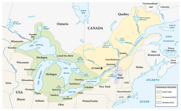
Vector graphic of the North American great lakes and their neighboring countries
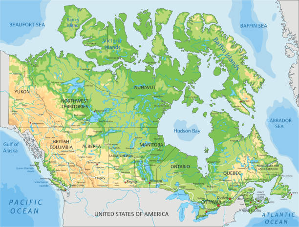
High detailed Canada physical map with labeling. Organized vector illustration on seprated layers.

Sun sets behind an island.

Toronto travel background. Vector illustration

Official current vector coat of arms of the Canadian province of ONTARIO, CANADA

Map Canada. Poster map of provinces and territories of Canada. Black and white print map of Canada for t-shirt, poster or geographic themes. Hand-drawn black map with provinces. Vector Illustration
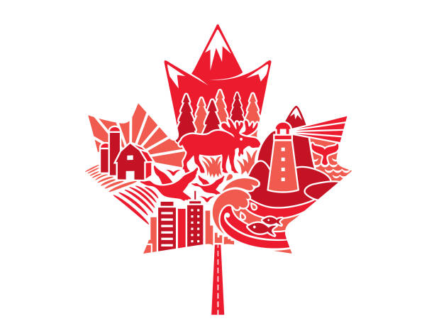
National maple leaf of Canada made up of traditional iconography
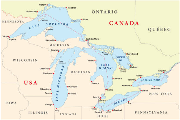
Vector map of great lakes


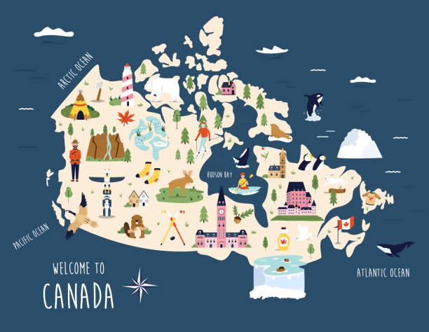
Vector illustrated map of Canada with famous landmarks, buildings, symbols. Design for poster, tourist leaflets, guides, prints