 free data which are in the public domain. Created on 2013-07-04 in specialized cartographic software - MAPublisher. Backgrounds Stock Photo")
Description
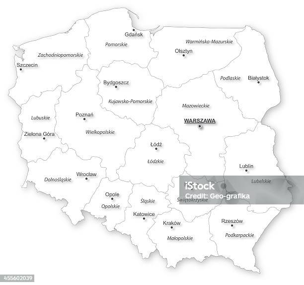
Map of Poland with voivodeships and main cities on white projected in UTM geographic coordinate system. Polish labels / names. Map was made with Natural Earth (naturalearthdata.com) free data which are in the public domain. Created on 2013-07-04 in specialized cartographic software - MAPublisher.