Northern Ireland Photos Pictures, Images and Stock Photos
Browse 30,800+ northern ireland photos stock photos and images available, or start a new search to explore more stock photos and images.
Most popular
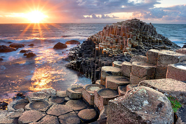
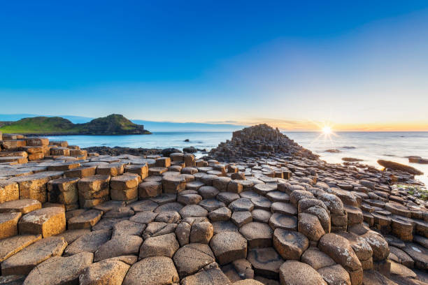
People visiting Giant s Causeway at the sunset in North Antrim, Northern Ireland
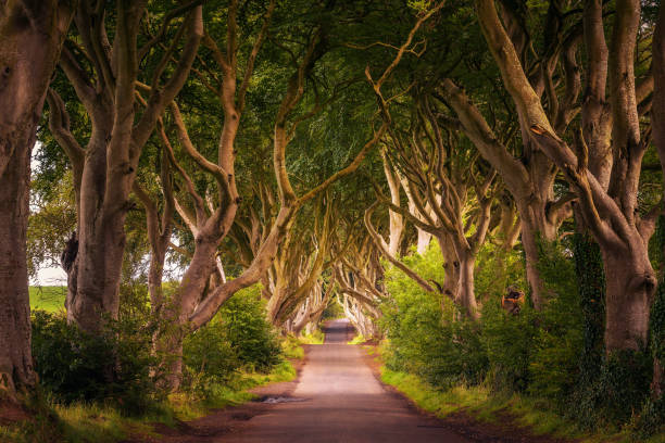
Road through the Dark Hedges tree tunnel at sunset in Ballymoney, Northern Ireland, United Kingdom
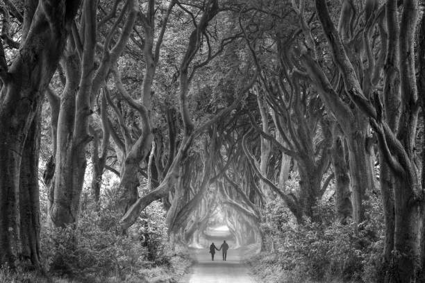
Rear view on couple holding hands walking through foggy dark hedges in Northern Ireland. Black and white picture (RGB file).
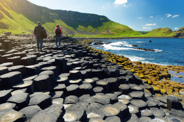
Two tourists walking at Giants Causeway, an area of hexagonal basalt stones, created by ancient volcanic fissure eruption, County Antrim, Northern Ireland. Famous tourist attraction, UNESCO World Heritage Site.

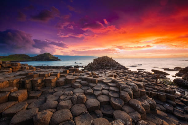
Dramatic sunset at the Giant's Causeway in Northern Ireland, UK.
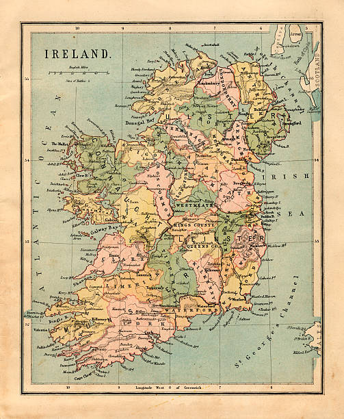
Map of Ireland. Selective Focus.
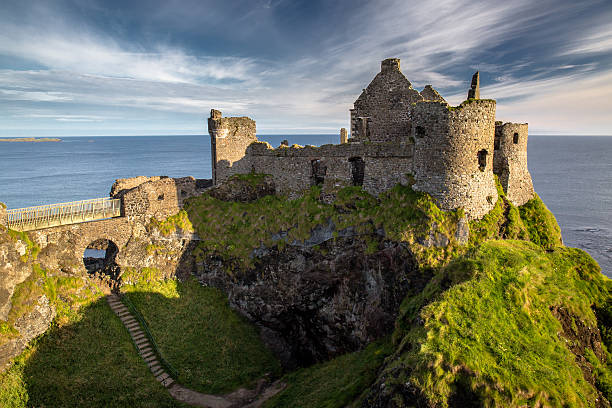
Ruins of Dunluce Castle, Northern Ireland, Co. Antrim
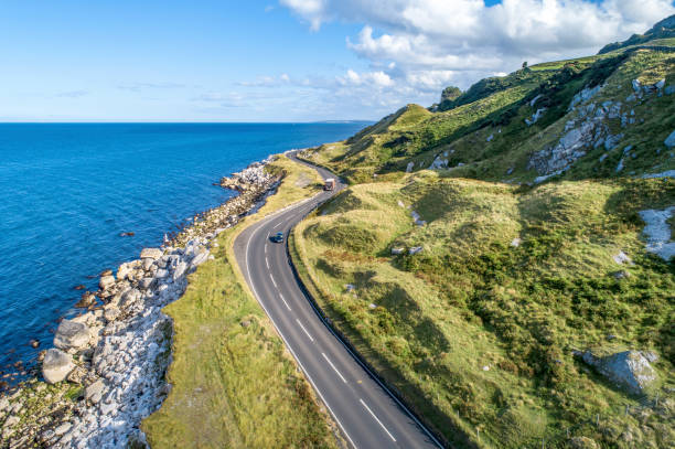
Causeway Costal Route with cars, a.k.a. Antrim Coastal Road on eastern coast of Northern Ireland, UK.

A 'Polling Station' sign outside village hall during a UK election.
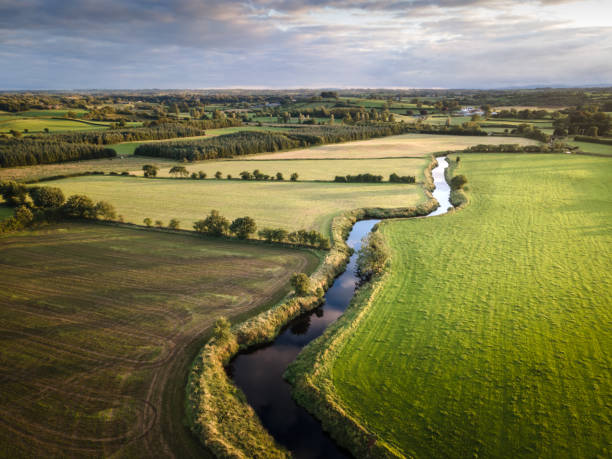
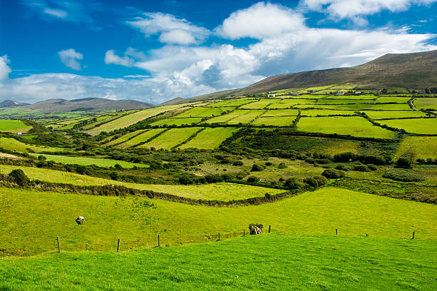
A beautiful aerial scenic of the County Antrim countryside, in summer, with agricultural land and grass in fields, and River Maine winding into the distance. taken at Glarryford, Northern Ireland
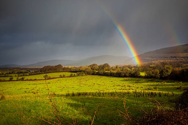
Sunshine and rainbows competing against the rain. All four seasons at once.
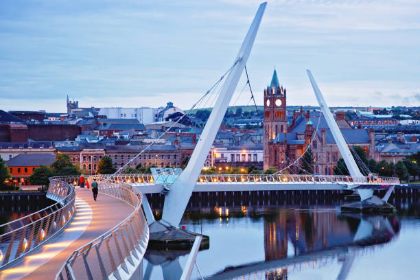
Derry, Ireland. Illuminated Peace bridge in Derry Londonderry, City of Culture, in Northern Ireland with city center at the background. Night cloudy sky with reflection in the river at the dusk.
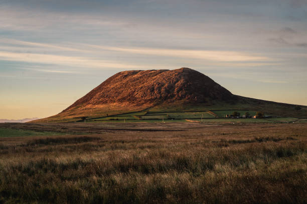
Slemish mountain on a summer evening at sunset, with beautiful dusk side lighting and overcast sky. The grass fields are bordered in distance with hand built stone walls. The mountain is a popular tourist attraction, and for walking. St. Patrick tended sheep there as a young man. The mountain is actually the plug of an extinct volcano
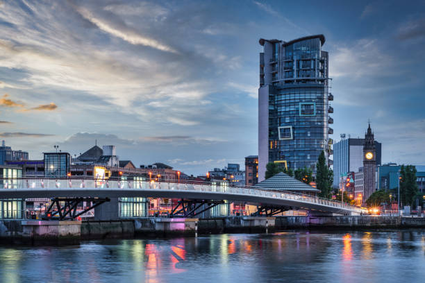
Belfast City Sunset with colorful twilight over Lagan Weir Pedestrian and Cycle Bridge spanning over the Lagan River in downtown Belfast. Illuminated Modern Urban Riverside Cityscape of Belfast. Belfast, Northern Ireland, UK, Europe
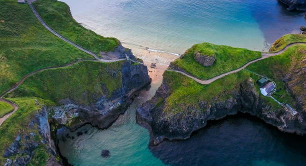
The rope bridge connecting the two cliffs in Northern Ireland it is called the Carrick-a-Rede Rope Bridge taken in an aerial shot

a herd of sheep with thick wooly coats and looking at camera, grazing in the hills in County Antrim, Northern Ireland, under a dark moody sky with low winter sunlight
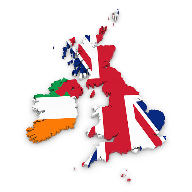
3D Outline of the United Kingdom and Ireland textured with the Union Jack and Irish Flags
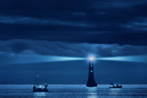
Lighthouse and ships in the night. Original shot was taken in Northern Ireland, at the Haulbowline lighthouse. Haulbowline is a main sea light and also serves to guide vessels from seaward through the entrance channel into Carlingford Lough. It is built on a wave-washed rock, exposed only at low tide. It is located in the middle of the entrance to Carlingford Lough, just on the northern side of the border between Ireland and Northern Ireland. Accessible only by boat.
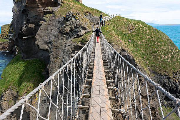
Two people crossing the Carrick-a-Rede Rope Bridge, a popular tourist destination in Northern Ireland.
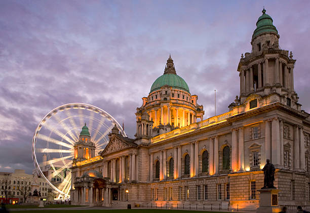
The City Hall Belfast and the 'Belfast Eye'
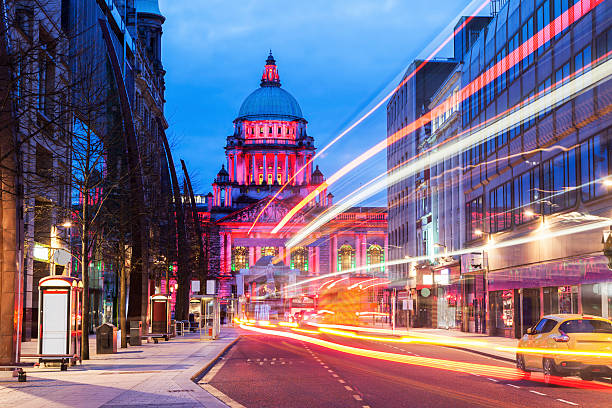
Illuminated Belfast City Hall. Belfast, Northern Ireland, United Kingdom.
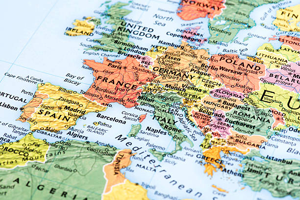
Map of Europe. Detail from the World Atlas.
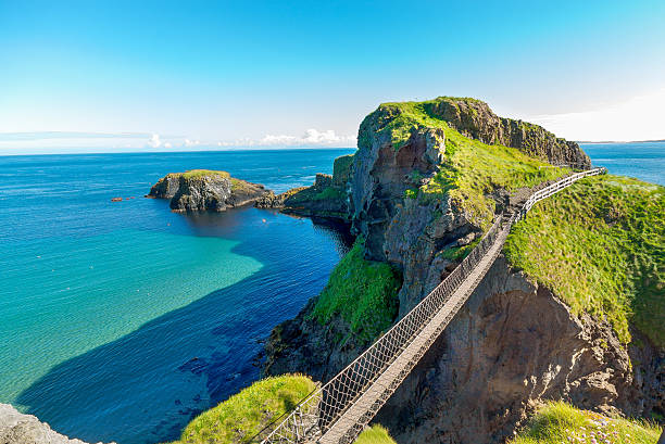
in Northern Ireland rope bridge, Carrick-a-Rede
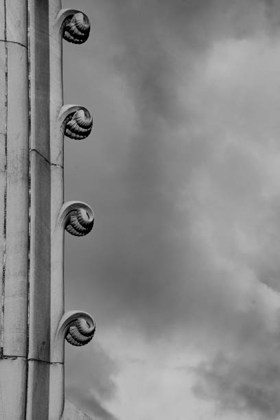
Curled fern leaves carved out of sandstone on the supporting wall of the Albert Memorial Clock, a public memorial designed by W.J. Barre and constructed in 1869. Belfast, Northern Ireland.
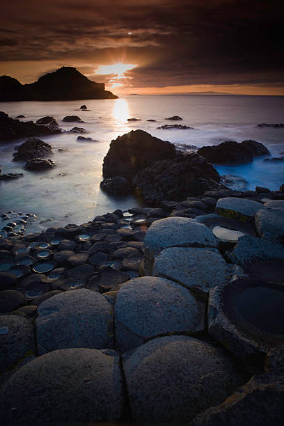
Sunset at the Giants Causeway
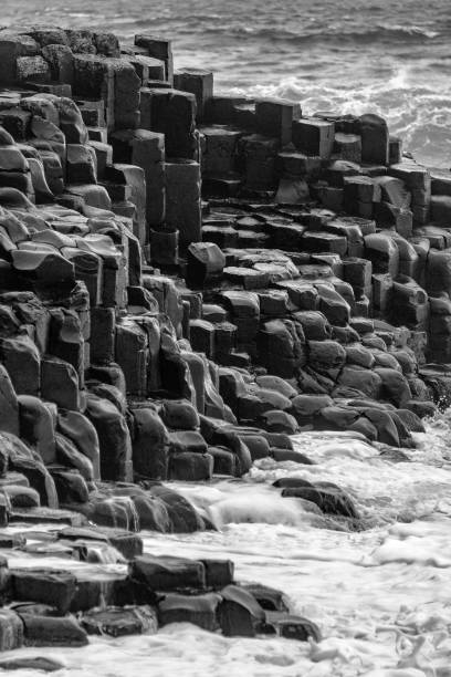
Black and white image of basalt rocks and a rough sea.
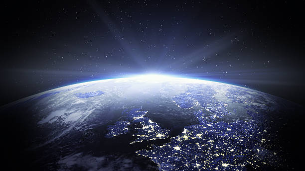
United Kingdom and Europe view from space at night.
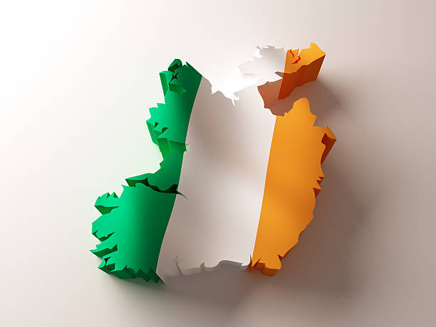
Flag map of Ireland on white background. 3d rendered illustration.
Sunset, Sunrise - Dawn, Sun, Stone - Object, National Landmark
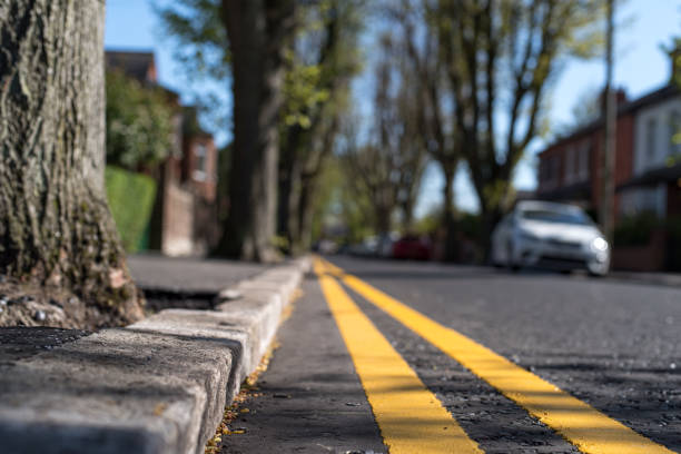
Close up of double yellow lines (meaning, no parking at any time) at the curb of a tree lined residential urban street, Belfast, Northern Ireland.
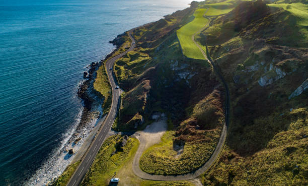
Northern Ireland. Atlantic coastline with famous coast road called Causeway Coastal Route and cliffs. One of the most scenic coastal roads in Europe. Aerial view in winter with cars against the sun
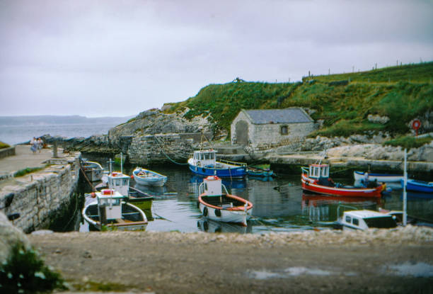
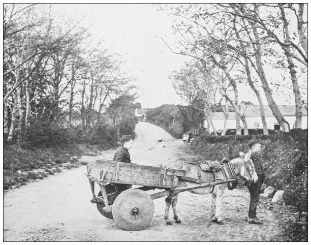
July and August -1986, old Positive Film scanned, Ireland.
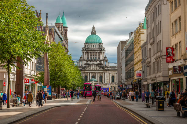
Belfast, Northern Ireland-U.K - July 30, 2018: View along a street to the City Hall in Belfast. Many tourists are around.
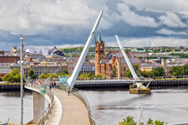
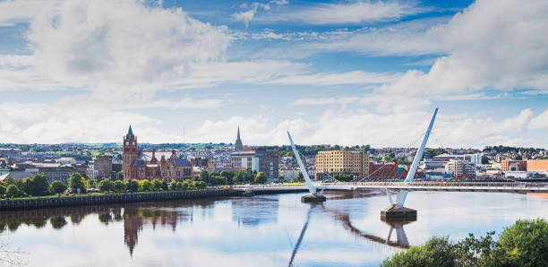
View over the River Foyle to the Guildhall and the Peace Bridge in Londonderry

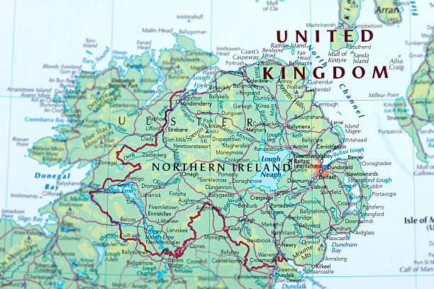
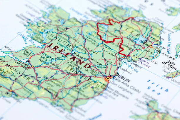
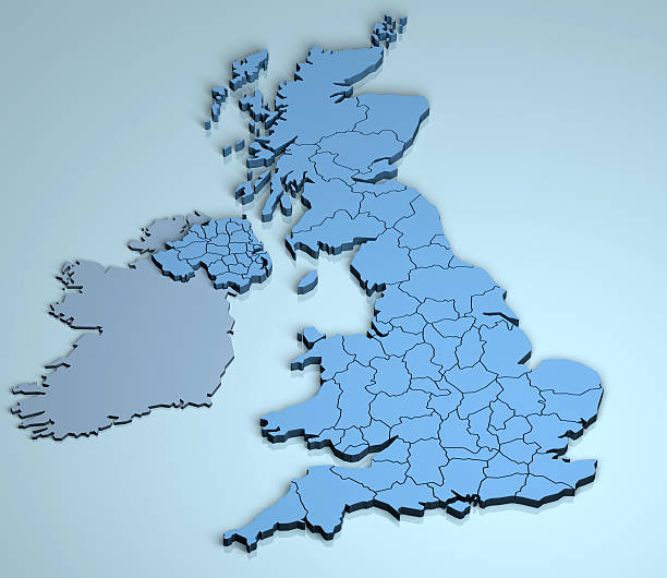
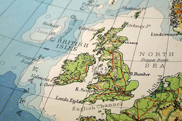
Map of Northern Ireland.
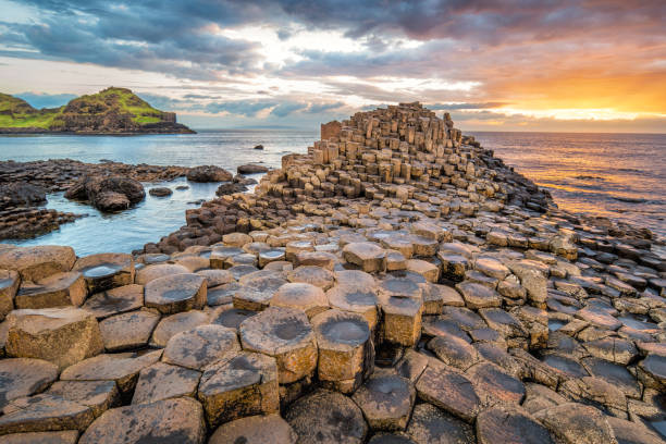
Stock photograph of a dramatic sunset at the Giant's Causeway in Northern Ireland, UK.

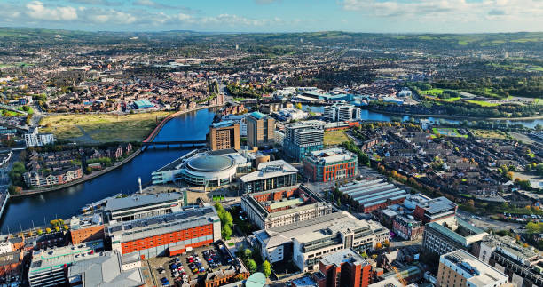
Belfast city center form a drone
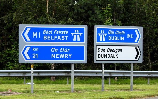
Belfast, Newry, Dublin and Dundalk directional road signs.
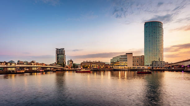
Panorama of Belfast River Lagan Waterfront Cityscape and Lagan Bridge at Sunset Twilight. Lagan Bridge Waterfront, Belfast, Northern Ireland, UK
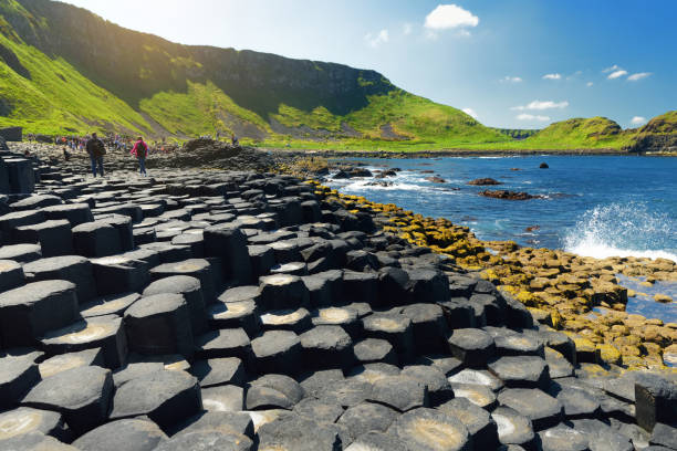
Giants Causeway, an area of hexagonal basalt stones, created by ancient volcanic fissure eruption, County Antrim, Northern Ireland. Famous tourist attraction, UNESCO World Heritage Site.
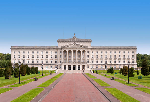
Northern Ireland Assembly and Government building in Stormont Estate in Belfast
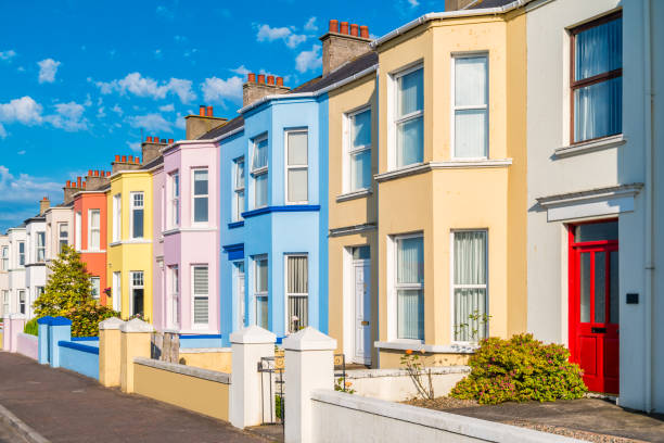
Stock photograph of colorful townhouses in Portrush Northern Ireland, UK
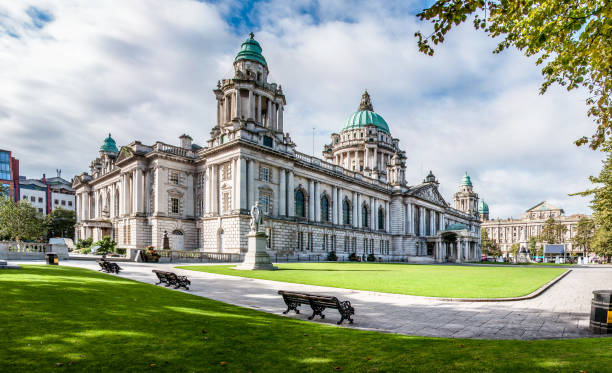
Belast City Hall in Northern Ireland, UK
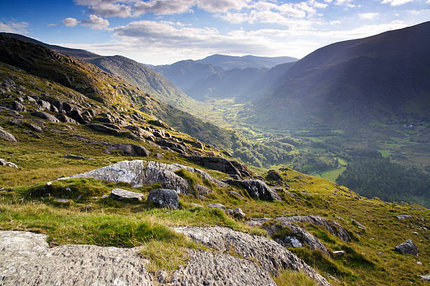
Sunlight enlights a Valley.
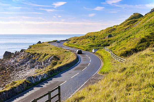
The eastern coast of Northern Ireland and Antrim Coastal road with cars
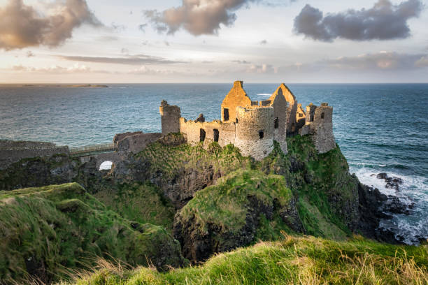
This is a picture of the ruins of Dunluce Castle in Northern Ireland. It was built in the 13th century on the top of a sea cliff looking out to the Atlantic Ocean
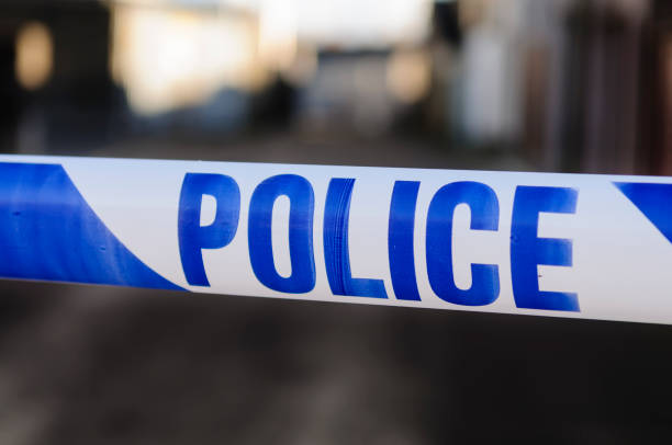
Police tape at the cordon across a crime scene