Newfoundland & Labrador Pictures, Images and Stock Photos
Browse 17,400+ newfoundland & labrador stock photos and images available, or search for prince edward island or newfoundland dog to find more great stock photos and pictures.
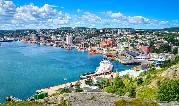
St John's Harbour in Newfoundland Canada. Panoramic view, Warm summer day in August.
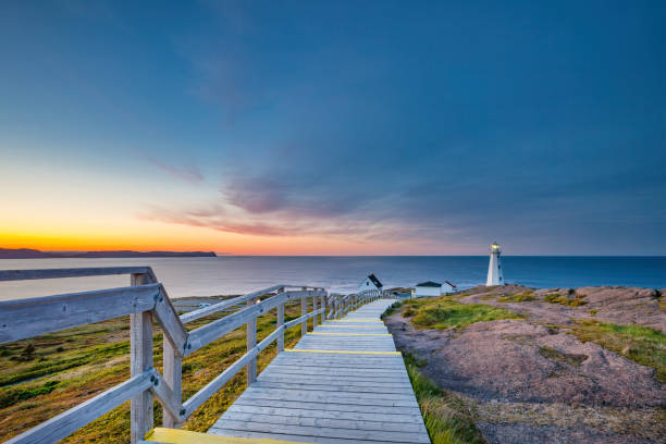
Boardwalk leading to the Cape Spear Lighthouse near St John's, Newfoundland, Canada at sunset. Cape Spear is the most easterly point in Canada.

Family homes and a lighthouse in Trinity, Newfoundland
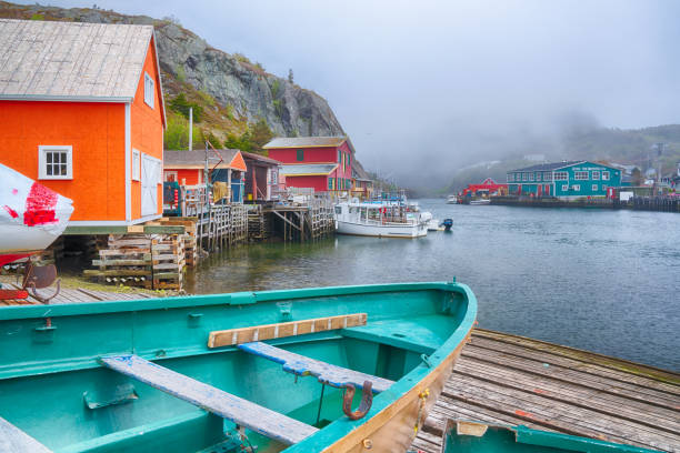
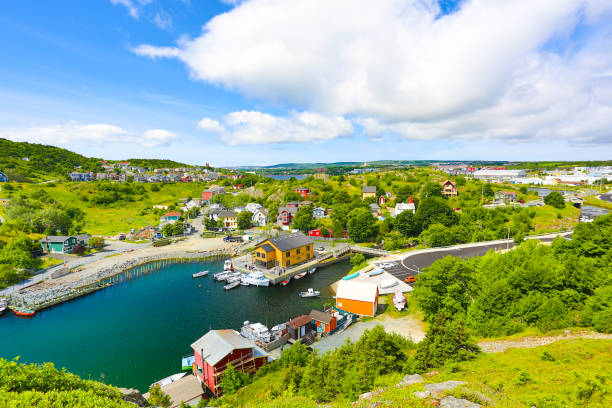
St John's, Newfoundland, CA - June 16, 2019: Historic old fishing village of Quidi Vidi in St John's, Newfoundland, Canada
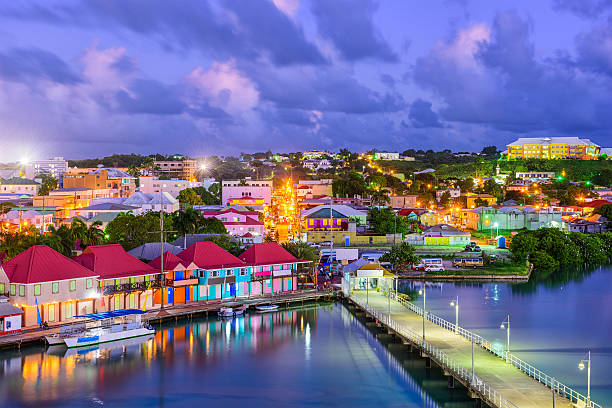
St. John's, Antigua port and skyline at twilight.

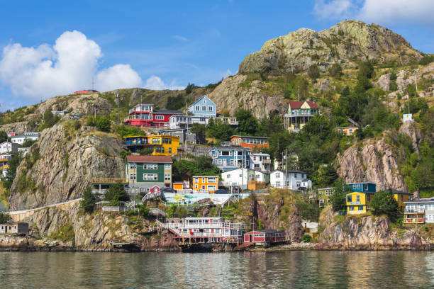
St John's, Newfoundland

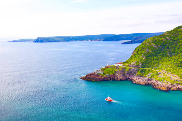
Cape Spear National Historic Site, St Johns Newfoundland.

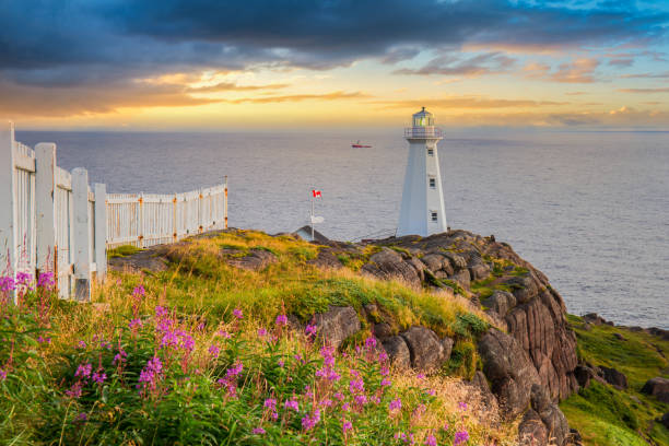
Watching the sunrise at Cape Spear Lighthouse in St. Johns, Newfoundland.
Newfoundland and Labrador (provinces and territories of Canada) map vector illustration, scribble sketch Newfoundland and Labrador map
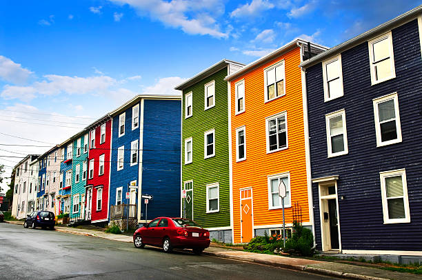
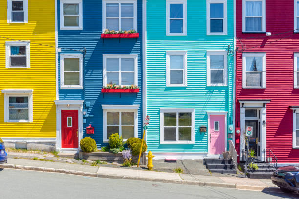
Street with colorful houses in St. John's, Newfoundland, Canada
Newfoundland and Labrador, Canada.
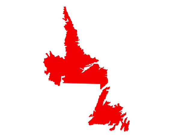
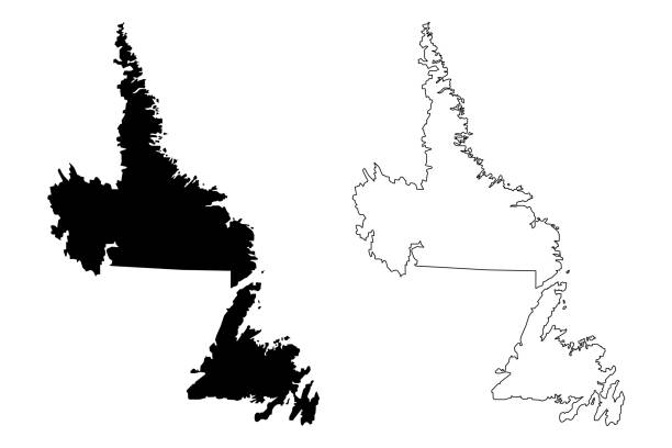
vector illustration of Newfoundland and Labrador map

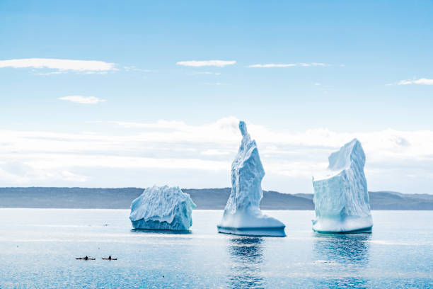
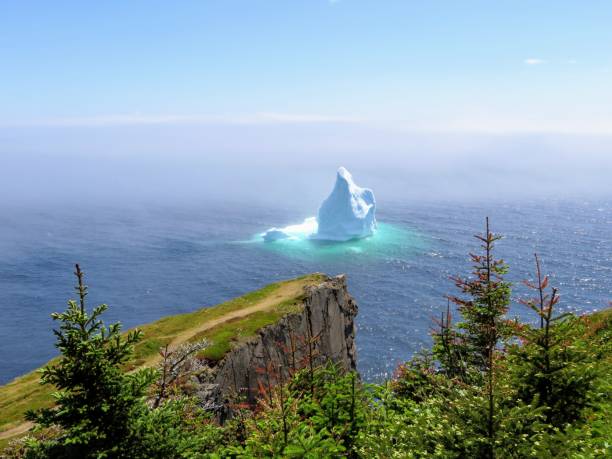
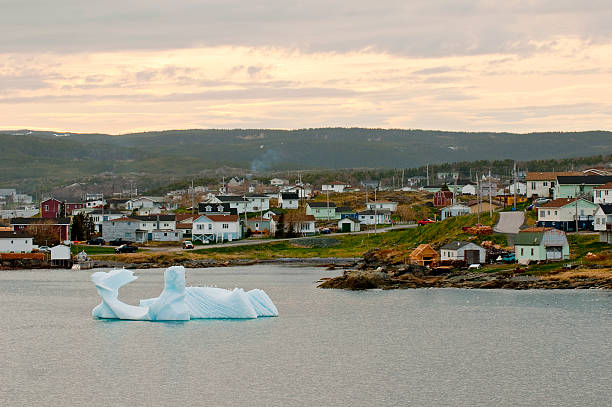
An iceberg floats close to shore along the rugged coastline of the east coast trail, near Trinity, Newfoundland and Labrador, Canada
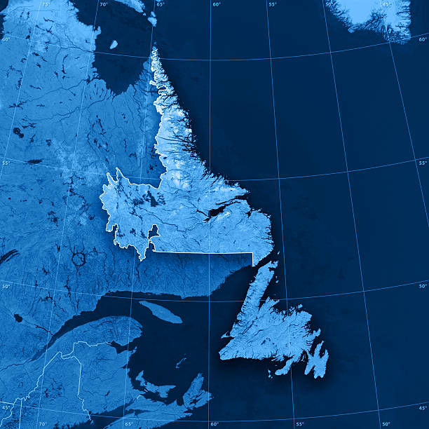
"3D render and image composing: Topographic Map of Newfoundland and Labrador, Canada. Including state borders, rivers and accurate longitude/latitude lines. High quality relief structure!Relief texture and satellite images courtesy of NASA. Further data source courtesy of CIA World Data Bank II database.Related images:"
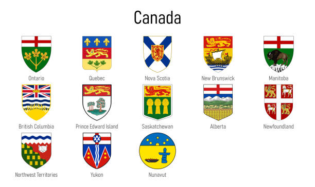
Coat of arms of the provinces of Canada, All Canadian regions emblem collection

Map of Newfoundland and Labrador in a realistic neon sign style. The map is created with a pink glowing neon light on a dark brick wall. Modern and trendy illustration with beautiful bright colors. Vector Illustration (EPS10, well layered and grouped). Easy to edit, manipulate, resize or colorize.

vector illustration of Newfoundland and Labrador map

Stock photograph of couple embracing at the landmark Cape Spear Lighthouse near St John's, Newfoundland, Canada at sunset. Cape Spear is the most easterly point in Canada.

Newfoundland black dog profile portrait at sunset
Newfoundland and Labrador, Canada.

White map of Newfoundland and Labrador isolated on a trendy color, a blue green background and with a dropshadow. Vector Illustration (EPS10, well layered and grouped). Easy to edit, manipulate, resize or colorize.

The city of Corner Brook, Newfoundland is seen on a beautiful sunny late afternoon from a lookout by the highway on the way into town.
vector illustration of Newfoundland and Labrador map
Newfoundland and Labrador, Canada.
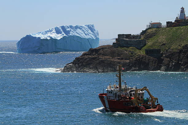
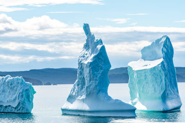
A huge iceberg floats in the harbor of St.John's , Newfoundland, Canada. June 13, 2014

A person climbing the stairs from George Street to Duckworth Street, St. John's, Newfoundland, summer.
The Gros Morne National Park on the west coast of Newfoundland, in eastern Canada

all Flags provinces of Canada. Vector illustraion
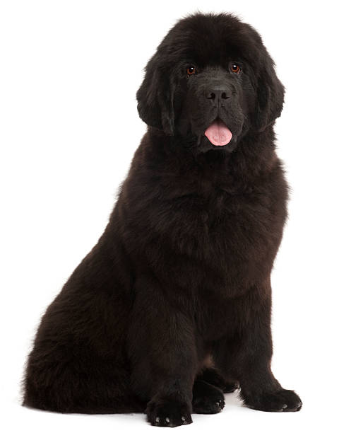
Newfoundland puppy, 5 months old, sitting in front of white background
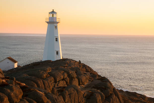
Watching Sunrise. Cape Spear Lighthouse National Historic Site, the easternmost point in Canada, and North America. (52°37'W) Newfoundland & Labrador

Newfoundland Dog on Dog Show
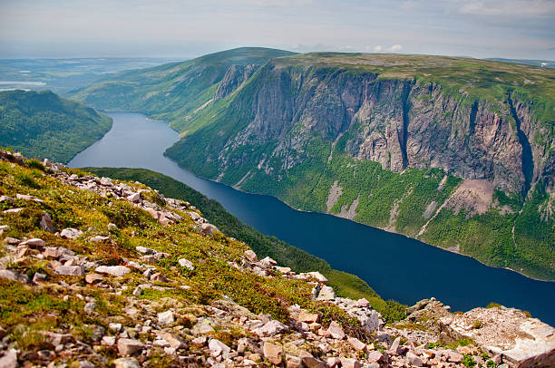
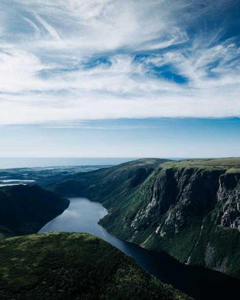
At the mountain top looking down onto the meandering river
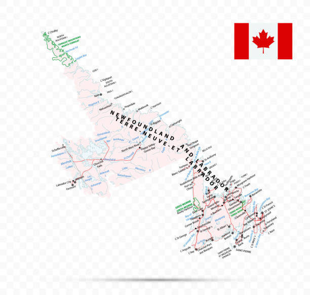
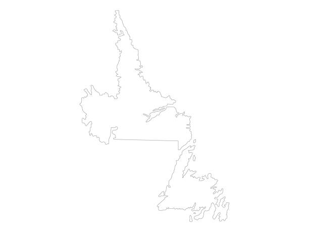
Newfoundland and Labrador Map. Canada state with cities and towns
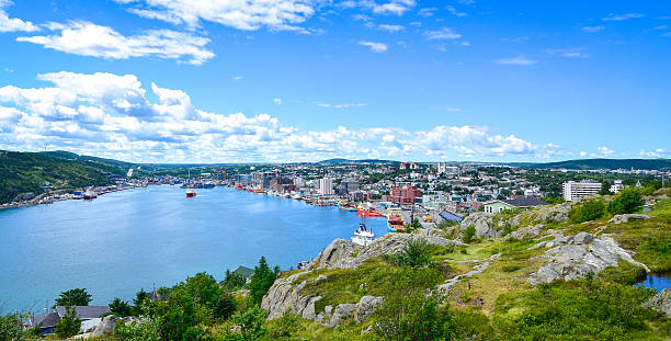
St John's Harbour in Newfoundland Canada. Panoramic view, Warm summer day in August.
'The Battery' a neighbourhood in St. John's, Newfoundland, Canada, seen from across St. John's Harbour in the summer.
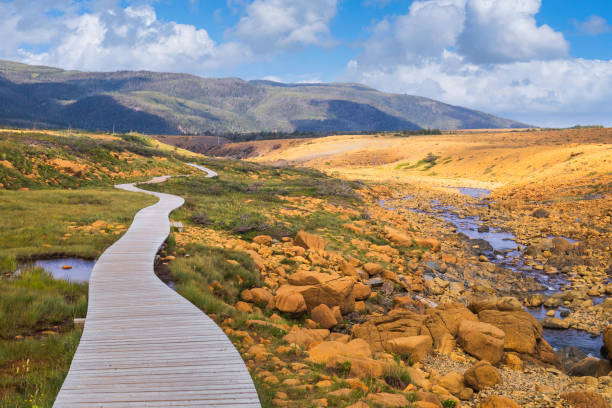
The Green Gardens hike within Gros Morne National Park in Newfoundland takes you from the barren Tablelands to the lush and dramatic coast along the Gulf of St. Lawrence.

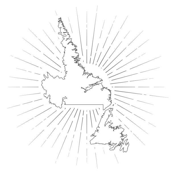
Map of Newfoundland and Labrador created with a thin black outline and light rays. Trendy and modern illustraion isolated on a blank background. Vector Illustration (EPS10, well layered and grouped). Easy to edit, manipulate, resize or colorize.
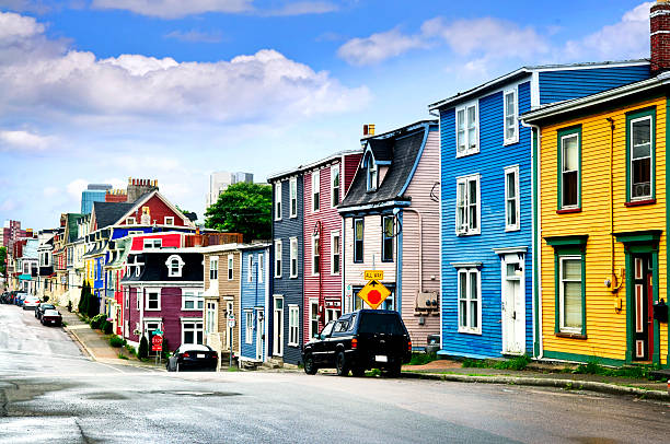
Street with colorful houses in St. John's, Newfoundland, Canada

St Johns, Newfoundland, Canada
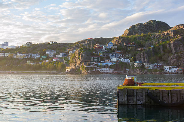
looking into the harbour through the fishing village in fort amherst.
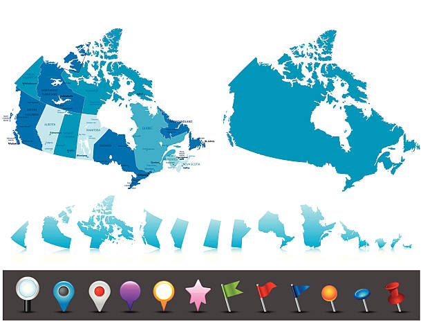
Highly detailed map of Canada with administrative divisions, cities, flag and navigation icons.
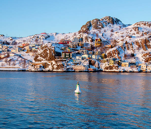
The Battery on a cold winter day in St. John's, Newfoundland and Labrador, Canada.
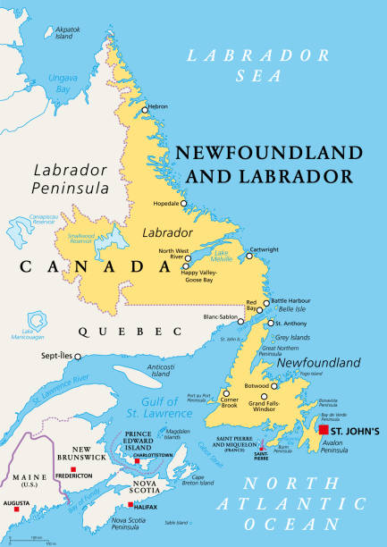
Newfoundland and Labrador, political map. Province of Canada, in the Atlantic region, with capital St. Johns. Island of Newfoundland and continental region of Labrador between Quebec and the Atlantic.
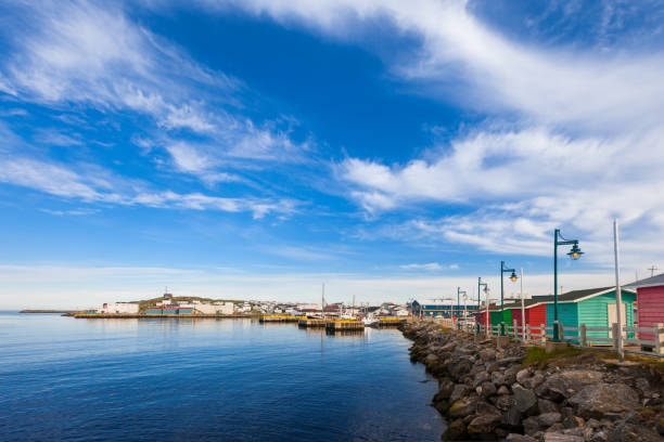
"View of Channel-Port aux Basques and its harbour, Newfoundland, CanadaSee more images of Newfoundland:"
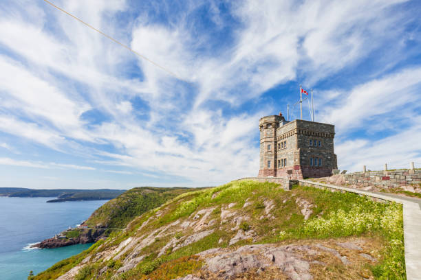
Stock photograph of Signal Hill with Cabot Tower in St John's, Newfoundland, Canada. Signal Hill and Cabot Tower are part of the Signal Hill National Historic Site of Canada.

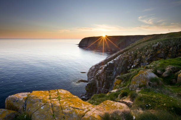
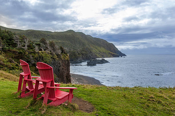
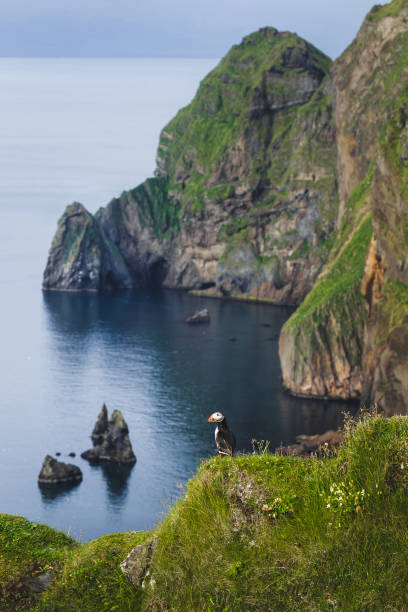
Crashing Waves on a Remote Newfoundland Coast on Cape St Mary

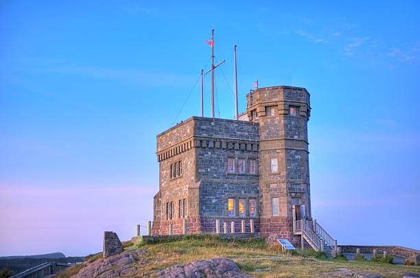
"Historic Cabot tower on Signal Hill, St John's, Newfoundland. Taken in the evening."

Oil rig drilling for oil of the coast of Newfoundland and Labrador