Balearic Islands stock vectors
Browse 2,500+ balearic islands stock illustrations and vector graphics available royalty-free, or search for spain balearic islands or balearic islands flag to find more great stock images and vector art.
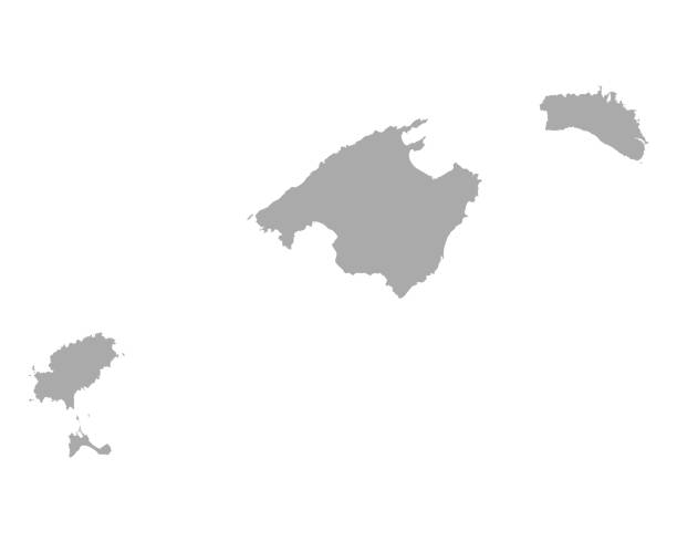
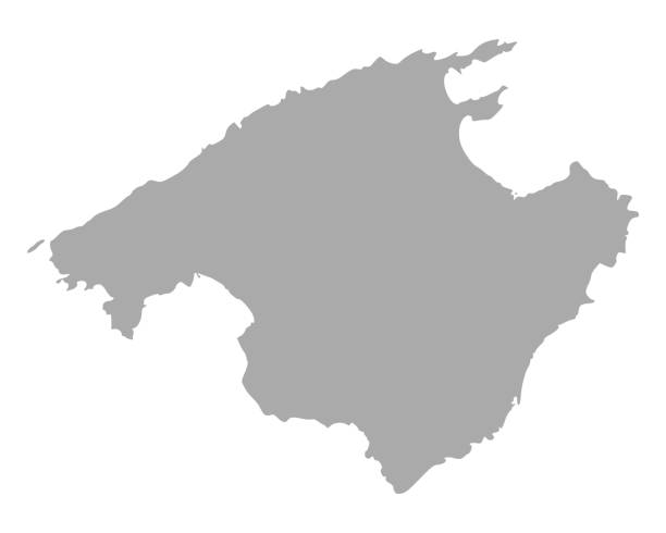
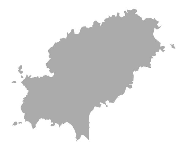
grey map of Balearic Islands
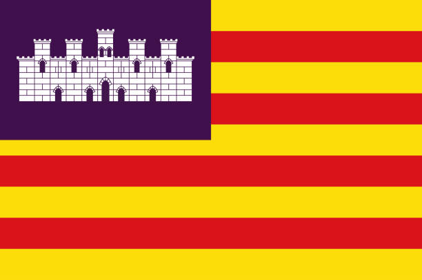
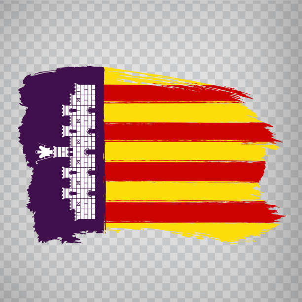
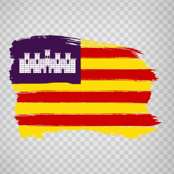
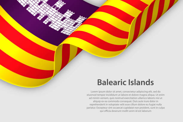
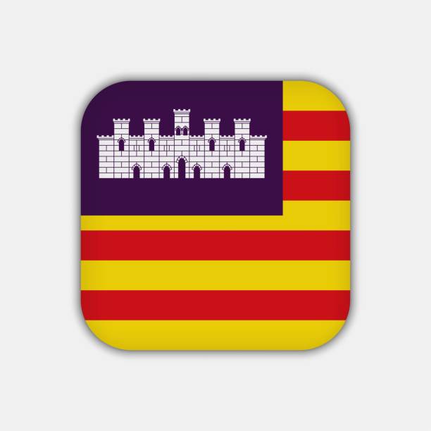
Flag of Balearic Islands are a Spanish archipelago in the Balearic Sea, near the eastern coast of the Iberian Peninsula. Vector illustration
Balearic Islands (Kingdom of Spain, Autonomous community) map vector illustration, scribble sketch Mallorca, Menorca, Ibiza and Formentera map
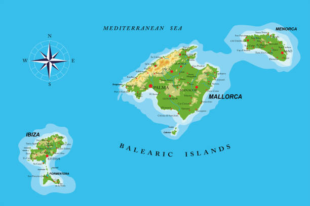
Highly detailed physical map of the Balearic islands ,in vector format,with all the relief forms,regions and big cities.
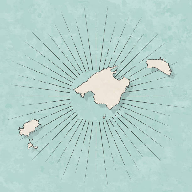
Map of Balearic Islands in a trendy vintage style. Beautiful retro illustration with old textured paper and light rays in the background (colors used: blue, green, beige and black for the outline). Vector Illustration (EPS10, well layered and grouped). Easy to edit, manipulate, resize or colorize.
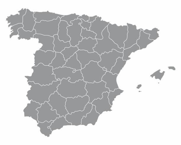
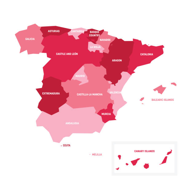
Spain regions map isolated on white background
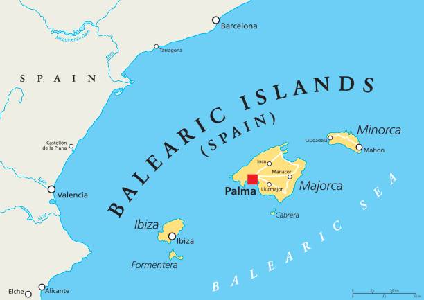
Balearic Islands political map with capital Palma. Archipelago of Spain in Mediterranean Sea near coast of Iberian Peninsula. Majorca, Minorca, Ibiza, Formentera. llustration. English labeling. Vector
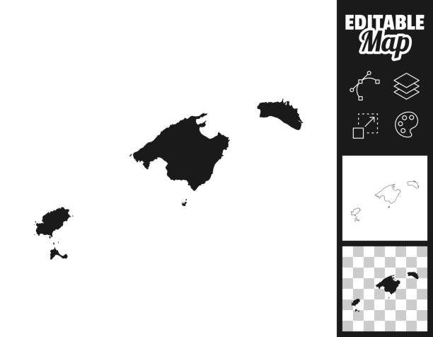
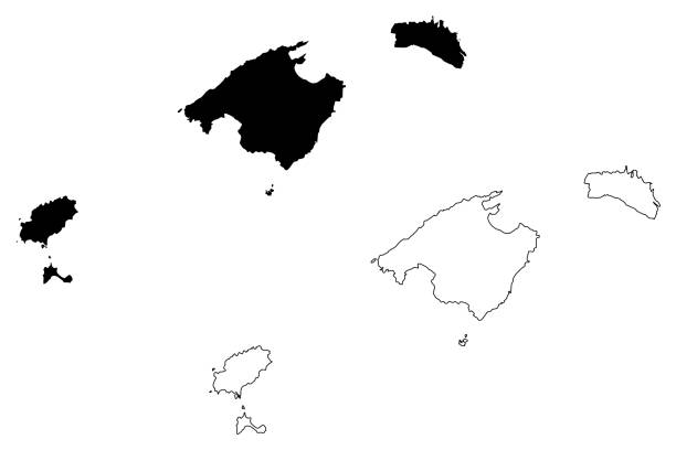
Map of Balearic Islands for your own design. Three maps with editable stroke included in the bundle: - One black map on a white background. - One line map with only a thin black outline in a line art style (you can adjust the stroke weight as you want). - One map on a blank transparent background (for change background or texture). The layers are named to facilitate your customization. Vector Illustration (EPS file, well layered and grouped). Easy to edit, manipulate, resize or colorize. Vector and Jpeg file of different sizes.
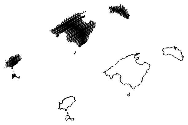
Balearic Islands (Kingdom of Spain, Autonomous community) map vector illustration, scribble sketch Mallorca, Menorca, Ibiza and Formentera map
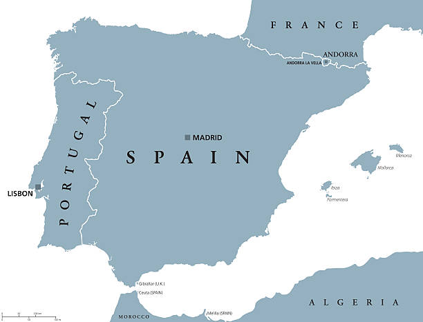
Portugal and Spain political map with capitals Lisbon and Madrid, Balearic Islands and national borders. Gray illustration of Iberian Peninsula with English labeling and scaling on white background.

Map of Balearic Islands with a realistic paper cut effect isolated on white background. Vector Illustration (EPS10, well layered and grouped). Easy to edit, manipulate, resize or colorize.
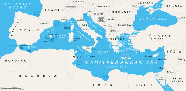
The Mediterranean Sea subdivisions, political map with straits, countries and the Black Sea. Connected to the Atlantic Ocean, surrounded by the Mediterranean Basin, almost completely enclosed by land.

High Quality map of Balearic Islands is a state of Spain, with borders of the districts
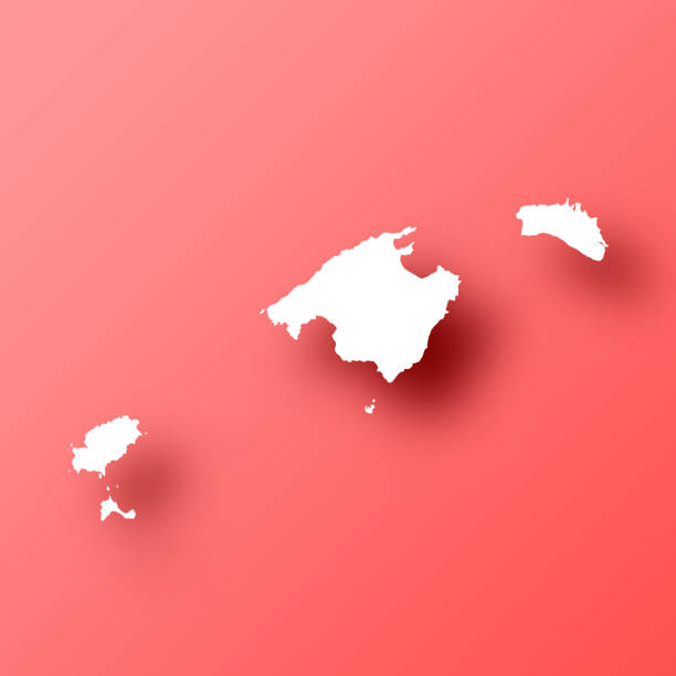
White map of Balearic Islands isolated on a trendy color, a bright red background and with a dropshadow. Vector Illustration (EPS file, well layered and grouped). Easy to edit, manipulate, resize or colorize. Vector and Jpeg file of different sizes.
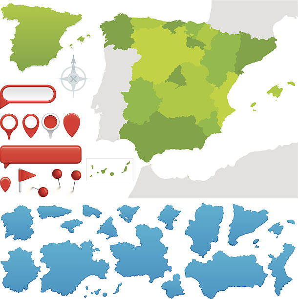
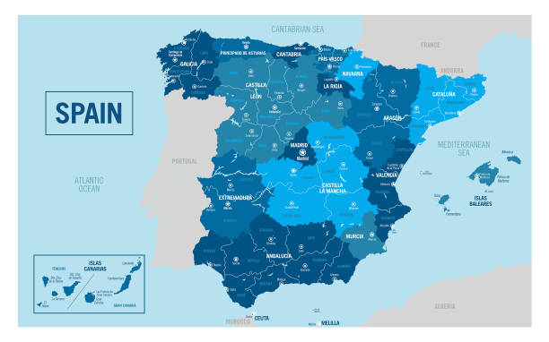
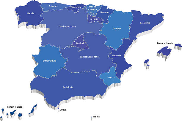
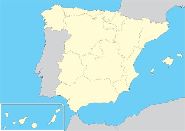
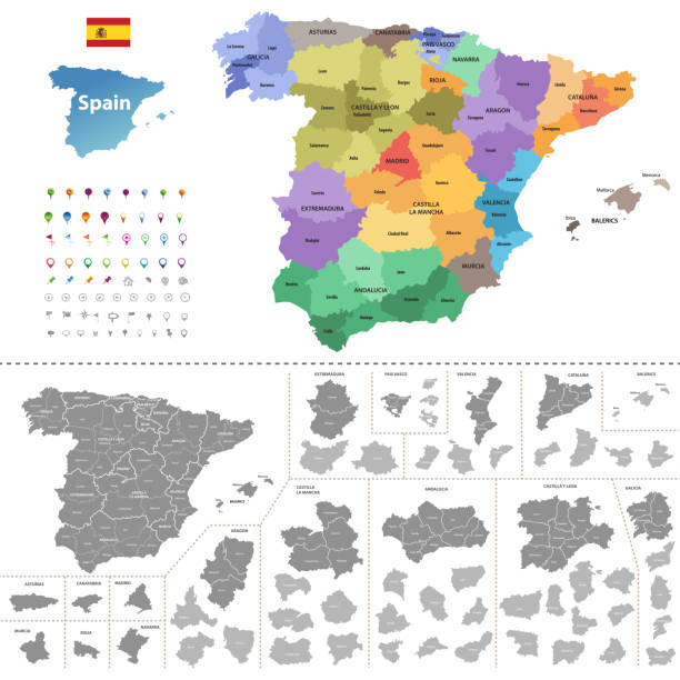
Map of the 17 Autonomous communities of Spain. All on labelled layers.
Bay with turquoise sea, coves, sand, cliffs and vegetation.
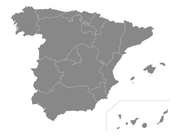
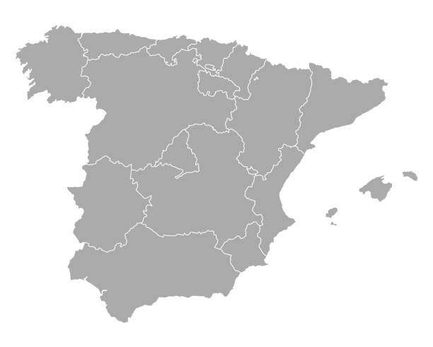
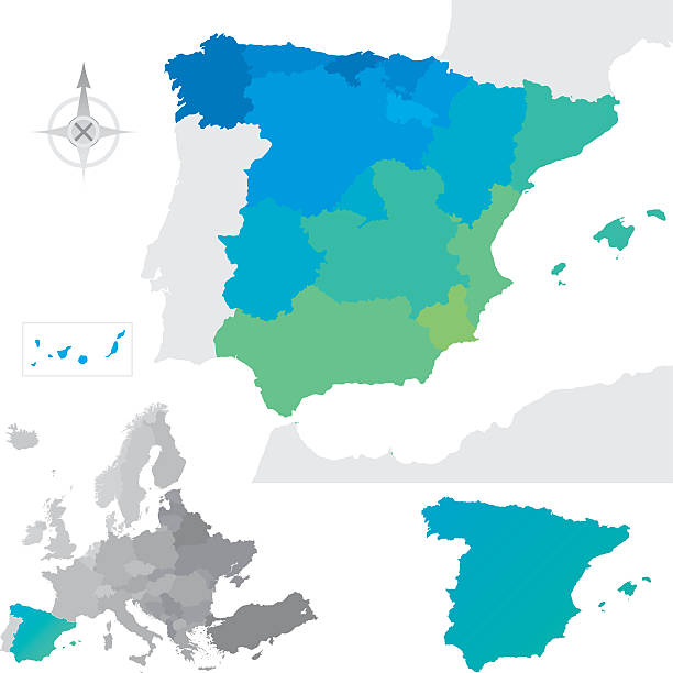
Gray Map of Spanish Autonomous Communities
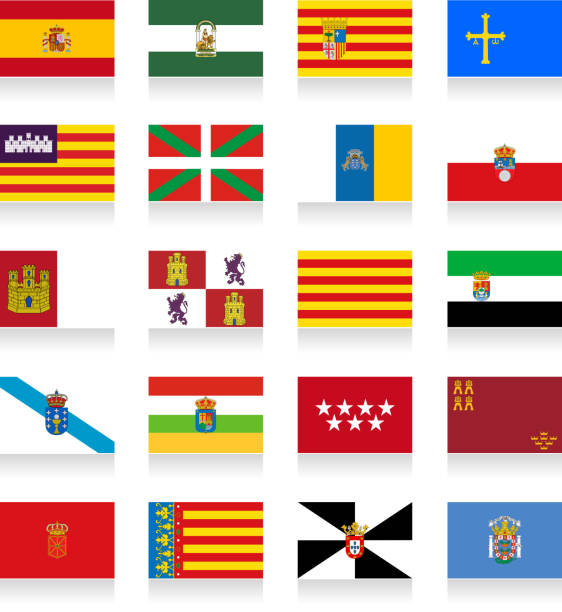
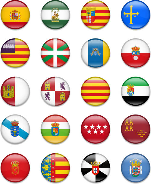
Spain Autonomous Communities Flag Collection, contains: From left to right: 1. Spain, Andalusia, Aragon, Asturias 2. Baleric Islands, Basque, Canary Islands, Cantabria 3. Castille-La Mancha, Castile and Leon, Catalonia, Extremadura 4. Galicia, La Rioja, Madrid, Murcia 5. Navarre, Valencia, Ceuta, Melilla Eps8 file.
Vector map of Spain with their autonomous communities. This map was traced using as reference NASA public domain Hi-res pictures from http://visibleearth.nasa.gov/view.php?id=74092 and treated in Illustrator and specialized GIS software (Qgis, mapublisher, global mapper...) on sept-10-2010. Illustration has one layer
Map of Spain - Vector illustration
Provinces and communities of Spain. Global colours are easily changed.
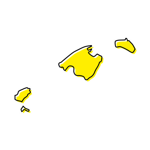
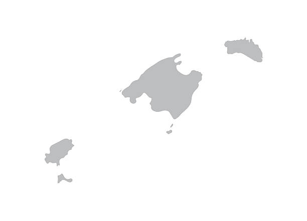
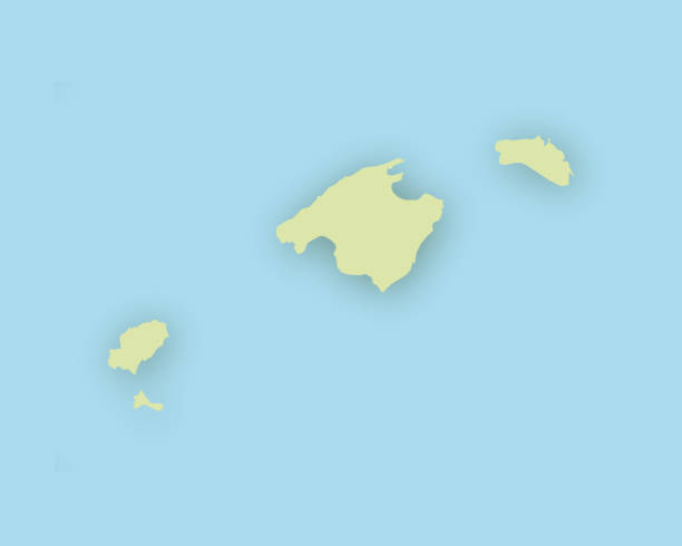
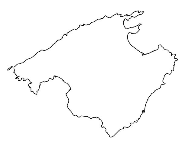
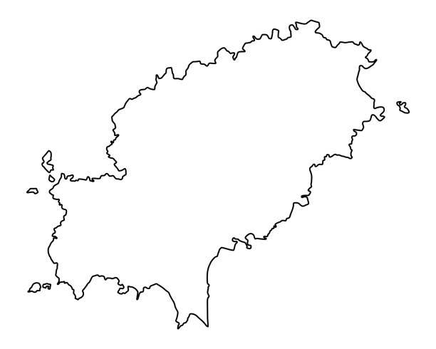
Simple outline map of Balearic Islands is a region of Spain. Stylized minimal line design
Cartoon palm tree. Jungle palm trees with green leaves, coconut beach palms isolated vector set

Canary Islands map vector illustration, scribble sketch Canary Islands

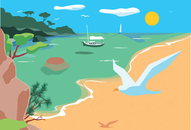
stylized vector illustration showing the typical landscape of Majorca, Balearic isalnds, Spain
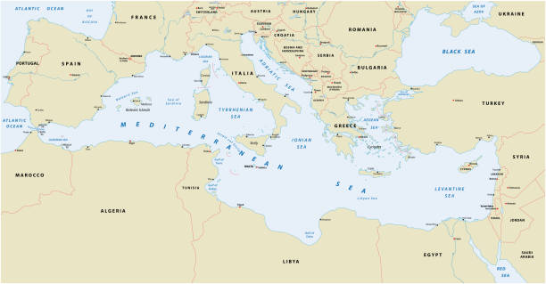
Mediterranean sea vector map

Set Flags of the communities of Spain, All Spanish regions flag collection

Pool party abstract concept vector illustration. Dance swim drink, entertaining outdoor activities, party in swimming pool, flamingo inflatable circle, girls in bikini, vacation abstract metaphor.
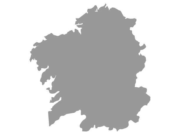
Vector Illustration of the Grey Map of the Spanish Autonomous Community of Galicia
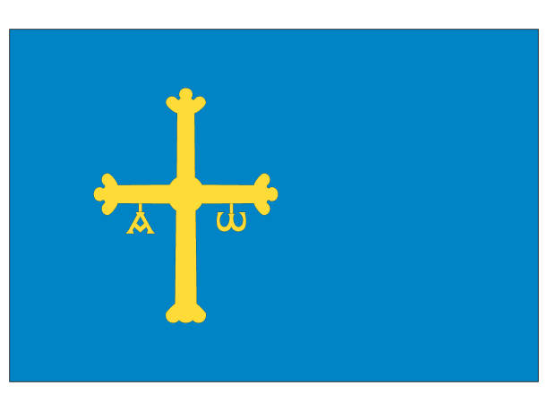
Vector Illustration of the Flag of the Spanish Autonomous Community of Principality of Asturias
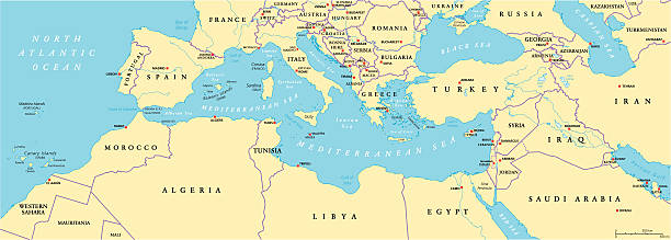
Mediterranean Basin Political Map. South Europe, North Africa and Near East with capitals, national borders, rivers and lakes. English labeling and scaling. Illustration.
"Detailed vector map of Spain with administrative divisions. File was created on November 26, 2012. The colors in the .eps-file are ready for print (CMYK). Included files: EPS (v8) and Hi-Res JPG (5600aa aaa 4711 px)."
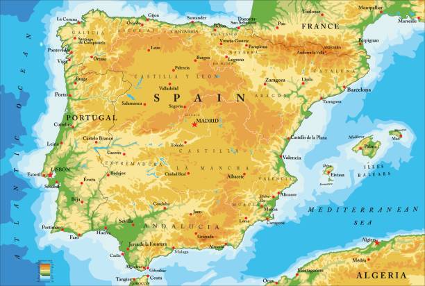
Highly detailed physical map of Spain in vector

Woman with sunglasses, sitting on a rock on the shore of a bay in the Mediterranean Sea. Scene with vintage touches, of tranquility and calm. Holidays by the sea.

rural mediterranean vector landscape with plowed fields, cypresses and pine tree
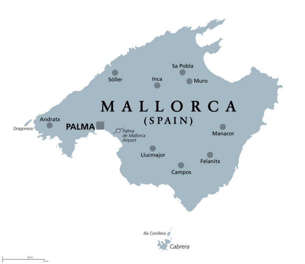
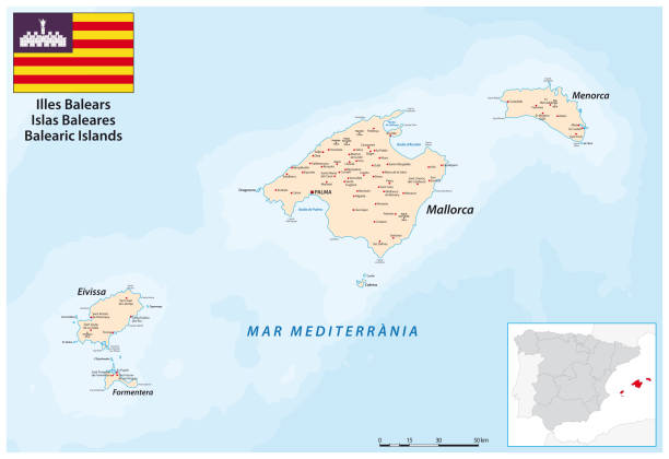
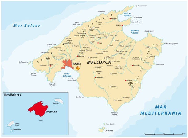
Mallorca, gray political map, with capital Palma and important towns. Majorca, largest Island of the autonomous community of the Balearic Islands, part of Spain, located in Mediterranean Sea. Vector.
3d ribbon with flag Balearic Islands. Spanish autonomus community. isolated on white background with copyspace
Pink political map of Spain. Administrative divisions - autonomous communities. Simple flat vector map with labels.
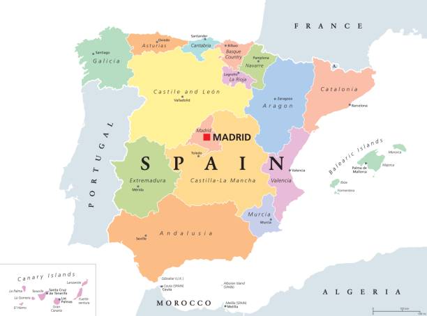
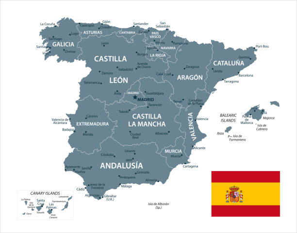
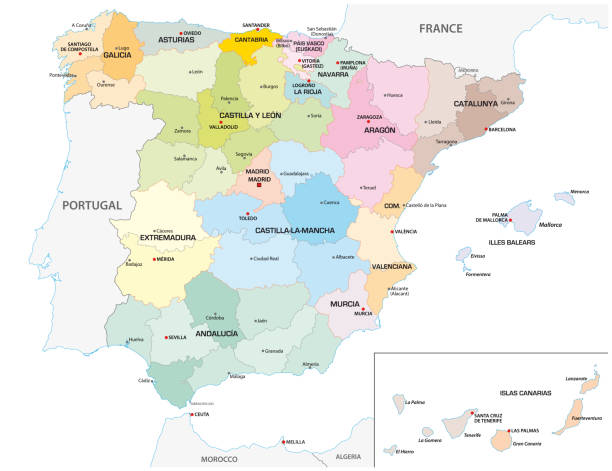
Autonomous communities of Spain political map. Administrative divisions of the Kingdom of Spain with their capitals. Municipalities, provinces and subdivisions. English labeling. Illustration. Vector.
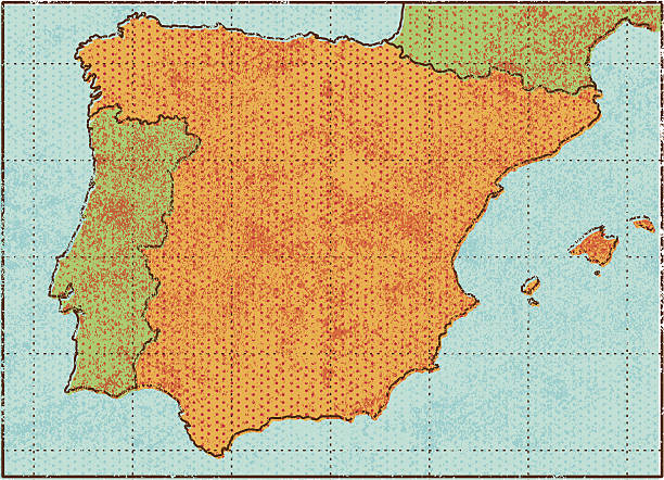
A map of Spain, and parts of Portugal and France, in a retro grunge style, with out of register printing look and halftone dots. 8 layers make editing easy.
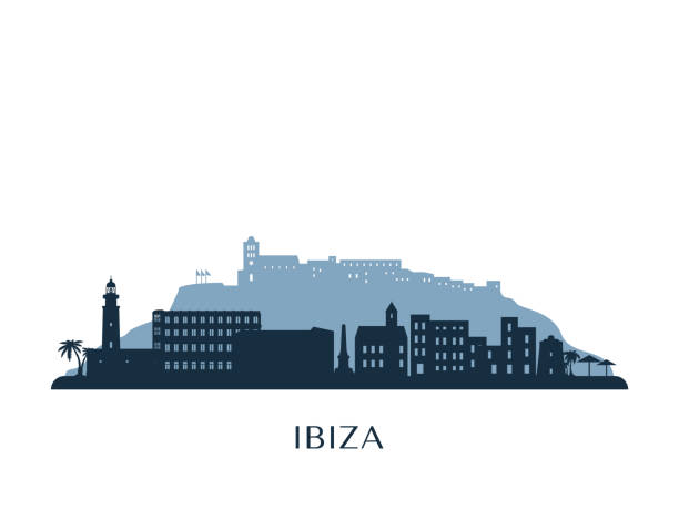
vector outlines icons of United States cities skylines
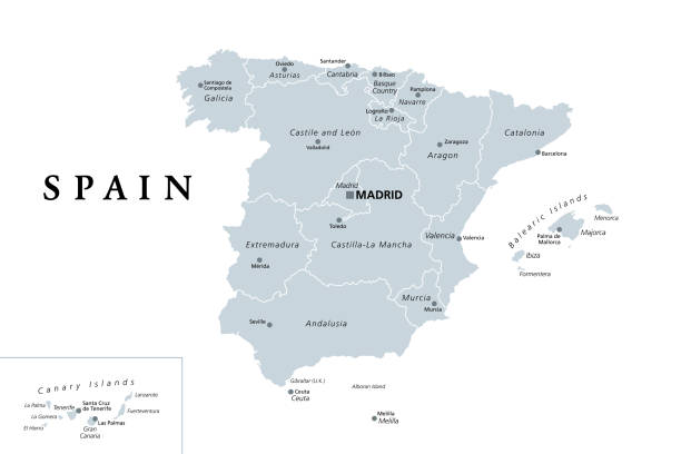
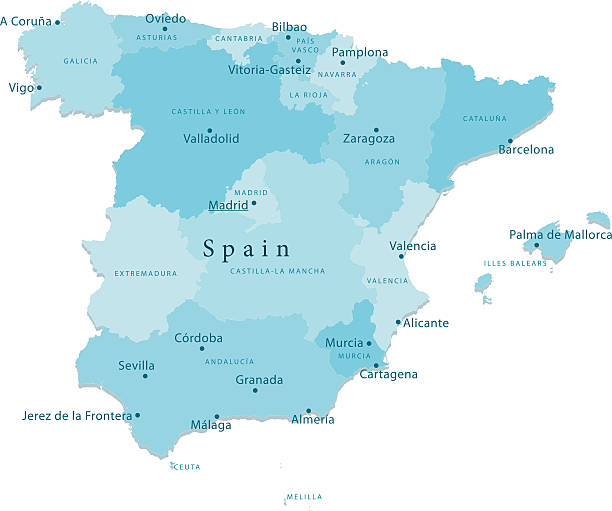
Spain, gray political map with administrative divisions. Kingdom of Spain with the capital Madrid, the autonomous communities, borders and capitals. English labeling. Illustration over white. Vector.