Greater Antilles Pictures, Images and Stock Photos
Browse 280,200+ greater antilles stock photos and images available, or start a new search to explore more stock photos and images.
Most popular
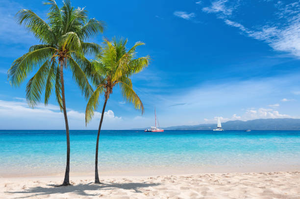
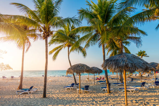
Sunny tropical white sand beach with coco palms and the turquoise sea on Jamaica Caribbean island.

Lesser Antilles political map. The Caribbees with Haiti, the Dominican Republic and Puerto Rico in the Caribbean Sea. With capitals and national borders. English labeling. Illustration. Vector.
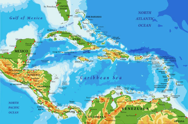
Highly detailed physical map of Central America and Caribbean Islands,in vector format,with all the relief forms,regions and big cities.
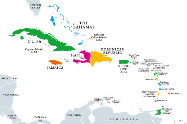
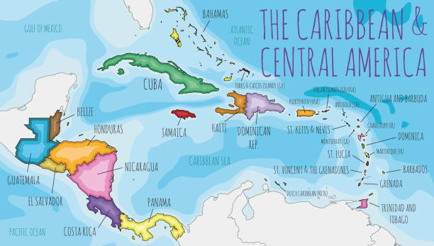
The Caribbean, colored political map. Subregion of the Americas in the Caribbean Sea with its islands and English names. The Greater Antilles and the Lesser Antilles. Isolated illustration over white.
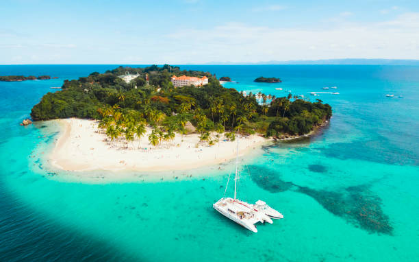
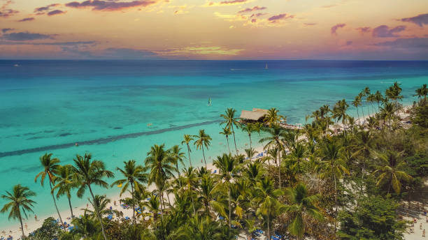
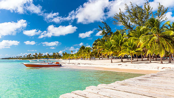
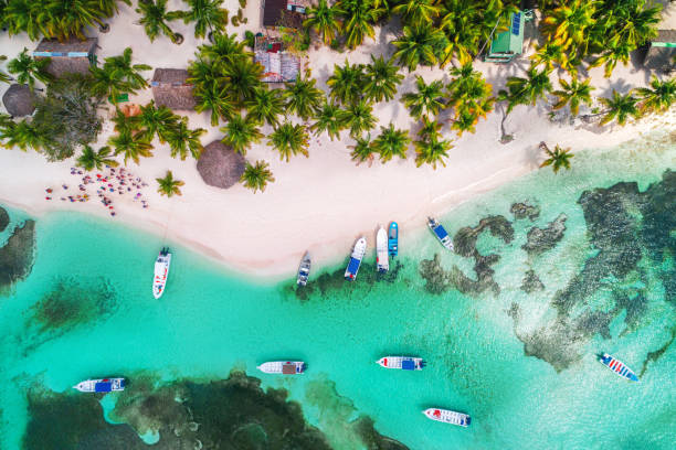
Aerial drone view of beautiful caribbean tropical island Cayo Levantado beach with palms and boat. Bacardi Island, Dominican Republic. Vacation background
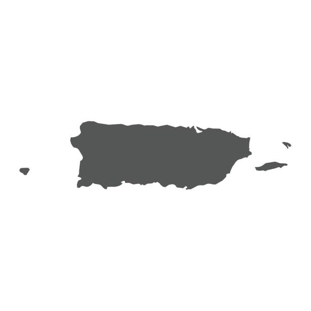
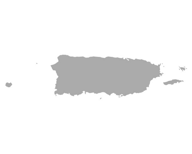
Puerto Rico vector map. Black icon on white background.
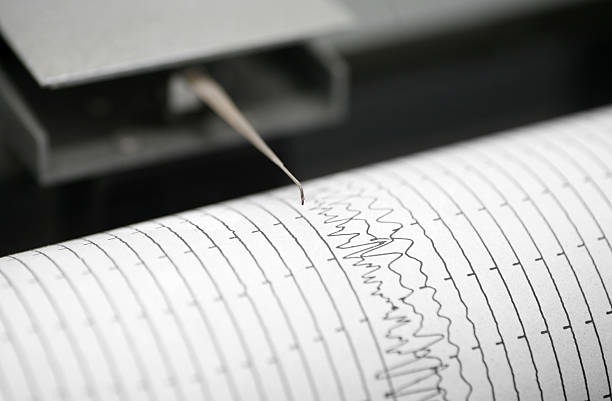
Cropped detail shot of seismometer printing line
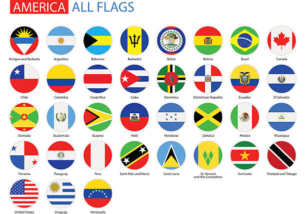
Vector Set of American Flag Icons:
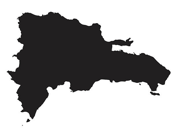
black vector map of Dominican Republic

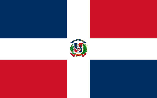
Dominican Republic flag with official colors and the aspect ratio of 2:3. Flat vector illustration.

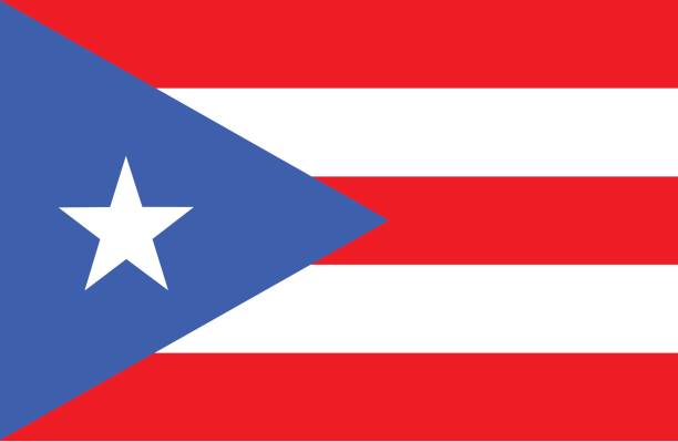
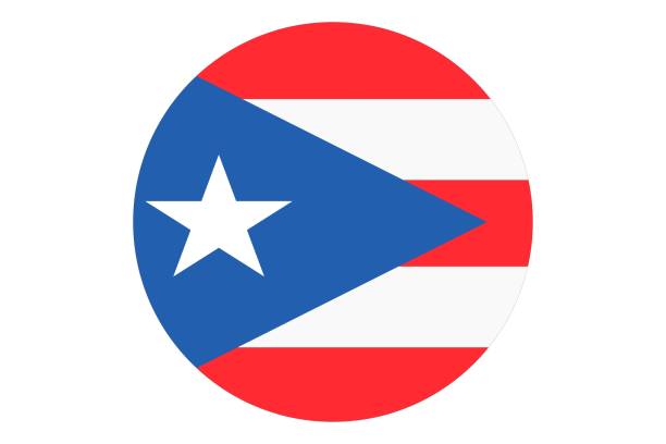
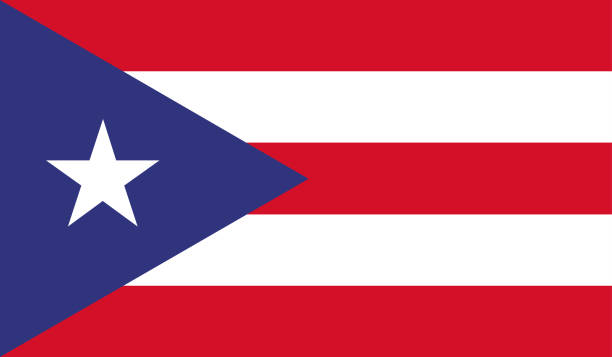
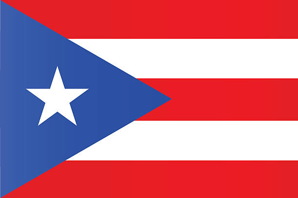
Vector of nice Puerto Rican flag.

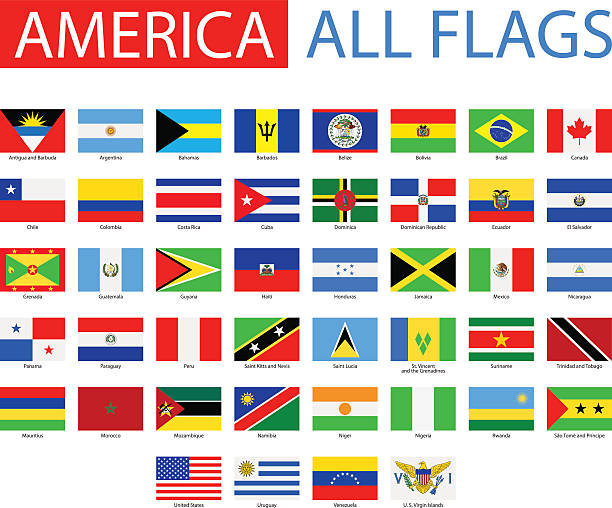
Vector Set of Flat American Flags
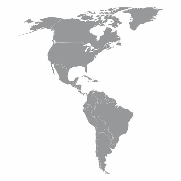
Illustration of a gray North and South America map
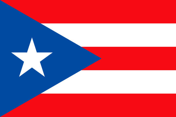
The flag of the Commonwealth of Puerto Rico. Drawn in the correct aspect ratio. File is built in the CMYK color space for optimal printing, and can easily be converted to RGB without any color shifts.
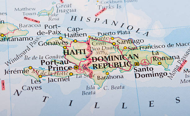
Haiti and Dominican Republic map on the World's Atlas
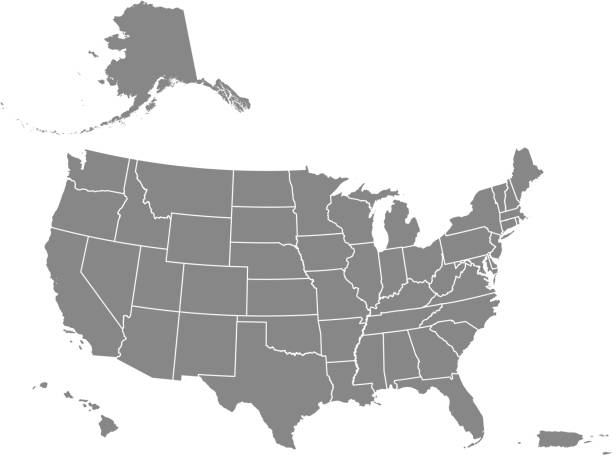
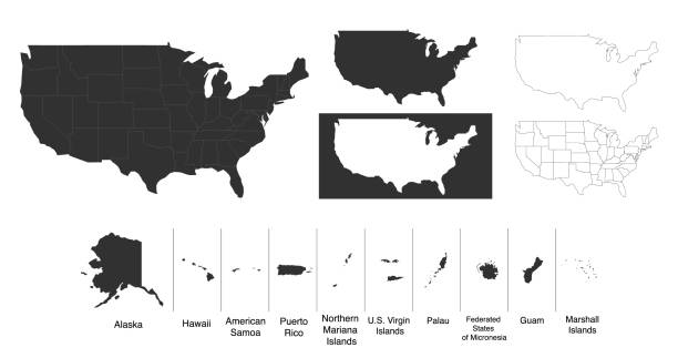
Downloadable map of United States of America. The spatial locations of Hawaii, Alaska and Puerto Rico approximately represent their actual locations on the earth.
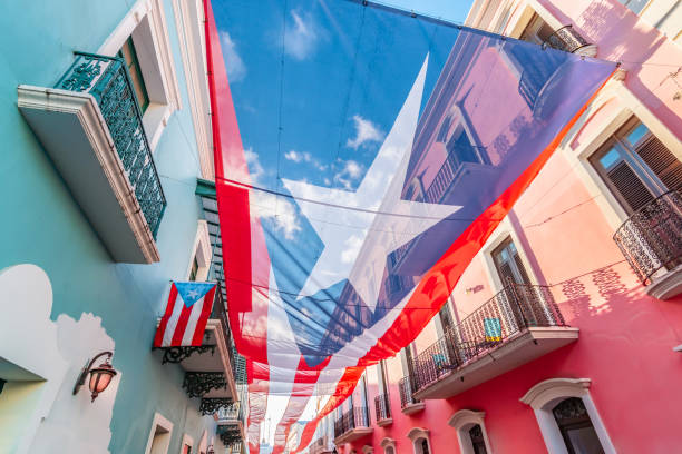
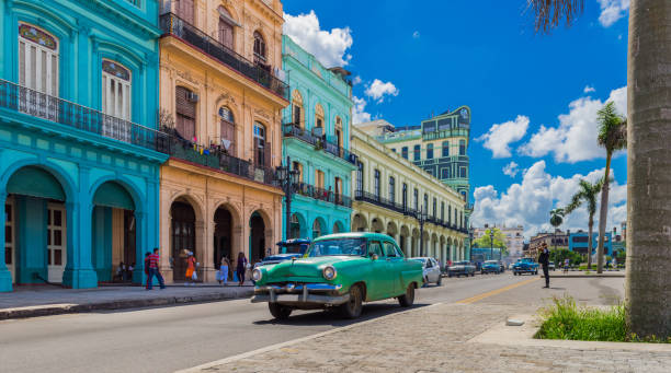
Colorful image of city centre of San Juan with large Puerto Rican flag above the street. Blue and pink buildings in the street. Sunny day. Red and white stripes, white star and blue colored national flag of Puerto Rico.

Flag of Jamaica blowing in the wind. Full page Jamaican flying flag. 3D illustration.
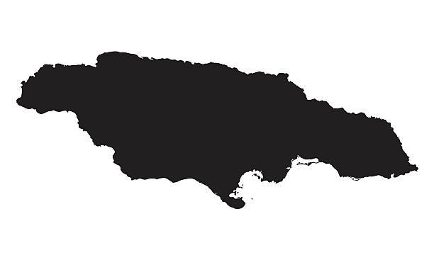
black vector map of Jamaica
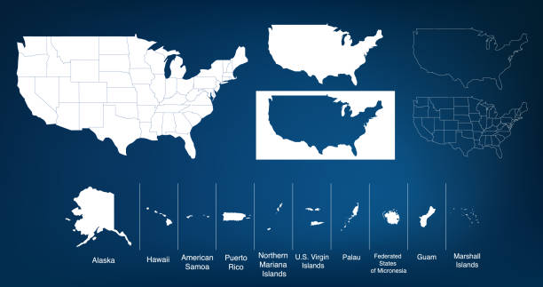
Vector Map Of The United States. Includes Hawaii, Alaska, Puerto Rico and The Virgin Islands. The states are divided so you can outline or color each differently if you wish but the actual dividing lines are on the top layer in case you wish to color these as well.

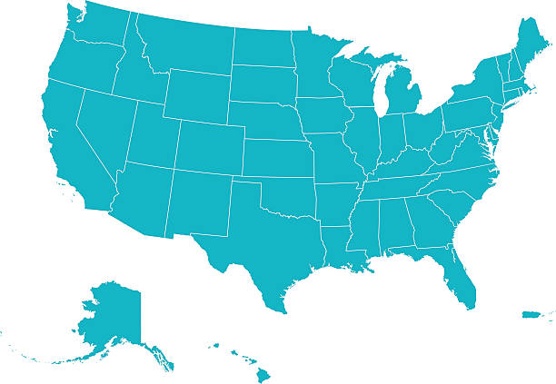
Map of The United States of America USA with States Name in Blue Color Illustration on White Background
Cuban beach with sun lounger and palms, Varadero, Cuba

American Flags Full Collection

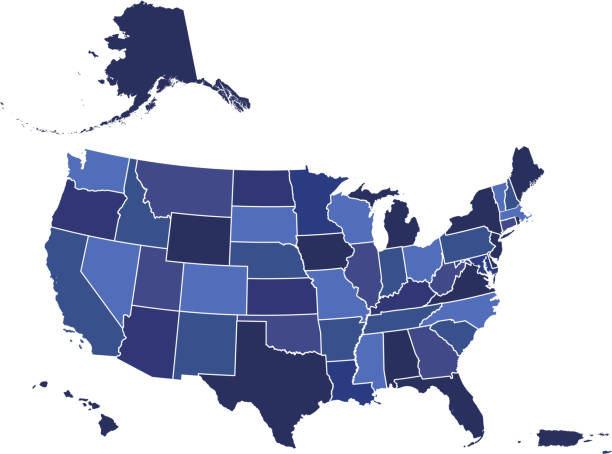
Downloadable blue color gradient map of United States of America. The spatial locations of Hawaii, Alaska and Puerto Rico approximately represent their actual locations on the earth.
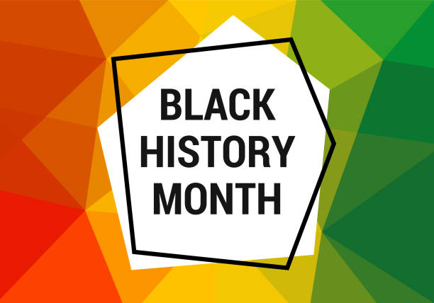
Black history month celebration vector banner. African-American History Month illustration for social media, card, poster. Art with low poly abctract modern African colors.
Flag Jamaica flat icon. State insignia of the nation in flat style on the entire page. National symbol in the form of a vector illustration
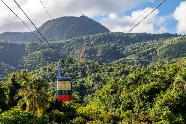
Puerto Plata, officially known as San Felipe de Puerto Plata, is the ninth-largest city in the Dominican Republic. The Teleferico cable car was inaugurated in 1975 and offers the visitor a panoramic view of the city descending from the hill (779 m above sea level).
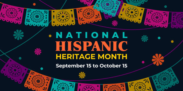
Hispanic heritage month. Vector web banner, poster, card for social media, networks. Greeting with national Hispanic heritage month text, Papel Picado pattern, perforated paper on black background

United States Flag Capitol State Building during Covid19 2020 novel coronavirus Pandemic, 3d virus medical model, Washington DC, USA
Highly Detailed Flag Of Puerto Rico - Puerto Rico Flag High Detail - National flag Puerto Rico - Vector Puerto Rico flag, Puerto Rico flag illustration, National flag of Puerto Rico, Vector of Puerto Rico flag. EPS, Vector, Puerto Rico, San Juan


Annona muricata, soursop3 among many other names, is a tree of the Annonaceae family, cultivated in many tropical countries for its edible fruits. The guánabana is a fruit
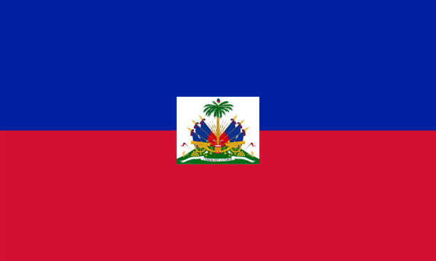
Haiti National Flag Vector Illustration as EPS.
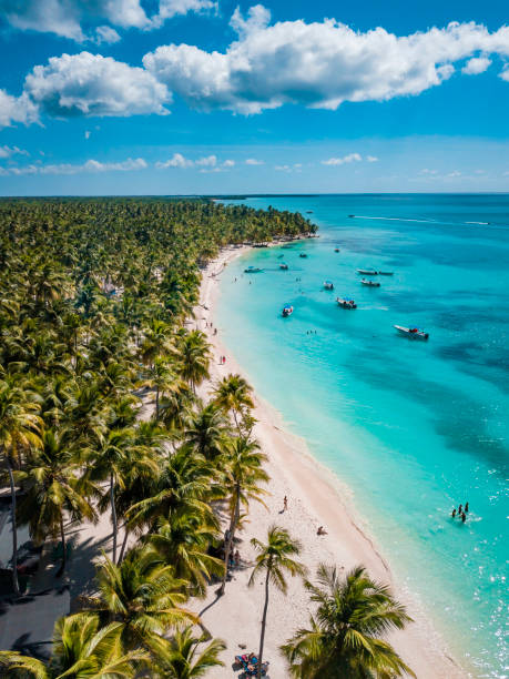
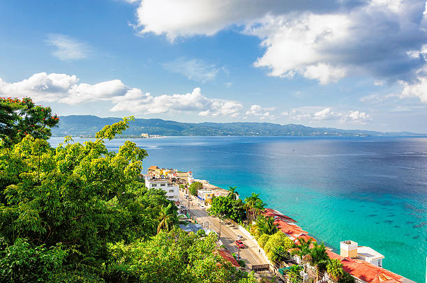
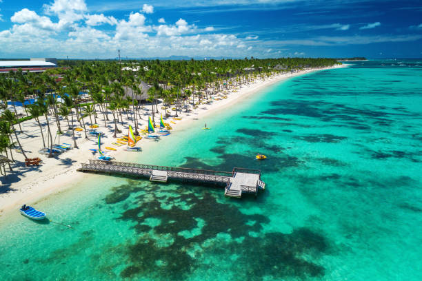
Beautiful caribbean beach on Saona island, Dominican Republic

Handcuffed hands of a prisoner behind the bars of a prison with orange clothes - Crispy desaturated dramatic filtered look
EPS 10 and JPEG
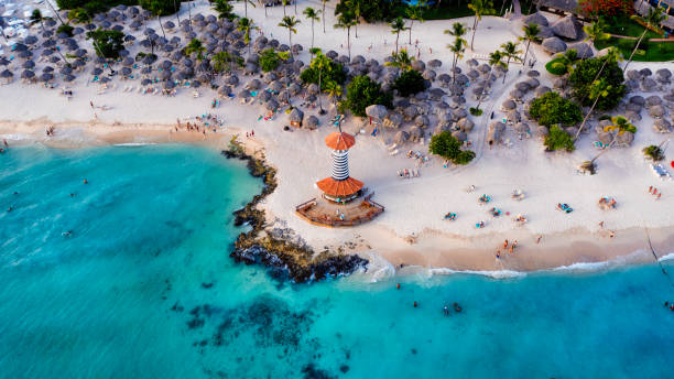
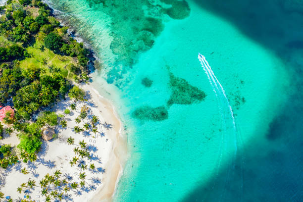
Dominican Republic Bayahibe beach Lighthouse aerial photo by drone. Crystal clear sea with beautiful beach. - Image, Wallpaper
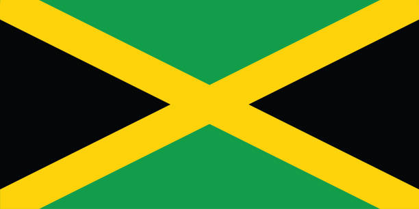
National jamaica flag, official colors and proportion correctly. National Njamaica flag. Vector illustration. EPS10. jamaica flag vector icon, simple, flat design for web or mobile app
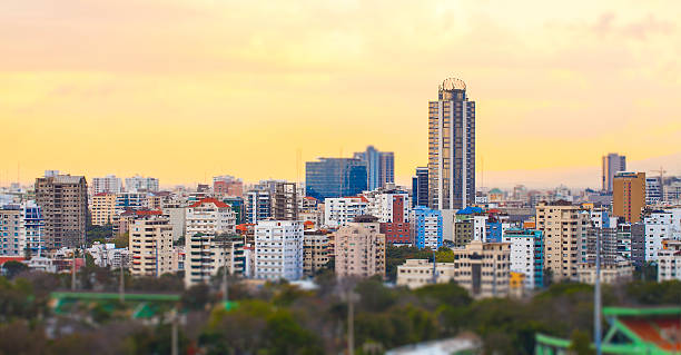
Skyline of the city of Santo Domingo, Dominican Republic with a tilt-shift effect
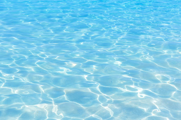
Shining blue water ripple background. Surface of water in swimming pool.