Persian Gulf Countries stock illustrations
Browse 76,600+ persian gulf countries stock illustrations and vector graphics available royalty-free, or search for united arab emirates or saudi arabia to find more great stock images and vector art.
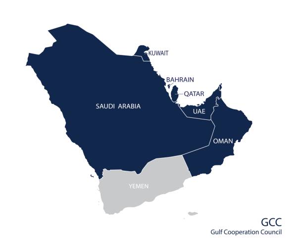
Map of the Gulf Cooperation Council (GCC)'s members. Vector
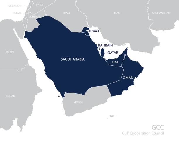
Map of the Gulf Cooperation Council (GCC)'s members. Vector
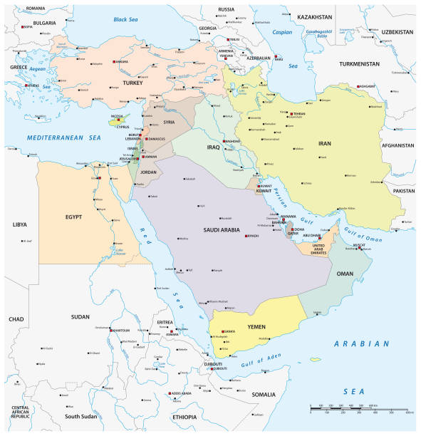
Persian Gulf region countries political map. Capitals, borders, cities and rivers. Iran, Iraq, Kuwait, Qatar, Bahrain, United Arab Emirates, Saudi Arabia, Oman. Illustration. English labeling. Vector.
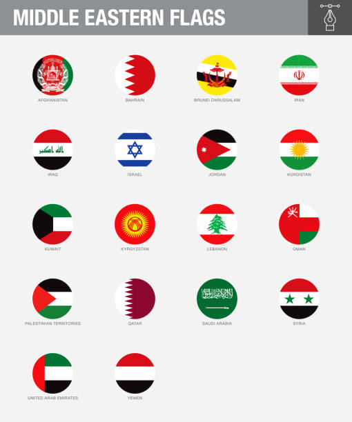
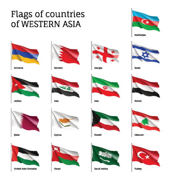
A set of Middle Eastern country flags. Drawn in the correct aspect ratio. File is built in the CMYK color space for optimal printing, and can easily be converted to RGB without any color shifts.
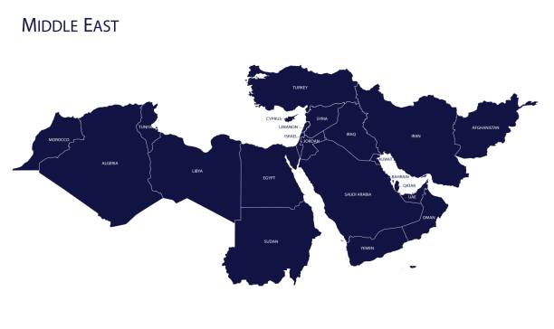
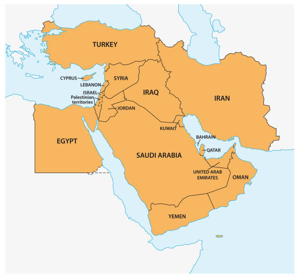
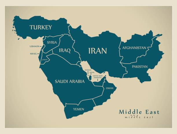
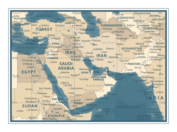
Map of Middle East. Vector
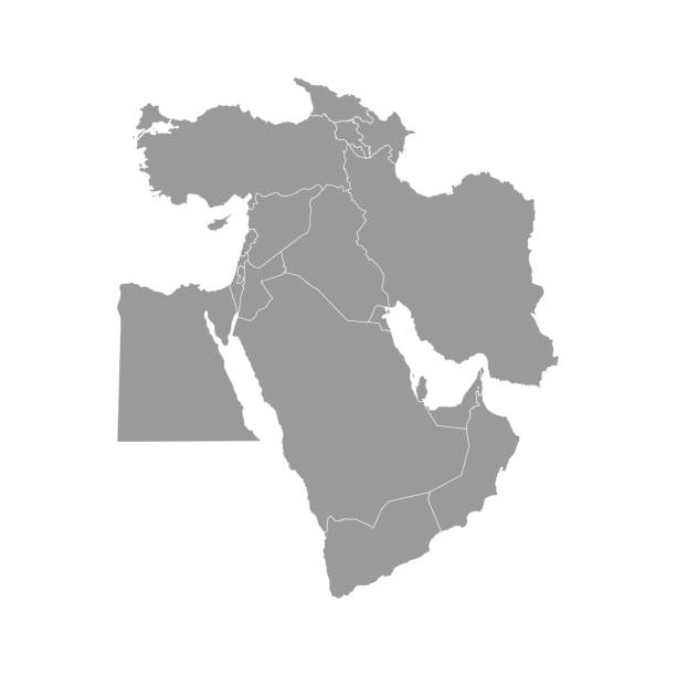
Vector illustration with simplified map of Asian countries. Middle East. States borders of Turkey, Georgia, Armenia, United Arab Emirates, Saudi Arabia, Qatar, Oman, Iran, Israel. Grey silhouette
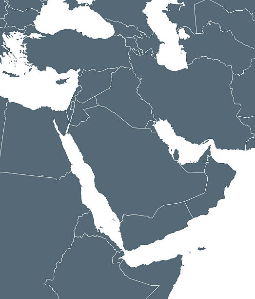
Empty Dark Gray Map of Middle East Asia - illustration

Circle shape of Gulf countries and nearby countries map. Vector illustration.Circle shape of Gulf countries and nearby countries map. Vector illustration.
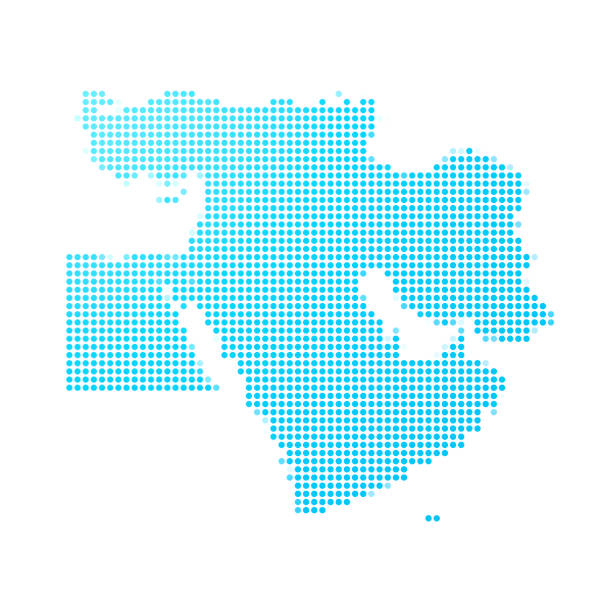
Map of Middle East made with round blue dots on a blank background. Original mosaic illustration. Vector Illustration (EPS10, well layered and grouped). Easy to edit, manipulate, resize or colorize. Please do not hesitate to contact me if you have any questions, or need to customise the illustration. http://www.istockphoto.com/portfolio/bgblue
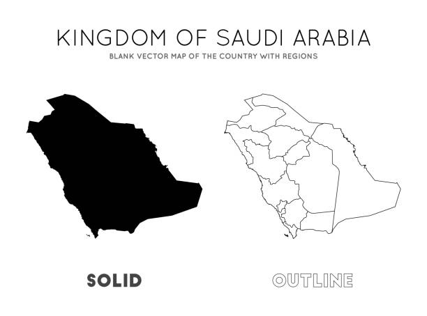
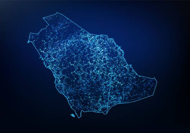
Saudi Arabia map. Blank vector map of the Country with regions. Borders of Saudi Arabia for your infographic. Vector illustration.
West Asia Region. Map of countries in western Asia or Middle East. Vector illustration.
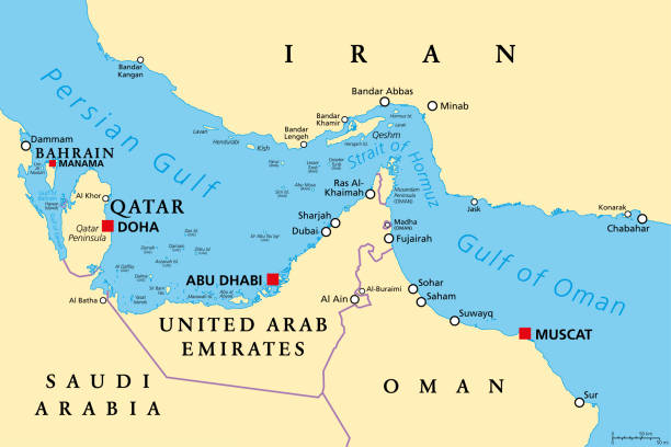
Strait of Hormuz, political map. Waterway between Persian Gulf and Gulf of Oman, a strategically extremely important choke point, with Iran to the north and UAE and Oman exclave Musandam to the south.
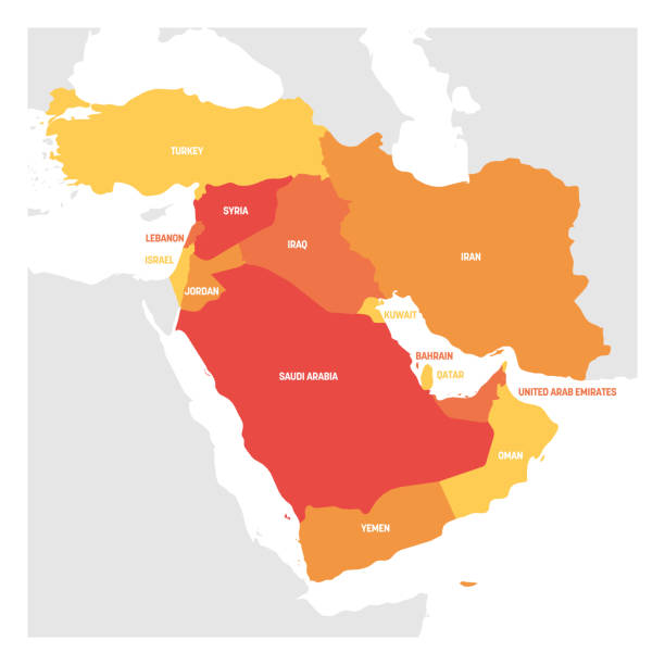
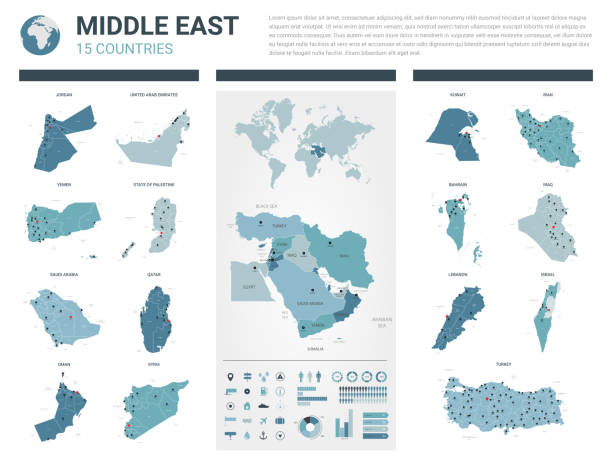
Map of Middle East. Member states are as follows;
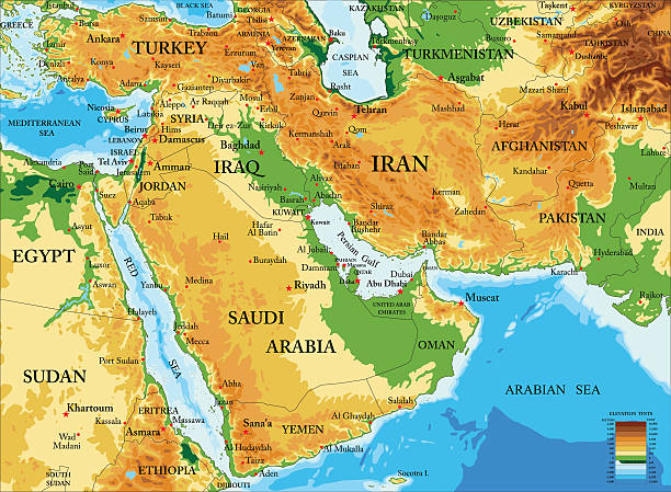
Highly detailed physical map of Middle East in vector format,with all countries, major cities and all the relief forms .
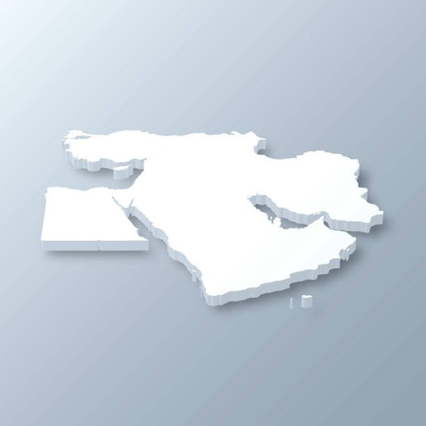
3D map of Middle East isolated on a blank and gray background, with a dropshadow. Vector Illustration (EPS10, well layered and grouped). Easy to edit, manipulate, resize or colorize.

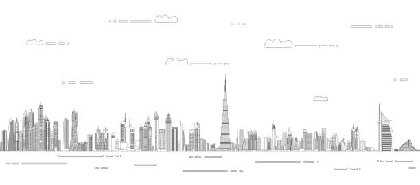
Dubai. All buildings are complete and moveable.

Vector maps of Middle East with variable specification and icons
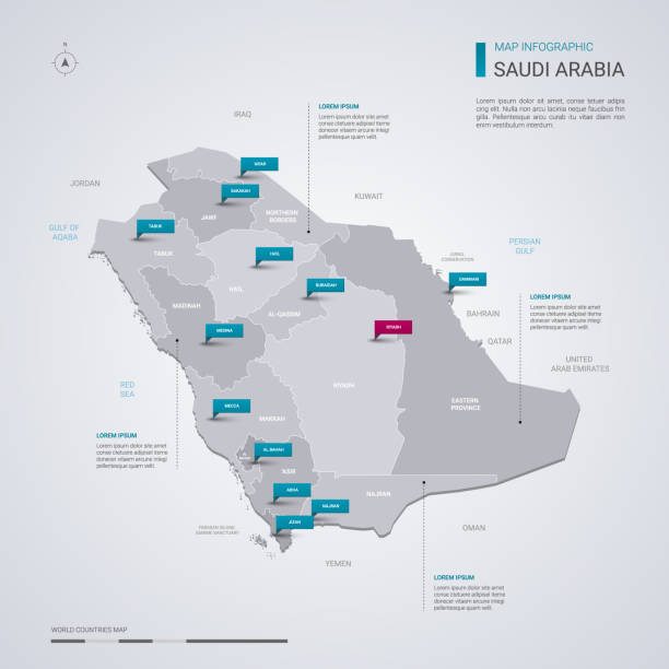
Saudi Arabia vector map with infographic elements, pointer marks. Editable template with regions, cities and capital Riyadh.
Vector illustration

Vector illustration of diverse cartoon islam people in office and casual outfits. Isolated on white.
Set of waving flags of Western Asian countries - Qatar, Lebanon, Kuwait and Saudi Arabia, Arab Emirates, Cyprus, Lebanese, Oman. 17 ensigns of Asia states. Vector isolated icons
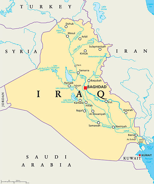
Iraq political map with capital Baghdad, national borders, important cities, rivers and lakes. Also called Mesopotamia, the land between Tigris and Euphrates. English labeling. Illustration.


World dot map with Saudi Arabia highlighted showing sphere of influence.
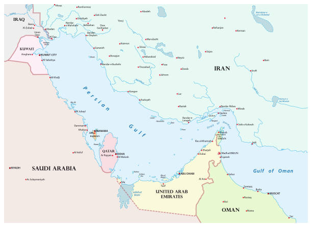
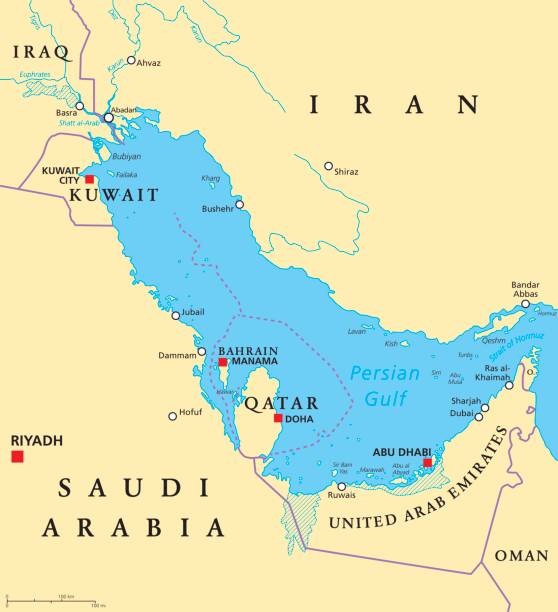
Vector map of the Persian Gulf and its neighboring countries

Dubai paper cut. UAE skyline city panorama with famous landmarks for postcards and poster. Vector Dubai cityscape - illustration arabic art architecture landmarks and travel memory
Middle East Map - Vintage Detailed Vector Illustration

United Arab Emirates skyline with panorama in sky background. Vector Illustration. Business travel and tourism concept with modern buildings. Image for banner or web site.

flags of Western Asia with an aspect ratio of 2:3 with country names
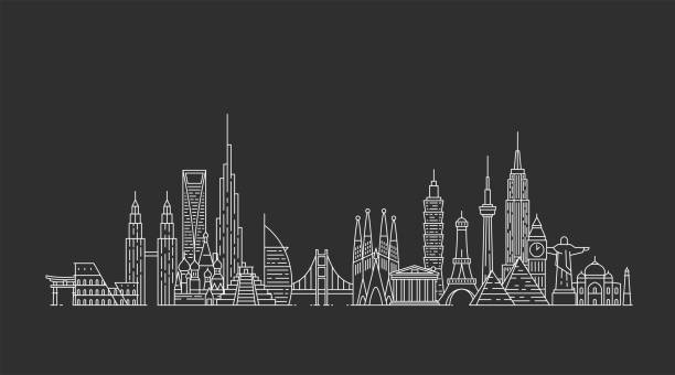
Travel and tourism background. Famous buildings and monuments.
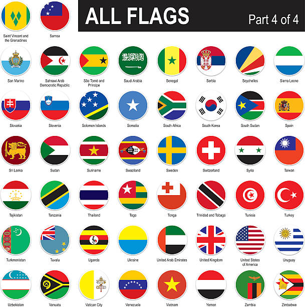
All round World Flags with country names (part4)
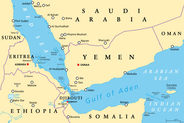
Gulf of Aden area, political map. Deepwater gulf between Yemen, Djibouti, the Guardafui Channel, Socotra and Somalia, connecting the Arabian Sea through the Bab-el-Mandeb strait with the Red Sea.


Vector Set of Flat Asian Flags
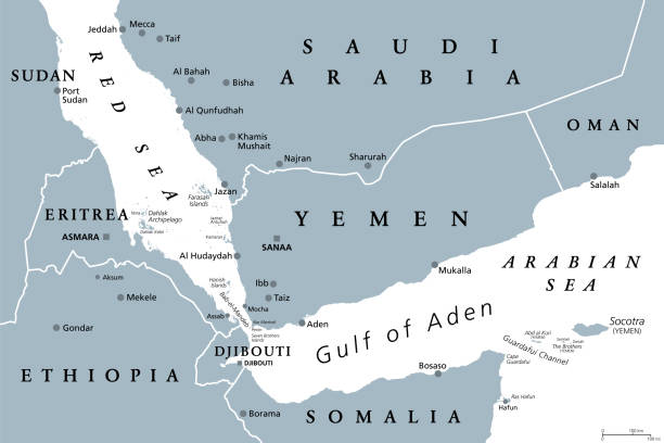
Gulf of Aden area, gray political map. Deepwater gulf between Yemen, Djibouti, the Guardafui Channel, Socotra and Somalia, connecting the Arabian Sea through the Bab-el-Mandeb strait with the Red Sea.

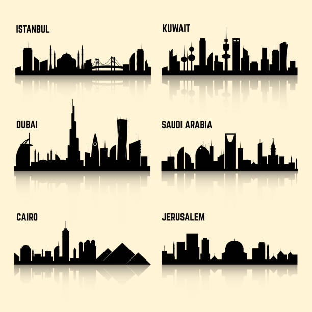
Middle East cities vector set. Jerusalem city, kuwait city, istanbul city, cairo city, saudi arabia and dubai city illustration

Realistic passport pages with visa stamps. Opened foreign passport with custom visa stamps. Travel concept to Asian and Australian countries. Vector

3d isometric map of Middle East region, isolated with shadow vector illustration

Trendy vector illustration, linear style

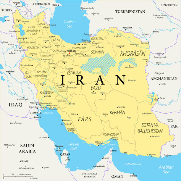
Map of Iran - Vector illustration
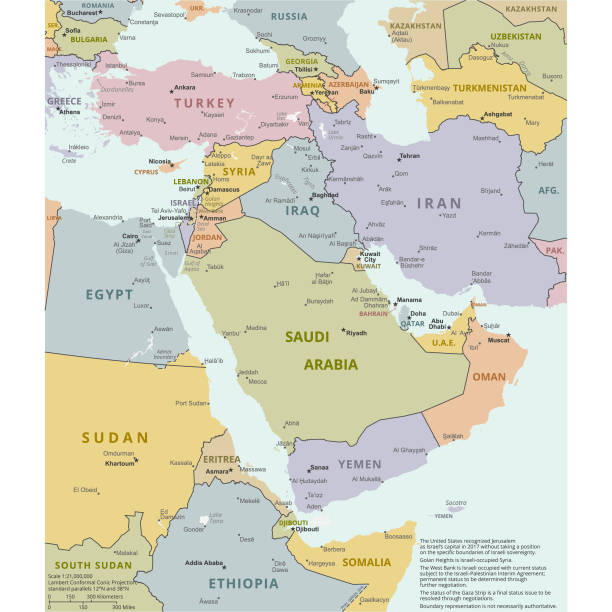
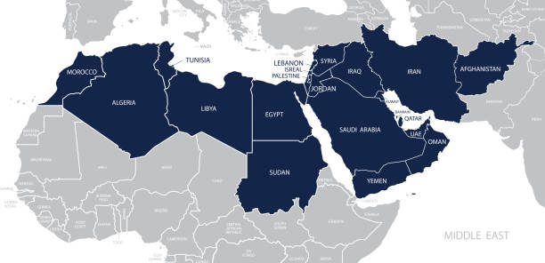
Vector illustration of the policital map of The Middle East Reference map was created by the US Central Intelligence Agency and is available as a public domain map at the University of Texas Libraries website. https://www.cia.gov/library/publications/resources/the-world-factbook/graphics/ref_maps/political/pdf/middle_east.pdf
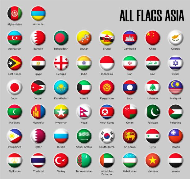
Set flags Asia on glossy sphere with shadow with names on a gray background

Vector illustration in HD very easy to make edits.
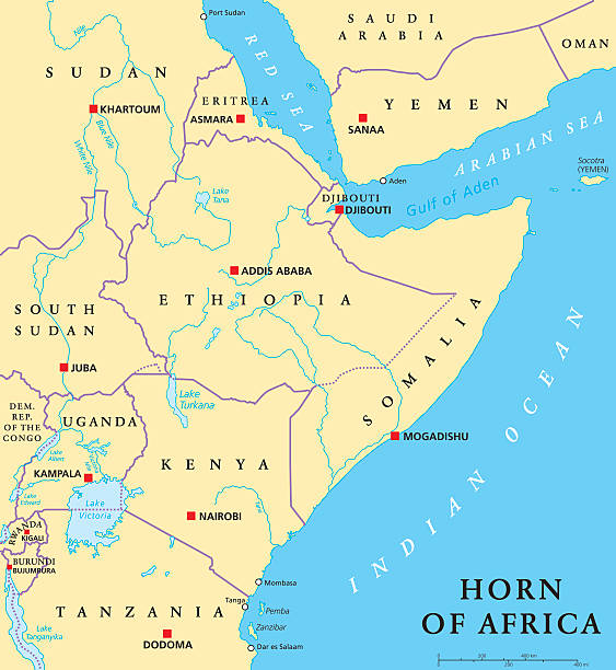
Horn of Africa peninsula political map with capitals, national borders, important cities, rivers and lakes. In ancient times called Land of the Berbers. English labeling and scaling. Illustration.


Kuwait City Skyline in Paper Cut Style with Snowflakes, Moon and Neon Garland. Vector Illustration. Christmas and New Year Concept. Santa Claus on Sleigh.
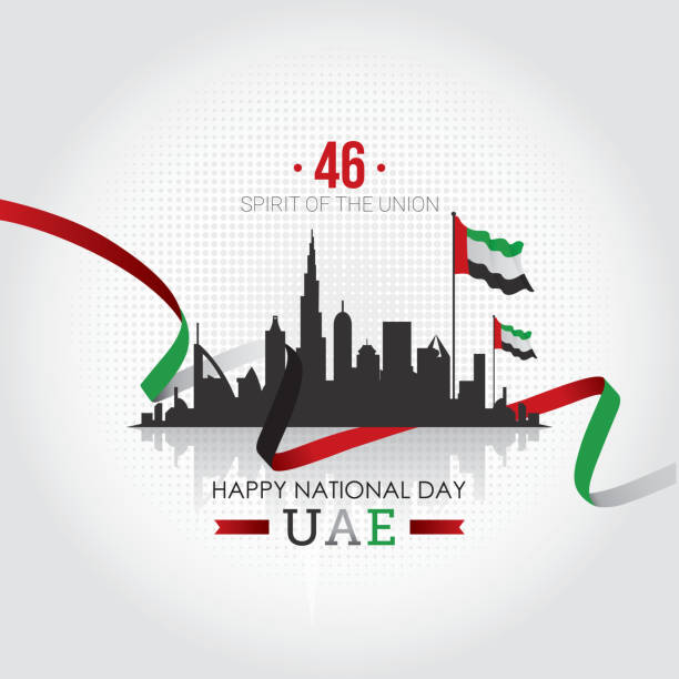
United Arab Emirates National Day vector illustration