Vintage Maps stock illustrations
Browse 82,300+ vintage maps stock illustrations and vector graphics available royalty-free, or search for old maps or antique maps to find more great stock images and vector art.
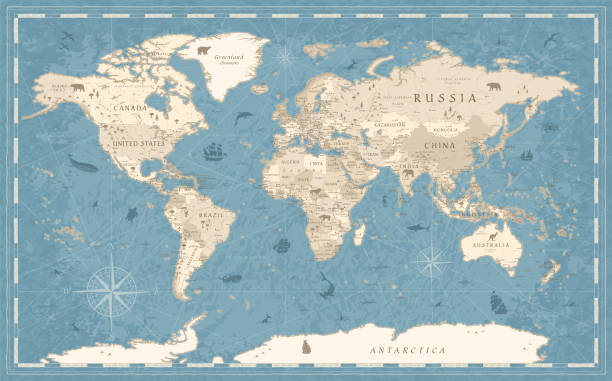
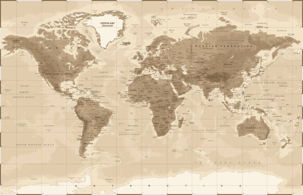
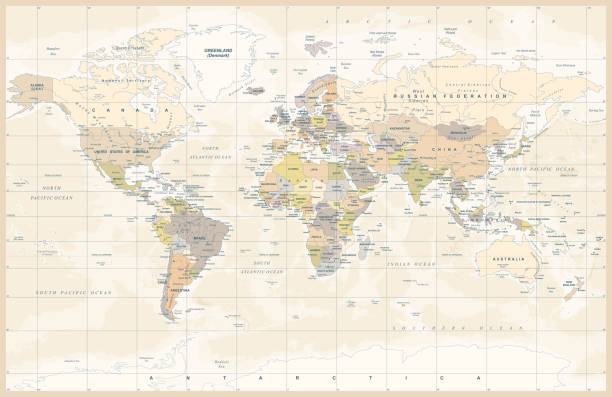
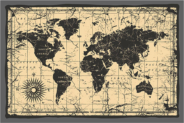
Detailed Vintage Old-Style World Map - vector illustration - blue and beige
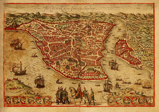
Old engraving depicting map of Constantinopolis (Istanbul), the capital of the Byzantine and the Ottoman empires. Printed in 1572 by Braun and Hogenberg in Civitates Orbis Terrarum. Photo by N. Staykov (2007)Click on thumbnails below for more images of Istanbul:
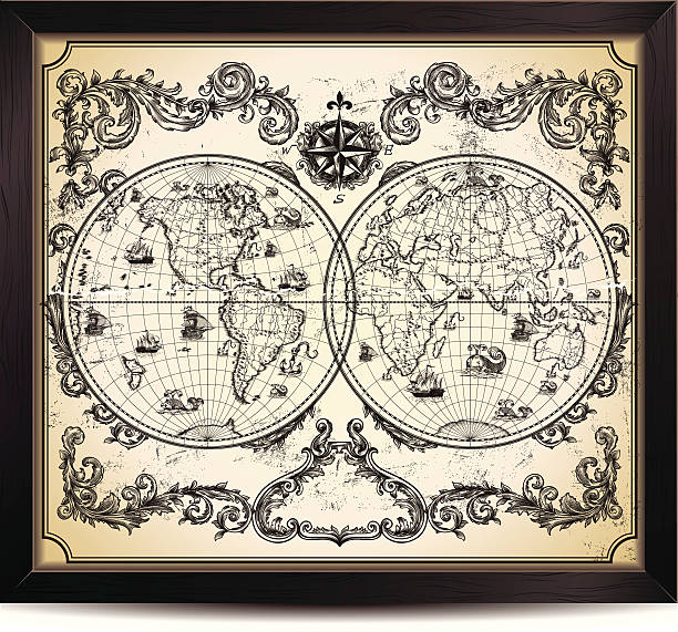
Vintage World Map in wood frame.

Old vintage paper with wind rose compass sign. Vector illustration on the theme of travel, adventure and discovery on the background of an old map. Pirate map concept.
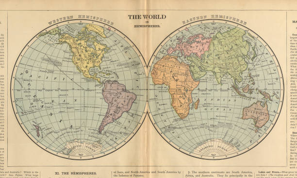
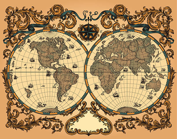
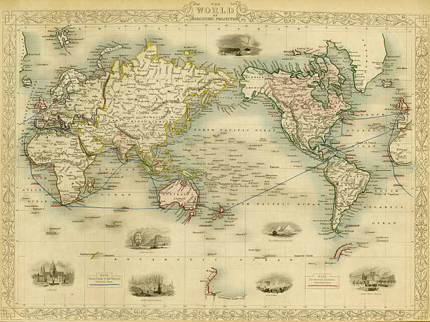
Very Rare, Beautifully Illustrated Antique Victorian Engraved Colored Map of The World in Hemispheres, Published in 1899. Source: Original edition from my own archives. Copyright has expired on this artwork. Digitally restored.
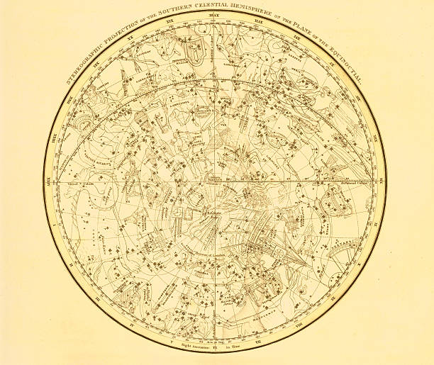
A medieval decorative map of the zodiac contellationsScanned from my collection of antique maps and engravings. See more of these zodiac engravings on iStock:
Wind rose hand drawn illustration. Marine objects collection.
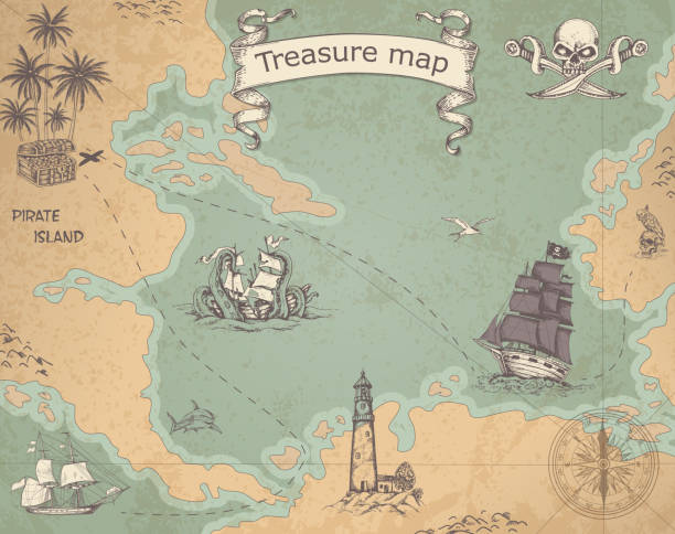
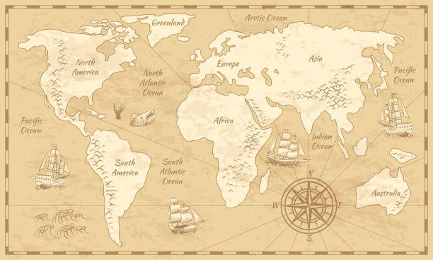
Vintage vector pirate map with sailing vessels. Ancient treasure map with ships and compass.
World Map Physical Vintage - vector illustration
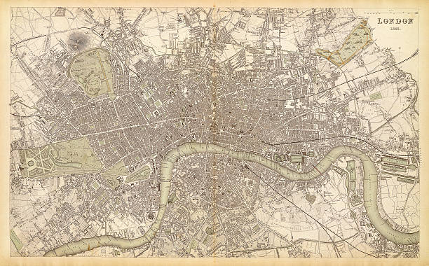
map/plan of the city of london 1843
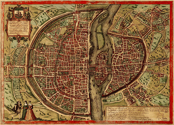
A medieval map of Paris, France, scanned from a XVII century original. Nice cartouches and vignetes and a nice example of decorative mapping. Published more than 300 years ago
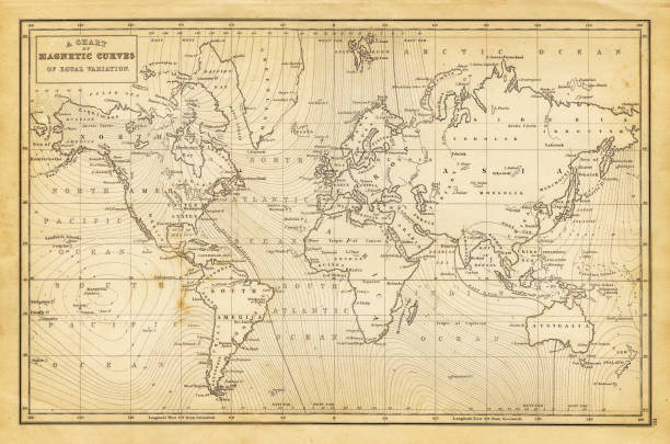
antique map of the world (a chart of magnetic curves of equal variation) - 1844

Detailed Vintage Black Golden World Map - vector illustration
Vector abstract seamless background on the theme of travel, adventure and discovery. Old hand drawn map with vintage sailing yachts, wind rose, routs, nautical symbols and handwritten inscriptions
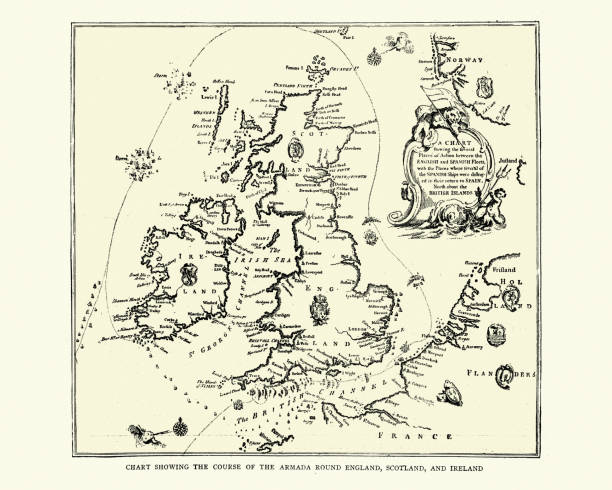
Vintage illustration of Map showing course of the Spanish Armada round England and Ireland
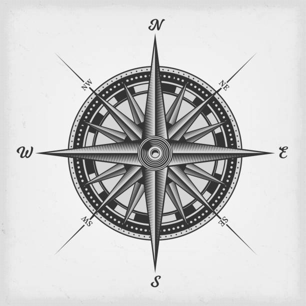
Illustration of a black and white nautical compass rose on vintage old textured background
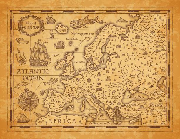
Vintage map of Europe, vector ancient parchment with european continent, mountain ranges, rivers and lakes, ocean wind rose, mythological sea beasts, ship, medieval territory on aged old paper
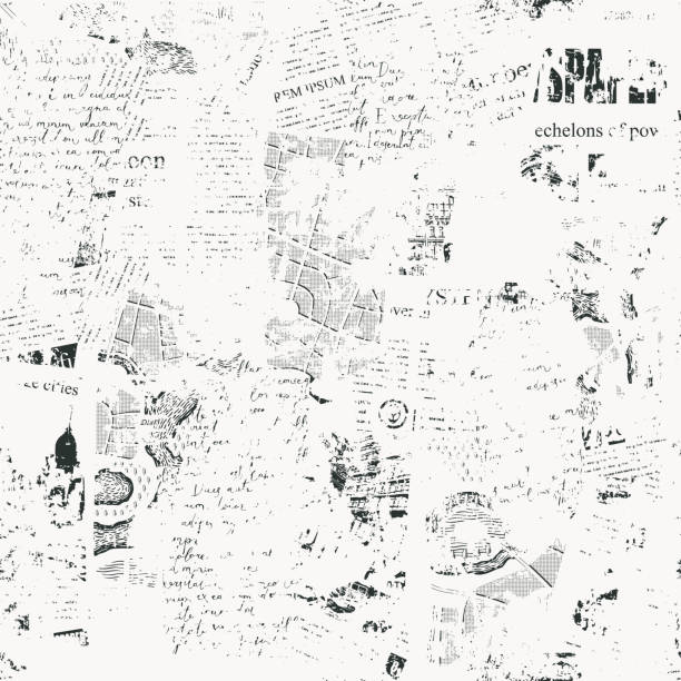
Seamless pattern with collage of newspaper or magazine and map clippings. Retro style vector background with titles, illustrations and imitation text. Suitable for wallpaper design, wrapping paper

Detailed retro political World Map. Highly detailed vector illustration of World Map.
Political Physical Topographic Colored World Map Vector illustration

World Map Vintage Political - Vector Detailed Illustration
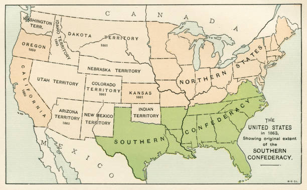
Map from “A History of the United States for America for Schools” 1895

Wordl map drawn on aged paper vector illustration.

Vector illustration

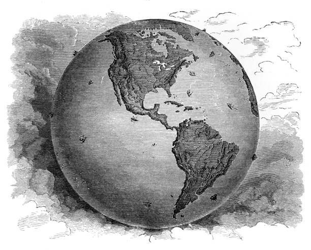
Northern Hemisphere detailed illustration
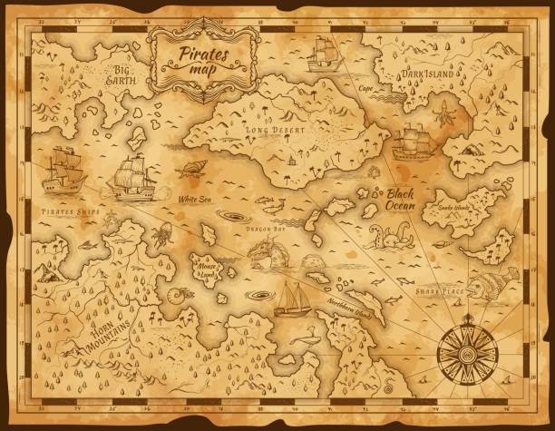
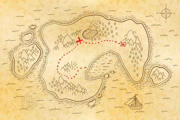
Old pirate treasure map. Vintage parchment paper with vector island, sea and sail ship, antique compass, ocean monster animal and fish sketch. Treasure hunt adventure, cartography and sea journey
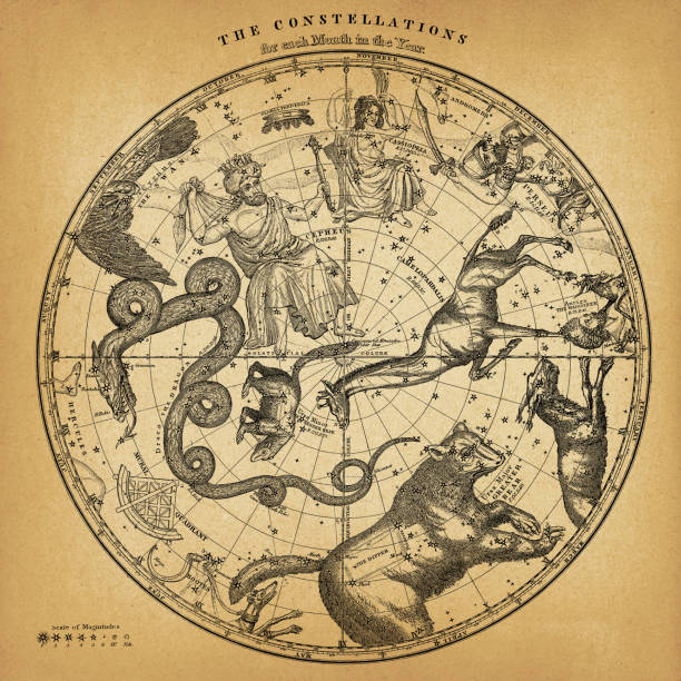
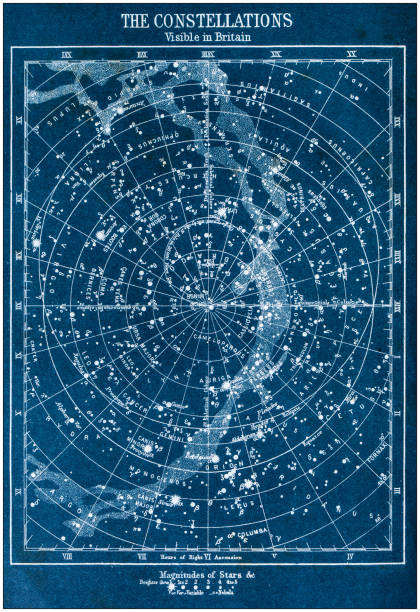
Vintage map showing the constellations in the Northern Hemisphere on old paper.
Vintage world map. Ancient world antiquity paper map with continents ocean sea old sailing vector background
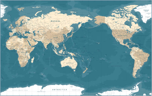
World Map - Pacific View - Asia China Center - Political Topographic - Vector Detailed
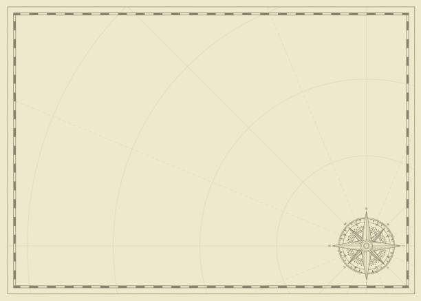
Vintage background with wind rose compass sign and place for text. Vector illustration on the theme of travel, adventure and discovery on the old paper backdrop. Pirate map concept.
"Antique world map in vector, decorated with patterns and old nautical symbols."
Set of three vector Engraved illustrations of blank scrolls. Each Scroll on separate layer, Lines, Engraving, Highlights, Color and Drop Shadow neatly on groups. Easy to change colors via Global Color

Map of World in a trendy vintage style. Beautiful retro illustration with old textured paper and light rays in the background (colors used: blue, green, beige and black for the outline). Vector Illustration (EPS10, well layered and grouped). Easy to edit, manipulate, resize or colorize.
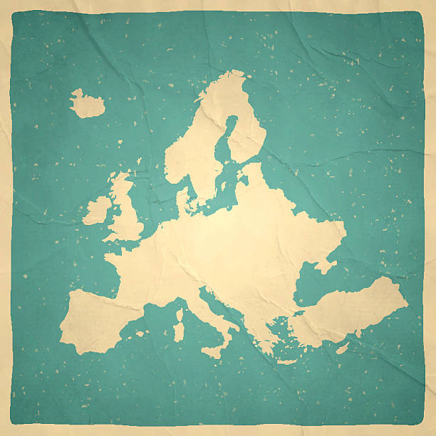
Map of Europe with a retro style, a vintage effect on an old textured paper.

Gilded retro style zodiac sign constellation poster vertical composition with copy space and astrology star sign names

Sun, moon and clouds engraving. Retro scratching or engraved moon and sun celestial faces vector illustration in vintage style

Hand-drawn vector banner with a wind rose and old nautical compass in retro style. Illustration on the theme of travel and discovery on the background with waves
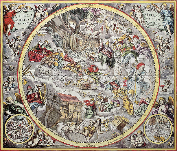
Old representation of Christian celestial hemisphere. From Atlas Coelestis, created by Andreas Cellarius, published in Amsterdam, ca. 1660
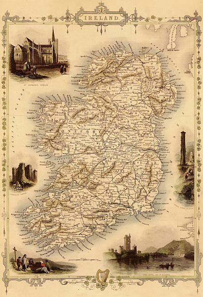
Antique map of Ireland. Published by the J.Tallis and Sons, London and New York, 1851. Photo by N. Staykov (2008)Click on thumbnails below for more UK and Ireland maps:

Vector antique nautical map.

Map of Saint Vincent and the Grenadines in vintage style. Beautiful illustration of antique map on an old textured paper of sepia color. Old realistic parchment with a compass rose, lines indicating the different directions (North, South, East, West) and a frame used as scale of measurement.Vector Illustration (EPS10, well layered and grouped). Easy to edit, manipulate, resize or colorize. Please do not hesitate to contact me if you have any questions, or need to customise the illustration. http://www.istockphoto.com/portfolio/bgblue
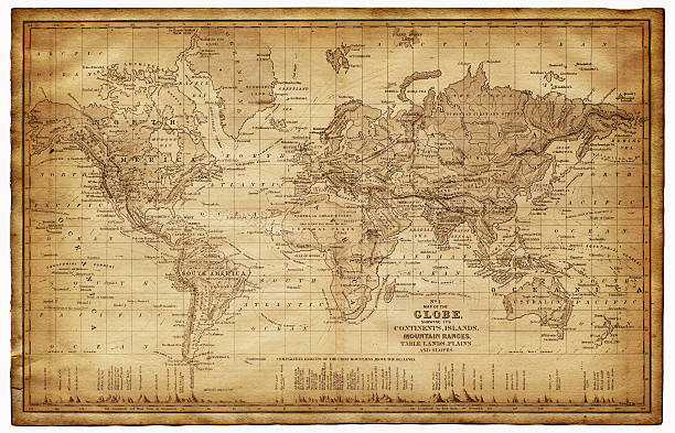
map of the world 1867 - showing the continents, islands, plains, lands and mountain range
Appleton's American Standard Geography 1881
An antique map of the world, scanned from a XVIII century original.
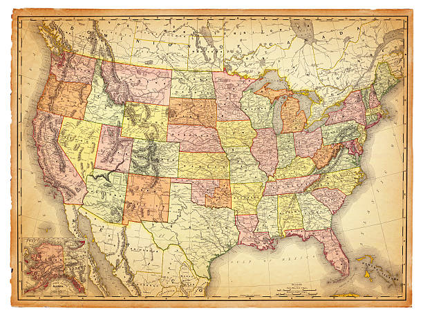
An old map of the USA scanned from an 1881 original. Photo by N. Staykov (2007)
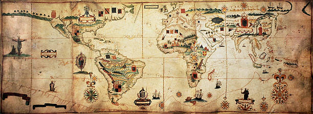
Antique world planisphere portolan map of Spanish and Portuguese maritime and colonial empire. Created by Antonio Sanches, published in Portugal, 1623

Ocean Water Topographic Background isolines.

Hand drawn vector illustration.
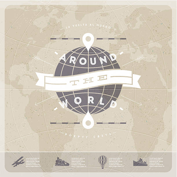
Around the world - travel vintage type design with world map and old transport.
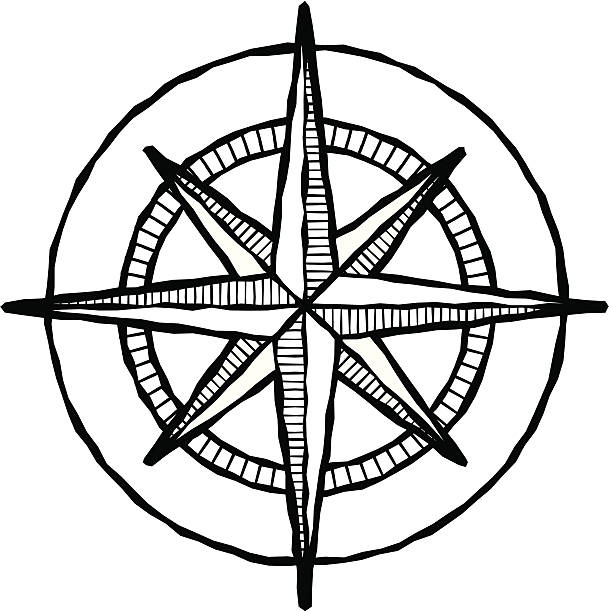
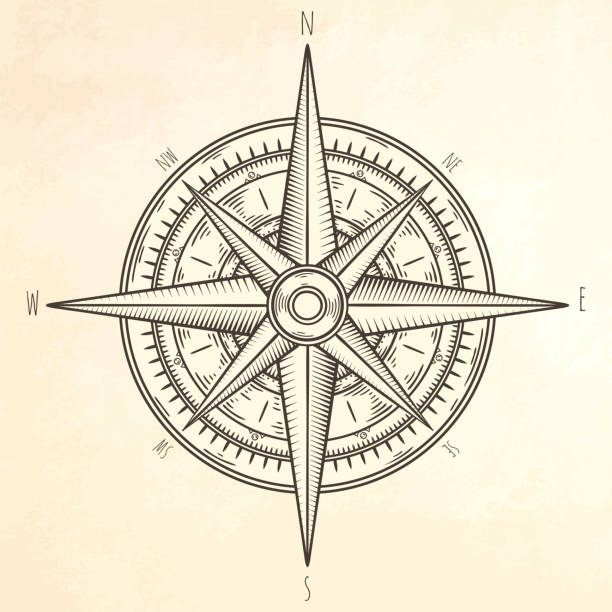
Vector illustration of a compass rose, done in a woodcut style.
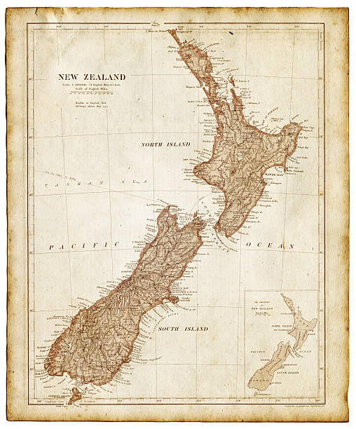
Old map of New Zealand and Tasmania 1899 - combined with textures overlay
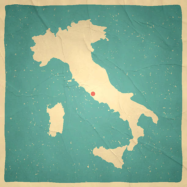
Map of Italy with a retro style, a vintage effect on an old textured paper.
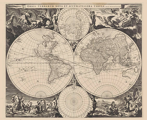
Map of the World, Jan de Visscher, Nicolaes Visscher (I), c. 1670 - c. 1680
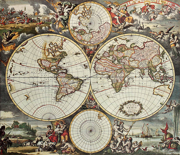
Old map of world hemispheres. Created by Frederick De Wit, published in Amsterdam, 1668