Black Sea Pictures, Images and Stock Photos
Browse 92,100+ black sea stock photos and images available, or search for the black sea or black sea port to find more great stock photos and pictures.
the black sea
black sea port
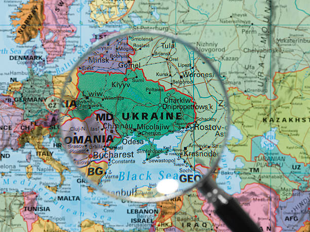
black sea map
black sea bass
constanta black sea
black sea wheat
romania black sea
black sea romania
russia black sea
black sea village house
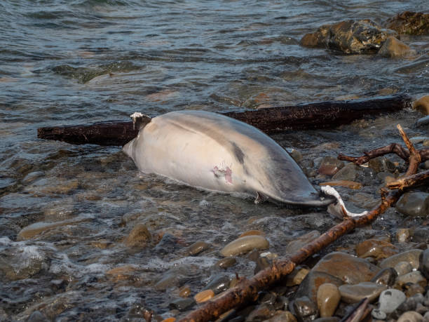
black sea shipwreck
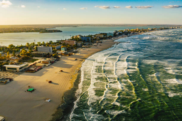
black sea coast
black sea nettle
black sea bulgaria
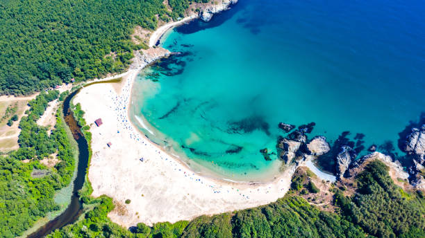
black sea beach
turkey black sea
black sea holiday
black sea fish
jellyfish black sea
black sea aerial
us ships black sea
corn field black sea
black sea turkey
europe map black sea
black sea ukraine
black sea russia
black sea road
black sea map vector
danube black sea
black sea night
Most popular
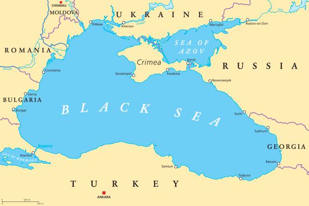
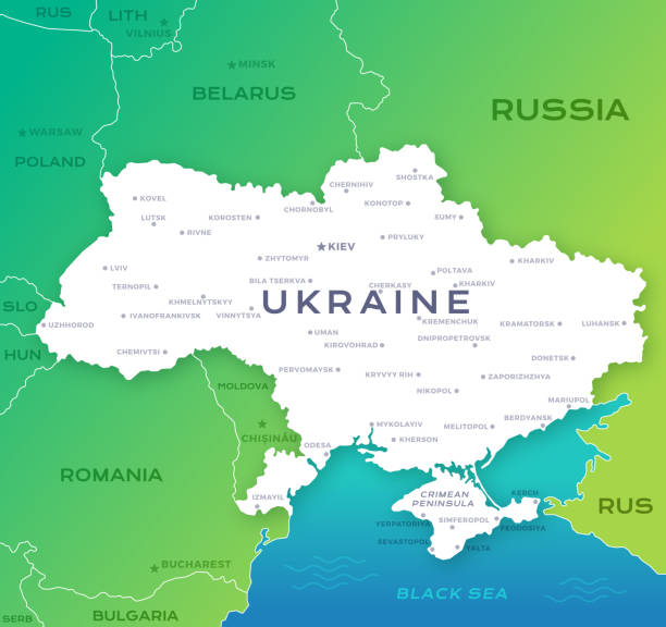
Black Sea and Sea of Azov region political map with capitals, most important cities, borders and rivers. Body of water between Eastern Europe and Western Asia. Illustration. English labeling. Vector.
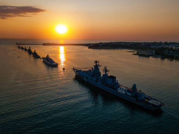
Russian fleet parade in Sevastopol bay at Navy day, aerial view.
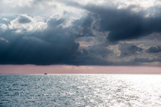
Seascape with a ship on the horizon, Black sea
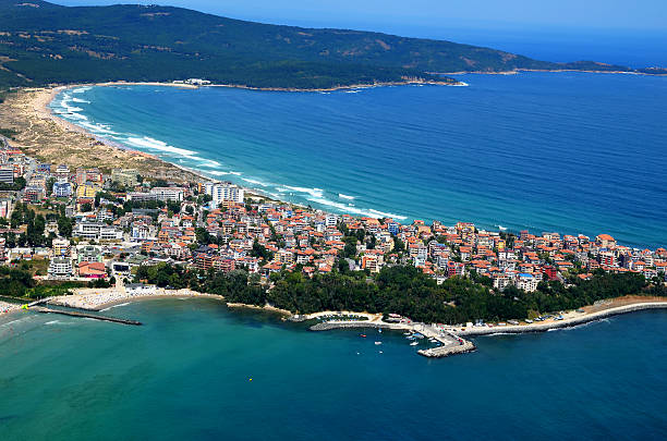
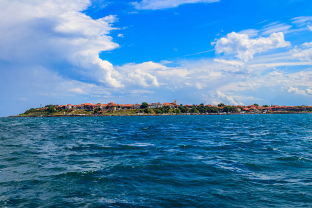
Primorsko Town, Port, Bulgaria Black Sea
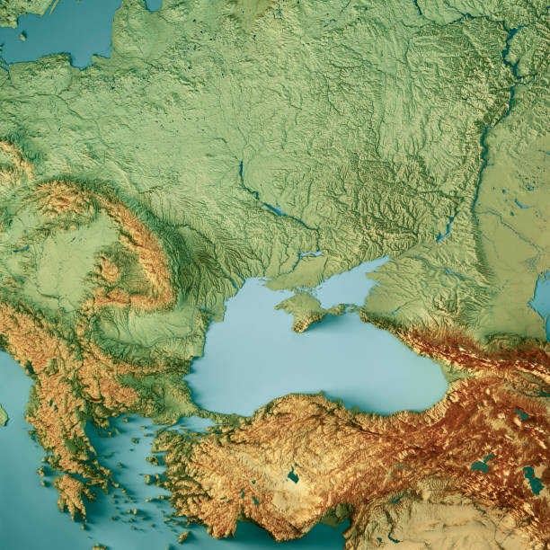
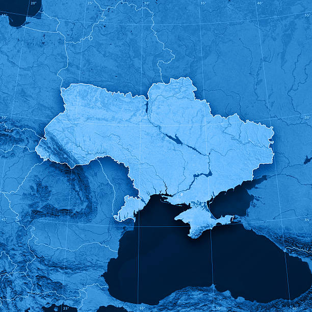
3D Render of a Topographic Map of Ukraine and the Black Sea. All source data is in the public domain. Color texture: Made with Natural Earth. http://www.naturalearthdata.com/downloads/10m-raster-data/10m-cross-blend-hypso/ Relief texture: SRTM data courtesy of NASA JPL (2020). URL of source image: https://e4ftl01.cr.usgs.gov//DP133/SRTM/SRTMGL3.003/2000.02.11 Water texture: SRTM Water Body SWDB: https://dds.cr.usgs.gov/srtm/version2_1/SWBD/ Boundaries Level 0: Humanitarian Information Unit HIU, U.S. Department of State (database: LSIB) http://geonode.state.gov/layers/geonode%3ALSIB7a_Gen
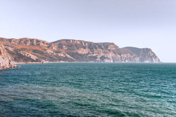
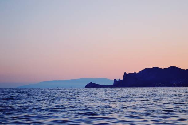
A distant steep rocky mountain on the Black sea shore near the time of sunset
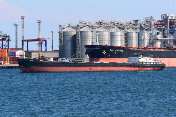
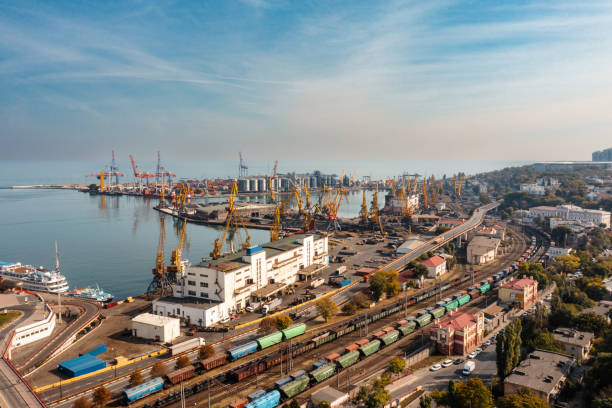
River lighter ARGO, having transshipped grain into the holds of the ocean-going bulk carrier CAPT STEFANOS at the grain terminal, leaves harbour for a new freight consignment. Port of Odessa. October 10, 2021

Albena resort, at Black Sea, near Varna, Bulgaria. Panoramic view.
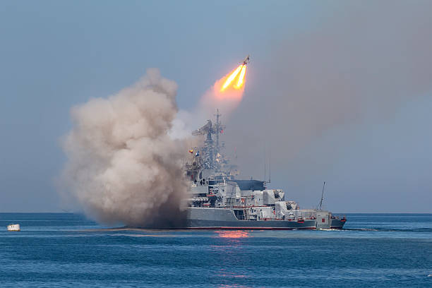
A missile frigate of the Russian Navy makes missile launch during Marine Parade on the Navy day near Sevastopol
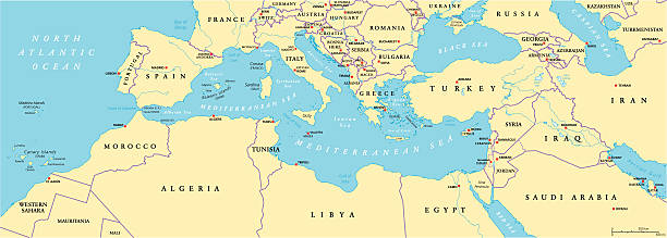
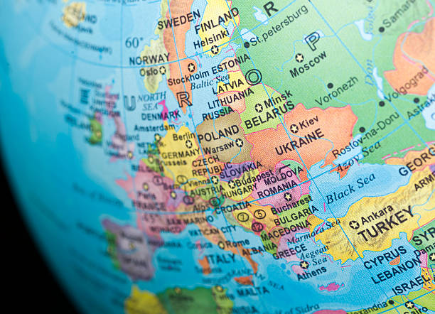
Mediterranean Basin Political Map. South Europe, North Africa and Near East with capitals, national borders, rivers and lakes. English labeling and scaling. Illustration.
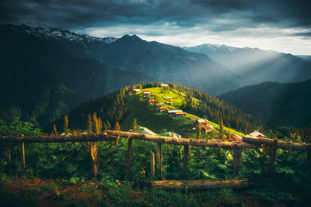
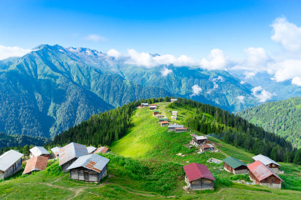
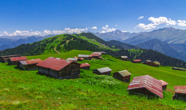
Beautful nature landscape view against wooden fences at Pokut Highland in Çamlıhemşin, Rize in Blacksea region of Turkey on sunny summer morning

Rize, Turkey - July 2017: Tea picker young girl tea garden Rize Turkey East Blacksea
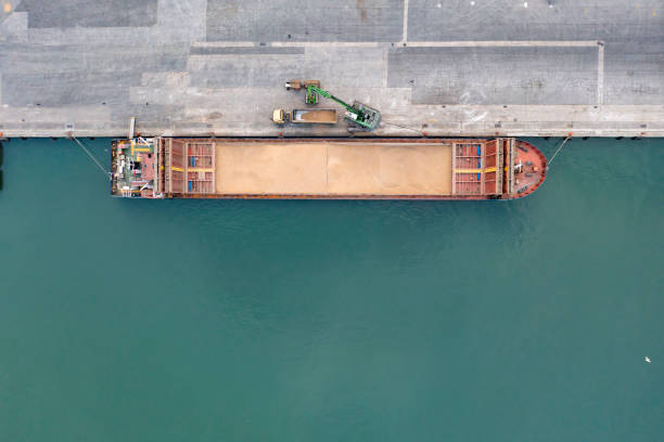
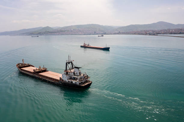
Top view of a large cargo ship loading or unloading grain. Sea transportation. Truck carrying grain
Silistar, Bulgaria. Amazing turquoise water and sandy beach on Black Sea

Aerial view of tugboat in leaving port for pilotting.

3D Render of a Topographic Map of Ukraine and the Black Sea. Version with Country Boundaries. All source data is in the public domain. Color texture: Made with Natural Earth. http://www.naturalearthdata.com/downloads/10m-raster-data/10m-cross-blend-hypso/ Relief texture: SRTM data courtesy of NASA JPL (2020). URL of source image: https://e4ftl01.cr.usgs.gov//DP133/SRTM/SRTMGL3.003/2000.02.11 Water texture: SRTM Water Body SWDB: https://dds.cr.usgs.gov/srtm/version2_1/SWBD/ Boundaries Level 0: Humanitarian Information Unit HIU, U.S. Department of State (database: LSIB) http://geonode.state.gov/layers/geonode%3ALSIB7a_Gen
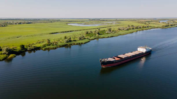
Grain carrier in the sea goes along the Dnieper. Delivery of wheat worldwide. Ship logistics during the war in Ukraine. Turkish corridor in Ukraine for the import of grain
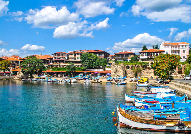
Boats mooring on sea in Nessebar, Bulgaria. Summer sunny landscape with moored woods boat at quay by blue sky
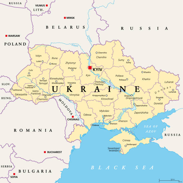
Ukraine, administrative divisions, political map. Country and unitary state in Eastern Europe with capital Kyiv, also called Kiev. Country subdivision with administrative centers. Illustration. Vector

Cruiser Moskva - of guided missile cruisers in the Russian Navy on the parade on Russian Navy Day
"3D render and image composing: Topographic Map of Ukraine. Including country borders, rivers and accurate longitude/latitude lines. High resolution available! High quality relief structure!Relief texture and satellite images courtesy of NASA. Further data source courtesy of CIA World Data Bank II database.Note: This image is perfectly congruent to the image"

Top view of a large cargo ship loading or unloading grain. Sea transportation. Truck carrying grain
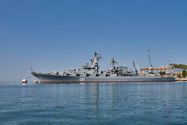
Sevastopol, Russia - September 26, 2020: Missile cruiser Moscow is moored in the port of Sevastopol. Black Sea Fleet of Russia.
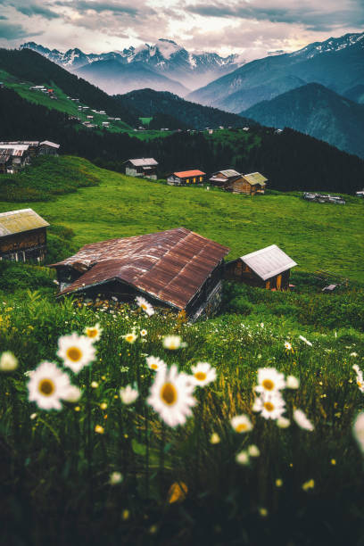
Landscape of beautiful sunrise view from the Pokut highland with traditional wooden houses in Çamlıhemşin, Rize in Blacksea region of Turkey
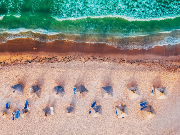
Drone point of view of small beach with sunshades
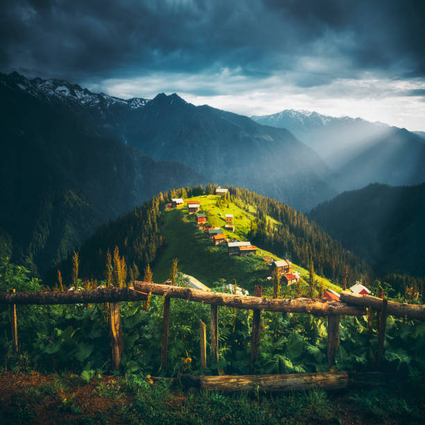
Beautful nature landscape view at Pokut Highland in Çamlıhemşin, Rize in Black sea region of Turkey on sunny summer morning
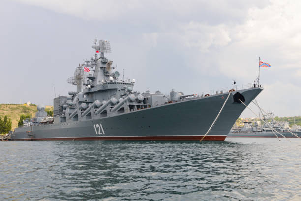
July 11, 2021: The Guards missile cruiser "Moscow" is the flagship of the Black Sea Fleet at the base. Sevastopol. Russia.
Map of Ukraine showing important cities, regional countries and capitals.

country woman holding basket in tea garden black sea Turkey
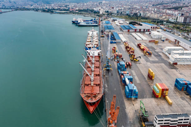
Aerial view of cargo ship at port.
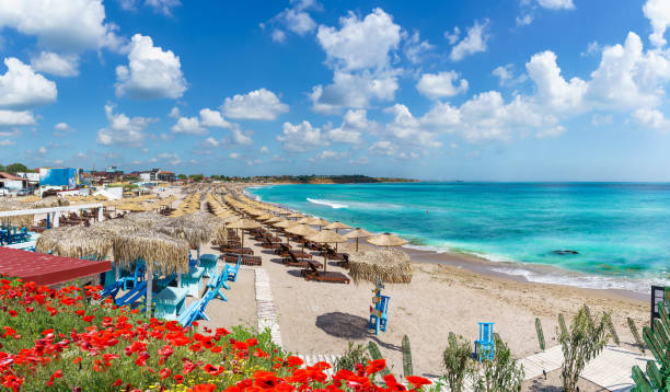
Holiday resort Vama Veche at Black Sea Coast, Romania
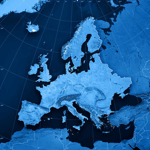
3D render and image composing: Topographic Map of Europe. Including rivers and accurate longitude/latitude lines. High resolution available! High quality relief structure!Relief texture and satellite images courtesy of NASA. Further data source courtesy of CIA World Data Bank II database.Note: This image is perfectly congruent to the image
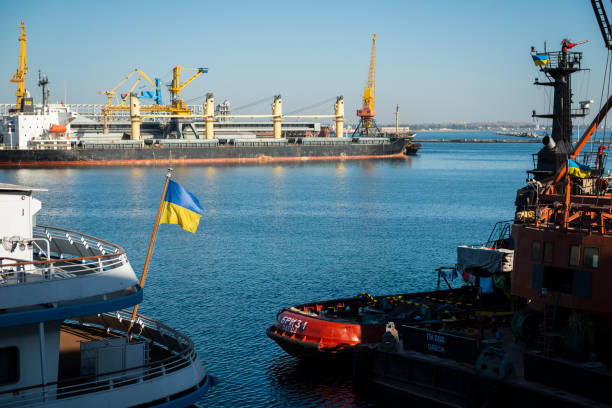
The Ukrainian flag flies from the stern of a ship in the Black Sea port of Odessa, Ukraine, on September 16, 2016.
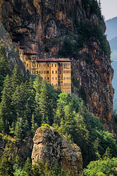
The histroical Sumela Monstery at Trabzon in Turkey
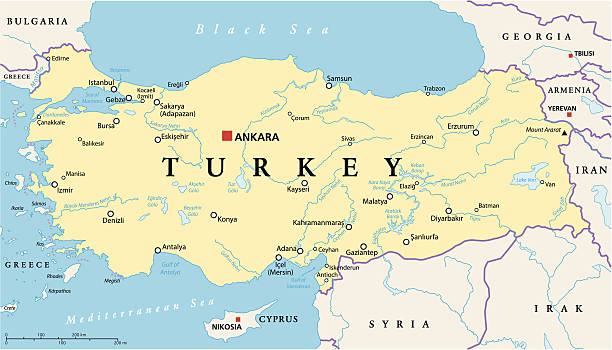
Turkey Political Map with capital Ankara, national borders, most important cities, rivers and lakes. English labeling and scaling. Illustration.
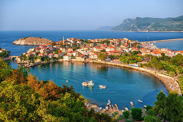
Amasra resort town situated on a peninsula lagoon, Black Sea coast, Turkey

Amasra resort town situated on a peninsula lagoon, Black Sea coast, Turkey
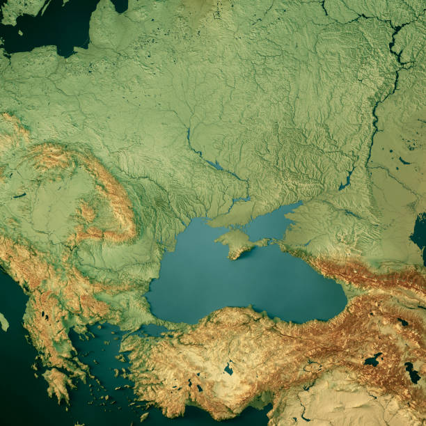
3D Render of a Topographic Map of Ukraine and the Black Sea. All source data is in the public domain. Color texture: Made with Natural Earth. http://www.naturalearthdata.com/downloads/10m-raster-data/10m-cross-blend-hypso/ Relief texture: SRTM data courtesy of NASA JPL (2020). URL of source image: https://e4ftl01.cr.usgs.gov//DP133/SRTM/SRTMGL3.003/2000.02.11 Water texture: SRTM Water Body SWDB: https://dds.cr.usgs.gov/srtm/version2_1/SWBD/ Boundaries Level 0: Humanitarian Information Unit HIU, U.S. Department of State (database: LSIB) http://geonode.state.gov/layers/geonode%3ALSIB7a_Gen

Ukraine political map with capital Kiev, national borders, important cities, rivers and lakes. English labeling and scaling. Illustration.
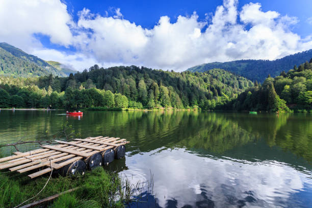
Landscape view of Karagol (Black lake) a popular destination for tourists,locals,campers and travelers in Eastern Black Sea,Savsat, Artvin, Turkey
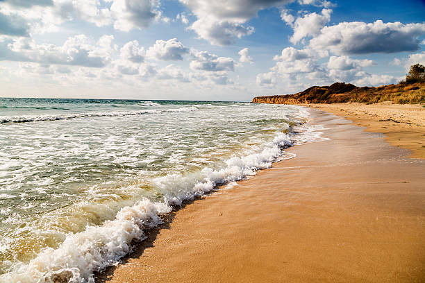
Beautiful empty beach at the morning in summer
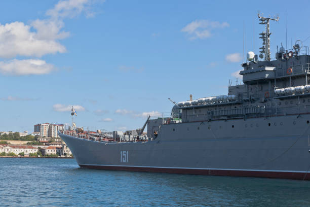
Sevastopol, Crimea, Russia - July 27, 2020: Large landing ship Azov in the Sevastopol Bay, Crimea
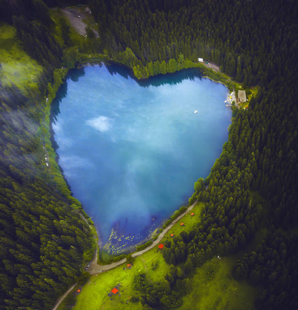
Aerial view of beautiful natural heart-shaped lake Karagol (Black lake) and forest in Savsat, Artvin, Turkey from bird eye view
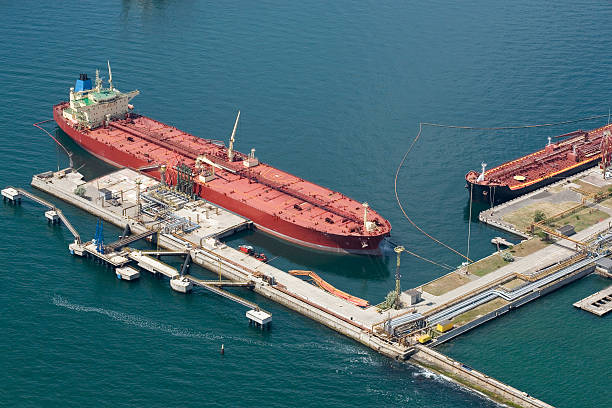
The tanker standing at the oil terminal, against the sea a sunny day It is taken out from the helicopter.
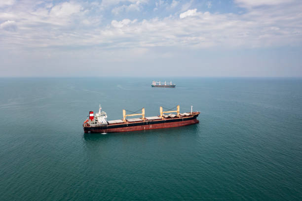
Cargo ships standing on the roadstead. Import, export and business logistic. International sea transportation concept. Aerial view of Black Sea against Samsun city in Turkey.
Processed with VSCO with l6 preset
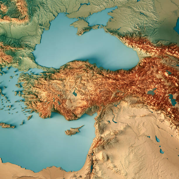
3D Render of a Topographic Map of Turkey. All source data is in the public domain. Color texture: Made with Natural Earth. http://www.naturalearthdata.com/downloads/10m-raster-data/10m-cross-blend-hypso/ Relief texture and Rivers: SRTM data courtesy of USGS. URL of source image: https://e4ftl01.cr.usgs.gov//MODV6_Dal_D/SRTM/SRTMGL1.003/2000.02.11/ Water texture: SRTM Water Body SWDB: https://dds.cr.usgs.gov/srtm/version2_1/SWBD/
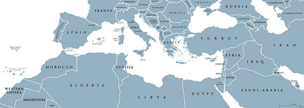
Mediterranean Basin political map. Mediterranean region, also Mediterranea. Lands around Mediterranean Sea. South Europe, North Africa and Near East. Gray illustration with English labeling. Vector.
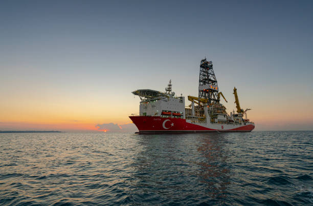
Antalya, Turkey - October 02, 2018: Turkey's first drilling vessel "Fatih" found some 320 billion cubic meters (11.3 trillion cubic feet) of natural gas in Black Sea, Turkey.
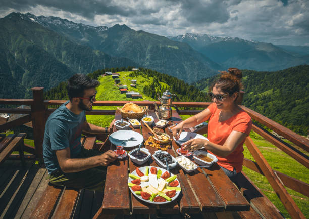
A young tourist couple eating delicious Turkish breakfast with various colorful foods and Black Sea Region food stretch muhlama or kuymak (Turkish Cheese Fondue) with nature landscape view at Pokut Highland in Çamlıhemşin, Rize in Karadeniz region of Türkiye
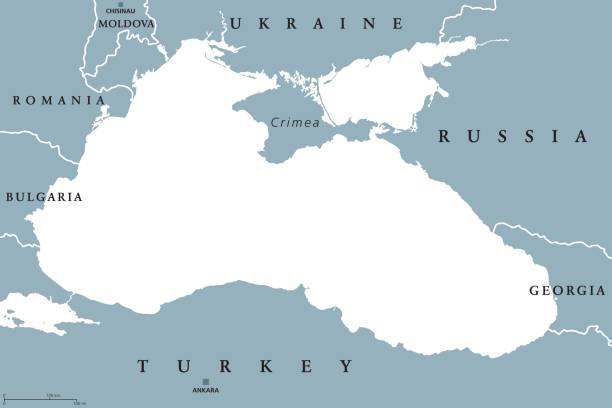
Black Sea and Sea of Azov region political map with capitals and borders. Body of water between Eastern Europe and Western Asia. Illustration. Gray illustration. Vector.