00:20
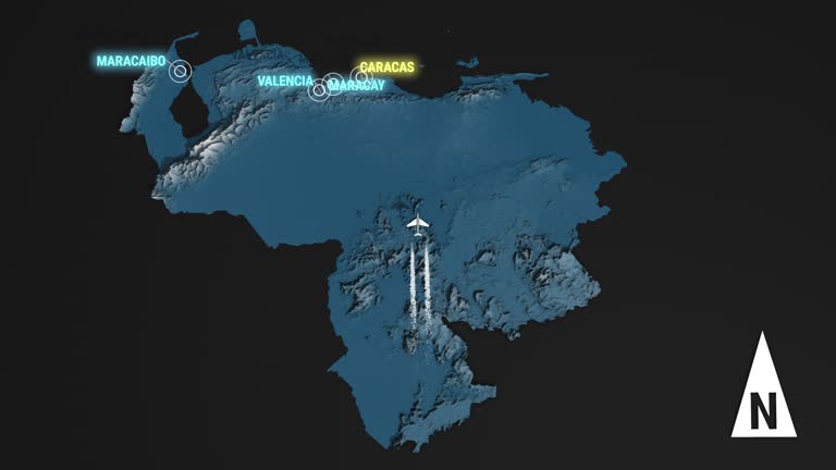
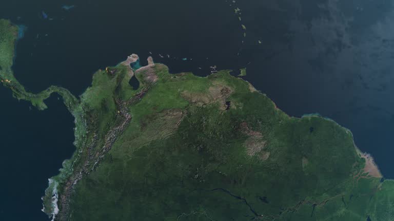
Seamless looping animation of the 3d terrain map at nighttime of Venezuela with the capital and the biggest cites in 4K resolution
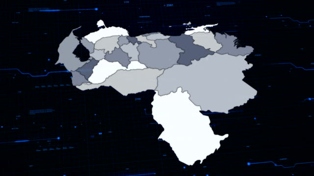
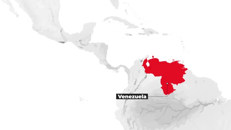
The communication network is distributed around the Venezuela
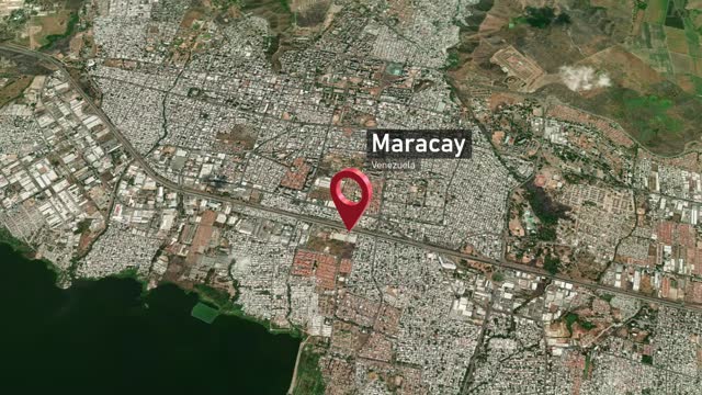
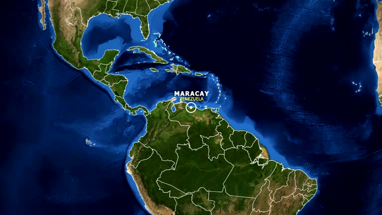
High quality video of zoom to the City of Maracay from space * Full HD * Duration: 0:20
World map set of all countries, Map resolution: 22000 x 11000 pixel, Epic photo real animation, World Map Credits To NASA : https://visibleearth.nasa.gov/images/57752/blue-marble-land-surface-shallow-water-and-shaded-topography
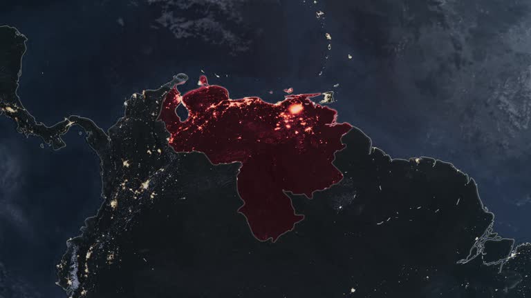
Seamless looping animation of the earth at night zooming in to the 3d map of Venezuela with the capital and the biggest cites in 4K resolution
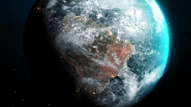
Highlighted dark map of countries, zooming in from the space through a 4K photo real animated globe, with a panoramic view consisting of Africa, North and South America. Epic spinning world animation, Realistic planet earth, highlight, satellite, aerial
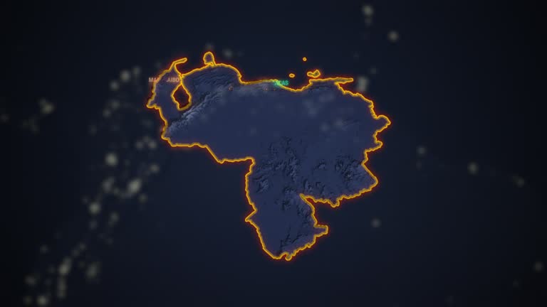
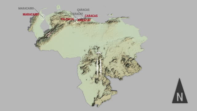
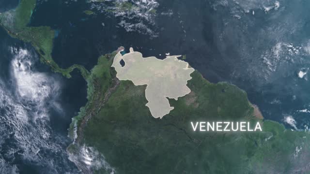
Seamless looping animation of the 3d terrain map of Venezuela with the capital and the biggest cites in 4K resolution
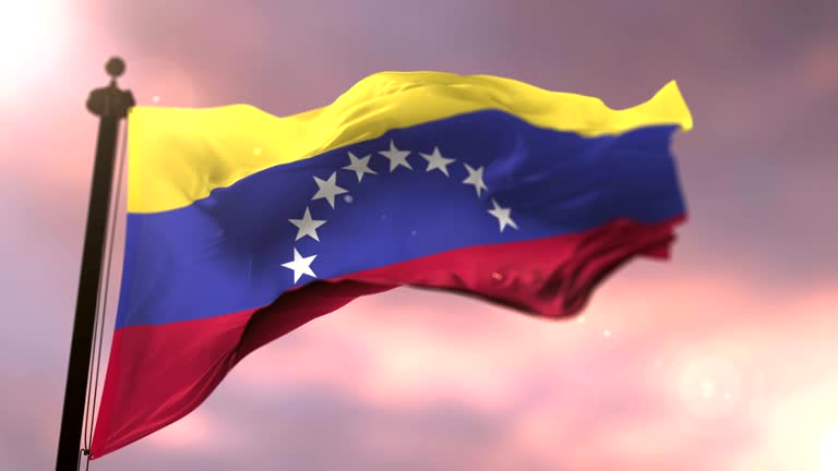
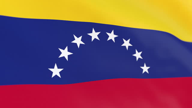
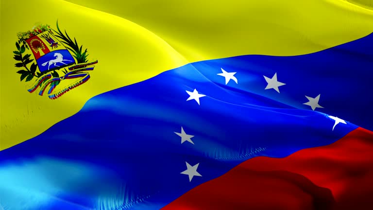
Highly detailed animation of the Venezuela flag. Seamless loop.
Venezuela flag waving animation. Full Screen. Symbol of the country. 4K
VENEZUELA MARACAY ZOOM IN FROM SPACE
Aerial view of Maracay city in north-central Venezuela. The capital of the state of Aragua. The Caribbean town is surrounded by mountains. High quality 4k footage
Aerial view of Maracay city on cloudy weather. The capital of the state of Aragua. The Caribbean town is surrounded by mountains. High quality 4k footage
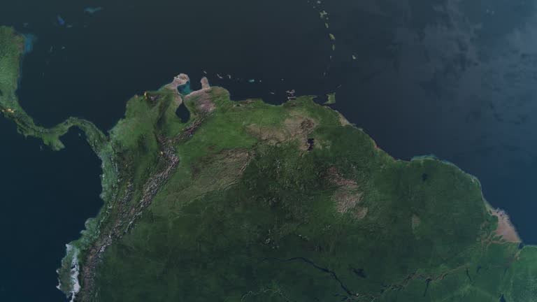
Seamless looping animation of the earth zooming in to the 3d map of Venezuela with the capital and the biggest cites in 4K resolution
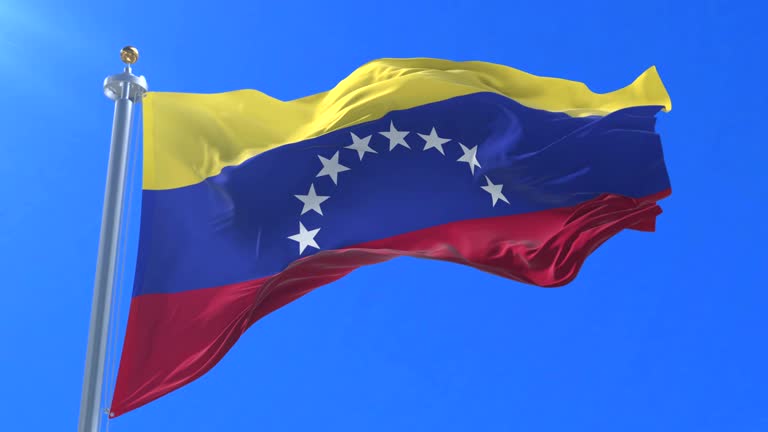
Flag of Venezuela waving at wind in slow with blue sky, loop
Epic photo real animation, World Map Credits To NASA : https://visibleearth.nasa.gov/images/57752/blue-marble-land-surface-shallow-water-and-shaded-topography
World map set of all countries, Map resolution: 22000 x 11000 pixel, Epic photo real animation, World Map Credits To NASA : https://visibleearth.nasa.gov
This impressive visual represents a unique animation that zooms from space towards the continents of our world. You can use this content to enrich your content, from documentaries to promotional videos, television shows, travel programs and even infographics.
Epic photo real animation, World Map Credits To NASA : https://visibleearth.nasa.gov/images/57752/blue-marble-land-surface-shallow-water-and-shaded-topography
© 2024 iStockphoto LP. The iStock design is a trademark of iStockphoto LP. Browse millions of high-quality stock photos, illustrations, and videos.