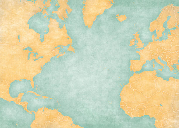
Blank map of North Atlantic Ocean with country borders. The Map is in vintage summer style and sunny mood. The map has soft grunge and vintage atmosphere, like watercolor painting on old paper.
Browse 22,800+ atlantic ocean stock illustrations and vector graphics available royalty-free, or search for atlantic ocean map or atlantic ocean globe to find more great stock images and vector art.
Blank map of North Atlantic Ocean with country borders. The Map is in vintage summer style and sunny mood. The map has soft grunge and vintage atmosphere, like watercolor painting on old paper.

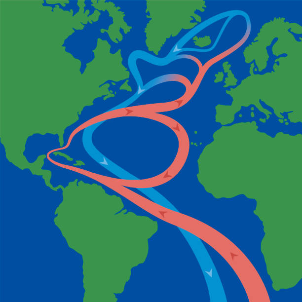
Map of the Golf Stream and major North Atlantic Ocean currents. Sea water is circulating in clockwise direction, the warm currents highlighted in red, and the cold ones in blue. Illustration. Vector

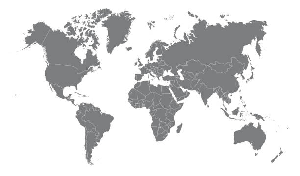
Map of the World - Highly Detailed Vector illustration

Map of North Atlantic Ocean currents, with Gulf Stream and other major ocean currents. North Atlantic water circulating in clockwise direction, red color for warm and blue color for cold currents.

Vector map of the world in cartoon style, continents and oceans.
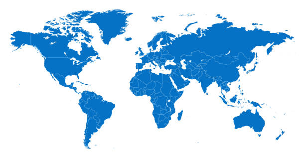
Vector of highly detailed world map - each country outlined and has its own labeled layer- The url of the reference file is : http://www.lib.utexas.edu/maps/world.html- 1 layer of data used for the detailed outline of the land
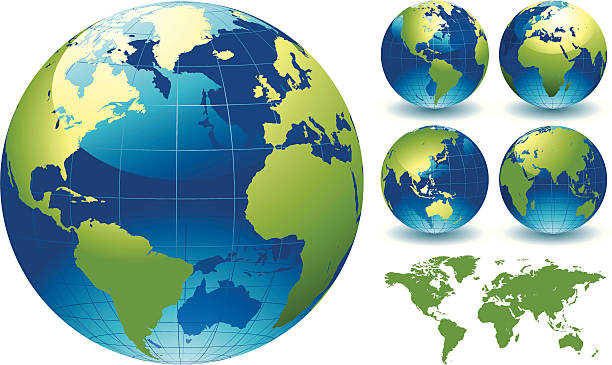
"=""World Globe Map of the Earth. This is a stylised editable EPS file of a globe of the world. This file also includes a highly detailed world map traced manually in Illustrator CS3 and supplied as Illustrator 8 eps vector illustration on 1 layer. Created "
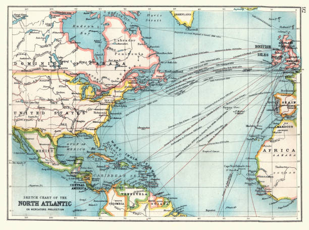
Vintage illustration Old Sketch chart of the North Atlantic on Mercator projection, Shipping routes, Europe, North and South America, 1890s, 19th Century
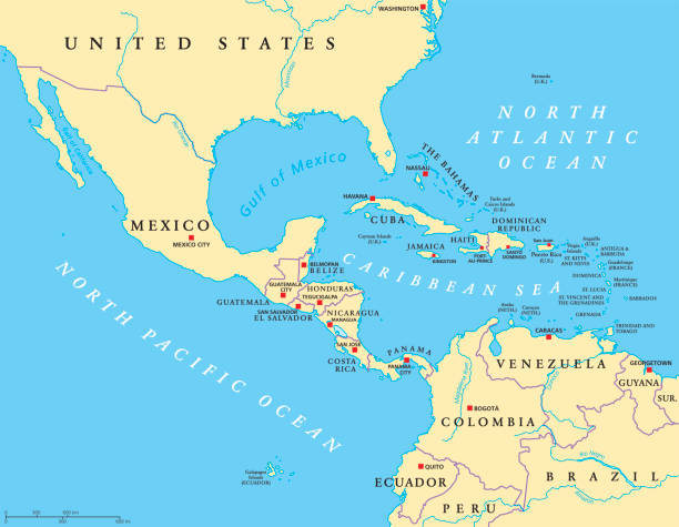
Middle America political map with capitals and borders. Mid-latitudes of the Americas region. Mexico, Central America, the Caribbean and northern South America. Illustration. English labeling. Vector.
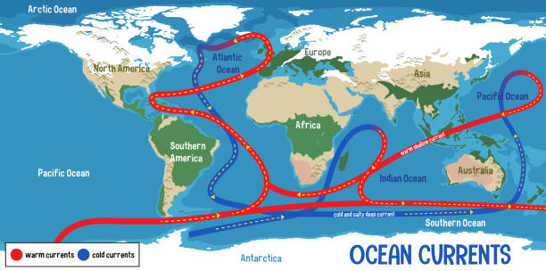
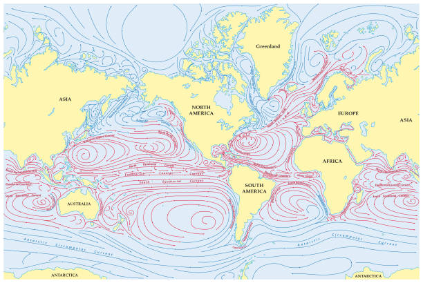
Ocean currents on world map background illustration
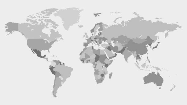
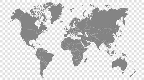
Highly detailed world map with labeling. Grayscale vector illustration.
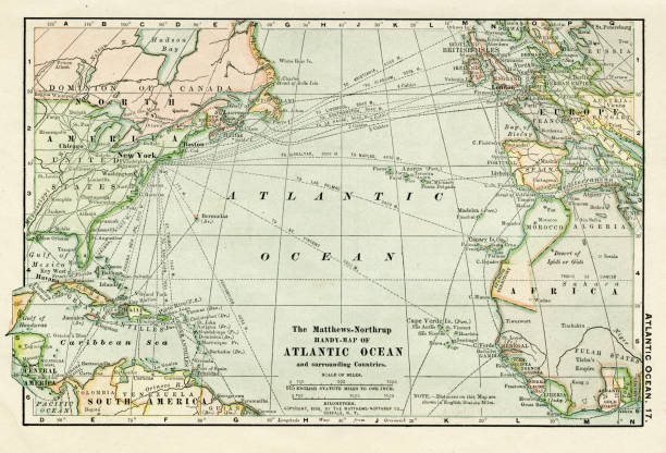
Map from the Complete Handy Atlas of the World - 1898

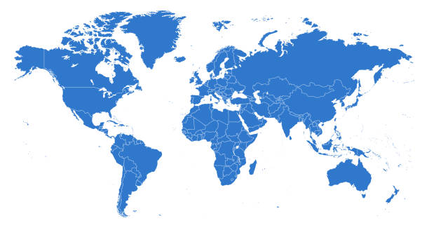
Detailed political world map in blue color with clearly marked country borders on a transparent background. Modern and clean design, ideal for educational materials, business presentations, infographics, travel projects, and global communication concepts.

The world, gray general reference map. Map of the surface of the Earth with landmasses of all continents, with largest lakes, oceans and seas, in Miller cylindrical projection. Illustration. Vector.

A detailed world map illustration made up of dots with flight path lines curving between destinations. The map highlights the busiest airports across the world and is an ideal design element for your project. It's easy to colour and customise if required and can be scaled to any size without loss of quality.

Harper's School Geography, New York, Harper's and Brothers, 1881.
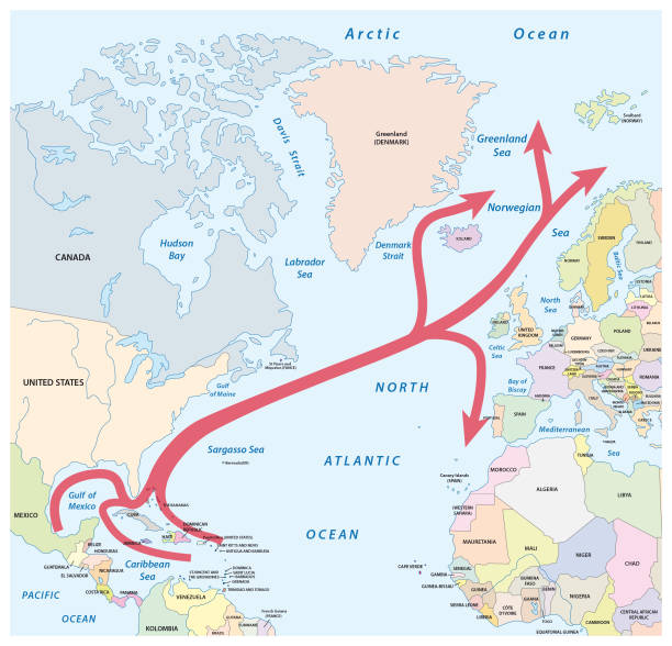
Vector map of the Gulf and North Atlantic stream in the Atlantic Ocean

The world, gray political map with international country borders, continents, main oceans, and largest lakes, in a cylindrical projection. English labeling. Isolated illustration over white. Vector
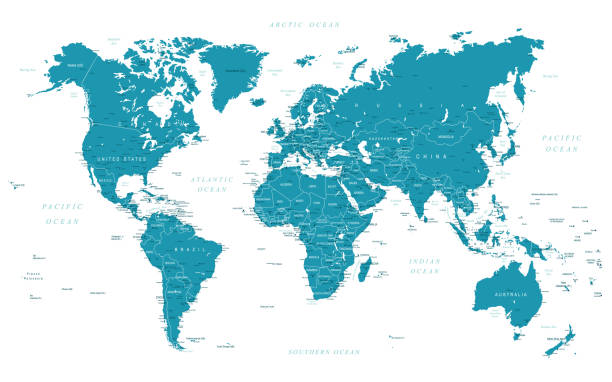
Map of the World - Highly Detailed Vector illustration
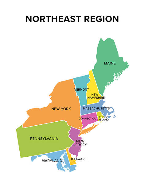
Northeast region of the United States, multi colored map. Also known as the Northeast, the East Coast, or the American Northeast. Geographic region of the USA, consisting of 11 contiguous states.

Map of the Gulf Stream with its northern extension North Atlantic Drift. Warm and swift Atlantic Ocean current, originates in Gulf of Mexico, flows through Straits of Florida and up the US coastline.

Set of cartoon beach seagulls flying in sky vector illustration. Collection of isolated flat gulls sitting and soaring on blue background. Atlantic birds, nature concept for apps, advertising
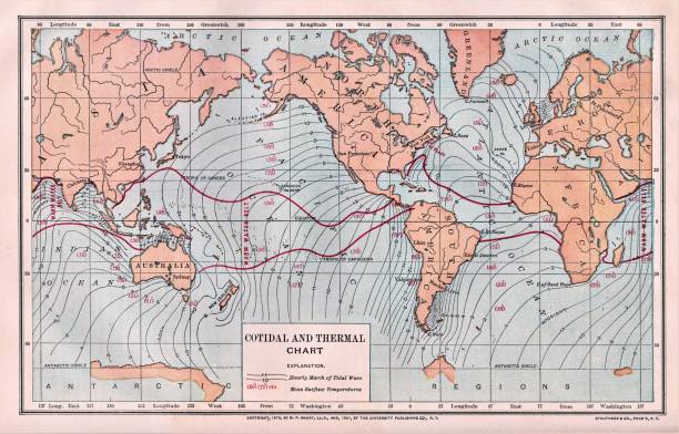
World Map of Cotidal and Thermal Chart. Hourly March of Tidal Waves and Mean Surface Temperatures. Color. Illustration published in Physical Geology by Mytton Maury (University Publishing Company, New York and New Orleans) in 1894. Copyright expired; artwork is in Public Domain. Digitally restored.

The Bermuda Triangle or Devils Triangle, political map. Region in the North Atlantic Ocean between Bermuda, Miami and Puerto Rico, where aircrafts and ships disappeared under mysterious circumstances.

East or Atlantic Coast of the United States, political map. Eastern Seaboard states with coastline on Atlantic Ocean highlighted in yellow and States considered part of the East Coast in light yellow.

Precipitation Weather Map of Hurricane Frances over the Bahamas on September 03, 2004. All source data is in the public domain. Made with data courtesy from Goddard Earth Sciences Data and Information Services Center (GES DISC), NOAA. NCEP/CPC L3 Half Hourly 4km Global Merged IR V1. Countries and Boundaries: Made with Natural Earth.

Cod fish vector sketch icon. Isolated sea or ocean codfish pollock or haddock species of marine fauna animal symbol for zoology, seafood or fish food restaurant, fishing club or fishery market

Yellow tuna. black fin yellow tuna on white. Realistic isolated illustration.
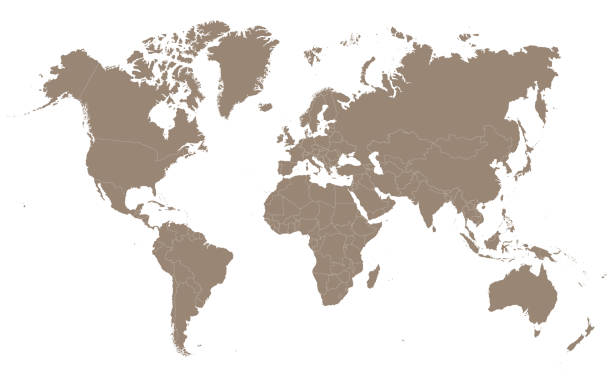
Vector illustration in HD very easy to make edits.

Stingray fish sketch icons, sting ray or manta underwater ocean creature. Vector isolated stingray species black and white engraving, oceanarium and marine wildlife symbol
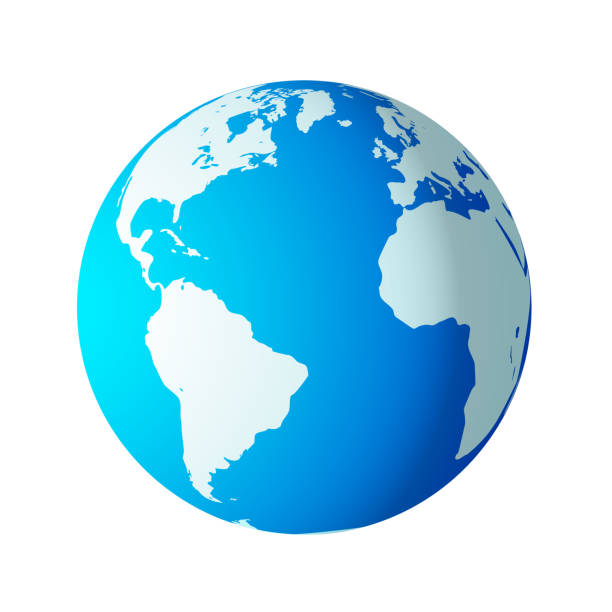
Blue and white photorealistic world globe isolated on white. Grouped and layered for ease of use.

New England, a region of the United States, political map. Maine, Vermont, New Hampshire, Massachusetts, Rhode Island and Connecticut with Capitals. Bordered by the Mid-Atlantic region and by Canada.

Vector Map of the Bermuda Triangle with Surrounding Countries - Infographic Illustration
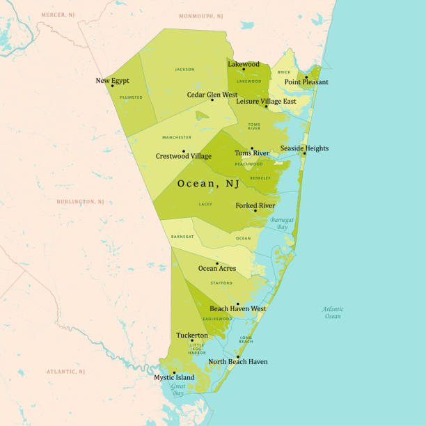
NJ Ocean County Vector Map Green. All source data is in the public domain. U.S. Census Bureau Census Tiger. Used Layers: areawater, linearwater, cousub, pointlm.
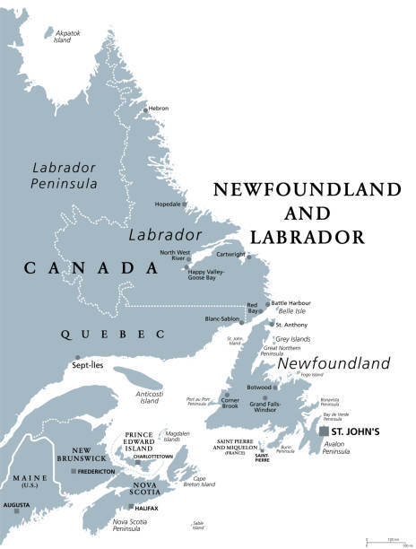
Newfoundland and Labrador, gray political map. Province of Canada, in the Atlantic region. With capital St. Johns, Newfoundland island and continental region of Labrador between Quebec and Atlantic.
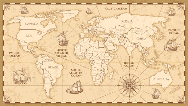
Vector antique world map with countries boundaries. Antique world vintage map, grunge america and europe illustration
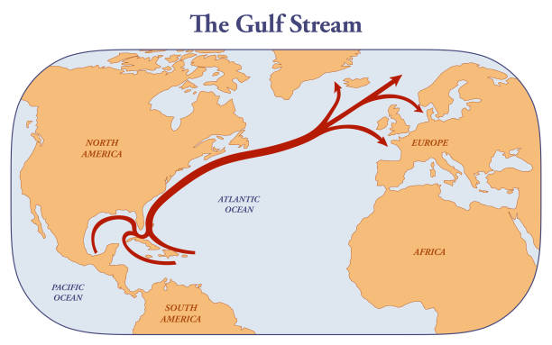
Map with the direction of the Gulf Stream from Mexico to Northern America and Europe
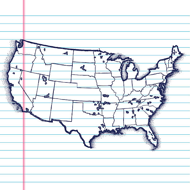
A hand-drawn map of the USA on paper. Created with Adobe Ideas for the iPad.

Simple flat world map illustration with each continent shown in a distinct bright color, isolated on a white background. Suitable for education, geography, presentations, and infographics.
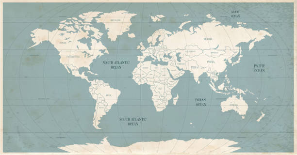
Old world map in vintage style. Political vintage golden world map.Vector stock
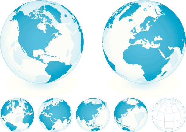
Transparent Blue Globe Set on white background with different planet positions. Additional Zip file contains: .AI(8), PDF and High res JPEG.

imaginary meteorological vector weather map of europe

Earth realistic sphere with meridians and parallels. 3D vector illustration. Carefully layered and grouped for easy editing. You can edit or remove separately the grid, the sea the lands, the light and shadows.