Cape Peninsula stock illustrations
Browse 110+ cape peninsula stock illustrations and vector graphics available royalty-free, or search for cape peninsula south africa to find more great stock images and vector art.
Most popular
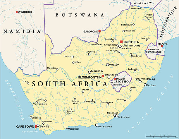
Political map of South Africa with the capitals Pretoria, Bloemfontein and Cape Town, with national borders, most important cities, rivers and lakes. Vector illustration with English labeling and scaling.
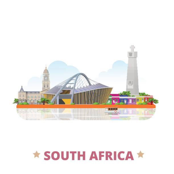
Landmarks of Cape Town. Set of color icons in Metro style. Editable vector illustration.
A set of South African themed icons. Click below for more travel images.
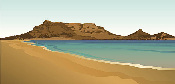
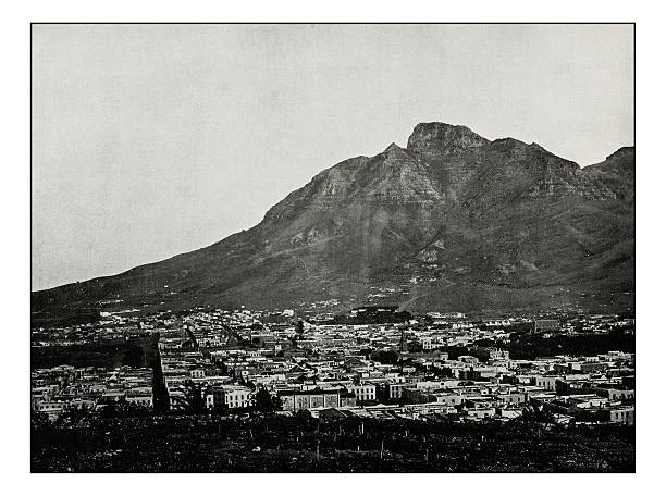
Table Mountain, just behind Cape Town, South Africa.
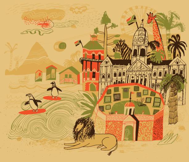
Vector file of hand drawn city Cape Town in South Africa

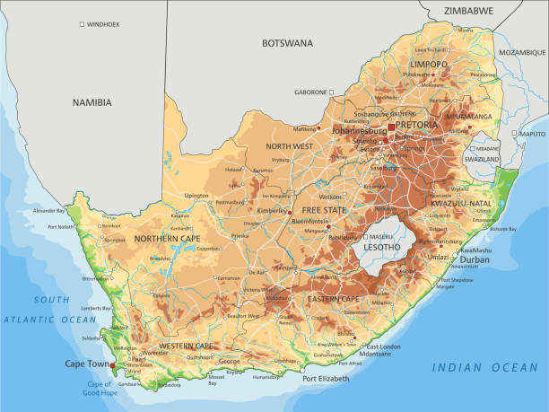
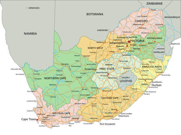
High detailed South Africa physical map with labeling. Organized vector illustration on seprated layers.
Landmarks of Cape Town. Set of monochrome icons. Editable vector illustration.

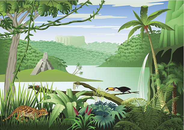
Jungle landscape in south america with a big river and table mountains. In the foreground an ocelot, a toucan and many plants. Left side in the background, a Mayan temple. Download contains EPS 8, AI 8, PDF, JPEG (8434 x 5964px).

Vector illustration - Money up

Vector file of hand drawn city Cape Town in South Africa
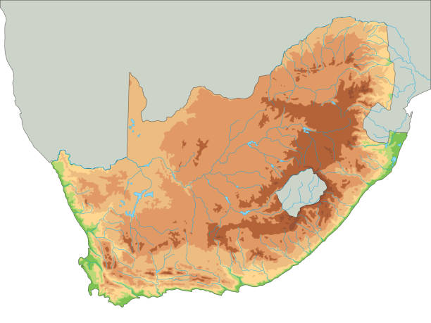
High detailed South Africa physical map. Organized vector illustration on seprated layers.

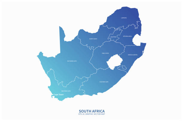
South Africa - Highly detailed editable political map with labeling. Organized vector illustration on seprated layers.
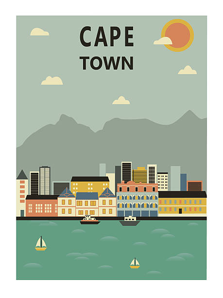
Cape Town in South Africa. Vector illustration
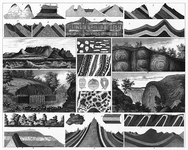
Engraved Illustrations of Rock and Valley Formations and Stratification from Iconographic Encyclopedia of Science, Literature and Art, Published in 1851. Copyright has expired on this artwork. Digitally restored.
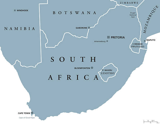
South Africa political map with the capitals Pretoria, Bloemfontein and Cape Town. With national borders and neighbor countries. Gray illustration with English labeling on white background. Vector.
South Africa - Highly detailed editable political map with labeling. Organized vector illustration on seprated layers.
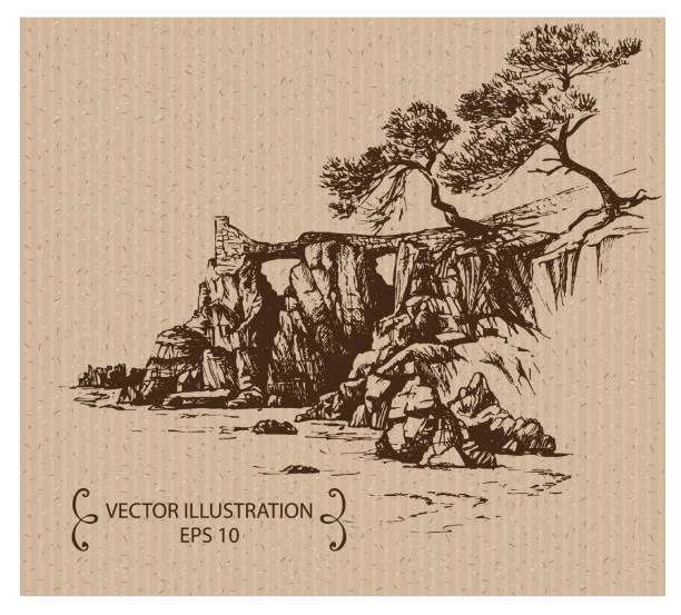
Hand drawn illustration
south africa vector map.

The famous outline of Table Mountain, in Cape Town, South Africa, with the other features of the mountain range - Devil's Peak, Lion's Head and Signal Hill. This is the classic view from the north across Table Bay.

south africa vector map.

Landmarks of Cape Town. Set of color icons in Metro style. Editable vector illustration.

Hand drawn illustration

Vector Tropical Beach and Huts

The Cape Floristic Region near the southern tip of South Africa - the smallest of the six recognised floral kingdoms of the world - is an area of extraordinarily high diversity and endemism and is an Unesco World Heritage Site. Chromolithograph after a drawing by Ernst Heyn (German painter and illustrator, 1841 - 1894), published in 1891.
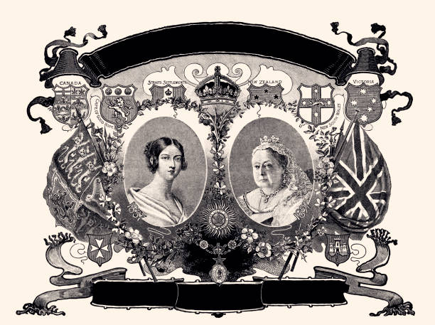
QUEEN VICTORIA; NEW DIAMOND JUBILEE 1897. Vintage etching circa late 19th century

High detailed map оf South Africa with navigation icons.
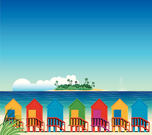
Vector Tropical Beach and Huts

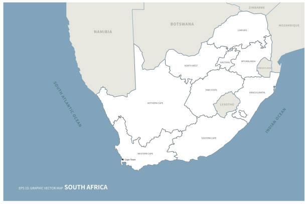
South Africa, gray political map with nine provinces, with largest cities, and borders. Republic and southernmost country in Africa, with the three capitals Pretoria, Cape Town and Bloemfontein.
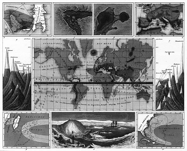
Engraved Illustrations of Volcanic and Hurricane Charts; Craters; and Antarctica from Iconographic Encyclopedia of Science, Literature and Art, Published in 1851. Copyright has expired on this artwork. Digitally restored.
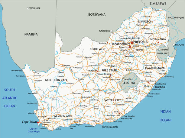
High detailed South Africa road map with labeling. Organized vector illustration on seprated layers.
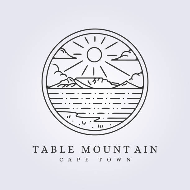
table mountain cape town vector illustration design simple line art emblem badge template background
Highly Detailed South Africa Silhouette map. Organized vector illustration on seprated layers.

Cape town city made from different parts in bright colors, Vector illustration
Landmarks of Cape Town. Set of monochrome icons. Editable vector illustration.

High detailed South Africa road map with labeling. Organized vector illustration on seprated layers.
south africa vector map.
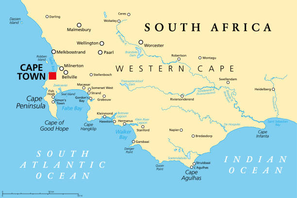
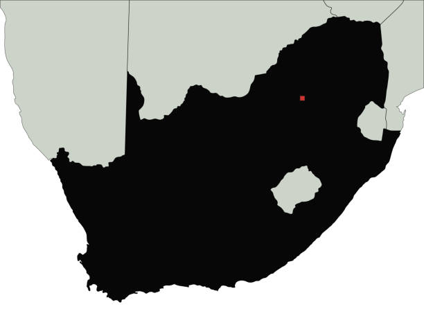
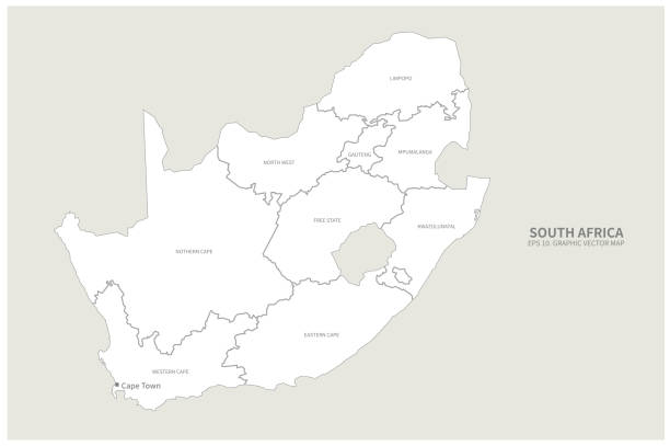
Cape of Good Hope, a region in South Africa, political map. From Cape Town and Cape Peninsula, a rocky headland on the South Atlantic coast, to Cape Agulhas, the southern tip of the continent Africa.

photographed from a book titled the 'National Encyclopedia', published in London in 1881. Copyright has expired on this artwork. Digitally restored.
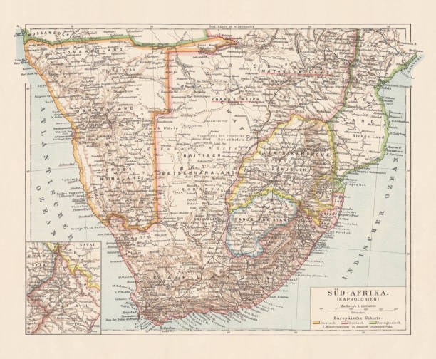
Topographic map of South Africa during the Dutch and British colonial era as well as Namibia (Deutsch-Südwestafrika) during the German colonial era at the end of the 19th century. Lithograph, published in 1897.
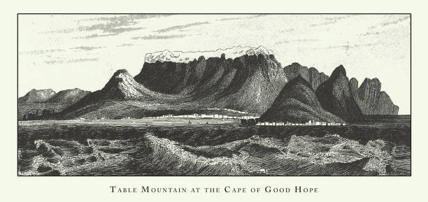
Table Mountain at the Cape of Good Hope, Rock and Valley Formations and Stratification Engraving Antique Illustration, Published 1851. Source: Original edition from my own archives. Copyright has expired on this artwork. Digitally restored.
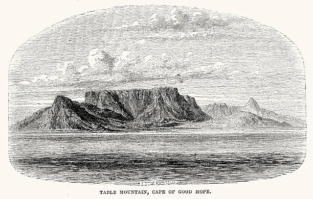
Vintage engraving of Table Mountain, Cape of Good Hope. 1873

illustration of The bontebok (Damaliscus pygargus) is an antelope found in South Africa, Lesotho and Namibia.
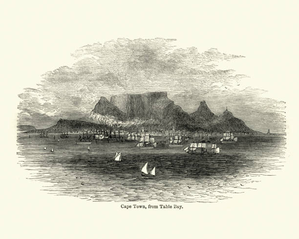
Vintage engraving of a View of Cape Town, from Table Bay, 19th Century

The Heliometer in the Royal Observatory (1820 - 1971), Cape of Good Hope, Cape Town, South Africa. An Heliometer is an optical instrument originally developed for measuring the variation of the sun diameter at different seasons. Wood engraving, published in 1897.

Illustration from 19th century.
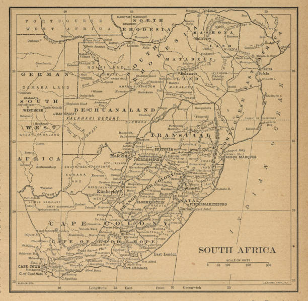
Very Rare, Beautifully Illustrated Antique Victorian Engraved Colored Map of South Africa Antique Victorian Engraved Colored Map, 1899. Source: Original edition from my own archives. Copyright has expired on this artwork. Digitally restored.
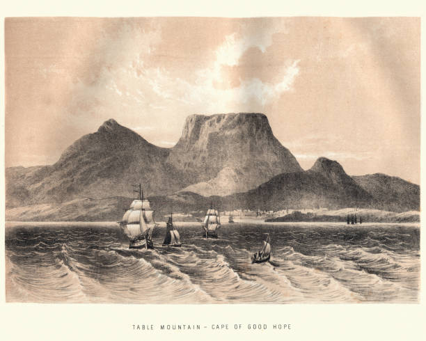
Vintage engraving of Table Mountain, Cape of Good Hope, 19th Century
Antique illustration
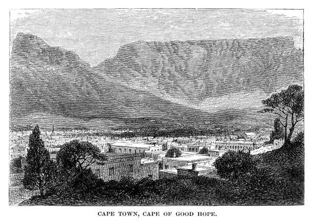
Cape town, Cape of Good Hope - Scanned 1880 Engraving

The cliffs of North Cape (Nordkapp) in Finnmark, Norway. Vintage halftone etching circa late 19th century.

High detailed South Africa road map with labeling. Organized vector illustration on seprated layers.

High detailed South Africa road map with labeling. Organized vector illustration on seprated layers.

south africa vector map.
south africa vector map.
