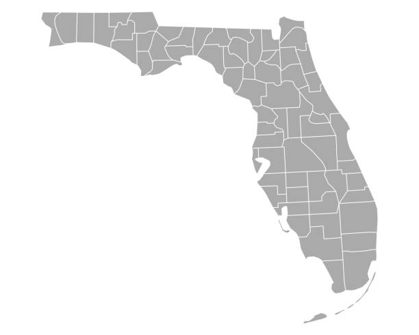
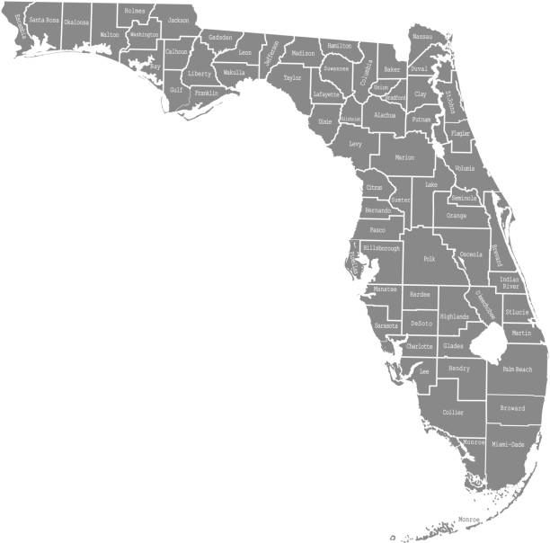
Vector outline map of Florida state divided into counties
Browse 9,400+ florida map stock illustrations and vector graphics available royalty-free, or search for florida map vector or state of florida map to find more great stock images and vector art.
Vector outline map of Florida state divided into counties
Florida map dark silhouette isolated on white background

Florida state counties, gray political map. Florida, a state in the Southeastern region of the United States, subdivided into 67 counties. Map with boundaries and county names. Illustration. Vector
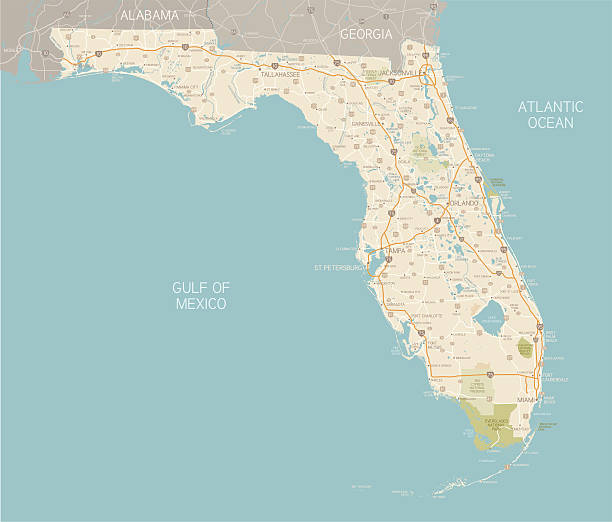
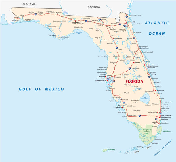
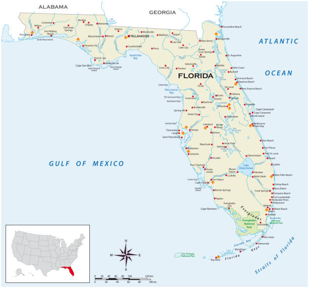
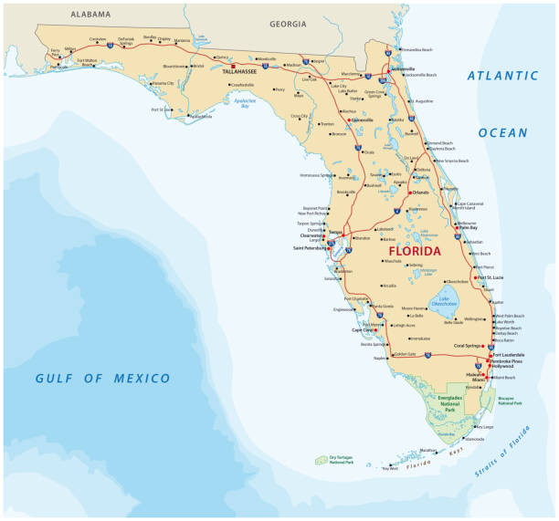
A detailed map of Florida state with cities, roads, major rivers, and lakes plus National Parks and National Forests. Includes neighboring states and surrounding water.

Colorful illustrated map of Florida state, USA, with animals, famous symbols, landmarks. Vector illustration for travel banners, posters, books, graphic prints
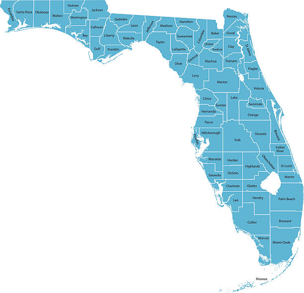
Highly detailed map of Florida , Each county is an individual object and can be colored separately.

Regions of U.S. state Florida, multi colored map showing travel regions, subregions, cities, and major destinations. State in Southeastern United States with capital Tallahassee. Isolated illustration
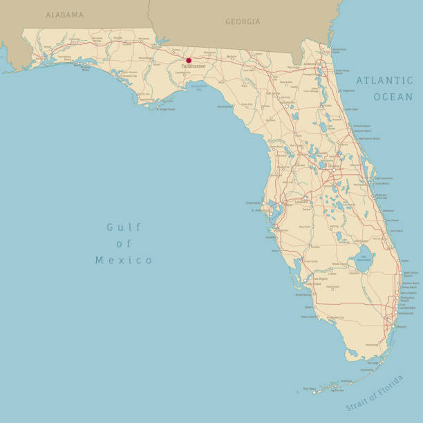
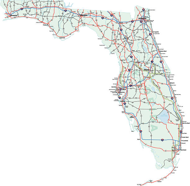
Road map of Florida, US American federal state. Editable highly detailed Floridian transportation map with highways and interstate roads, rivers and cities realistic vector illustration
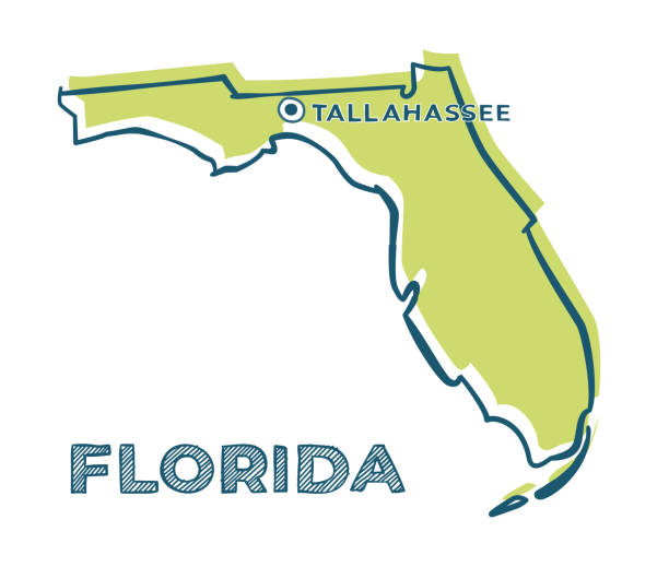
Doodle vector map of Florida state of USA. With legends of state and capital
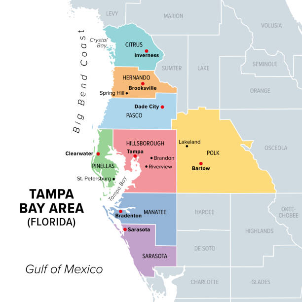
Tampa Bay area, Florida, United States, multi colored political map. Major metropolitan area surrounding Tampa Bay on the Gulf Coast of Florida. Map with counties, their capitals, and major cities.
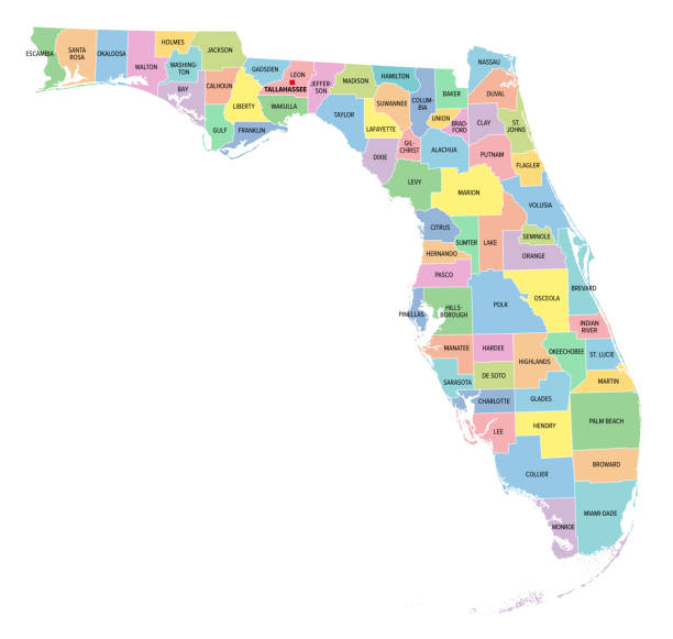
Florida, U.S. state, multi colored political map with borders, county names and its capital Tallahassee. Florida, a state in the Southeastern region of the United States, subdivided into 67 counties.

"Vector illustratio of map of Florida with major roads, rivers and lakes."
Abstract image Florida map from point blue and glowing stars on a dark background. vector illustration.
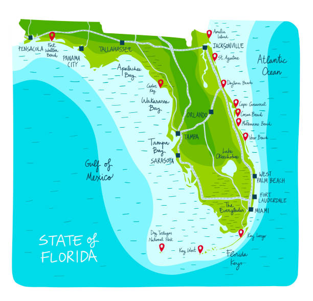
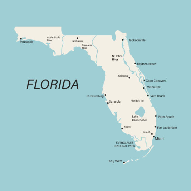
Hand Drawn map of the state of Florida with main cities and point of interest. Colorful flat style

Florida county map outline vector in gray color

Outline of U.S. state Florida divided into counties. State in the Southeastern region of United States, subdivided into 67 counties. Map with county boundaries and names. Black and white illustration.
Vector illustration of a Greetings from USA retro postcard design layout with 3D vintage tourism style text design. State map. Red and blue color palette with American flag. All fonts outlined. Download includes vector eps and high resolution jpg.
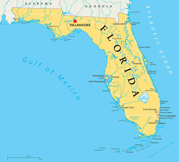
Florida political map with capital Tallahassee, borders, important places, rivers and lakes. State, located in the southeastern region of the United States. Illustration with English labeling. Vector.
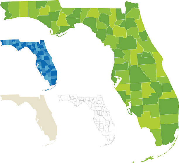
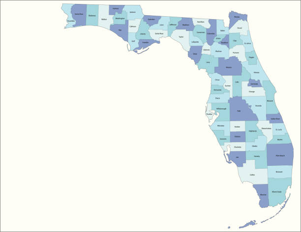
Highly-detailed Florida county map. Each county is in a separate labeled layer. All layers have been alphabetized for easy manipulation, recoloring or other use. (see image below -- note: labels only available in AICS2 and AI10 files)
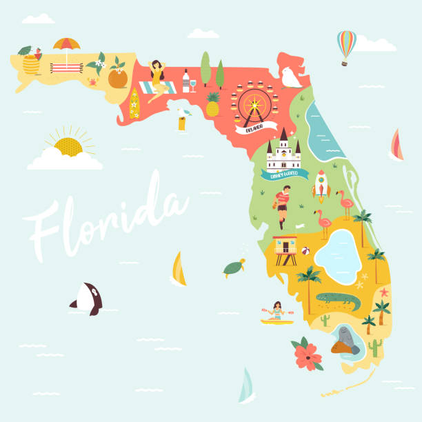
Illustrated map of Florida with monuments, fauna, flora. American state with symbols, cities and destinations. Bright design, banner, poster
Vector isolated illustration icon with simplified blue map's silhouette of State of Florida (USA). Polygonal geometric style. White background.
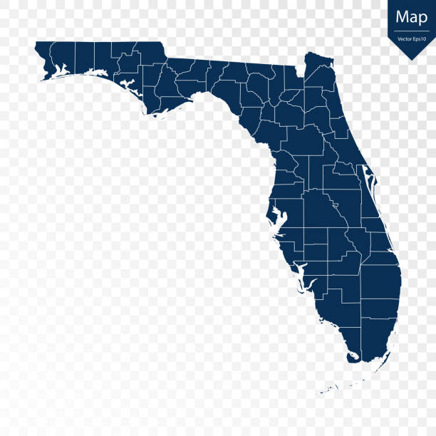
Transparent - High Detailed Blue Map of Florida. Vector eps10.
Blue map of Florida isolated on white background. Vector illustration eps10.
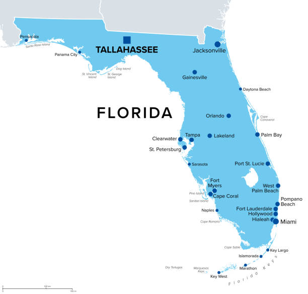
Florida, U.S. state, political map. State in the southeastern region of the United States with capital Tallahassee and largest cities. Nicknamed The Sunshine State. Isolated illustration. Vector.

Florida map shape, united states of america. Flat concept icon symbol vector illustration .
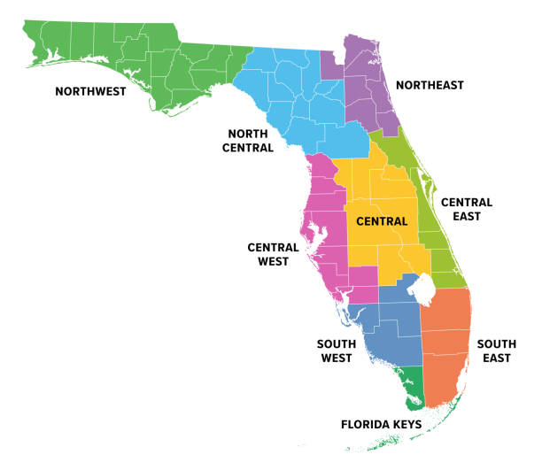
Regions of Florida, a state in the Southeastern United States, colored map. Frequently used division of the U.S. state into 9 main regions, and with boundaries of 67 counties. Isolated illustration.
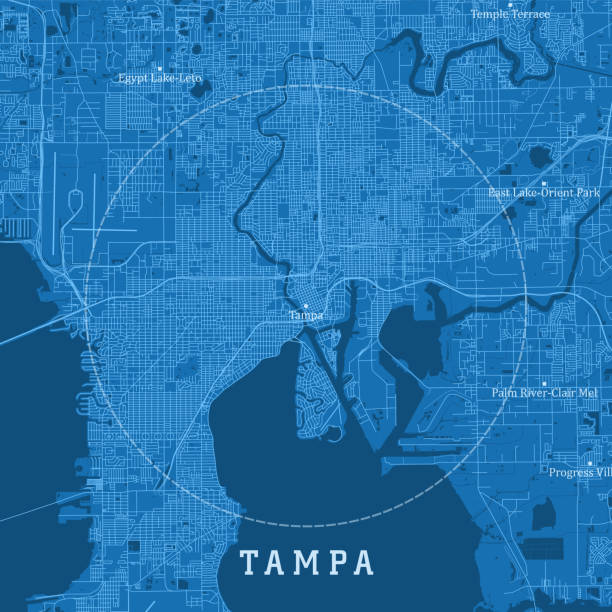
Tampa FL City Vector Road Map Blue Text. All source data is in the public domain. U.S. Census Bureau Census Tiger. Used Layers: areawater, linearwater, roads.

Florida state counties, political map. Florida, a state in the Southeastern region of the United States, subdivided into 67 counties. Map with boundaries and county names. Illustration. Vector
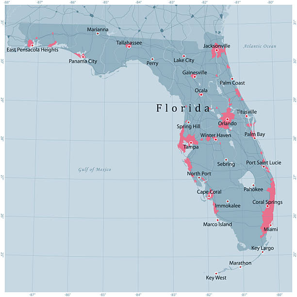
Florida US State Vector Road Map Grey. All source data is in the public domain. Roads, Water, Regions, Urban Areas: Made with Natural Earth.https://www.naturalearthdata.com/downloads/10m-physical-vectors/https://www.naturalearthdata.com/downloads/10m-cultural-vectors/
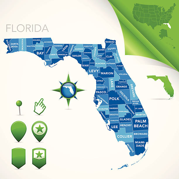
Highly-detailed Florida county map. Each county is in it's own separate labeled layer. County names are in a separate layer and can be easily adjusted or removed as well. All layers have been alphabetized for easy manipulation, recoloring or other use.
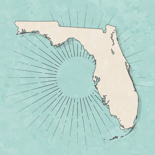
Map of Florida in a trendy vintage style. Beautiful retro illustration with old textured paper and light rays in the background (colors used: blue, green, beige and black for the outline). Vector Illustration (EPS10, well layered and grouped). Easy to edit, manipulate, resize or colorize.

Florida Raster Watercolor Map Illustration in Green and Teal Watercolor Tones