Kanagawa Prefecture stock illustrations
Browse 1,100+ kanagawa prefecture stock illustrations and vector graphics available royalty-free, or search for kanazawa or young adult to find more great stock images and vector art.
Most popular
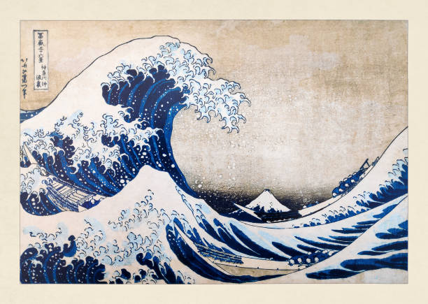
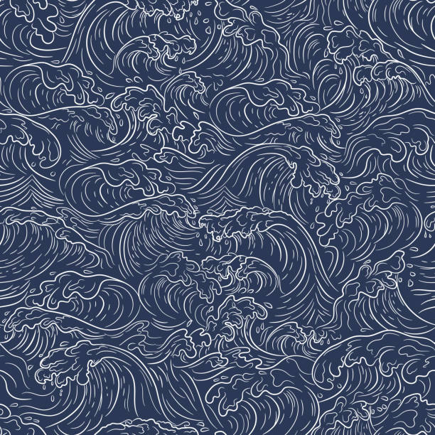
Illustration of the "The Great Wave of Kangawa" by Katsushika Hokusai published on December 1st, 1884 in the monthly magazine "Paris illustré".
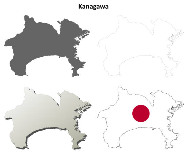
High Quality map of Kanagawa is a prefecture of Japan with borders of the districts
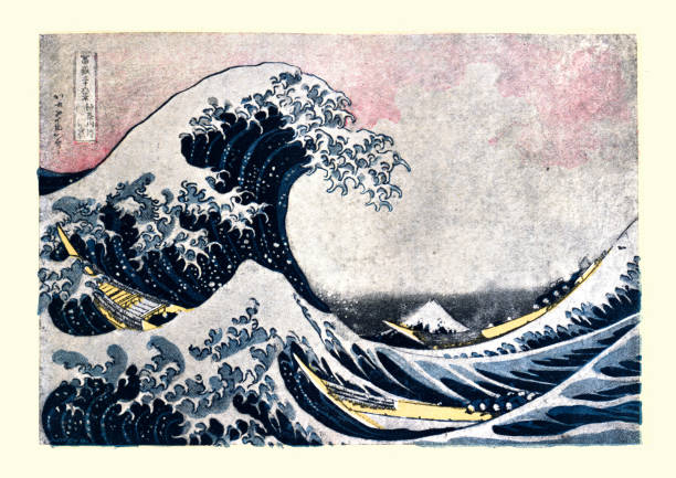
Vintage illustration of The Great Wave off Kanagawa after Hokusai. The Great Wave off Kanagawa, also known as The Great Wave or simply The Wave, is a woodblock print by the Japanese ukiyo-e artist Hokusai.

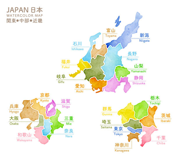
japan region vector map.
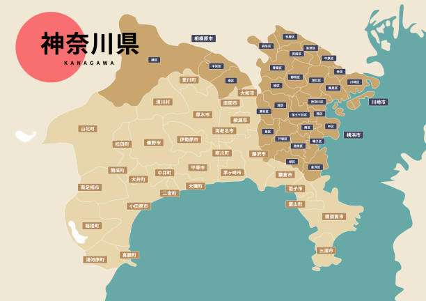
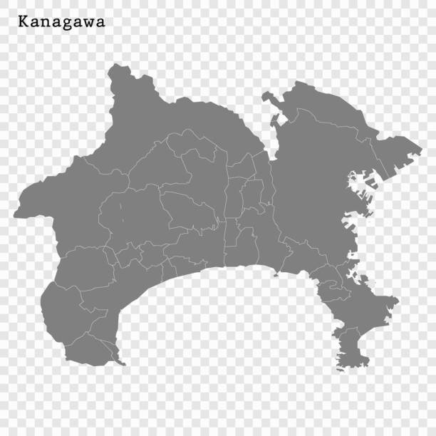
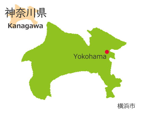
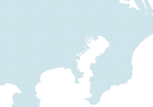
Map of Kanagawa prefecture in Japan. With place name.

Japanese style seamless great wave in a vintage style, vector illustration. Horizontally repeatable.
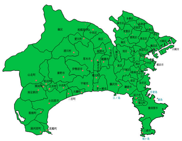
Kanagawa Map Green Illustration.
Kanagawa Prefecture (Administrative divisions of Japan, Prefectures of Japan) map vector illustration, scribble sketch Kanagawa map


Simple white map of Kanagawa Prefecture, simplified line drawings, local name and location

Vector illustration
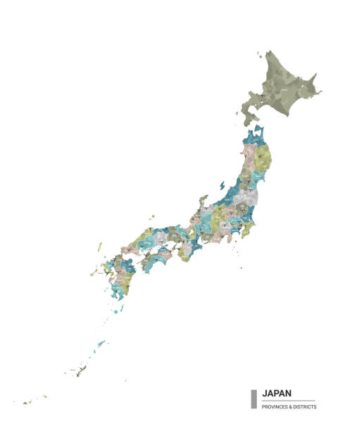
Vector maps of Japan with variable specification and icons
Kanagawa prefecture blank detailed outline map set
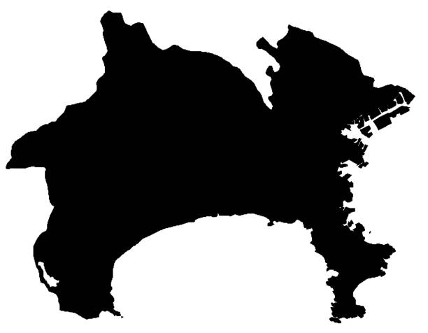
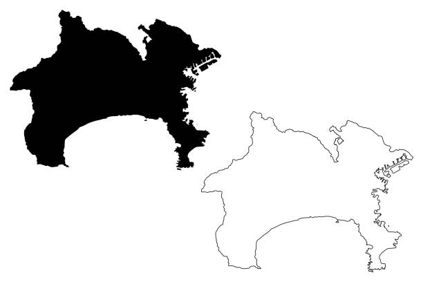
Kanagawa Map Black Illustration.
3d map of Kanagawa is a prefecture of Japan
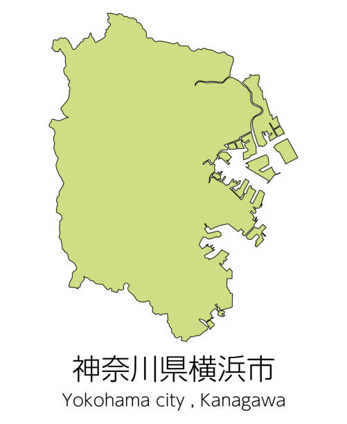

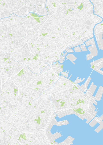
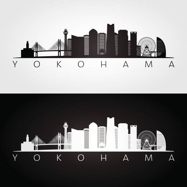
High quality Map Yokohama City. vector illustration

Japanese style seamless great wave in a vintage style, vector illustration. Horizontally repeatable.

Vector illustration

Simple outline map of Kanagawa is a prefecture of Japan. Stylized minimal line design

Illustration of great waves with stork, mountains view and sun, Japanese style

Vector illustration


Mount Fuji and great sea wave in Japan, Japanese traditional art symbol vector illustration. Cartoon cute landscape, mountain Fuji peak, ship in blue water, travel to Japan scene isolated on white
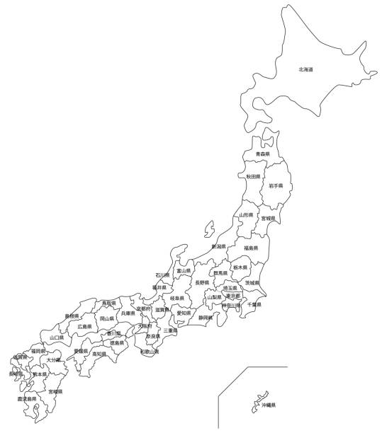
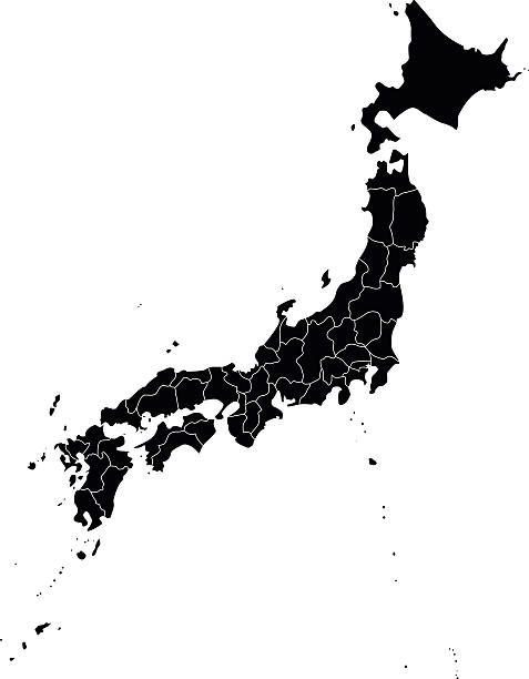
Japan White Map (with Prefecture Name) Monochrome
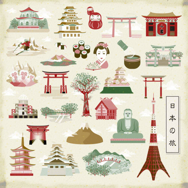
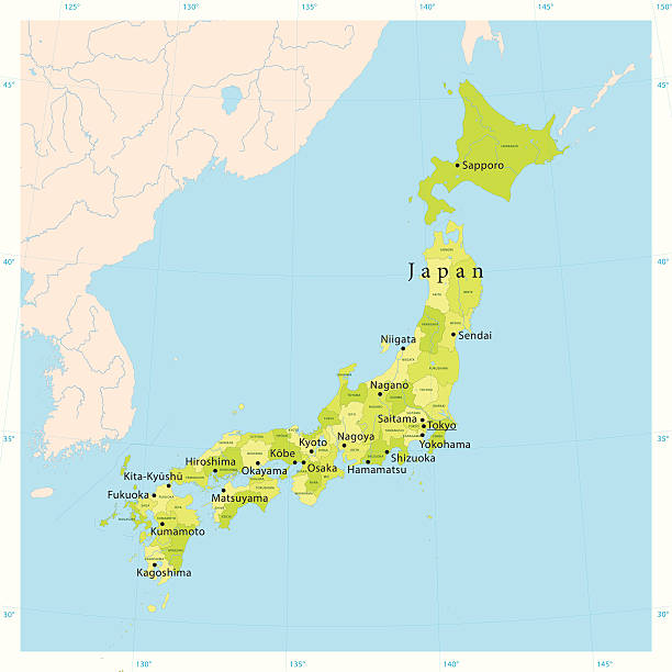
wonderful Japan travel collections - Japan travel in Japanese on lower left

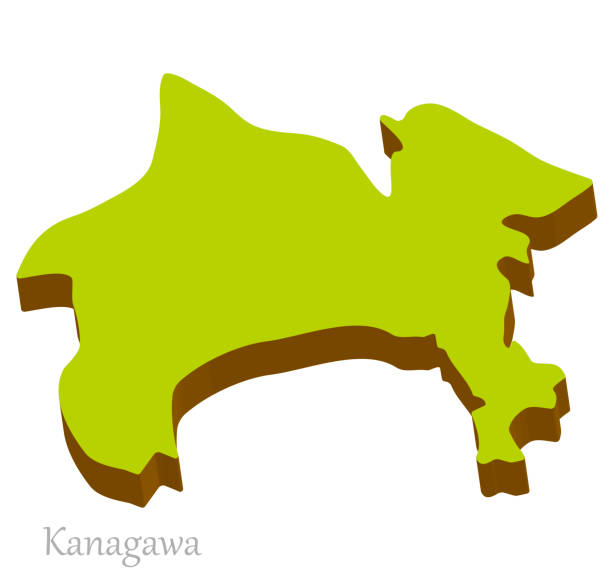
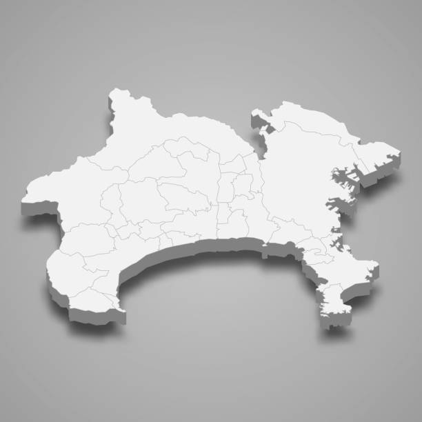
Three-dimensional map of Kanagawa Prefecture in Japan, simple and natural


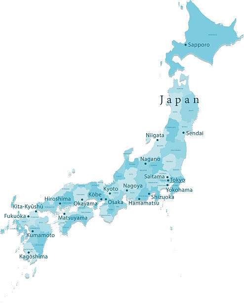
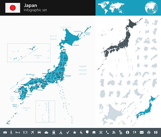
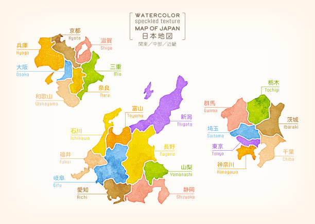
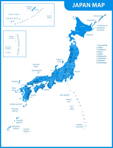
"Detailed vector map of Japan with administrative divisions. File was created on November 6, 2012. The colors in the .eps-file are ready for print (CMYK). Included files: EPS (v8) and Hi-Res JPG (4775aa aaa 5600 px)."


Vector Design - eps10 Colorful Building and City, Urban cityscape of Japan, Abstract Japan City scene, Twilight in city
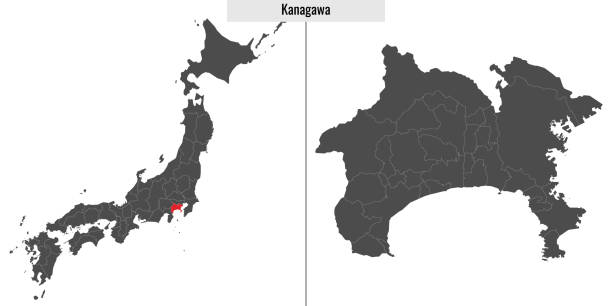
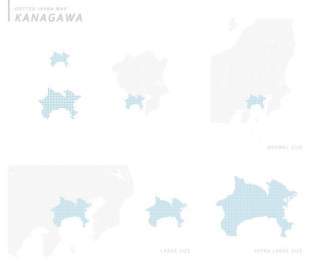
map of Kanagawa prefecture of Japan and location on Japanese map
It is an illustration of a set (line drawing(WB)) of a couple in a kimono and an icon of Kamakura's famous sightseeing in Kanagawa, Japan.
"Highly detailed vector map of Japan. File was created on August 23, 2012. The colors in the .eps-file are ready for print (CMYK). Included files: EPS (v8) and Hi-Res JPG (5600 x 5600 px)."

Yokohama City Map (Divided by Ward)

Japan - Retro Map
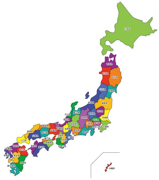
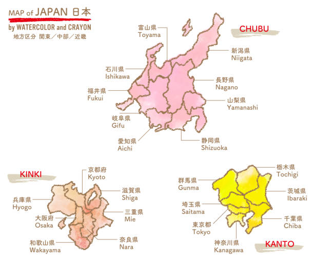
Map of Japan (by Prefecture - With Letters)
japan region vector map.


Detailed map of Japan.
Flat line design style vector illustration icons set and logos of top tourist attractions, historical buildings, towers