West China stock illustrations
Browse 450+ west china stock illustrations and vector graphics available royalty-free, or search for shanghai or west covina to find more great stock images and vector art.
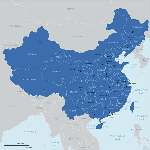
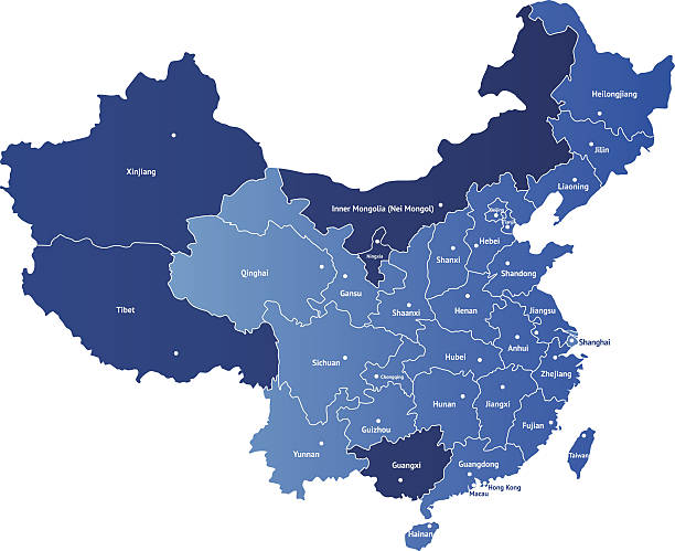
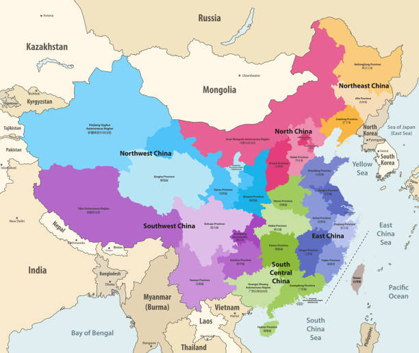
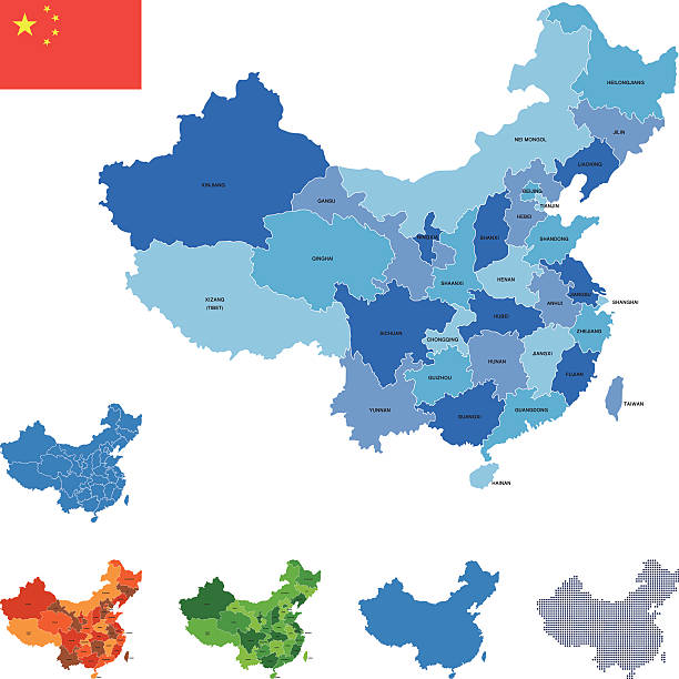
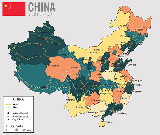
Highly detailed vector map of China with regions, capital and big cities.
Map of China. Chinese administrative districts and divisions.
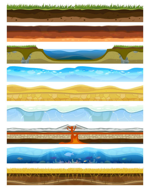
Landscape earthy slice soil section mountains with water geological land underground field nature cross land ground vector illustration. Ecology agriculture layer square piece cross section.

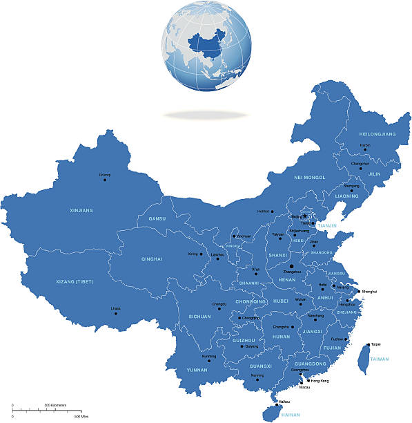
Highly detailed vector map of China with regions, capital and big cities
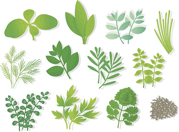
Herbs (12 Varios,
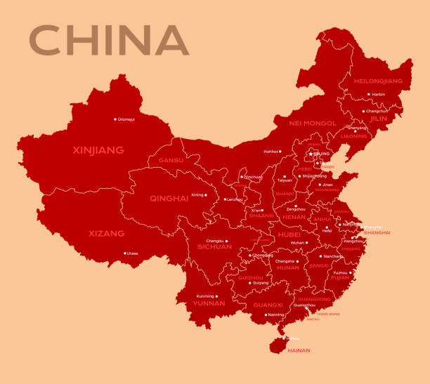
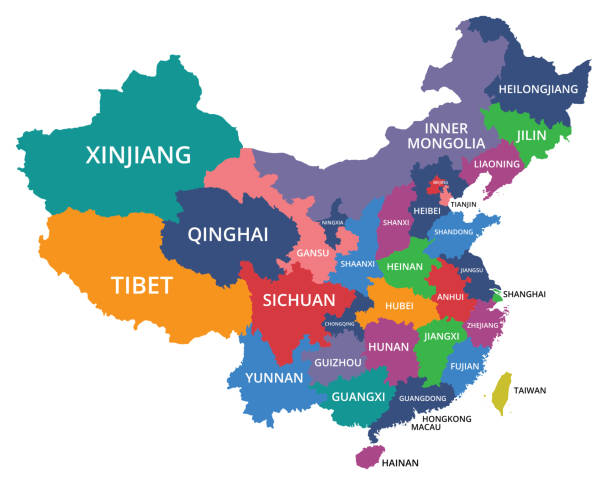
Detailed vector map of China with the names of the provinces. Each of provinces you can separate and use as individal map.
Great for any print or web projects :biggrin:
EPS 10 and JPEG

Vector green grass herb and flowers nature isolated on white background design template elements illustration. Summer grass texture land season natural grassy plants.
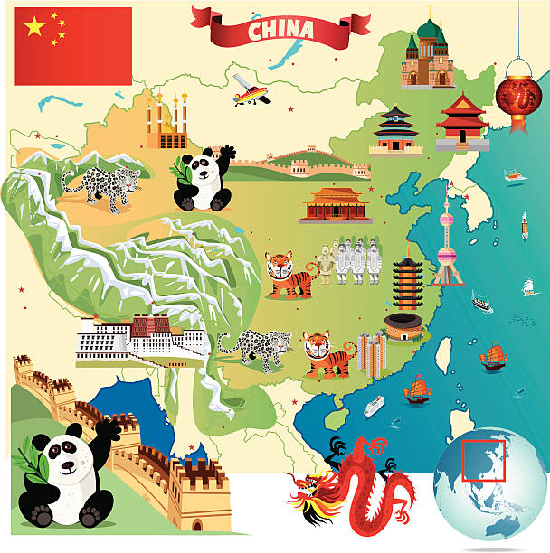
Cartoon map of China
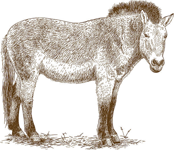
Vector antique engraving illustration of Przewalski horse isolated on white background
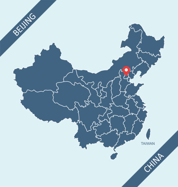
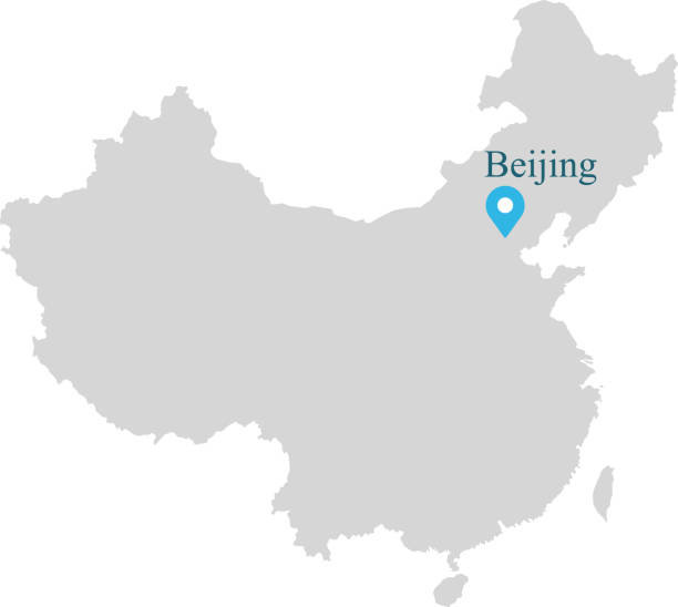
Highly detailed downloadable and printable map of China with its capital location, Beijing, for web banner, mobile, smartphone, iPhone, iPad applications and educational use. The map is accurately prepared by a map expert.
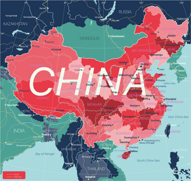
Vector of Detailed Map of China Source file : http://legacy.lib.utexas.edu/maps/middle_east_and_asia/txu-pclmaps-oclc-747676570-china_admin-2011.jpg

Image shows a muffin in watercolor-style; vectorimage; only one layer including, wihout opening shapes; big jpeg (350DPI); better for white backgrounds!

Gate of the Fort Tangy-Shahr, five miles from Kashgar, Eastern Turkestan (today China). Wood engraving, published in 1882.

This vector map is accurately prepared by a GIS and remote sensing expert with highly detailed information.

Map of China, separated with municipality, province, autonomous region and special administration region.
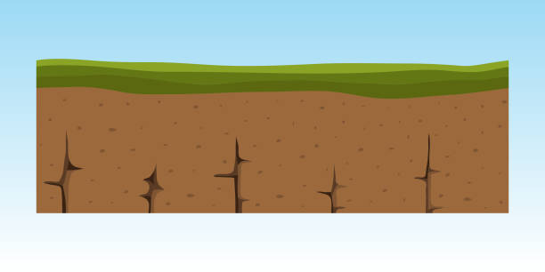
Cross section ground slice isolated some piece nature outdoor ecology underground and freestanding render garden natural geologist earth vector illustration. Ecology agriculture crosssection.

Simple flag of East Turkestan. Correct size, proportion, colors

This vector map of China country has been accurately made by a graphic designer who has a postgraduate degree in GIS and remote sensing. You can use this map to show your study site of a project.

Poster style topographic / Road map of Dongguan, China. Map data is open data via openstreetmap contributors. All maps are layered and easy to edit. Roads are editable stroke.
Highly detailed map of China for your design and products.
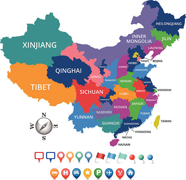
China country detailed editable map with regions cities and towns, roads and railways, geographic sites. Vector EPS-10 file

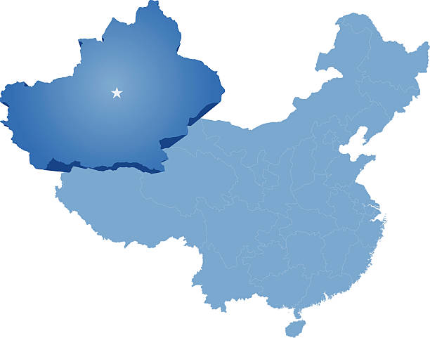
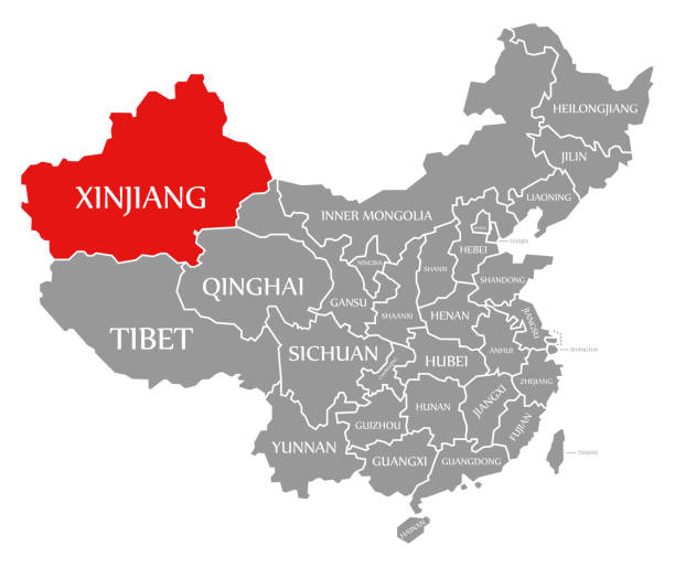
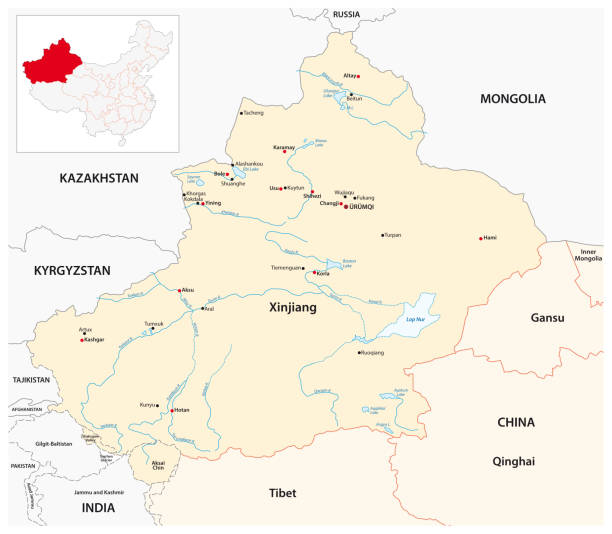
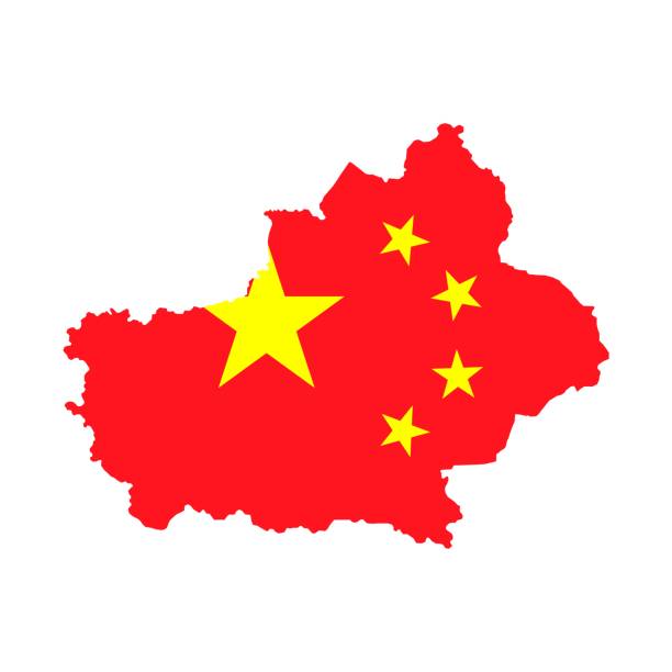
Map of People's Republic of China where Xinjiang Uyghur Autonomous Region province is pulled out
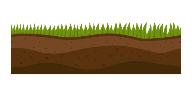
Cross section ground slice isolated some piece nature outdoor ecology underground and freestanding render garden natural geologist earth vector illustration. Ecology agriculture crosssection.

Detailed 3D vector map of China. The map was divided into separate layers. Included Zip with AI file with the names of the provinces.
Investment diversification, financial strategy solution, budget fund cut plan icon, share hold, compound interest, divide money, vector illustration
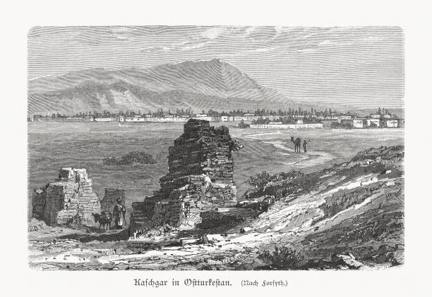
Historic view of Kashgar (Xinjiang) - one of the westernmost cities of China. As strategically important city on the Silk Road, Kashgar has served as a trading pos between China, the Middle East, and Europe for over 2,000 years. Wood engraving, published in 1897.

China country map outline vector illustration with scales of miles and kilometers, borders of states or provinces and their names, and capital location and name, Beijing
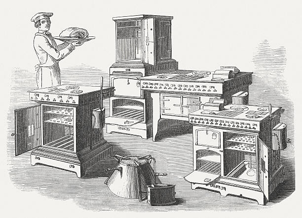
Vintage gas stoves. Woodcut engraving, published in 1854.
China map with provinces. All territories are selectable. Vector illustration
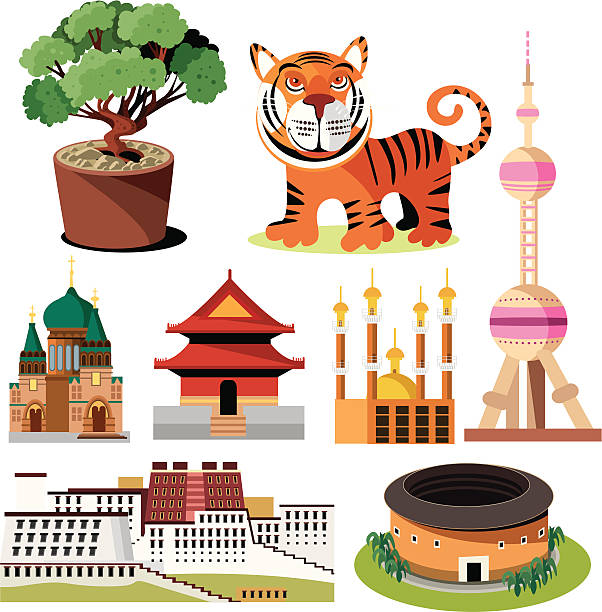
Vector illustration China symbols

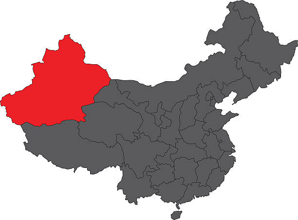
Xinjiang uyghur highlighted on china map. Gray background. Perfect for business concepts, backgrounds, backdrop, poster, sticker, banner, label and wallpaper.


Topographic / Road map of Dongguan, China. Map data is open data via openstreetmap contributors. All maps are layered and easy to edit. Roads are editable stroke.

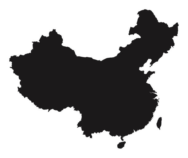
Map of China. Chinese administrative districts and divisions.


Map regions of China. Vector eps10

Map of Xinjiang drawn in chalk on a green chalkboard with chalk traces. Vector Illustration (EPS10, well layered and grouped). Easy to edit, manipulate, resize or colorize.

This abstract dotted China map is accurately prepared using the overlaid vector map of the China with highly detailed information. The map is prepared by a GIS and remote sensing specialist.

Cross section ground slice isolated some piece nature outdoor ecology underground and freestanding render garden natural geologist earth vector illustration. Ecology agriculture crosssection.
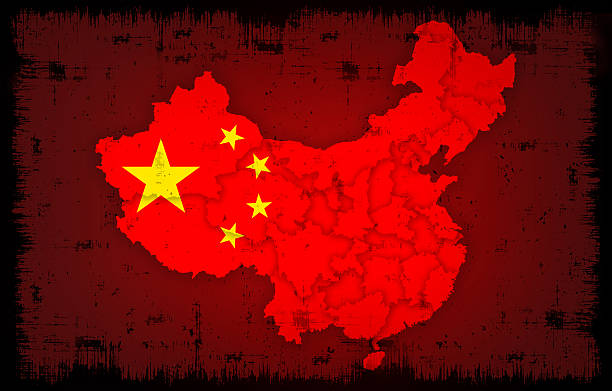
raster illustration of china flag and map with grunge background…

Vector illustration

Vector illustration of interior element. Kitchen cabinet with drawers
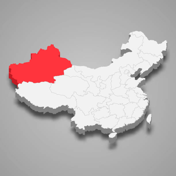
Xinjiang province location within China 3d map
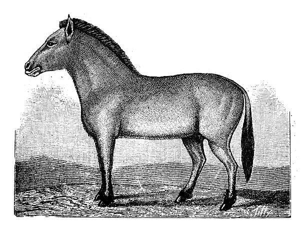
Antique illustration of Przewalski's horse (Equus ferus przewalskii) or Dzungarian horse
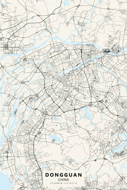
Poster style topographic / Road map of Dongguan, China. Map data is open data via openstreetmap contributors. All maps are layered and easy to edit. Roads are editable stroke.

Green grass border plant lawn nature meadow ecology summer gardening vector illustration. Environment turf herb lush natural foliage growth.