
Cartographer stock illustrations
Browse 10,600+ cartographer stock illustrations and vector graphics available royalty-free, or search for cartographer computer or cartographer vector to find more great stock images and vector art.
Topographic map seamless pattern, topography line map. Vector stock illustration.
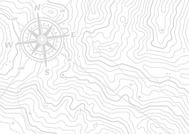
Topographic compass map horizontal background isolated on white with space for your copy. EPS 10 file.
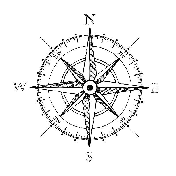
Compass wind rose hand drawn design element
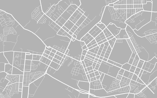
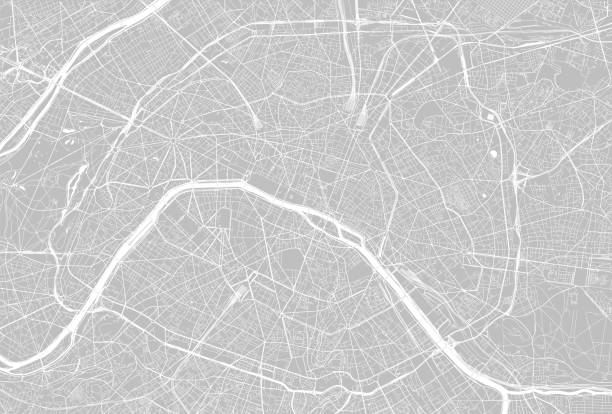
City map. Scheme of town streets. Gps line navigation plan. Black line road on white isolated background. Urban pattern texture. Vector
Map and compass line concept icon. Map and compass flat vector website sign, outline symbol, illustration.
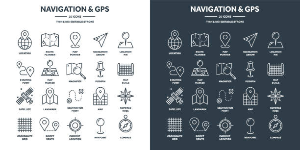
Navigation map and geolocation, GPS positioning. Coordinate grid quadrants, cardinal points, location finder. Travel route and waypoints planning. Thin line web icons set. Vector illustration.

Medieval Astronomer and Cosmographist, German, 16th Century
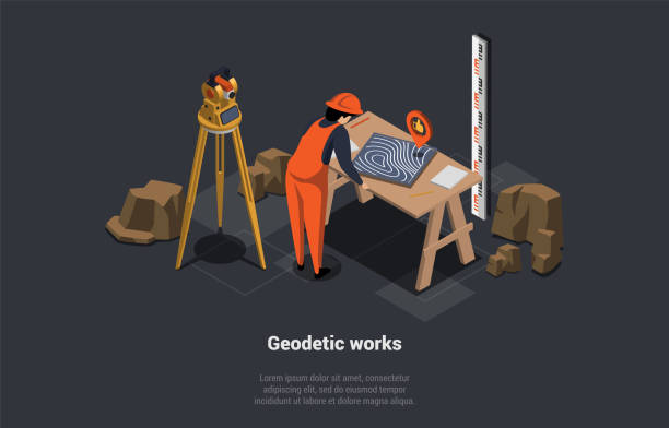
Construction Business, Geodetic Works. Cadastral Engineer Cartographer Worker In Uniform At Workplace. Map Making, Real Estate Project. Geodesy Topographic Equipment. Isometric 3d Vector Illustration.
The illustration was completed July 20, 2013 and created in Adobe Illustrator CS6.
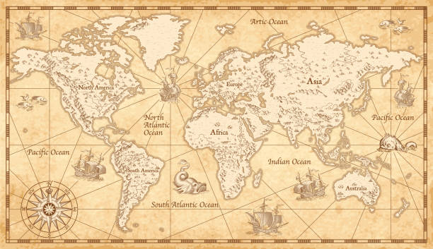

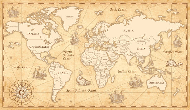
Vintage map of the world from 1837
3d Map pointer icon. Map Markers. Vector illustration
Vector Map isolated on white background


Imaginary cadastral map of territory with buildings, roads and land parcel - land registry concept illustration - Note: the map background is totally invented and does not represent any real place.

Wind rose hand drawn illustration. Marine objects collection.
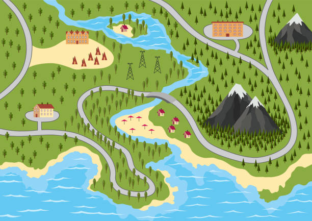
Suburban map with houses, trees, road, river and mountain. Village with water, aerial view. GPS, city navigation with roads and buildings. Vector illustration in flat style.
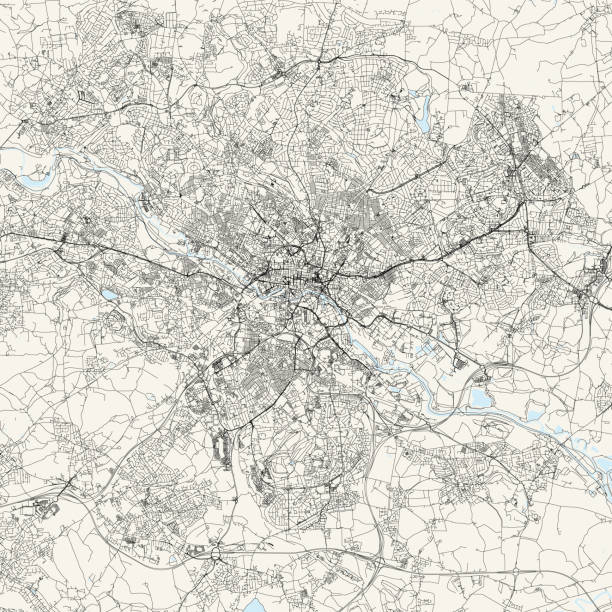
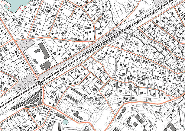
Topographic / Road map of Leeds, United Kingdom. Map data is open data via openstreetmap contributors. All maps are layered and easy to edit. Roads are editable stroke.

Geography teacher with world globe. Female school professor vector illustration
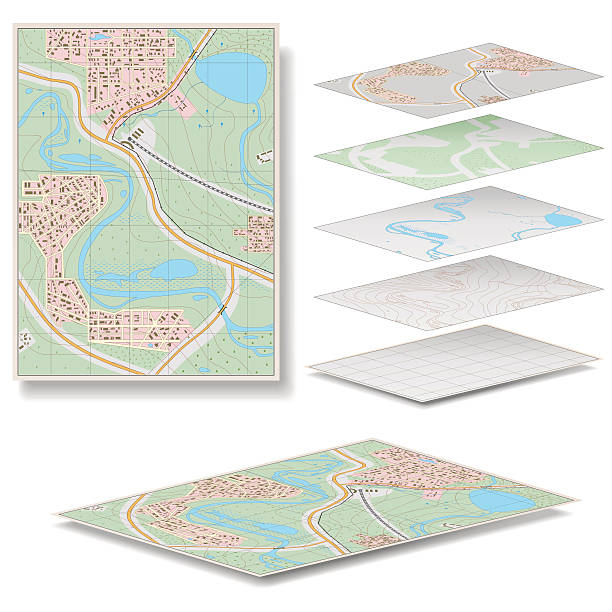
Editable vector street map of town. Vector illustration.

Flat vector landscape with a picture of the nature and landscape of mountains and lakes, road junction GPS navigation infographic 3d isometric concept.
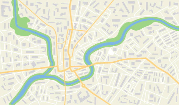
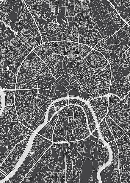
City map with gps. Seamless pattern texture with street, road, river, land, park roadmap of city. Urban plan for topography, geography, guidance and travel. Abstract navigation wallpaper. Vector.

Steel engraving of Gérard Mercator
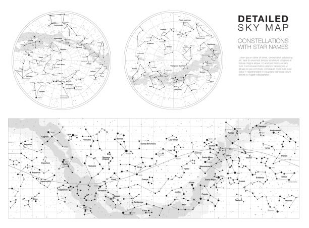
High detailed sky maps vector set with names of stars and constellations
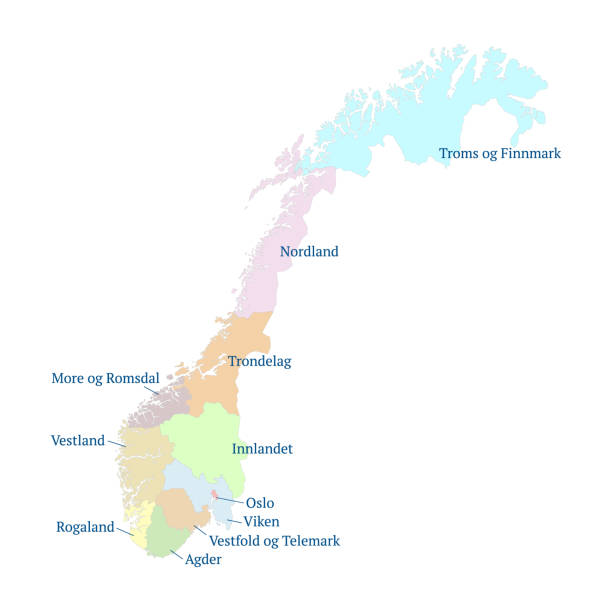
Norway vector map. Administrative divisions and counties force on 1 January 2020. All isolated on white background. Template for design and infographics. Vector illustration.
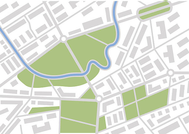
Imaginary plan a residential area of private housing. Quarter residential low-rise buildings. Vector illustration


Topographic contour map with marker. Map pattern with mountain texture and grid. Route map. Travel in the mountains


Construction surveyor flat vector illustration. Builder, cadastral engineer cartoon character. Young man in hard hat working with total station theodolite. Building industry, angle measuring equipment

Vintage portrait of Captain James Cook, British explorer, navigator, cartographer, and captain in the Royal Navy.

Vintage engraving of a Victorian ships captain and navigator planning their voyage 1894
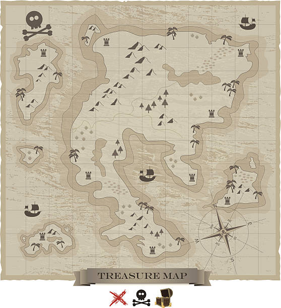
Ancient pirate treasure map isolated on white background. EPS10 file with transparancy. AI file is included.


map of the U.S. state of Pennsylvania

Map of Nevada on white background. Vector.

map of the U.S. state of Wisconsin

Detailed in high resolution Map Of The People's Republic Of China. Vector illustration.


Abstract topographic contour in lines and contours. Curve modern lines. Graphic concept for your design.

Surveyor woman working with theodolite outdoor on the background trees and city. Engineer girl with surveyor equipment. Smiling worker cartoon flat character. Vector illustration isolated on white.

vector black map of United Arab Emirates

Russia country black silhouette and with flag on background, isolated on white

map of the U.S. state of Utah

Map of Australia on vector background

System of Geography for the use of schools by Sidney E. Morse - Published by Harper & Brothers - New York 1855

illustration of a Cartographer Gerardus Mercator with globe 1874
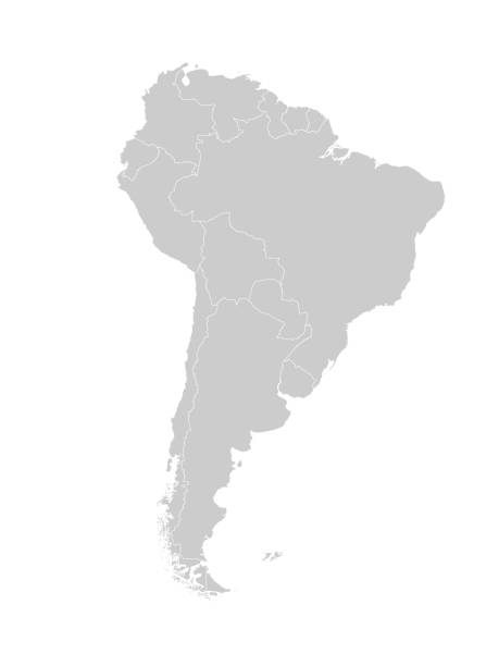
Map of South America with countries and borders. Vector illustration.


map of the U.S. state of Tennessee