
Images
California Coast Aerial Pictures, Images and Stock Photos
View california coast aerial videos
Browse 16,700+ california coast aerial stock photos and images available, or search for valley or grand canyon to find more great stock photos and pictures.
Most popular
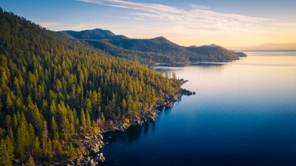
Aerial View of Lake Tahoe Mountains and Turquoise Blue Water, California, USA
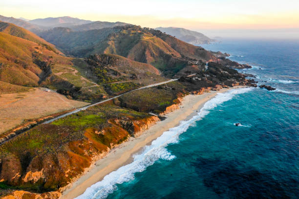
The pacific ocean at Big Sur, California

Aerial view of traffic moving on Golden Gate Bridge during sunset, San Francisco, California, USA.
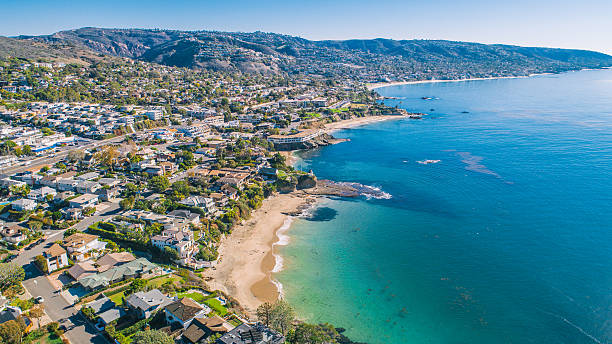
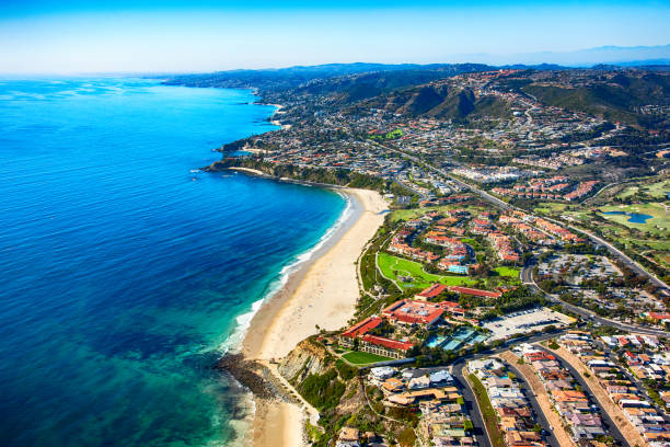
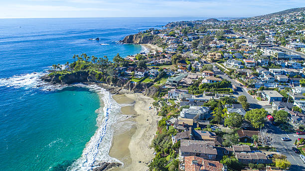
A view of the Main Beach Coastline in Laguna Beach, Southern California. Laguna Beach is a beach community that is a popular tourism destination and is located in Orange County.
Our creative library is free of AI-generated contentChoose your visuals with confidence knowing our creative library is free from AI-generated content, so your searches only return safe, high-quality visuals you can trust.

Coronado Bridge in San Diego California during golden hour with cars crossing the bridge and boats in San Diego Bay. United States of America famous city skyline

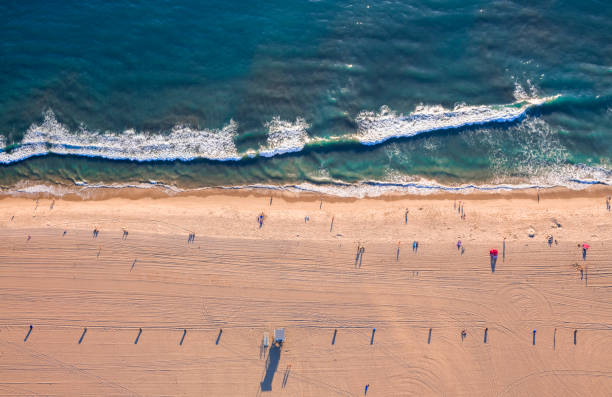
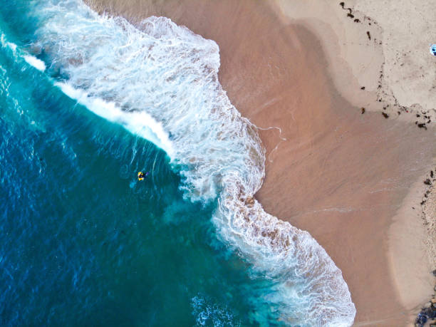
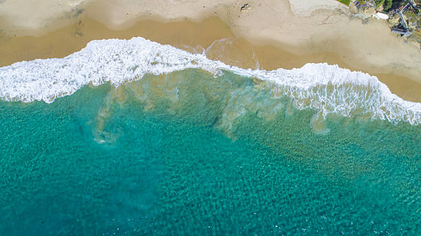
Aerial view of the beach, drone photography

An aerial view of Sausalito on a golden morning with the Golden Gate Bridge peaking over the hillside.
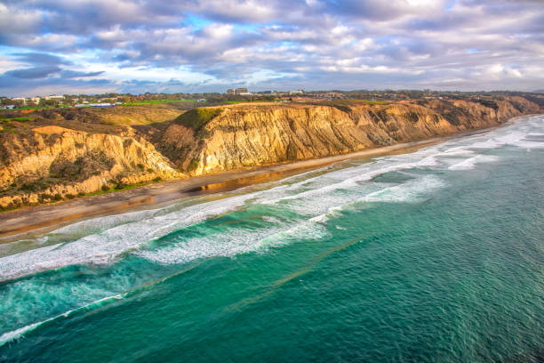
Aerial view of Monarch Beach located in Dana Point, California, in the southern portion of Orange County.
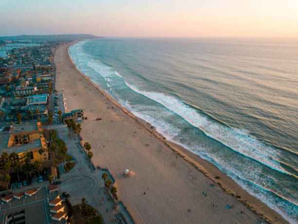
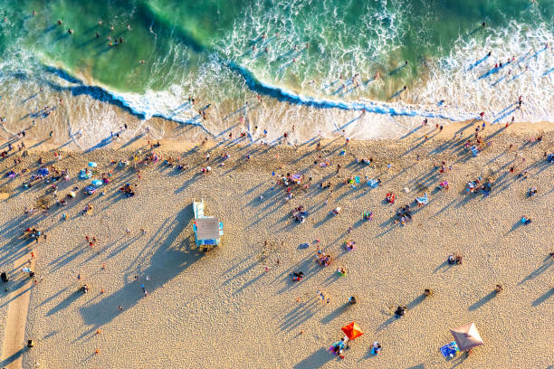
Aerial view looking down on Santa Monica beach near sunset

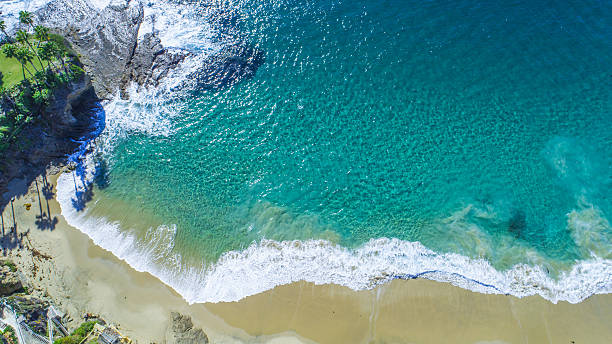
A view of Crescent Bay, Laguna Beach in Southern California

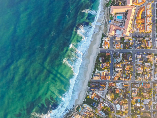
Aerial view of the coastal community of La Jolla, California approximately 10 miles north of downtown San Diego shot via helicopter from an altitude of about 300 feet over the Pacific Ocean.

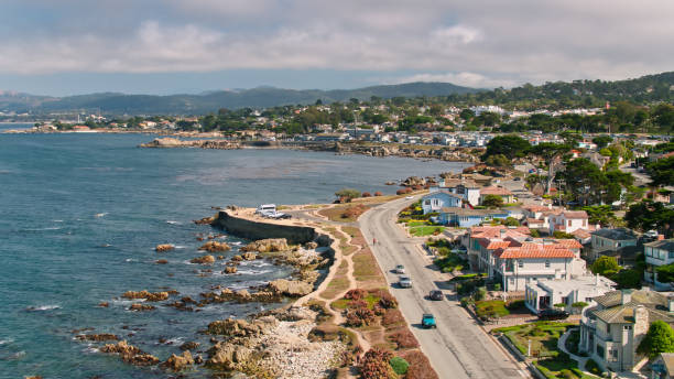
Aerial shot of Pacific Grove, a small city in Monterey County, California. Shot by FAA licensed drone pilot with permit from the City of Pacific Grove.


Wide angle aerial view of the homes along the beautiful coastal cliffs of Laguna Beach, California.

Pacific beach and the surrounding Mission bay in San Diego California aerial
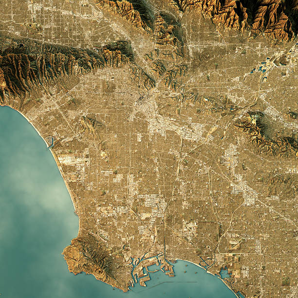
3D Render of a Topographic Map of Los Angeles, California, USA.
A view of Shaw's Cove and Crescent Bay in Laguna Beach, Southern California. Laguna Beach is a beach community that is a popular tourism destination and is located in Orange County.

Drone shooting in San Diego California, La Jolla Cove area, November 24, 2017
This stunning contrast of colors is only possible with a beautiful sunset and giant ocean.

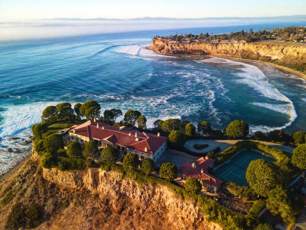
Luxurious South Orange County, California on a beautiful day

Drone aerial of northern California coast with forest and ocean

Aerial view of the beach in Santa Monica, CA

Drone shot of Del Mar train track with ocean in it
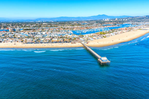
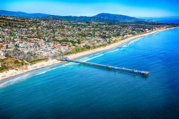
Aerial view of the beautiful Orange County California coastal town of Newport Beach from an altitude of about 1000 feet over the Pacific Ocean during a helicopter photo flight.
A view of Crescent Bay, Laguna Beach in Southern California

A Drone Shot Taken From the Jetty In Mission Bay San Diego
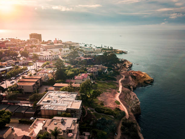
The seaside cliffs of the Torrey Pines area of La Jolla, California, a community of San Diego shot via helicopter from an altitude of about 500 feet over the Pacific Ocean.

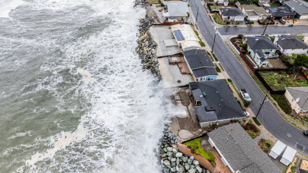
In the San Francisco Bay Area a Coastal Flood Advisory was issued for high astronomical tides potentially causing flooding for flood-prone, low-lying areas around the bay. Here in Pacifica, CA the pier was closed and damaged and roadways nearby were closed.

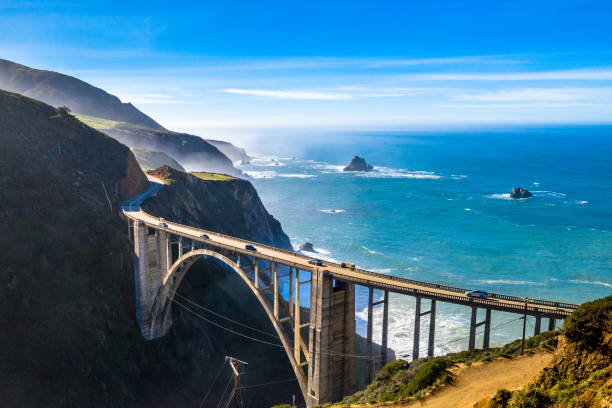
The iconic Bixby Bridge along the Big Sur coastline in California, where the rugged cliffs meet the Pacific Ocean. This breathtaking scenic landmark is one of the most famous spots along Highway 1 and a must-visit destination.

San Diego California is the southern most city in California right by the Mexico border. It is often referred to as America's Finest City due to it's pleasant yearly weather
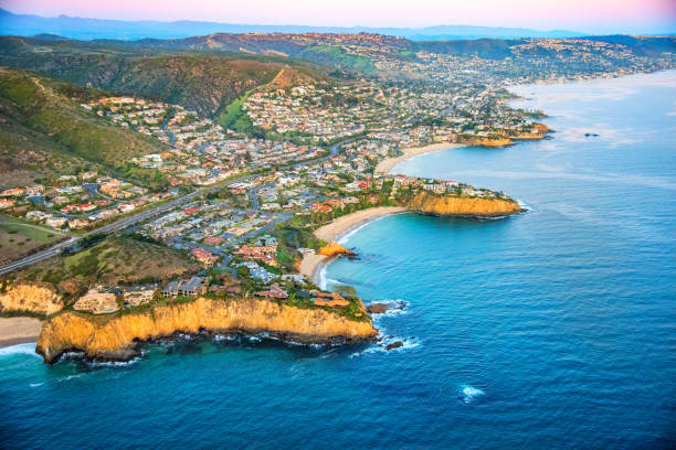
The Orange County California coastal town of San Clemente located just north of San Diego County.

San Diego Pacific beach aerial view, USA west coast


Aerial shot of lush green forest in Standish-Hickey State Recreation Area in Mendocino County, Northern California on a summer morning.

Aerial view of Soda Spring Creek on Big Sur coast in California, USA.
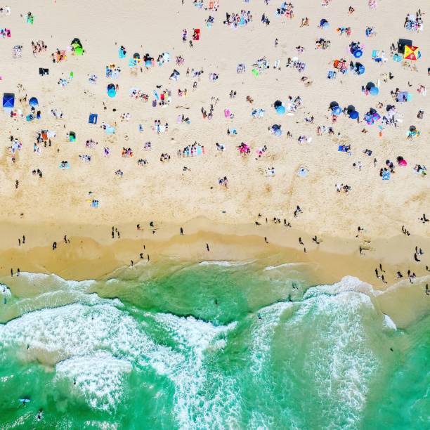
Ocean coastline aerial beach umbrella summer

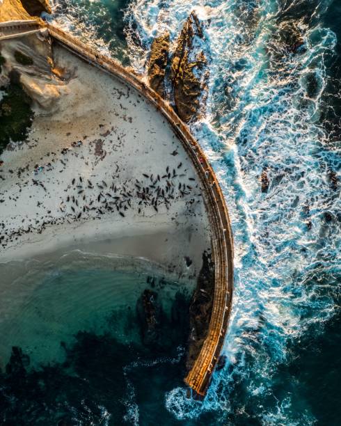
Aerial photo of Children's Pool La Jolla facing giant waves during the king tide event while the seals are sleeping on the beach in the sunny San Diego California
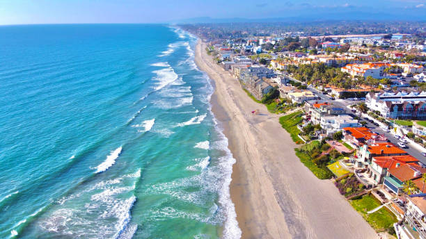
Beach shot from drone showing coast of California and homes along the sand

Aerial drone photography showing Windansea Beach and a neighborhood of homes in La Jolla, California. La Jolla is a town in San Diego, situated along the Pacific Ocean.

Morning light shines historic downtown Eureka, California, USA.
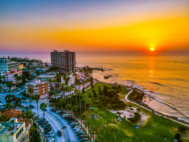
Aerial view of sunny La Jolla village in San Diego California with houses on the cliffs of Pacific ocean

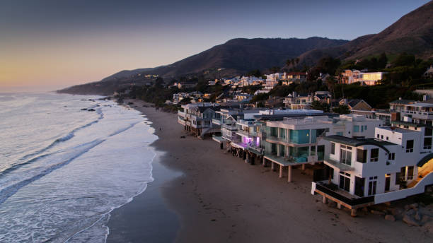
Aerial drone still from above the coastline in Malibu, California at sunset.
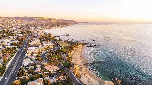
A view of the Main Beach Coastline in Laguna Beach, Southern California. Laguna Beach is a beach community that is a popular tourism destination and is located in Orange County.

View of the Western Shore of the Salton Sea and Salton City from the Air

The northern Orange County California city of Huntington Beach shot from an altitude of about 2000 feet over the Pacific Ocean.
of100Next