
Georgia Us State Illustrations stock illustrations
Browse 470+ georgia us state illustrations stock illustrations and vector graphics available royalty-free, or start a new search to explore more great stock images and vector art.
Most popular
Vector Southeast US Coast States travel stickers.
Square dots pattern map of Georgia. Dotted pixel map with flag isolated on white background. Vector illustration.
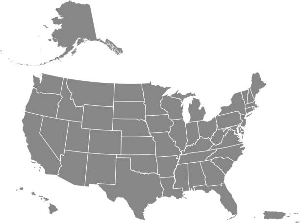
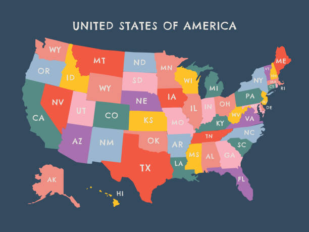
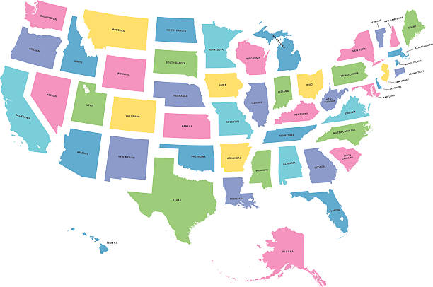
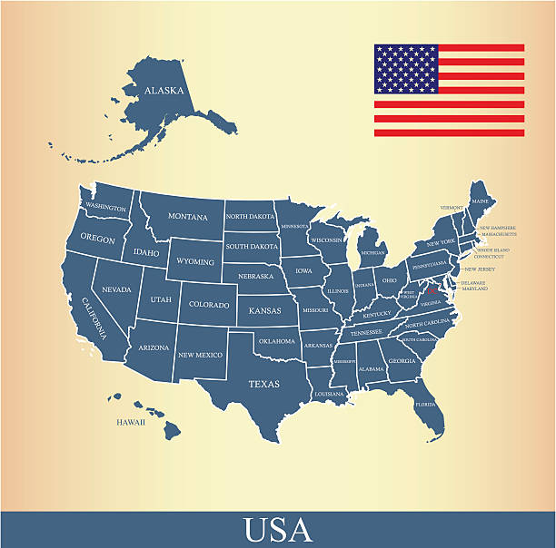
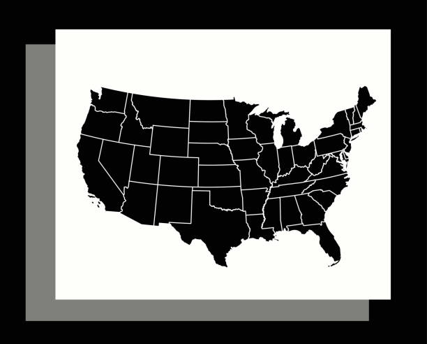
Downloadable map of United States of America. The spatial locations of Hawaii, Alaska and Puerto Rico approximately represent their actual locations on the earth.
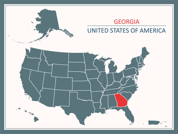
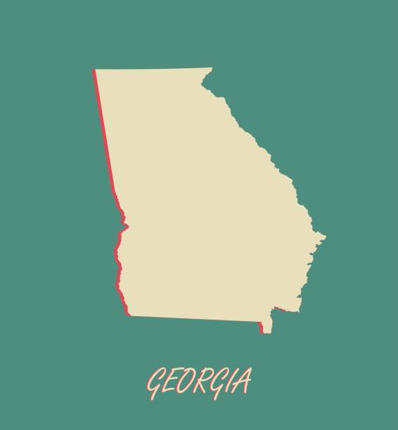
Downloadable map of Georgia state of United States of America. The spatial locations of Hawaii, Alaska and Puerto Rico approximately represent their actual locations on the earth.
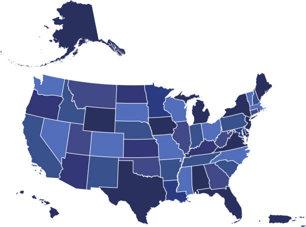
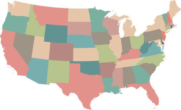
Downloadable blue color gradient map of United States of America. The spatial locations of Hawaii, Alaska and Puerto Rico approximately represent their actual locations on the earth.
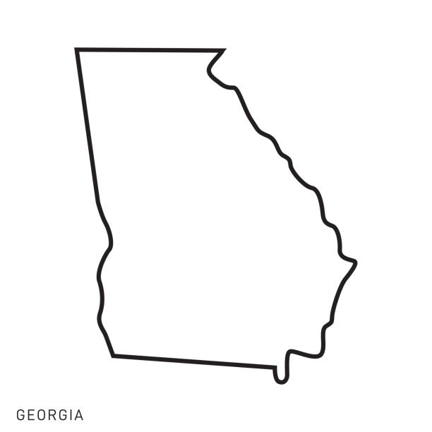
Georgia - States of USA Outline Map Vector Template Illustration Design. Editable Stroke. Vector EPS 10.
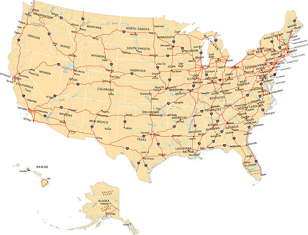
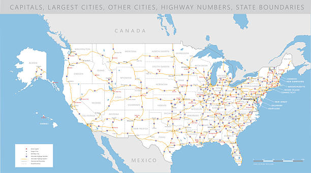
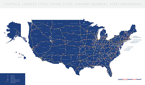
Highly detailed map of United States with roads, states, state capitals, important cities, rivers and major lakes.

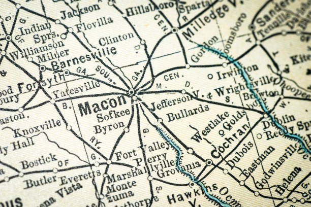
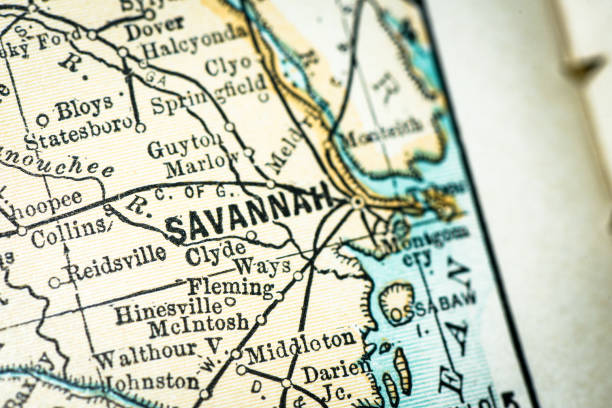
Macro shot on a US map from 1881 showing the state of Georgia. Taken with Canon 5D Mark II and Sigma Lens. Selective focus on the center of the image.
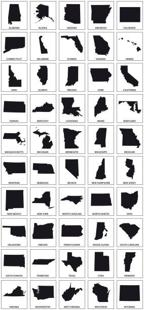
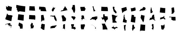
black silhouette maps of 50 us states.
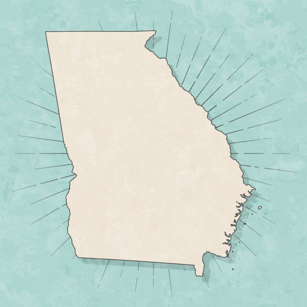
Map of Georgia (USA) in a trendy vintage style. Beautiful retro illustration with old textured paper and light rays in the background (colors used: blue, green, beige and black for the outline). Vector Illustration (EPS10, well layered and grouped). Easy to edit, manipulate, resize or colorize.
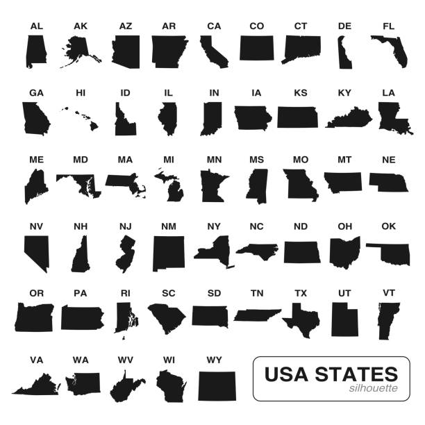
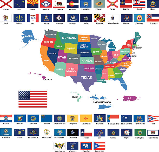
Editable vector of all 50 USA states maps black silhouette collection. Travel and commerce related concept illustration
highly detailed map of all fifty states of USA.
Downloadable map of United States of America
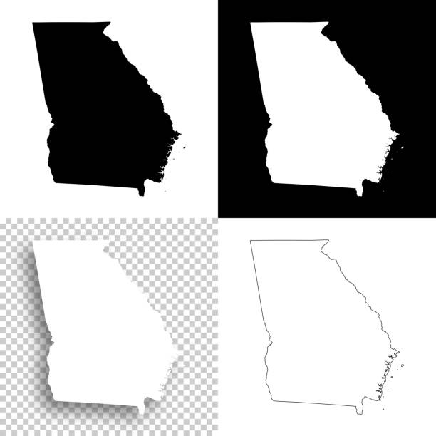
Map of Georgia for your own design. With space for your text and your background. Four maps included in the bundle: - One black map on a white background. - One blank map on a black background. - One white map with shadow on a blank background (for easy change background or texture). - One blank map with only a thin black outline (in a line art style). The layers are named to facilitate your customization. Vector Illustration (EPS10, well layered and grouped). Easy to edit, manipulate, resize or colorize. Please do not hesitate to contact me if you have any questions, or need to customise the illustration. http://www.istockphoto.com/portfolio/bgblue
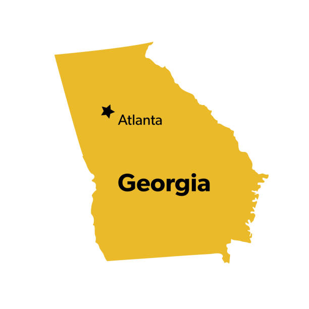
Isolated U.S.A State With Capital City
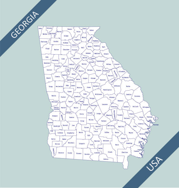
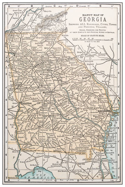
Highly detailed map of Georgia counties state of United States of America for web banner, mobile, smartphone, iPhone, iPad applications and educational use. The map is accurately prepared by a map expert.
High detailed USA interstate road map vector
High detailed USA interstate road map vector
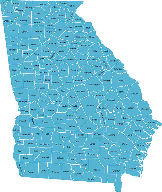
Highly detailed map of Georgia , Each county is an individual object and can be colored separately.
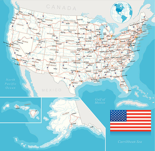
Highly detailed map of United States with roads, states, big cities, rivers and some other objects
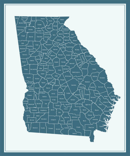
Downloadable county map of Georgia state of United States of America. The map is accurately prepared by a map expert.
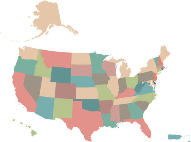
Highly detailed downloadable and printable colorful background of United States of America map with states borders editable. The spatial locations of Hawaii, Alaska and Puerto Rico approximately represent their actual locations on the earth.
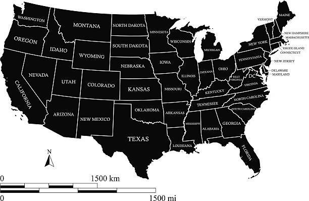
United States map vector outline with scales of miles and kilometers, states names, capital location and name, Washington DC, in black color
Vector Georgia luggage label or travel sticker.

Map of Georgia (USA) for your own design. Three maps with editable stroke included in the bundle: - One black map on a white background. - One line map with only a thin black outline in a line art style (you can adjust the stroke weight as you want). - One map on a blank transparent background (for change background or texture). The layers are named to facilitate your customization. Vector Illustration (EPS file, well layered and grouped). Easy to edit, manipulate, resize or colorize. Vector and Jpeg file of different sizes.
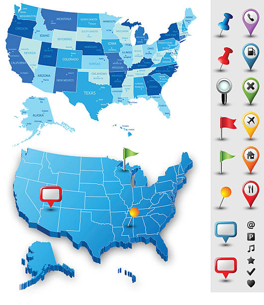
Vector USA map with pins. Download includes high resolution jpeg. All elements are separated in editable layers.
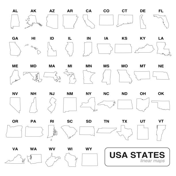
Editable vector of all 50 USA states line art maps collection. Travel and commerce related concept illustration
USA flag outline vector and United States map vector outline with states borders and names, capital location and name, Washington DC, in a creative design


Vector silhouette of Georgia in white with a drop shadow.
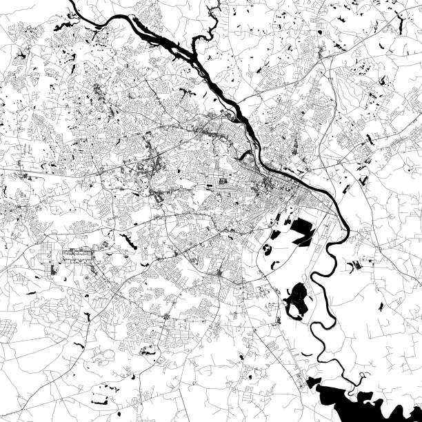
Topographic / Road map of Augusta, Georgia, USA. Map data is public domain via census.gov. All maps are layered and easy to edit. Roads are editable stroke.
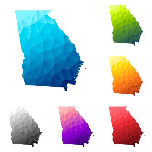
Set of 6 Georgia (USA) maps created in a Low Poly style, isolated on a blank background. Modern and trendy polygonal mosaic with beautiful color gradients (colors used: Blue, Green, Orange, Yellow, Red, Pink, Purple, Black, Gray). Vector Illustration (EPS10, well layered and grouped). Easy to edit, manipulate, resize or colorize.

The map is accurately prepared by a map expert.
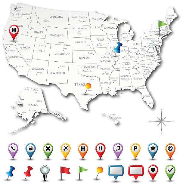
Vector USA map with pins. Download includes high resolution jpeg. All elements are separated in editable layers.
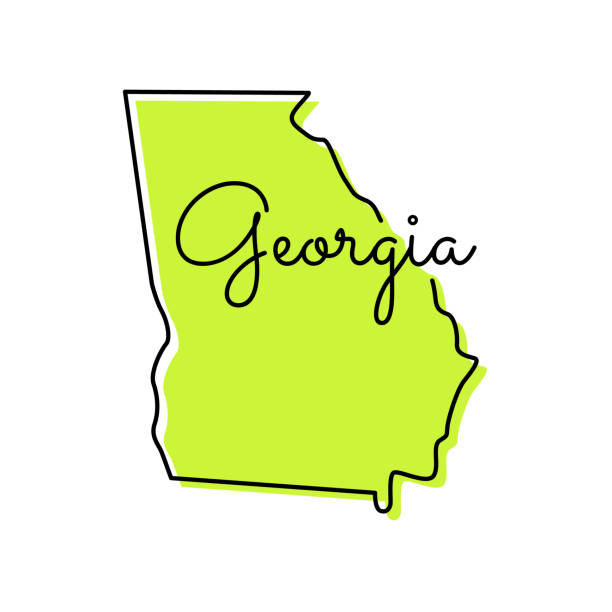
Georgia Map Vector Illustration Design Template. Vector eps 10.

The maps are accurately prepared by a GIS and remote sensing expert.
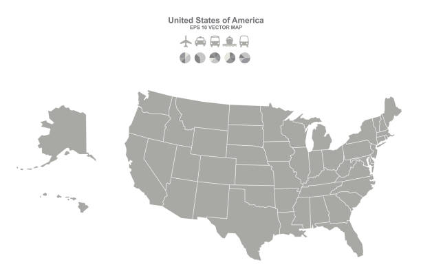
united states of america vector map. usa map.
This modern abstract design of USA map can be printed as a decoration on the wall.
A three dimensional vector background map of Georgia state of US

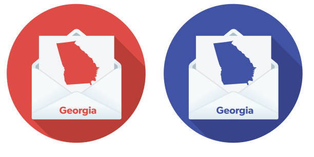
Distance or early voting by mail. Envelope contains one voter ballot with a state outline on it. File is CMYK color space and it comes with a large high resolution jpeg.
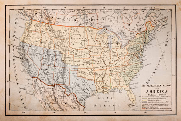
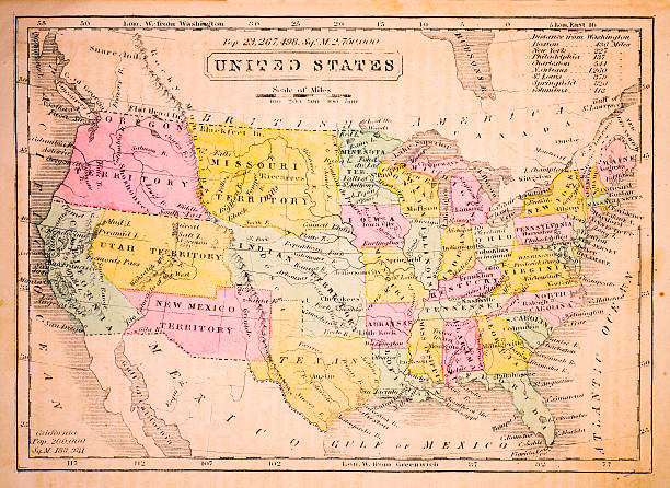
Illustration of a Old map of America

Map and Flag of Georgia (State of USA) Vector Stock Illustration Design Template. Vector eps 10

Vector flag with airplane. Travel background. Eps 10
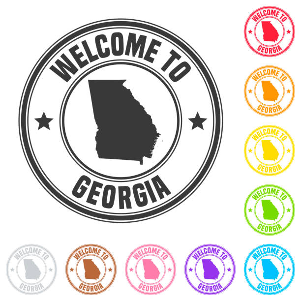
Stamp of "welcome to Georgia (USA)" isolated on a blank background. The stamp is composed of the map in the middle with the name below and "Welcome to" at the top, separated by stars. The stamp is available in different colors (Multi color choice: black, red, orange, yellow, green, blue, purple, pink, brown and gray). Vector Illustration (EPS10, well layered and grouped). Easy to edit, manipulate, resize or colorize.

White map of Georgia (USA) isolated on a gray background with a long shadow effect and in a flat design style. Vector Illustration (EPS10, well layered and grouped). Easy to edit, manipulate, resize or colorize.
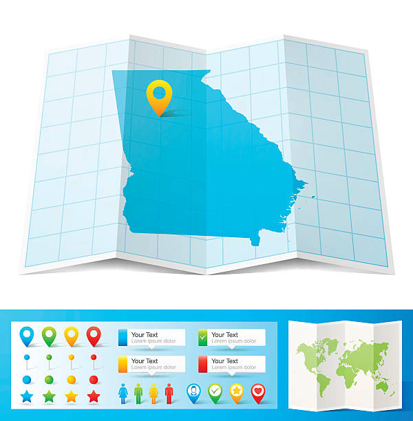
Map of Georgia folded with design elements, isolated on white background.
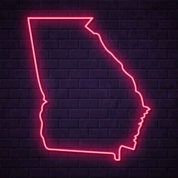
Map of Georgia (USA) in a realistic neon sign style. The map is created with a pink glowing neon light on a dark brick wall. Modern and trendy illustration with beautiful bright colors. Vector Illustration (EPS10, well layered and grouped). Easy to edit, manipulate, resize or colorize.

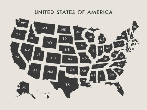
Highly detailed map of United States of America with states boundaries and abbreviated names, and capital location and name, Washington DC, labeled. The map is editable, printable, and downloadable.
The USA map was traced and simplified in Adobe Illustrator on 24FEB2015 from a copyright-free resource below: