
Images
Indian Pacific Pictures, Images and Stock Photos
View indian pacific videos
Browse 6,000+ indian pacific stock photos and images available, or search for indian pacific railway or indian pacific railroad to find more great stock photos and pictures.
Most popular
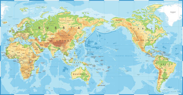
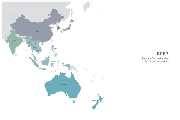
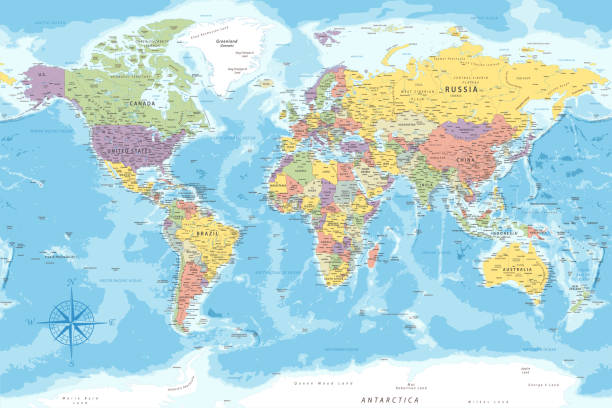
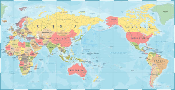
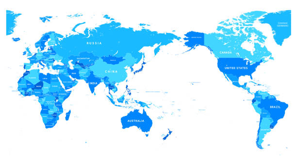
Political Physical Topographic Colored World Map Pacific Centered- vector
Political Physical Topographic Colored World Map Vector illustration

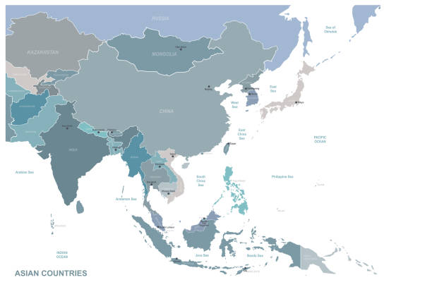
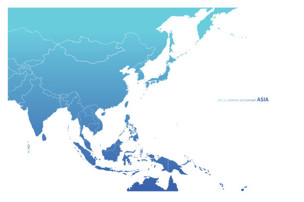
Map of Asia Pacific. Grey map of Asia. Vector illustration.
Our creative library is free of AI-generated contentChoose your visuals with confidence knowing our creative library is free from AI-generated content, so your searches only return safe, high-quality visuals you can trust.
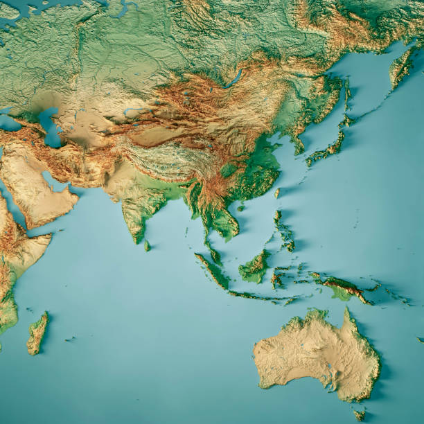
3D Render of a Topographic Map of Asia and Australia. All source data is in the public domain. Color texture: Made with Natural Earth. http://www.naturalearthdata.com/downloads/10m-raster-data/10m-cross-blend-hypso/ Relief texture: GMTED 2010 data courtesy of USGS. URL of source image: https://topotools.cr.usgs.gov/gmted_viewer/viewer.htm Water texture: SRTM Water Body SWDB: https://dds.cr.usgs.gov/srtm/version2_1/SWBD/

Highly detailed India map with borders isolated on background. Flat style

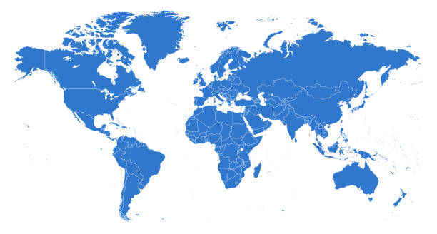
Vector Illustration World Map on White Background. Courtesy of the PCL Map Collection: http://www.lib.utexas.edu/maps/world.html (Public Domain PCL Map Collection).

Pink tropical hibiscus flower growing in summer garden blue sea background


http://s017.radikal.ru/i404/1110/87/2c00b7bbd3ec.jpgHighly detailed map of the Euroasia with countries, cities and other labels.

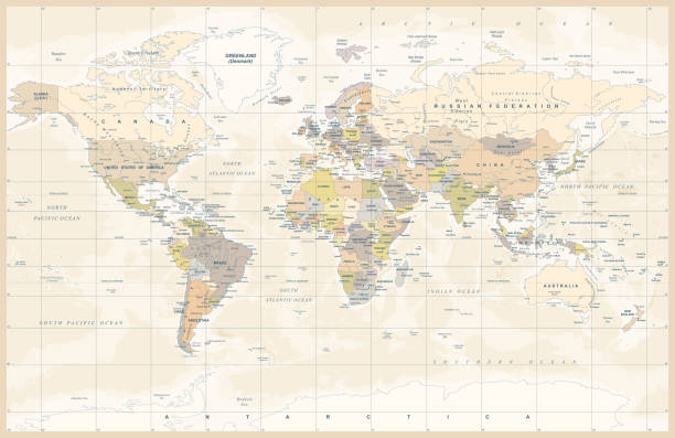
World Map Vintage Political - Vector Detailed Illustration
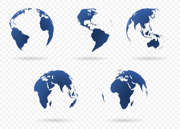
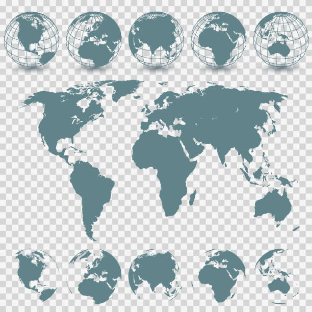
Set of Earth globe icon in different views. Highly detailed images of continents with transparent parts. Vector illustration
Nine clear simplified views of the earth showing the major continents.

World Map - Highly Detailed Vector Map of the World. Ideally for the Print Posters


White dotted 3d earth world map globe in black background. Vector illustration.

Map of the World - Highly Detailed Vector illustration
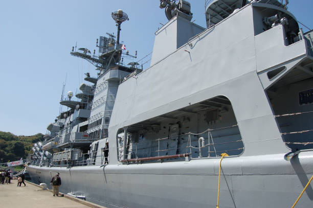
Kanagawa, Japan - April 14, 2007:Indian Navy INS Mysore (D60), Delhi-class destroyer.
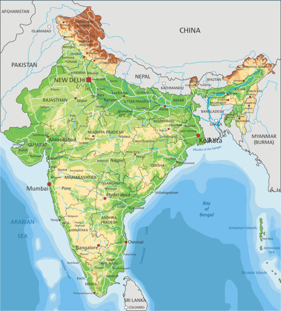
High detailed India physical map with labeling. Organized vector illustration on seprated layers.


three dimensional world map, abstract image, vector illustration
World Map Vintage Old Retro - Asia in Center- vector

Vector Globe Set and World Map


Single colored isolated outline icons of the earth from nine positions
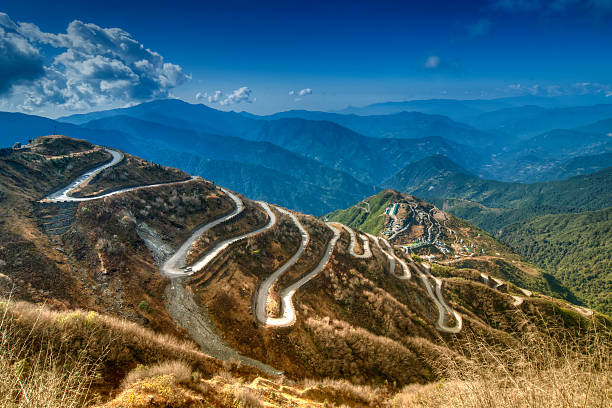
Beautiful Curvy roads on Old Silk Route, Silk trading route between China and India, Sikkim


Map of the World - Highly Detailed Vector illustration

World Map - Highly Detailed Vector Map of the World. Ideally for the Print Posters

The ocean currents. Vector map

Detailed Illustration of the World Map. Names for All Countries and Islands. Reference: http://www.lib.utexas.edu/maps/world.html (Public Domain PCL Map Collection).

Oceanographical map of World with labels of oceans, seas, gulfs, bays and straits. Vector map with blue lands and white water.

Vector globe set and world map. EPS8 file, high resolution jpeg.


India Globe 3D Render of the Planet Earth, Depth of field effect. Made with Natural Earth. URL of source data: http://www.naturalearthdata.com Relief texture SRTM data courtesy of NASA. URL of source image: http://reverb.echo.nasa.gov The source data is in the public domain.

Map of the World - Highly Detailed Vector illustration


Portrait of an Asian woman and her Indian husband affectionately embracing and smiling directly at the camera while at the beach in Hawaii.

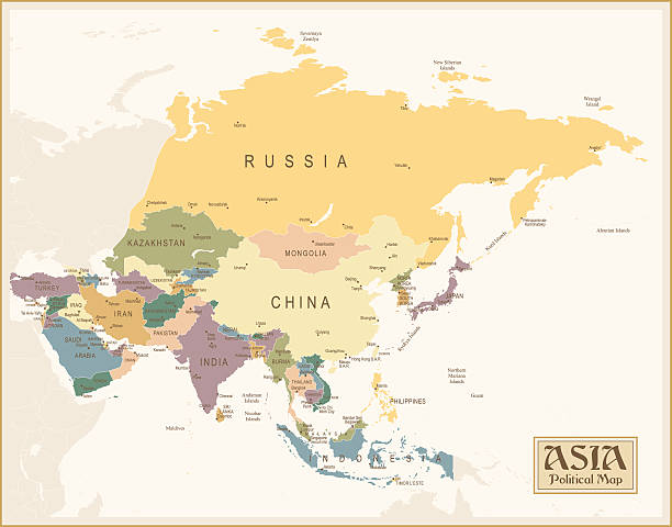
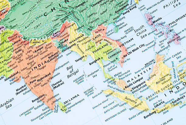
World map centre Asia on grey background
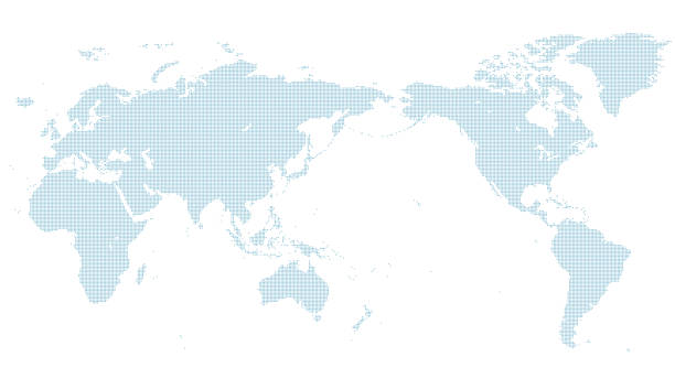
blue dotted world map. normal size. center line Japan.

of100Next