Indiana State dark silhouette map isolated on white background
Browse 48,500+ indiana stock photos and images available, or search for indiana map or indianapolis to find more great stock photos and pictures.
Indiana State dark silhouette map isolated on white background

Aerial View of Vibrant Indianapolis Cityscape with Serene Park and Waterway at Golden Hour

Image of Aerial downtown Fort Wayne city of churches sunrise Freimann Square, Court House skyscraper fountain
Indiana map shape, united states of america. Flat concept icon symbol vector illustration .

South Bend is a city in and the county seat of St. Joseph County, Indiana, United States,

Golden hour captures autumn's vibrant hues in Fort Wayne, Indiana, featuring the modern Martin Luther King Bridge over a serene river with downtown skyline backdrop.

Indiana State Capitol building in Indianapolis, Indiana - Photo taken in Summer 2024.

Aerial view of modern and historic skyline in Indianapolis during golden hour, showcasing a vibrant residential area with a canal and walking bridge

Indiana Dunes National Park, Indiana, USA. The views of Lake Michigan and the sand dunes are popular beach and hiking attractions.

Indiana - States of USA Outline Map Vector Template Illustration Design. Editable Stroke. Vector EPS 10.
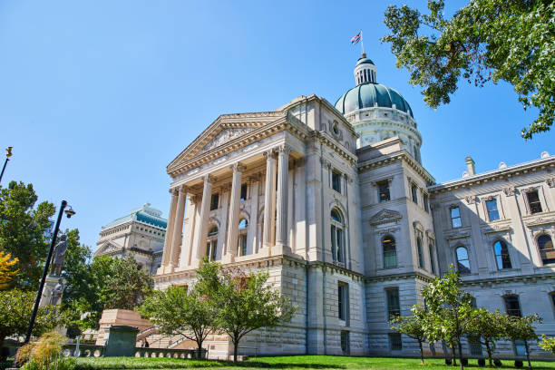
Neoclassical Government Building in Downtown Indianapolis, Indiana, under clear blue sky in 2023
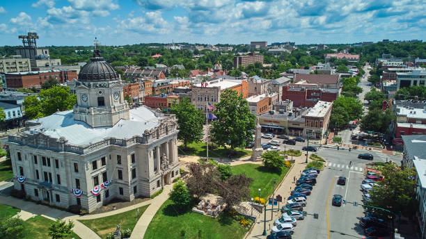
Image of Bloomington Indiana downtown The Square with courthouse aerial

Outline of the borders of the U.S. state with a flag

Vector outline map of Indiana state divided into counties

Carmel, Indiana - July 25, 2024: Street scene from midwest suburban city of Carmel Indiana along the Monon Trail near the Arts and Design District.

Evansville is a city in and the county seat of Vanderburgh County, Indiana, United States
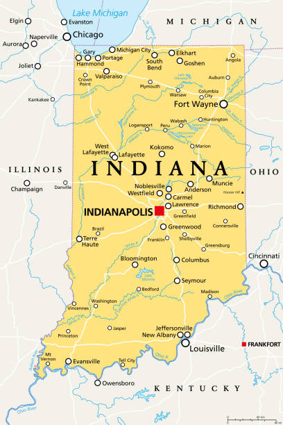
Indiana, IN, political map, with the capital Indianapolis, and most important cities, rivers and lakes. State in the Midwestern region of the United States of America, nicknamed The Hoosier State.
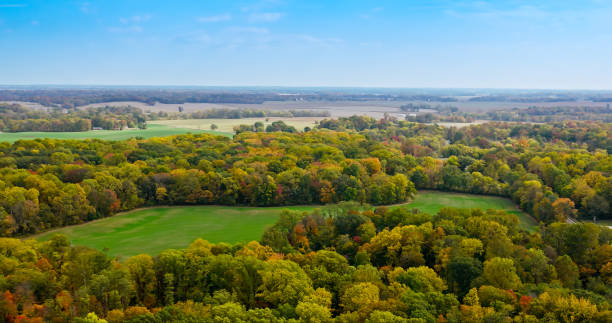
Aerial shot of the landscape around New Harmony in Posey County, Indiana on a cloudless and sunny day in Autumn.

View of Lake Michigan from the beach at Indiana Dunes State Park, Indiana, USA
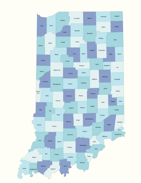
Detailed state-county map of Indiana. This file is part of a series of state/county maps. Each file is constructed using multiple layers including county borders, county names, and a highly detailed state silhouette. Each file is fully customizable with the ability to change the color of individual counties to suit your needs.
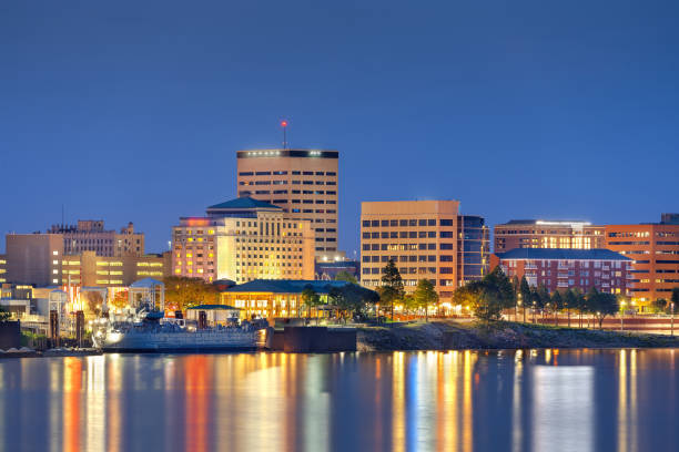
Evansville, Indiana, USA downtown skyline on the Ohio River at blue hour.

South Bend is a city in, and the county seat of, St. Joseph County, Indiana, on the St. Joseph River

Kemil Beach in Indiana Dunes National Park, shores of Lake Michigan, Indiana, USA

A detailed map of Indiana state with cities, roads, major rivers, and lakes plus National Forests. Includes neighboring states and surrounding water.
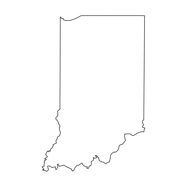
Indiana, state of USA - solid black outline map of country area. Simple flat vector illustration.
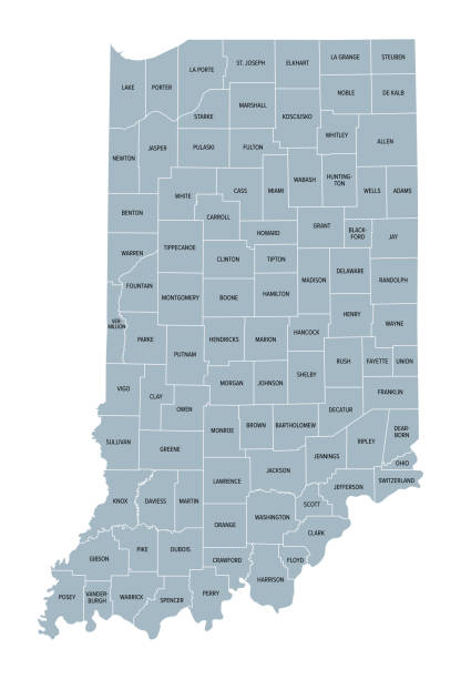
Indiana counties, gray political map. State in the Midwestern region of the United States, subdivided into 92 counties. Nicknamed The Hoosier State. Map with borders and county names. Illustration
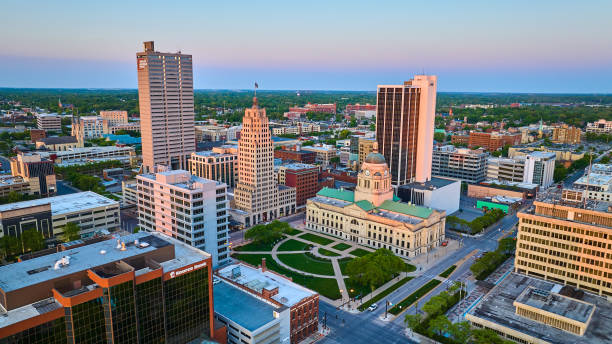
Image of Sunrise off building skyscraper windows courthouse city of churches downtown Fort Wayne aerial

Carmel, Indiana - July 25, 2024: Street scene from midwest suburban city of Carmel Indiana along the Monon Trail near the Arts and Design District.
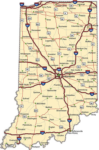
Highway map of the state of Indiana with Interstates and US Routes. It also has lines for state and county routes (but not labeled) and many cities on it as well. All cities are the County Seats and the Capitol (and some others).

Indianapolis, Indiana, USA skyline over Soliders' and Sailors' Monument at dusk.

City skyline view over the downtown buildings and statehouse of Indianapolis, Indiana, USA at sunrise

Golden Hour Over Indianapolis: Aerial View Featuring Urban Park, High-Rises and Canal

Please click my private lightbox links below for more images like this -- Thanks!

Indianapolis, Indiana, USA skyline over Monument Circle.
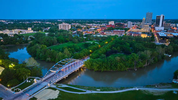
Image of Martin Luther King Bridge leading to Headwaters Park and downtown Fort Wayne night lights aerial

Aerial shot of Evansville in Vanderburgh County, Indiana on a Fall afternoon. Authorization was obtained from the FAA for this operation in restricted airspace.

Boy hiking along dune succession trail in Indiana Dunes National Park.

Indiana state of United States flag on flagpole textile cloth fabric waving on the top sunrise mist fog

The Indiana state flag waving along with the national flag of the United States of America. In the background there is a clear sky. Indiana is a U.S. state in the Midwestern United States

The Indiana state flag waving along with the national flag of the United States of America. In the background there is a clear sky. Indiana is a U.S. state in the Midwestern United States

Image of Passing of the Buffalo statue with park aerial of city on gorgeous summer day, Muncie IN
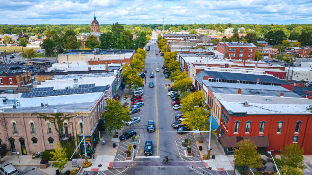
Aerial view of historic downtown Goshen, Indiana, showcasing a bustling main street lined with red brick buildings, the distinctive Elkhart County Courthouse, and the charm of small-town America during autumn.

Autumn sunset over tranquil Fort Wayne, Indiana, showcasing a vibrant skyline, the serene river, and the Martin Luther King Bridge, captured through a panoramic aerial drone view.
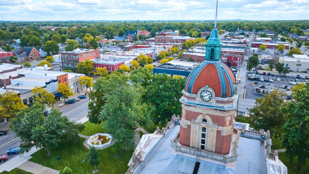
Aerial view of historic Elkhart County Courthouse with red-tiled dome in charming downtown Goshen, Indiana, captured by DJI Mavic 3 drone

Downtown Fort Wayne, Indiana Skyline, including Allen County Courthouse.

Downtown city skyline view of Indianapolis, Indiana, USA looking over the buildings and waters of the Central Canal Walk