Jura Pictures, Images and Stock Photos
Browse 10,800+ jura stock photos and images available, or search for jura scotland or jura france to find more great stock photos and pictures.
Beautiful winter landscape in the Jura Massif in the "Réserve naturelle nationale de la Haute Chaîne du Jura"

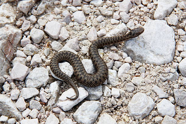
Red Deer stag on the isle of Jura during rutting season

ground fog over forest with brightly colored autumn leaves and meadows which half disappear in the fog with blue sky and small white clouds. in the jura mountains near the city of Biel Bienne, canton of bern, switzerland
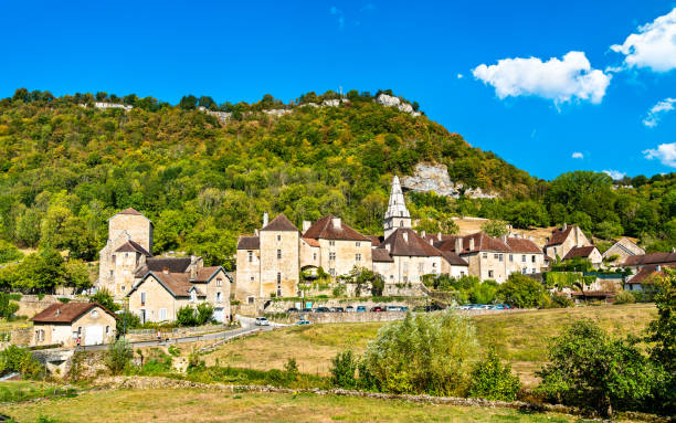
Village of Baume-les-Messieurs in the Jura department of France
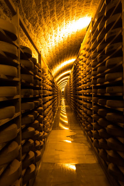
cellars in Comté at Fort des Rousses


casks and barrels for Islay Whisky to get aged

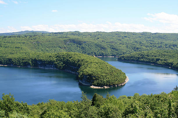
Nature scenic landscape view of beautiful Genin lake (Lac Genin in french) in Bugey mountains, located on Oyonnax, Charix and Echallon town. It takes place at the foot of Jura massif, in Ain, Auvergne-Rhone-Alpes region in France (Europe) at an elevation of 850m. This medium altitude lake is fed by underground sources, and surrounded by pine and fir tree forest. This picture was taken under a bright sunny summer day, with blue sky and some clouds, in HDR color and exposure technic for vibrant color and wonderful render of this wild and preserved nature.
Landscape in Jura, France
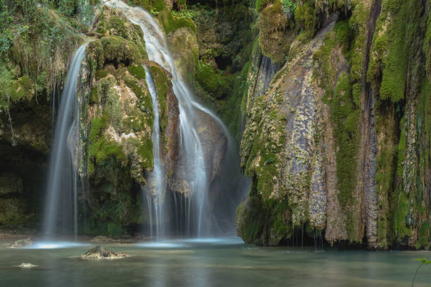
Waterfall of tuffs with boards near Arbois

Whisky casks on Islay with the Paps of Jura in the background

Autumn Landscape in Vaud with view of the Jura and farmhouse

A low angle, wide shot of a ski lift carrying skiers to the top of the ski slopes in the French Alps on a sunny day.

view over Quatre Lacs from the viewpoint at the Pic de l'Aigle
Horizontal composition photography view of famous Lake Bourget in France from the Grand Colombier local landmark mountain at the end of the day at sunset. Shot from Grand Colombier mountain top during a sunny summer day, in Bugey mountains, in Ain department not far from Jura and Savoie border near Culoz city, Auvergne-Rhone-Alpes region in France (Europe).
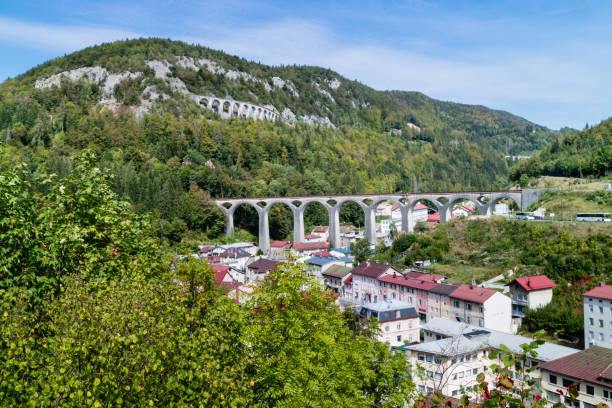
The viaducts of morez in the Jura mountains, France
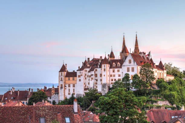
Neuchatel Castle, Switzerland bathing in the warm sunset light
Vallée de Joux, Col du Marchairuz, Switzerland. The cross-country ski crossing between Marchairuz and Mollendruz is a classic in the region. This high-altitude route crosses the magnificent Jura valleys to the foot of Mont-Tendre passing in front of various alpine chalets operated only in summer.


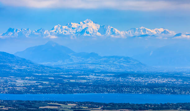
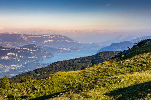
Image of snowcapped Mont Blanc Massif and Leman Lake seen from Jura Mountains in France.
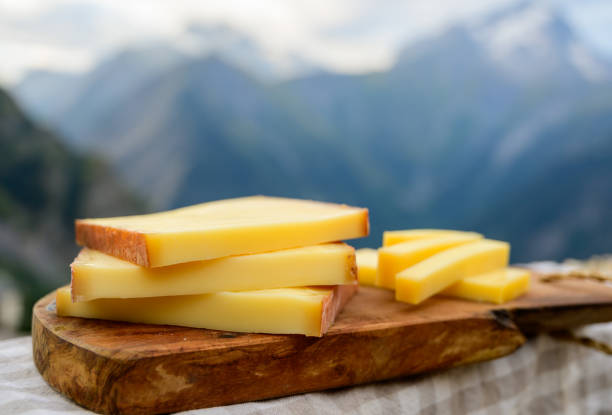
Cheese collection, French comte, beaufort or abondance cow milk cheese served outdoor with Alps mountains peaks in summer on background
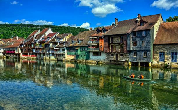
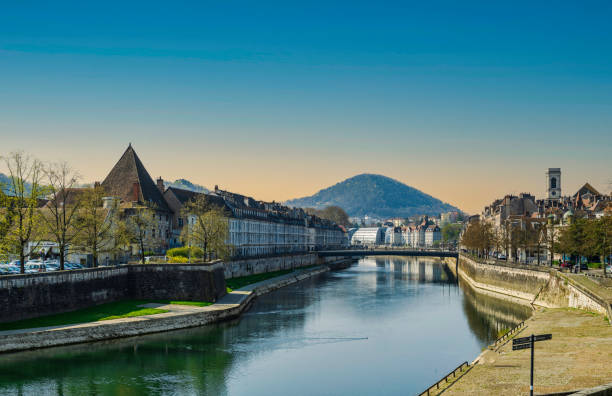
Canoe navigation along the Loue river which is overlooked by the characteristic houses. Town of Ornans in the Doubs department, Burgundy-Franche-Comte region, France. HDR image
The Aiguilles de Baulmes (1,559 m) are a mountain of the Jura range, located north of Baulmes in the canton of Vaud.
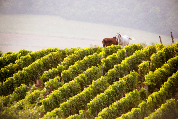
Summer landscape in the Jura vineyards. Two horses in the background of the vineyards of Passenans.
Nature scenic landscape view of beautiful Genin lake (Lac Genin in french) in Bugey mountains, located on Oyonnax, Charix and Echallon town. It takes place at the foot of Jura massif, in Ain, Auvergne-Rhone-Alpes region in France (Europe) at an elevation of 850m. This medium altitude lake is fed by underground sources, and surrounded by pine and fir tree forest. This picture was taken under a bright sunny summer day, with blue sky and some clouds, in HDR color and exposure technic for vibrant color and wonderful render of this wild and preserved nature.

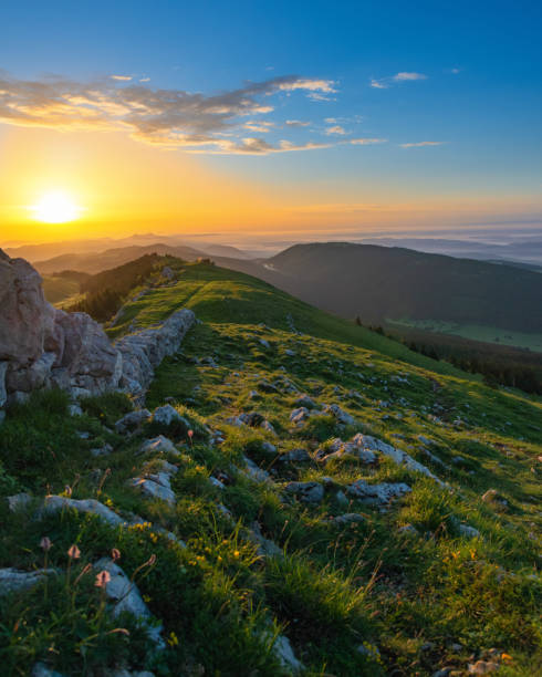
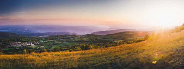
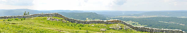
View over the country and the green valleys to the Alps on the horizon. viewpoint near the Solitat summit at an altitude of 1400 meters in the Jura from Neuchâtel, Lake Neuchâtel, Canton Neuchâtel to Canton Vaud, Switzerland.
View of the picturesque medieval village in valley. Chalon, Departement Jura, Franche-Comte, France

Landscape of the Jura vineyards in winter. The snow covers the vines of the sloping vines of Château-Chalon. Scene at sunset.

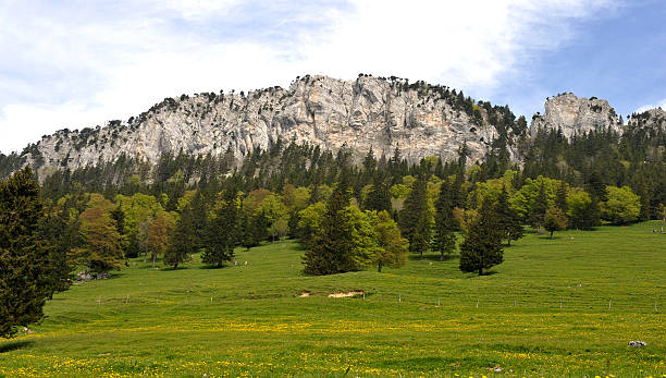
Picture from the mountain Chasseral in the swiss jura mountains, near Biel Bienne, Lake Biel, Canton of Bern, Switzerland, Europe

Whisky barrels rest along a wall near the sea on the Isle of Islay, Scotland, United Kingdom
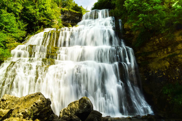
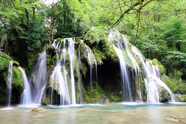
Waterfalls of Tufs to Arbois in Jura
Awesome rolling landscape high angle view of small french village of Innimond in Bugey mountains, in Ain, Auvergne-Rhone-Alpes region in France European Alps, taken at sunset in spring.
Stitched panorama made of 5 pictures. La Dôle is a mountain of the Jura, overlooking Lake Geneva in the easternmost part of the canton of Vaud. Rising to an altitude of 1677 meters, it is the second highest peak in the Swiss portion of the Jura, after Mont Tendre. Administratively, the summit is split between the municipalities of Gingins, Chéserex and La Rippe. The mountain is also close to and easily accessible from Saint-Cergue and the Col de la Givrine to the north, both above 1000 meters and connected to Nyon on Lake Geneva by road and by the Nyon–St-Cergue–Morez Railway. A paved road also climbs to the Chalet de la Dôle below the summit (1439 m) from Gingins.

Horizontal composition photography of countryside landscape of Ain rolling landscape hill mountain view, with tree forest, meadow and field in preserved natural Ain woods. Shot with fog and clouds, on Alps chain. This image was taken from Bugey mountains in Ain, Rhone-Alpes region in France (Europe). This picture was made during a bright and colorful sunny day of summer season with colorful tree. Near to Alps chain and Jura in Franche Comte, with an impressive view on rolling landscape mountain under sunlight on cloudy blue sky. Border of Jura, Ain, and Savoie departments.
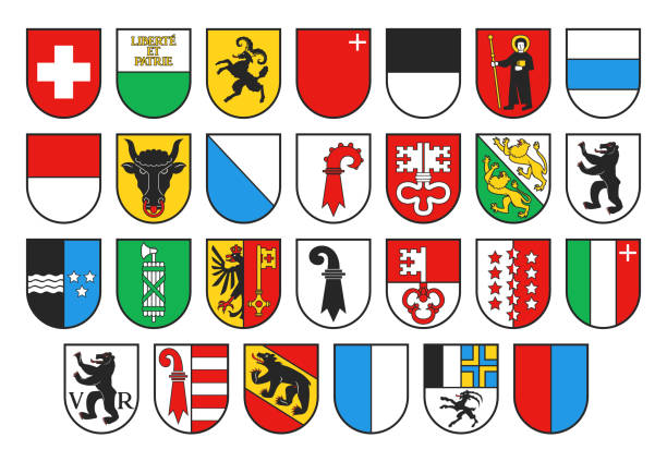
Coat of arms of Switzerland and Swiss cantons, vector heraldry. Heraldic shields with emblems of Zurich, Bern, Lucerne and Geneva, Uri, Schwyz, Obwalden and Nidwalden, Glarus, Zug and Fribourg
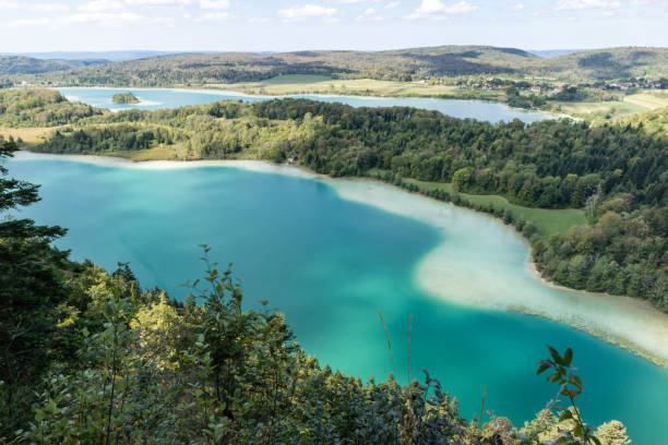
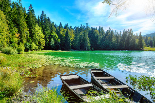
Top view of the 4 lakes of the Frasnois village, Jura, France
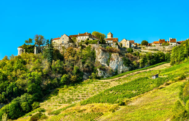
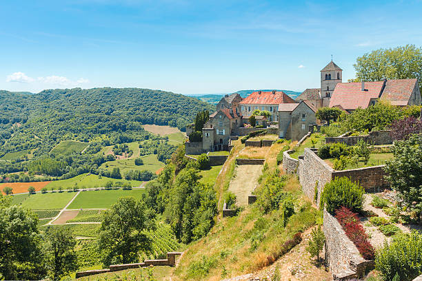
Chateau-Chalon village above its vineyards in Franche-Comte, France
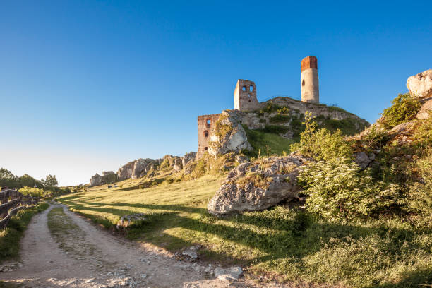
Olsztyn Castle in Jura region

Stag photographed in Scotland during Autumn/Fall
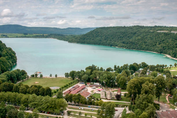
Lake of Vouglans in Franche-Comté

Canal des Tanneurs in Dole, Franche-Comté, France.
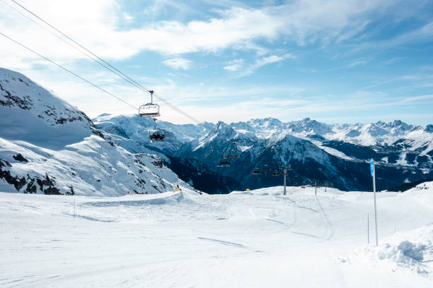
A wide shot of a ski lift carrying skiers to the top of the ski slopes in the French Alps on a sunny day.

Pastel pink sunset cloudscape over the Jura mountains. Beautiful evening sky landscape over the meadows and forest.

3D Render of a Topographic Map of the region of Bourgogne-Franche-Comte in France. All source data is in the public domain. Color texture: Made with Natural Earth. http://www.naturalearthdata.com/downloads/10m-raster-data/10m-cross-blend-hypso/ Relief texture: NASADEM data courtesy of NASA JPL (2020). URL of source image: https://doi.org/10.5067/MEaSUREs/NASADEM/NASADEM_HGT.001 Water texture: SRTM Water Body SWDB: https://dds.cr.usgs.gov/srtm/version2_1/SWBD/ Boundaries Level 0: Humanitarian Information Unit HIU, U.S. Department of State (database: LSIB) http://geonode.state.gov/layers/geonode%3ALSIB7a_Gen
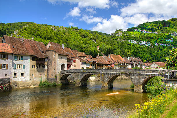
From Saint-Ursanne, Switzerland
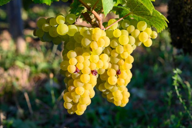
Green vineyards located on hills of Jura French region, white savagnin grapes ready to harvest and making white and special jaune wine, close up

February 2015, town Delémont (Switzerland) from a distance, HDR-technique
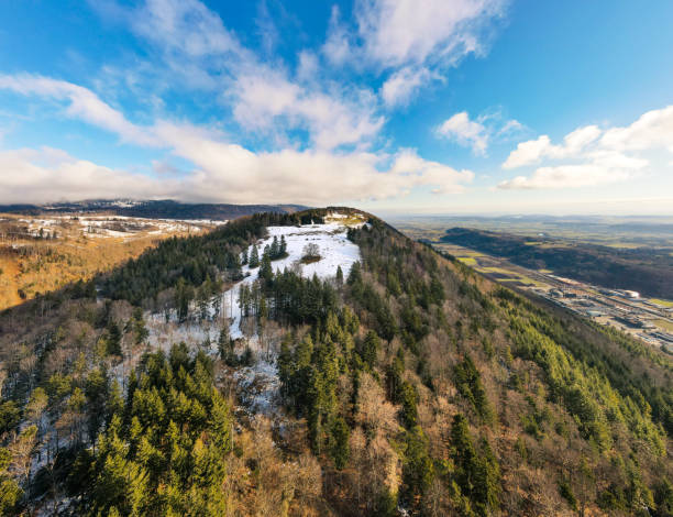
View of the partly snow-covered Bözingenberg mountain located directly next to the city of Biel Bienne, canton of Bern, Switzerland

view to village la chaux du Dombief in french Jura region, France
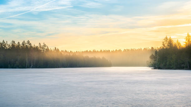
colorful sky in the morning hour. with rising fog over the frozen and snow-covered lake Étang de la Gruère, canton of jura, switzerland, Europe
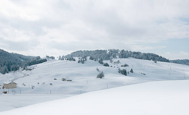
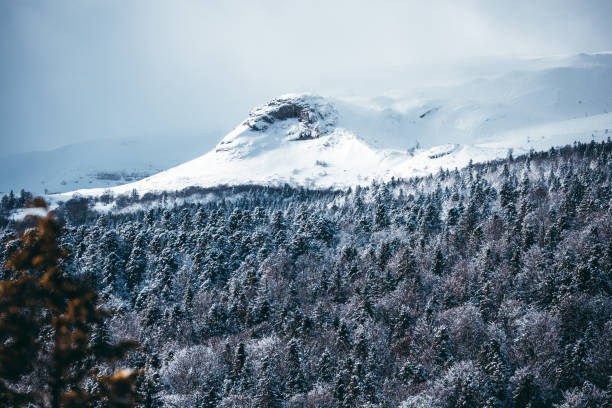
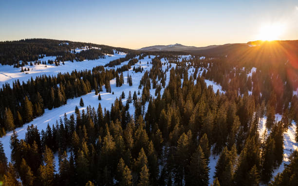
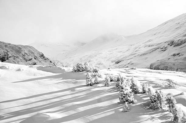
Landscape of Jura's mountains during winter
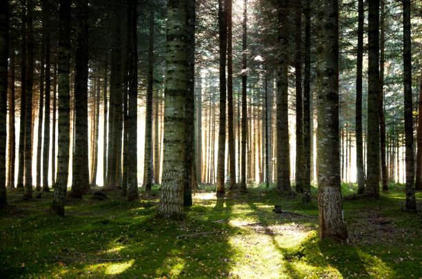
Trees in the snow
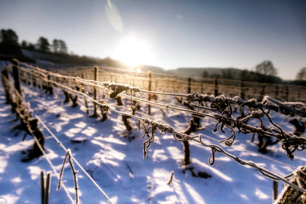
Landscape of the Jura vineyards in winter. Snow covers the vines of the sloping vines of Montigny les Arsures.