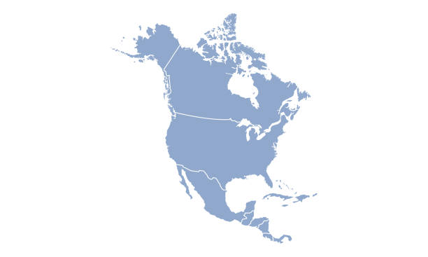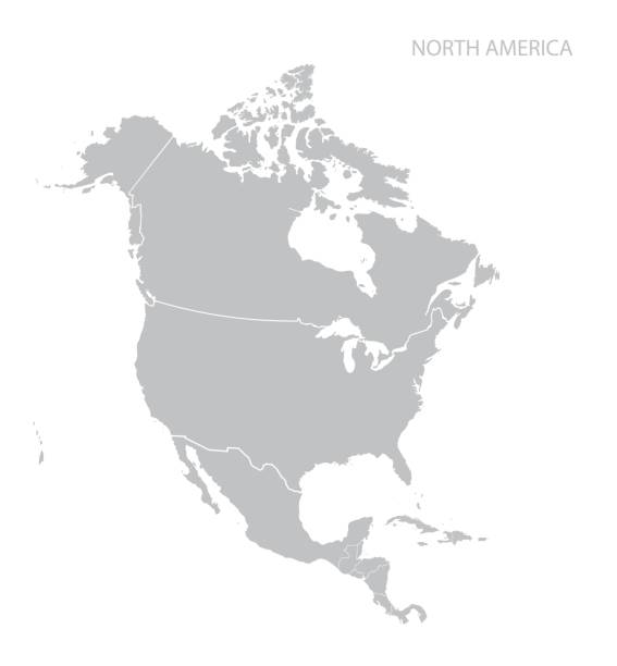
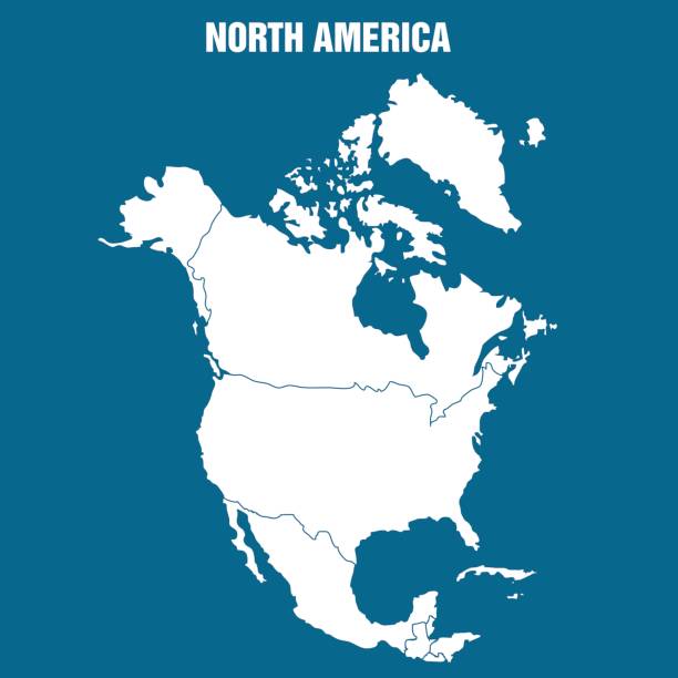
Map of North America. Vector.
Browse 3,700+ north and central america stock photos and images available, or search for north and central america map or map of north and central america to find more great stock photos and pictures.
Map of North America. Vector.
Empty Blue Map of the North America

North America with detail and name of each country. Vector illustration in HD very easy to make edits.
The Americas political map with countries and borders of the two continents North and South America. English labeling. Gray illustration on white background. Vector.
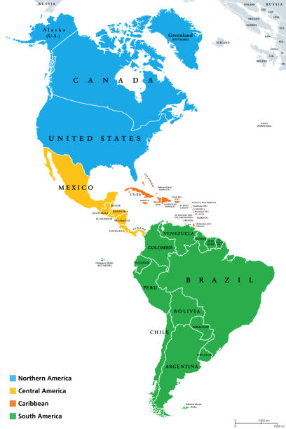
The Americas, geoscheme and political map. The North American subregion with intermediate regions Caribbean, Northern and Central America, and the subregion South America. Subdivisions for statistics.

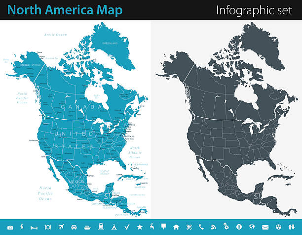
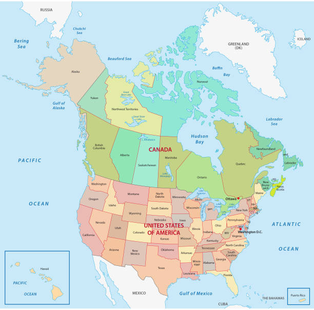
North America countries, political map. Continent bordered by South America, Caribbean Sea, and by Arctic, Atlantic and Pacific Ocean. Canada, United States, Mexico, etc. Multi colored illustration.
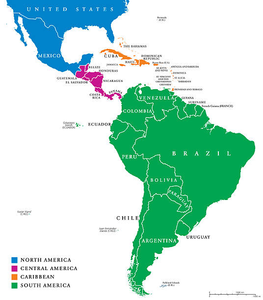
Latin America regions political map. The subregions Caribbean, North, Central and South America in different colors, with national borders and English country names. Illustration on white background.
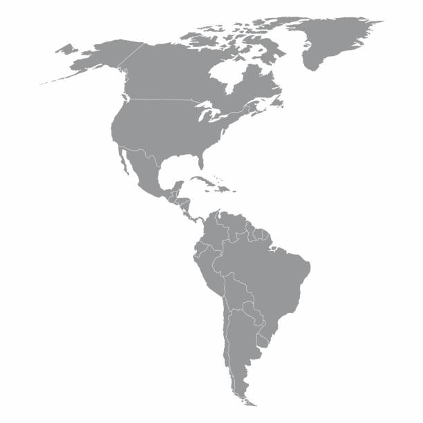
Illustration of a gray North and South America map
Vector maps of the North America with variable specification and icons

Vector illustration with simplified map of North and South America continent. Blue low poly triangular silhouettes, white background.

Map of North America with a realistic paper cut effect isolated on white background. Vector Illustration (EPS10, well layered and grouped). Easy to edit, manipulate, resize or colorize. Please do not hesitate to contact me if you have any questions, or need to customise the illustration. http://www.istockphoto.com/bgblue/

Map of North and South America in black. Map of the Americas with country borders on a white background. Vector
High detailed vector map of North America with borders,cities and navigational icons
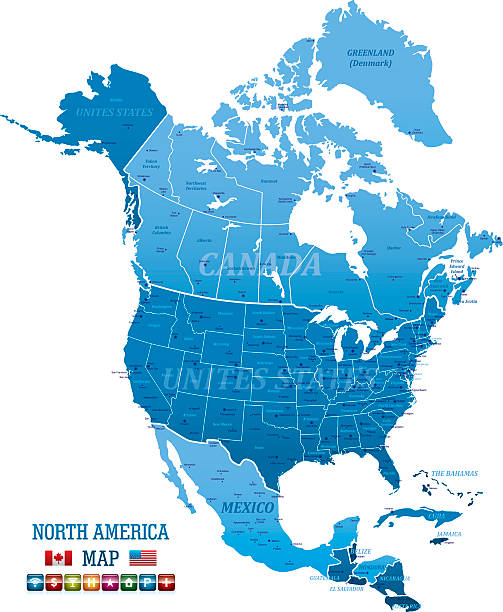
Canada and United Staes administrative and political vector map
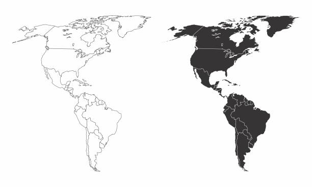
Simplified maps of the americas with countries boundaries. Black and white outlines.
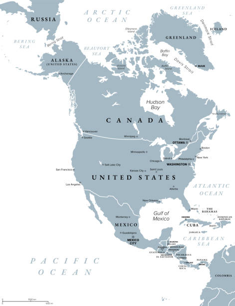
North America, gray political map. Continent bordered by South America, Caribbean Sea, and by the Arctic, Atlantic and Pacific Ocean. The largest countries are Canada, the United States, and Mexico.
Vector Illustration of North American Continent

Low poly map of North and South Americas on blue background.

Vector illustration with map of North and South America continent with countries borders. Black line silhouettes, white background.
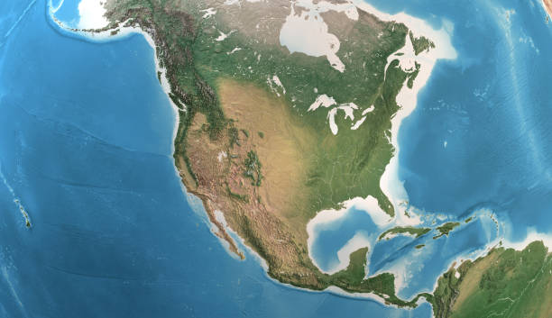
Physical map of North America, USA, Canada and Mexico, with high resolution details. Satellite view of Planet Earth. 3D illustration (Blender software), elements of this image furnished by NASA (https://eoimages.gsfc.nasa.gov/images/imagerecords/147000/147190/eo_base_2020_clean_3600x1800.png)
North America Map with vintage colours, borders, sea and oceans

High detailed North America Map with Navigation Icons. EPS 10. Contains transparent objects
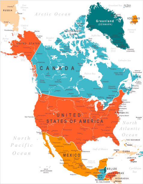
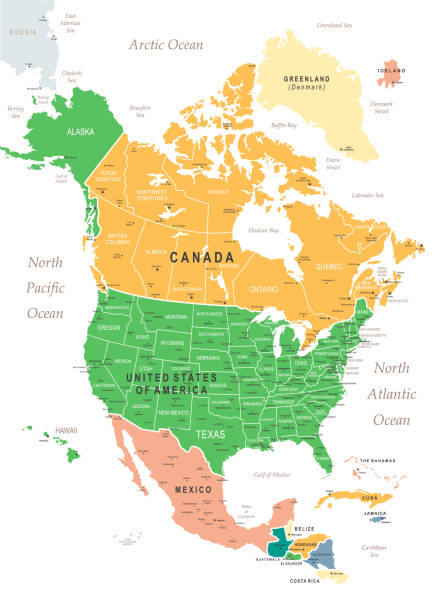
Vector Map of North America with borders and capitals. Canada, USA, Mexico with cities
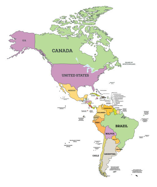
South and North America Political Map in Mercator Projection. Vector Illustration. Map with Name of Countries Isolated on White.
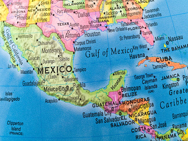
High detailed Map of Central America with national borders, countries and navigational icons
High detailed blue North America Map with navigation icons and Flag
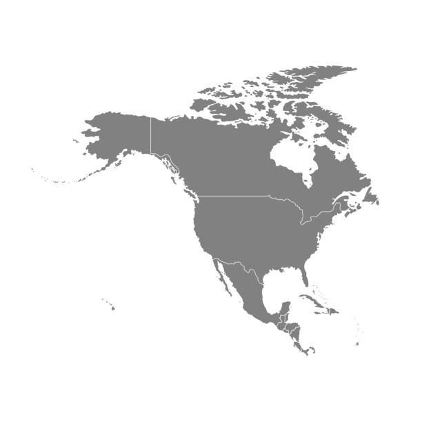
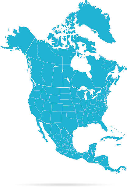
Vector illustration with map of North America continent. Grey silhouettes, white background.

Detailed map of North and Central America with borders of countries. Vector illustration.

Map of North America with a realistic paper cut effect isolated on white background (colors used: golden white, beige, sepia). Vector Illustration (EPS10, well layered and grouped). Easy to edit, manipulate, resize or colorize.

Empty Dark Gray Map of the North America - illustration

Vector modern illustration with simplified map of North and Cental America continent. Blue gradient colors, low poly triangular silhouettes, white background

High resolution satellite view of Planet Earth, focused on North and Central America, Mexico, USA, Canada, Alaska and Greenland - 3D illustration (Blender software), elements of this image furnished by NASA (https://eoimages.gsfc.nasa.gov/images/imagerecords/147000/147190/eo_base_2020_clean_3600x1800.png)

High detailed vector map of North America

Mexico road and highway map. Organized vector illustration on seprated layers.

Physical map of Planet Earth, focused on North America, USA, Canada, Mexico and Central America. 3D illustration (Blender software), elements of this image furnished by NASA (https://eoimages.gsfc.nasa.gov/images/imagerecords/147000/147190/eo_base_2020_clean_3600x1800.png)

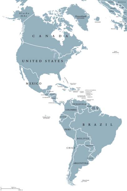
Colored Map of the North America with Country Names and Capital Cities

Map of North America created with a mesh of thin bright blue lines and glowing dots, isolated on a dark blue background. Conceptual illustration of networks (communication, social, internet, ...). Vector Illustration (EPS10, well layered and grouped). Easy to edit, manipulate, resize or colorize.

Photo of pinned San Salvador on a map of North America. May be used as illustration for traveling theme.

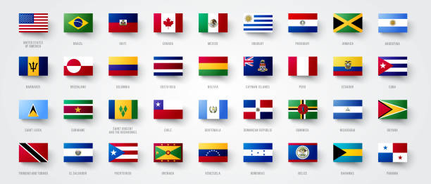
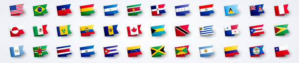
Realistic waving flags of North America continent. USA, Canada, Cuba, Dominica, Guatemala, Haiti, Nicaragua, Grenada, Honduras, Bahamas flag on flagpole. Patriotic symbols isolated vector illustration
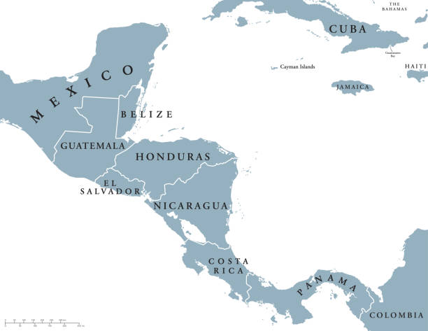
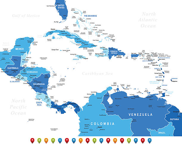
Central America countries political map with national borders, from Mexico to Colombia, connecting North and South America, Caribbean Sea to the east and Pacific Ocean to the west. English labeling.