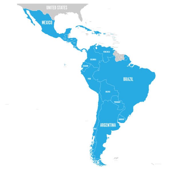
Political map of Latin America. Latin american states blue highlighted in the map of South America, Central America and Caribbean. Vector illustration.
Browse 1,700+ peru continent stock photos and images available, or start a new search to explore more stock photos and images.
Political map of Latin America. Latin american states blue highlighted in the map of South America, Central America and Caribbean. Vector illustration.

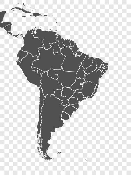
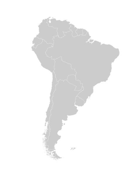
South America, gray political map with international borders and capitals. A continent, bordered by the Pacific and Atlantic Ocean, North America and the Caribbean Sea. Isolated illustration. Vector.
Map of South America with countries and borders. Vector illustration.
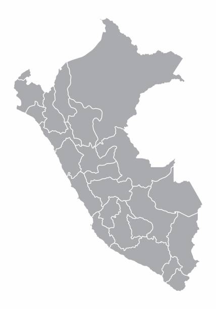
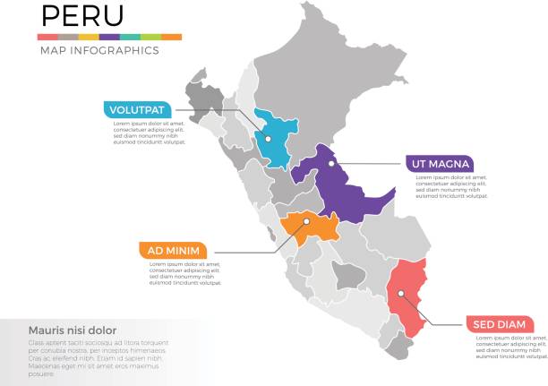
A gray map of Peru divided into provinces
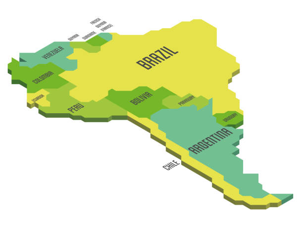
Isometric political map of South America. Colorful land with country name labels on white background. 3D vector illustration
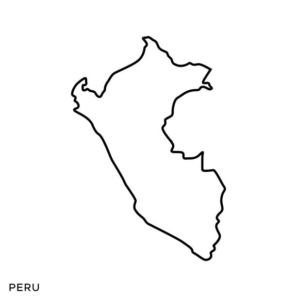
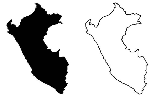
Peru Outline Map Vector Stock Illustration Design Template. Editable Stroke. Vector eps 10.
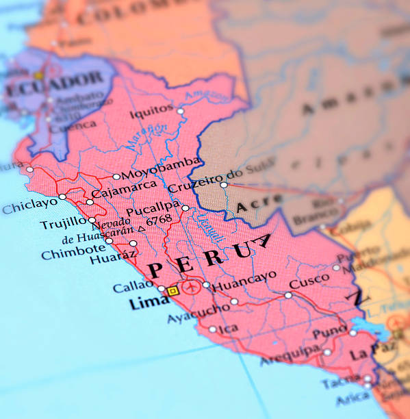
Map of Peru. Selective Focus.

Bright postcard with map of South America with famous natural destinations, landmarks and animals. Greeting card in a postal style

Map of South America continent 1898 Original edition from my own archives Source : Brockhaus 1898
South America political division map - vector illustration.

Credit: https://www.nasa.gov/topics/earth/images An illustrative stock image showcasing the distinctive flag of Peru beautifully draped across a detailed map of the country, symbolizing the rich history and cultural pride of this renowned European nation.
Vector South America and North America map with countries borders. Abstract red and yellow American countries on map isolated on white background
Vector Illustration of regional maps with isolated colors for education, info-graphics and data purpose
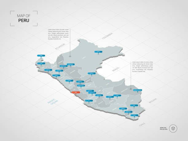
Isometric 3D Peru map. Stylized vector map illustration with cities, borders, capital, administrative divisions and pointer marks; gradient background with grid.

south america seen from space 3D rendering

South America map showing country borders isolated on white.

World flags. South America. Vector illustration with transparent effect. Eps10.

Realistic waving flags of South America continent. Argentina, Bolivia, Brazil, Chile, Colombia, Peru, Uruguay 3d flag on flagpole. Patriotic symbols vector illustration. National countries identity
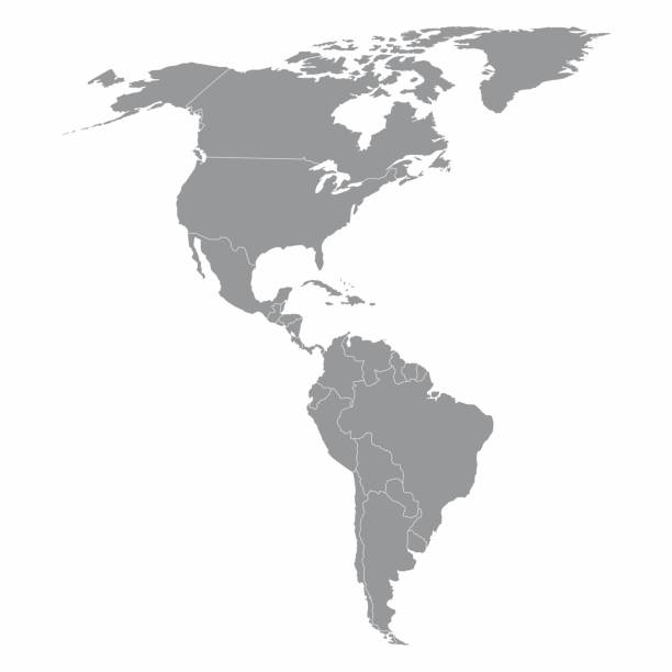
Illustration of a gray North and South America map

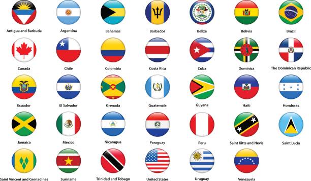
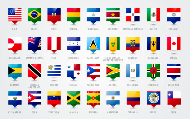
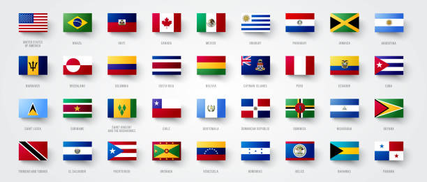
Set of flags Americas countries, All America continent flag collection

South America viewed from space with sunrise on planet Earth and stars, overview of Amazon river and forest, night lights from cities in Brazil, Argentina, Chile, Peru, map elements from NASA, 8k (https://eoimages.gsfc.nasa.gov/images/imagerecords/57000/57752/land_shallow_topo_2048.jpg)
Vector illustration with map of South America continent. Blue silhouettes, white background.
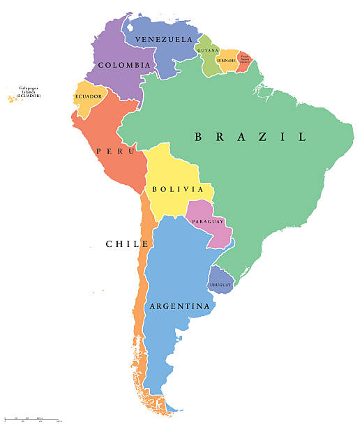
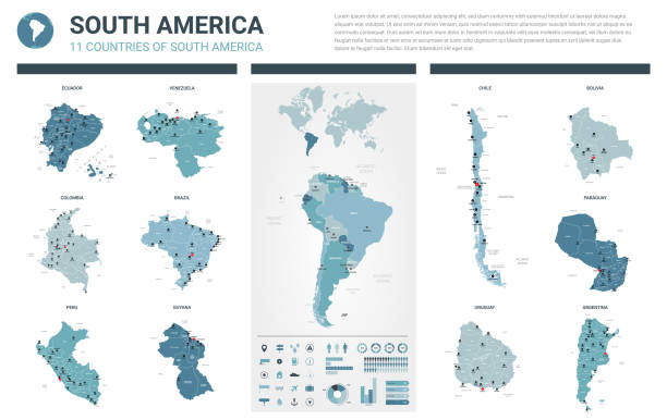
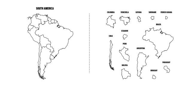
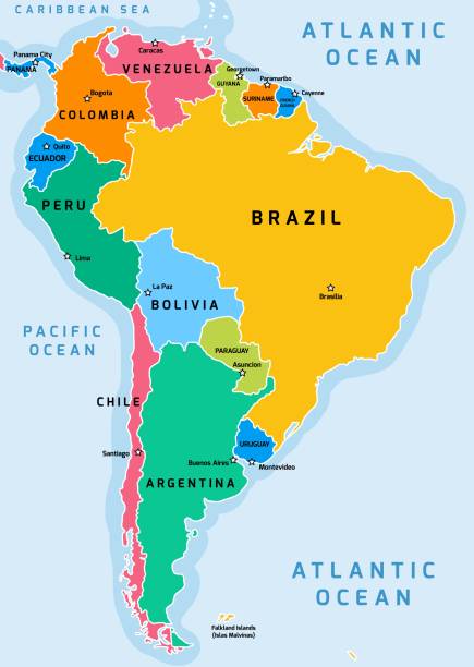
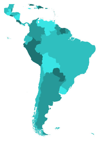
South America single states political map. All countries in different colors, with national borders and country names. English labeling and scaling. Illustration on white background.
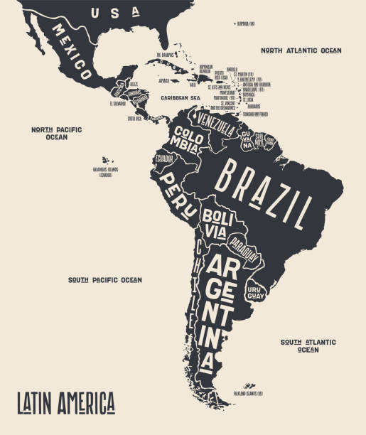
Map Latin America. Poster map of Latin America. Black and white print map of Latin America for t-shirt, poster or geographic themes. Hand-drawn graphic map with countries. Vector Illustration
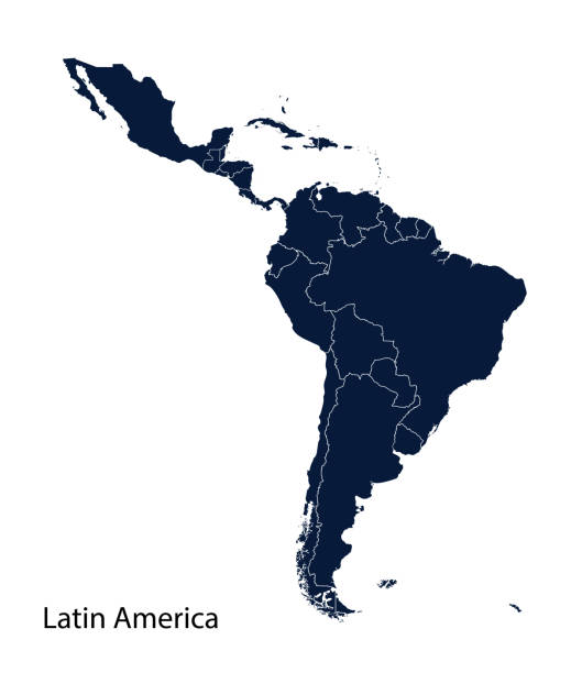
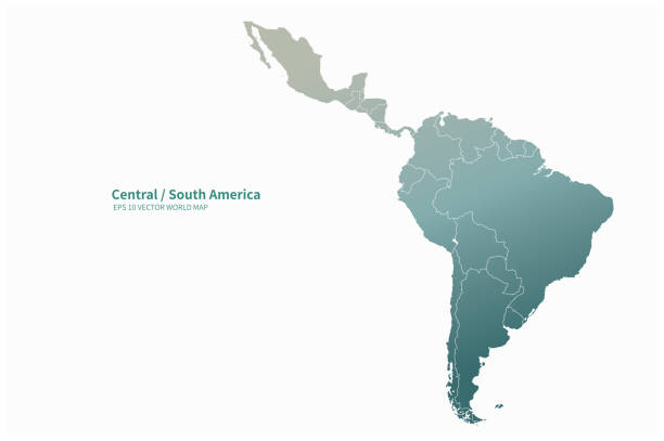
Latin America map, North America, Caribbean, Central America, South America.
This vector illustration uses squares to create a detailed map of Latin America. The EPS 10 file is easy to colour and customise if required and can be scaled to any size without loss of quality, making it an ideal design element for your project.

doodle freehand drawing of south america map. vector illustration.

Peru detailed map with flag of country. Painted in watercolor paint colors in the national flag.

National countries flags of South America continent. Ecuador, Argentina, Bolivia, Brazil, Chile, Colombia, Guiana, Paraguay, Peru, Suriname, Uruguay, Venezuela patriotic symbols with official colors
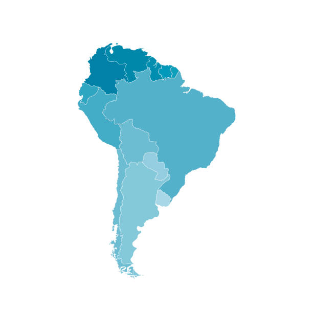
Political map of South America. Simple flat blank vector map in four shades of turquoise blue.
Map of South America and Central America. Vector illustration in HD very easy to make edits.

South America flag collection of all sovereign countries. Flags in official RGB colors modified to aspect ratio 3-2 sorted alphabetically. Simple flat vector illustration.

Latin America map, North America, Caribbean, Central America, South America.
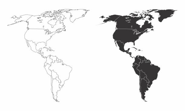
Simplified maps of the americas with countries boundaries. Black and white outlines.
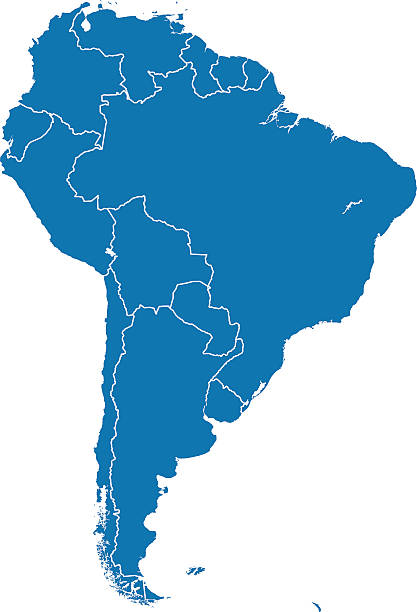
Vector of highly detailed South America map , Each country is an individual object and can be colored separately.

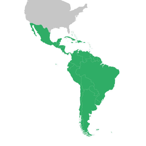
Latin America countries political map with national borders. Countries from the northern border of Mexico to the southern tip of South America, including the Caribbean. English labeling. Illustration.

Peru vector map. Editable template with regions, cities, red pins and blue surface on white background.
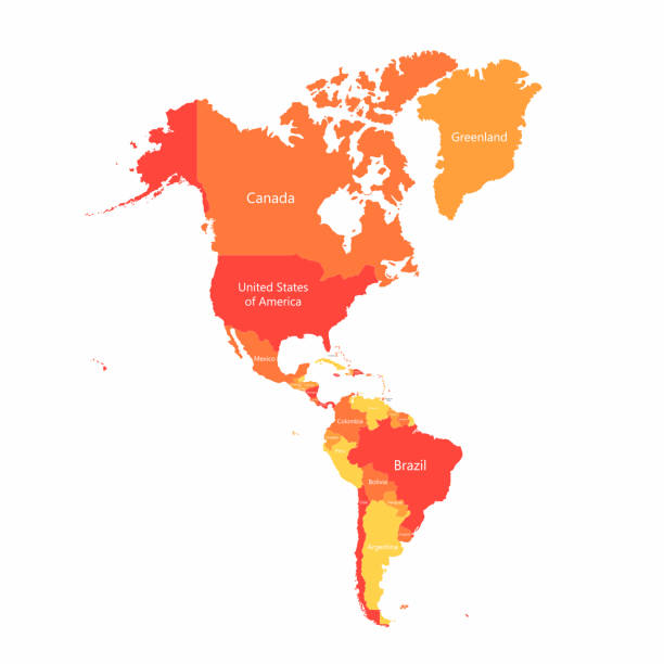
North America, South America, and Central America on a continental map
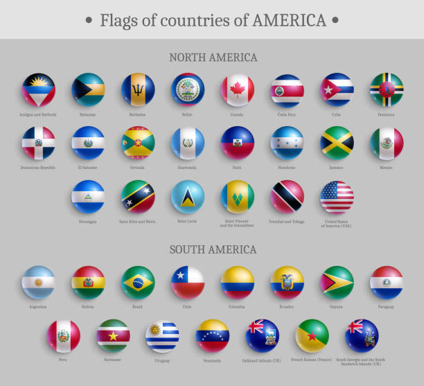
Flags of countries of America round shape badges set. North and South America official national flags glossy buttons or magnets realistic vector illustration

Map of Peru - With glowing point and lines scales on the dark gradient background, 3D mesh polygonal network connections. Vector illustration eps 10.
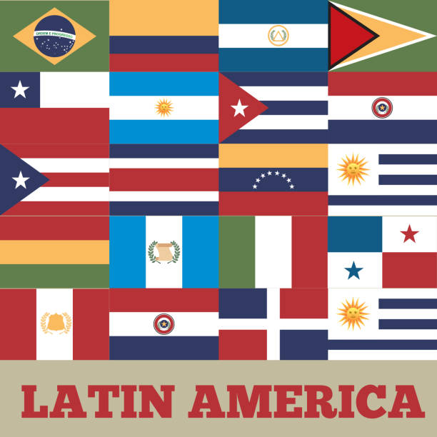
flags of latin america countries. colorful design. vector illustration
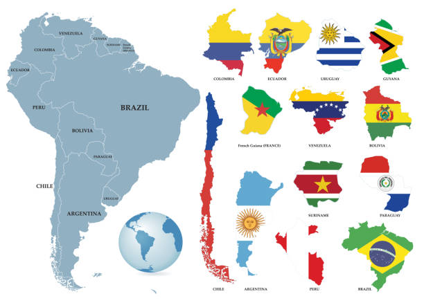
Vector Territories of countries on South America continent. Separate countries with flags.
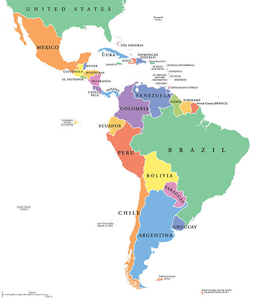
Latin America single states political map. Countries in different colors, with national borders and English country names. From Mexico to the southern tip of South America, including the Caribbean.