Images
Tennessee Map Pictures, Images and Stock Photos
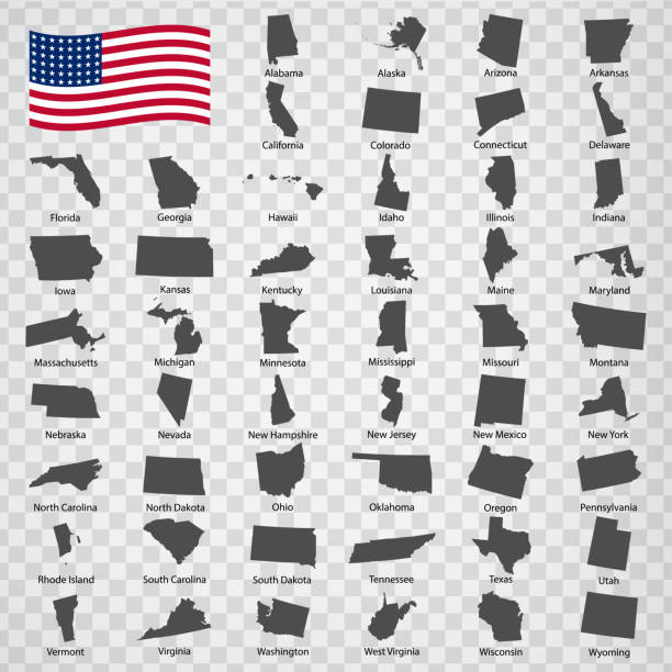
Browse 5,100+ tennessee map stock photos and images available, or search for nashville tennessee map or tennessee map vector to find more great stock photos and pictures.
tennessee administrative and political vector map

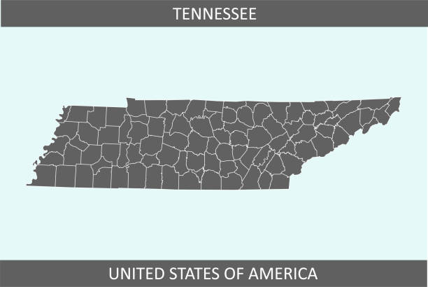
Detailed outline map of Tennessee with capital

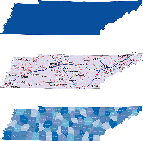
illustration of Tennessee state map with road map for your design and products.
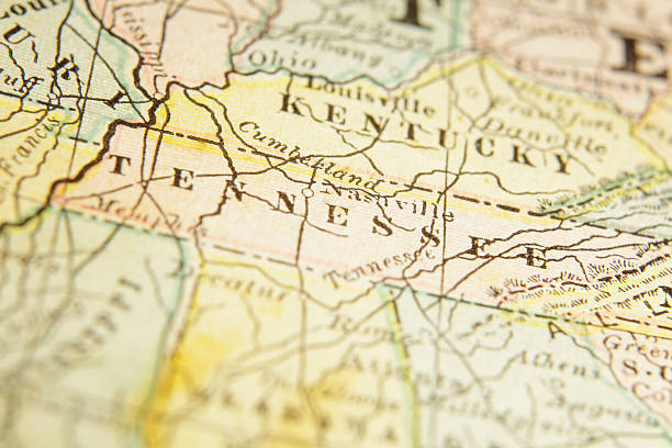
Macro shot on a US map from 1881 showing the state of Tennessee. Taken with Canon 5D Mark II and Sigma Lens. Selective focus on the center of the image.SEE MORE US STATES MACRO SHOTS ON A MAP:
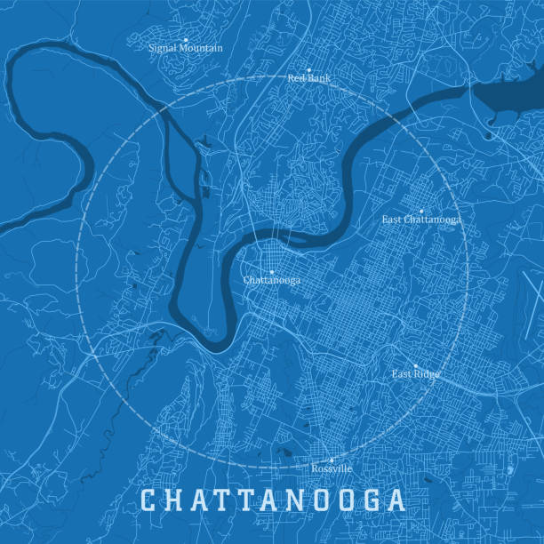
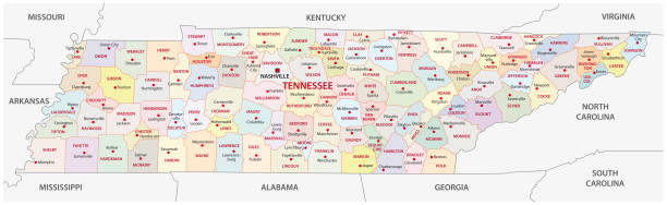
Chattanooga TN City Vector Road Map Blue Text. All source data is in the public domain. U.S. Census Bureau Census Tiger. Used Layers: areawater, linearwater, roads.

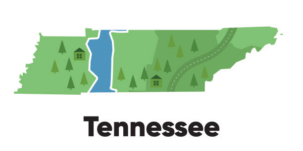
Tennessee map shape of states cartoon style with forest tree and river landscape graphic illustration vector


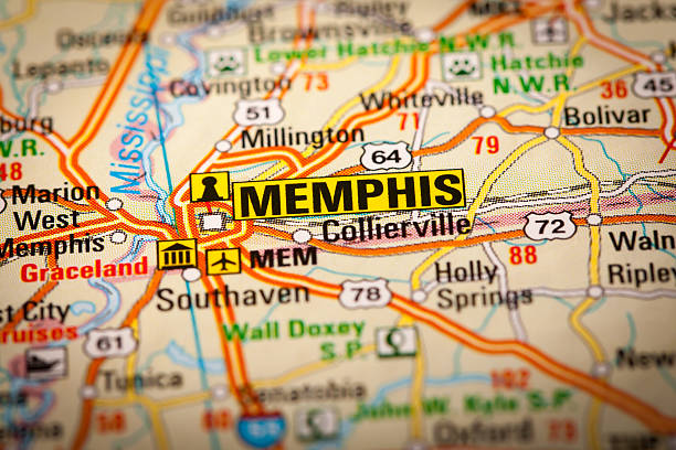
Poster Style Topographic / Road map of Memphis, TN, USA. Original map data is open data via © OpenStreetMap contributors. All maps are layered and easy to edit. Roads have editable stroke.
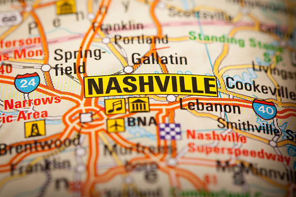
Map Photography: Nashville City on a Road Map
Map Photography: Memphis City on a Road Map
The map is accurately prepared by a map expert.
vector of the Tennessee map
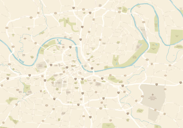
A map of the main part of Nashville, TN. Includes highways, freeways and the main roads, as well as parks and points of interest, all on separate layers.
Detailed Vector Map of Tennessee with pointers.
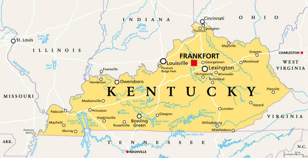
Kentucky, KY, political map with capital Frankfort and largest cities. Commonwealth of Kentucky. State in the Southeastern region of the United States of America. Bluegrass State. Illustration. Vector

Map of Sullivan County - Tennessee, in a trendy vintage style. Beautiful retro illustration with old textured paper and light rays in the background (colors used: blue, green, beige and black for the outline). Vector Illustration (EPS file, well layered and grouped). Easy to edit, manipulate, resize or colorize. Vector and Jpeg file of different sizes.

Topographic / Road map of Memphis, TN, USA. Original map data is open data via © OpenStreetMap contributors. All maps are layered and easy to edit. Roads have editable stroke.
"Vector illustration of map of Tennessee wit major roads, rivers and lakes."
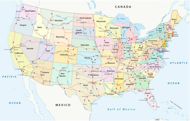
us interstate highway, administrative and political vectormap
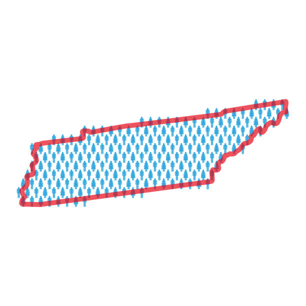
Tennessee population map. Stick figures people map with bold red translucent state border. Pattern of men and women icons. Isolated vector illustration. Editable stroke.

3D render and image composing: Topographic Map of Tennessee, USA. Isolated on White. High quality relief structure!
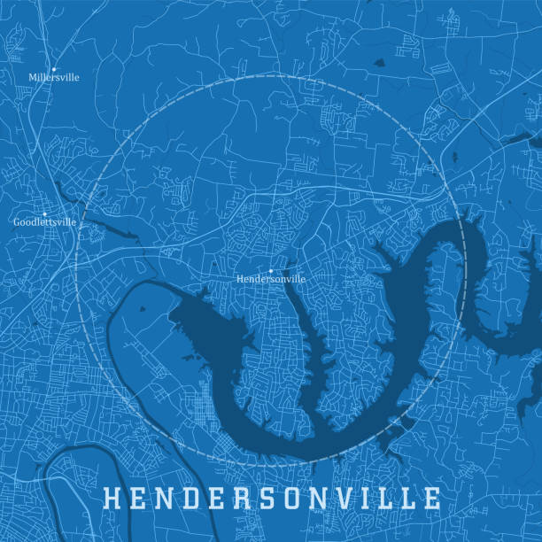
Hendersonville TN City Vector Road Map Blue Text. All source data is in the public domain. U.S. Census Bureau Census Tiger. Used Layers: areawater, linearwater, roads.

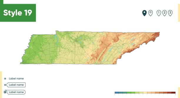
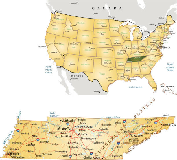
Tennessee, USA - high detailed physical map. Vector map. Dem map. Vector template for website, design, cover, infographics. Vector illustration.
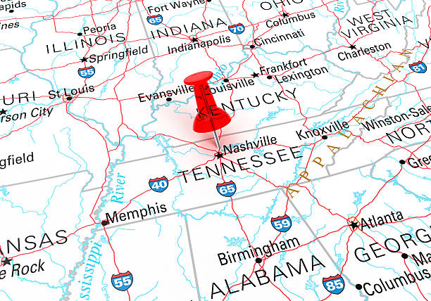
Red Thumbtack Over Tennessee State USA Map. 3D rendering

Topographic / Road map of Pigeon Forge, TN. Map data is public domain via census.gov. All maps are layered and easy to edit. Roads are editable stroke.
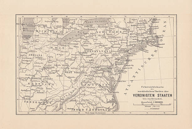
Map of the Northeast United States of America. Wood engraving, published in 1882.
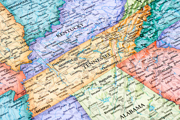
Map of Tennessee and Kentucky States in USA. Detail from the World Map.
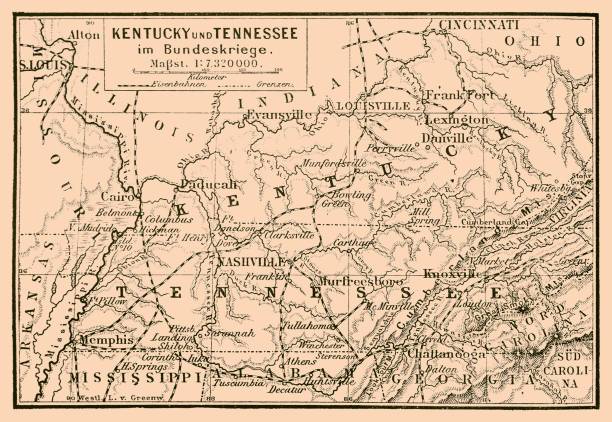
Illustration of a Kentucky and Tennessee in federal war map


Grunge map of the state of Tennessee (USA) with its flag printed within its border on an old paper.


USA map vector illustration art
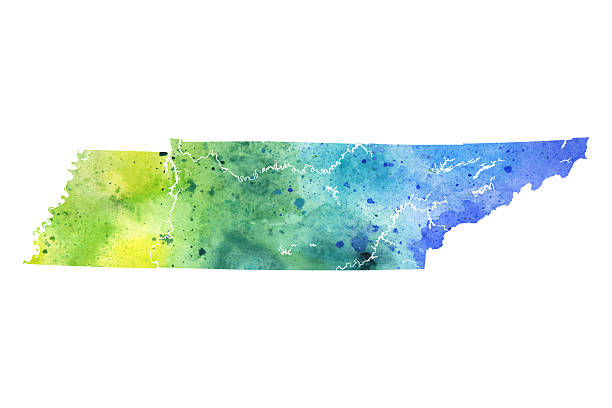
A highly detailed map of the US state of Tennessee with a multicoloured, blue and green hand painted watercolor texture. Map is isolated on a white background. Raster illustration.


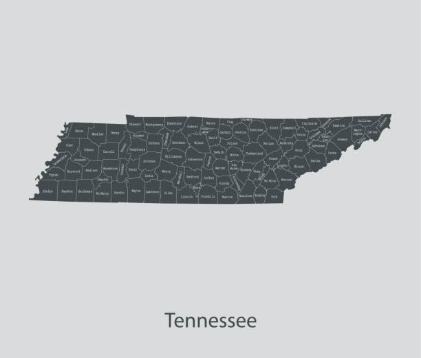
Tennessee Map Network in Black And White. The colors in the .eps-file are in RGB. Transparencies used. Included files are EPS (v10) and Hi-Res JPG (3472 x 3472 px).
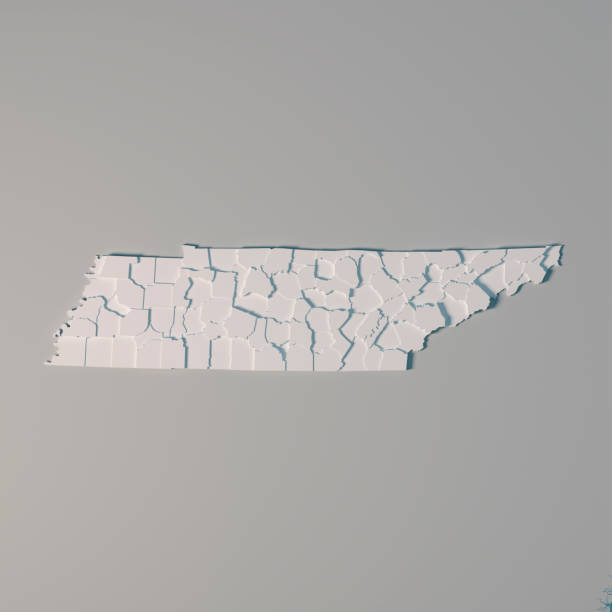
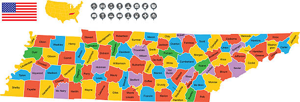
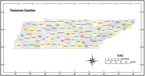
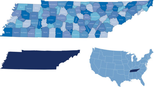
3D Render of an US State map of Tennessee with the Administrative Divisions, Counties. All source data is in the public domain. USGS The National Map: https://viewer.nationalmap.gov/basic/
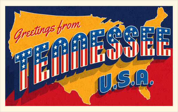
Greetings from Tennessee USA. Retro style postcard with patriotic stars and stripes lettering and United States map in the background. For 4th of July or Memorial Day travel. Vector illustration.


http://farm8.staticflickr.com/7189/6818724910_54c206caf8.jpg
Topographic / Road map of Murfreesboro, TN. Map data is public domain via census.gov. All maps are layered and easy to edit. Roads are editable stroke.
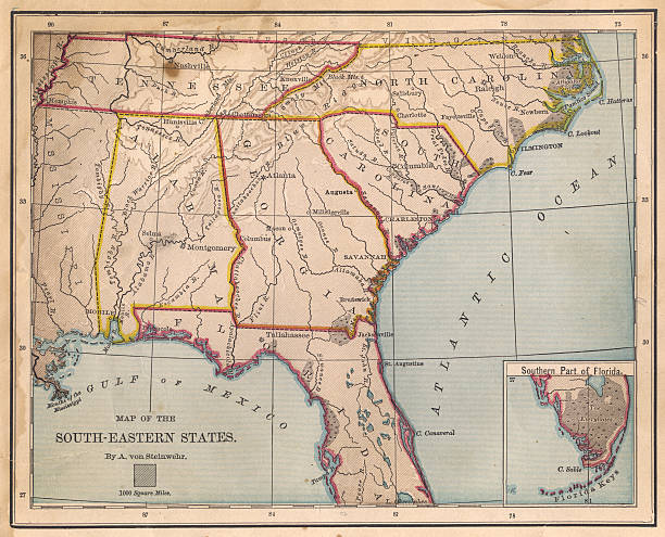
Color image of an old map of the South Eastern (United) States, from the 1800's.

Flat map of Tennessee state with cities against black background.
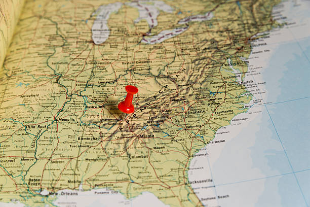
Chattanooga marked with red pushpin on map. Selected focus on Chattanooga and bright red puspin. Pushpin is in an angle. Surrounding states and Nashville can also be seen.
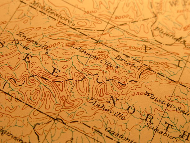
Antique map 1916 government-copyright free. Rich paper texture and warm colors make this a nice background or decor print. Centered on Great Smoky mountains region on boarder of Tennessee and North Carolina. Includes Great Smoky Mtns. National Park

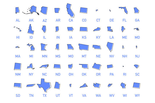
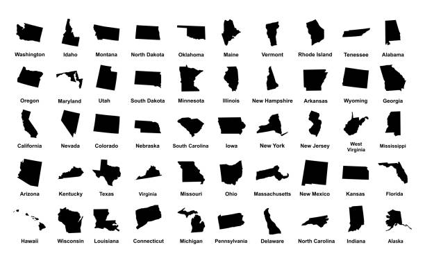
USA states vector illustration. All 50 states of America shapes coloured in lilac isolated on white background.
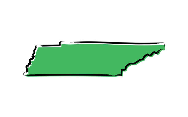
Stylized green sketch map of Tennessee illustration vector
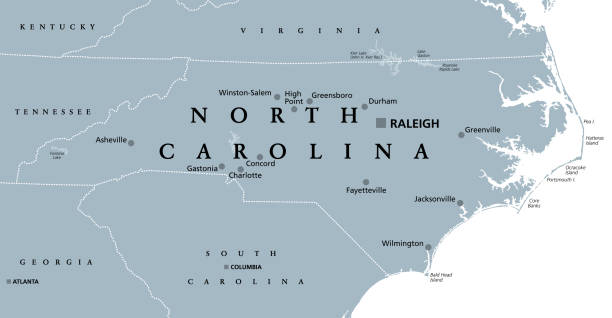
North Carolina, NC, gray political map. With capital Raleigh and largest cities. State in the southeastern region of the United States of America. Old North State. Tar Heel State. Illustration. Vector
highly detailed map from Tennessee state & counties for your design and products.
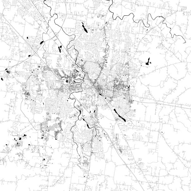
Topographic / Road map of Murfreesboro, TN. Map data is public domain via census.gov. All maps are layered and easy to edit. Roads are editable stroke.
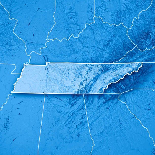
3D Render of a Topographic Map of the State of Tennessee, USA. All source data is in the public domain. Boundaries Level 1: USGS, National Map, National Boundary Data. https://viewer.nationalmap.gov/basic/#productSearch Relief texture and Rivers: SRTM data courtesy of USGS. URL of source image: https://e4ftl01.cr.usgs.gov//MODV6_Dal_D/SRTM/SRTMGL1.003/2000.02.11/ Water texture: SRTM Water Body SWDB: https://dds.cr.usgs.gov/srtm/version2_1/SWBD/
Previous
of 86Next