Images
Topography Stock Photos
Browse 338,700+ topography stock photos and images available, or search for topography background or topographical map to find more great stock photos and pictures.
Related searches:
topography backgroundtopographical maptopographic mapabstract topographymaptopography patterntopography linestopography maptopography vectortopography texturetopography 3d3d topographymountain topographyocean topographycorneal topographydigital topographywhite topographyearth topographytopography iconlake topographyland topographytopography illustrationcity topographytopography circlewater topographytopography linepaper topographytexas topographytopography logouk topography
Topographic map contours in hilly or mountainous terrain
Topographic map. Grid, texture, relief contour. Sea navigation contour backdrop, ocean or land territory topography vector graphic background or cartography contour topographical pattern wallpaper
Seamless vector topographic map background white on dark. Line topography map seamless pattern. Mountain hiking trail over terrain. Contour background geographic grid.
Our creative library is free of AI-generated contentChoose your visuals with confidence knowing our creative library is free from AI-generated content, so your searches only return safe, high-quality visuals you can trust.


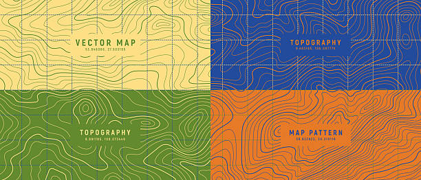
topography map with line paths with dash connection lines
Topographic map background. Geographic line map with elevation assignments. Contour background geographic grid.

Topographic map contour background. Topo map with elevation. Contour map vector. Geographic World Topography map grid abstract .

Topographic map background concept with space for your copy. EPS 10 file. Transparency effects used on highlight elements.

Line topography map logo. Wood ring texture, vector logo tree ring, editable stroke.

Fully editable and scalable vector illustration of topographic map on a light background. Great as an abstract background.

Topographic map background with space for copy. EPS 10 file. Transparency effects used on highlight elements.


Vintage Detailed Contour Topographic Map Of Wild West Abstract Vector Background

Black and white topographic map with contour lines and elevation marks. Stylish fantasy topo map for navigation with terrain contour and elevation signs.
Lie Of The Ground Vector Topographic Detailed Map With Route And Coordinates Abstract Background
Stylized height of the topographic contour in lines and contours. Beautiful background, picture. Design for location. Concept of conditional geographical pattern and topography. Vector illustration
Topographic elevation map with editable stroke.

A retro topographic contour line pattern on a light background, ideal for geography, hiking, or abstract backgrounds in modern and vintage design projects
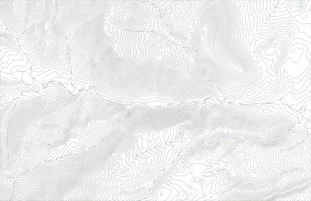
Topographic map contours with streams in hilly or mountainous terrain

White Black Military Topographic Contour Map Vector Graphic Abstract Background. Topography Wavy Lines Pattern Modern Wide Abstraction. Outline Terrain Relief Cartography Geographical Map Illustration
Futuristic wireframe landscape background. Vector digital illustration from wave white lines. Geometric abstraction

Topographic contour lines in mountainous terrain with forest and streams. Public domain topographic data compiled by the U.S. Geological Survey, sampled and modified from Graham Peak, Wyoming, US Topo quadrangle, 2015. http://store.usgs.gov and http://ims.er.usgs.gov/gda_services/download?item_id=7099469.

Background of the topographic map. Topo map with elevation. Geographic line mountain relief. Vector illustration

Abstract vintage topographic map background. Retro beige topographic lines backdrop. Mountain geographic line waves backdrop for presentations, banners, flyers
Topography shapes background collection. Abstract wavy lines pattern design elements set. Topographic contour map texture. Stylized geographic landscape backdrop vector illustration

Vector artistic covers design. Black distort lines wall design backgrounds. Trendy pattern, graphic poster, cards.

topographic lines seamless patterns vector collection, high quality tileable backgrounds


Minimal Geographic Topography Map with Contour Lines Abstract Landscape Vector Background
Vector Modern Dark Grey Topography Contour Map With Relief Elevation. Geographic Terrain Area Satellite View Digital Cartographic UI. Mountains Hiking Route Coordinates Abstract Illustration
Grey contours vector topography. Geographic mountain topography vector illustration. Topographic pattern texture. Map on land vector terrain. Elevation graphic contour height lines. Topographic map height abstract polygonal land. Mountain topographic contour in lines and contours.

The concept of conventional geography and route of the area. Wide size canvas. Blue on a yellow background. Vector illustration.
Abstract Blank Detailed Topographic Contour Map Subtle White Vector Background


Abstract digital landscape with particles dots and connection lines
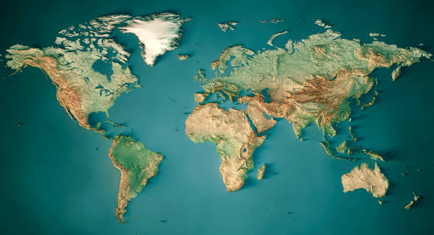
3D Render of a Topographic Map of the World in Miller Projection. All source data is in the public domain.Color and Water texture: Made with Natural Earth. http://www.naturalearthdata.com/downloads/10m-raster-data/10m-cross-blend-hypso/http://www.naturalearthdata.com/downloads/110m-physical-vectors/Relief texture: GMTED 2010 data courtesy of USGS. URL of source image: https://topotools.cr.usgs.gov/gmted_viewer/viewer.htm
Topographic map seamless pattern, topography line map. Vector stock illustration.


Grey contours vector topography. Geographic mountain topography vector illustration. Topographic pattern texture. Map on land vector terrain. Vector Set.

Retro topographic map. Geographic contour map. Abstract outline grid.


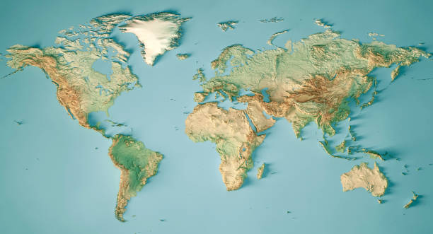
3D Render of a Topographic Map of the World in Miller Projection. All source data is in the public domain.Color and Water texture: Made with Natural Earth. http://www.naturalearthdata.com/downloads/10m-raster-data/10m-cross-blend-hypso/http://www.naturalearthdata.com/downloads/110m-physical-vectors/Relief texture: GMTED 2010 data courtesy of USGS. URL of source image: https://topotools.cr.usgs.gov/gmted_viewer/viewer.htm
Tree ring clipart, vector logo wood ring. Circle topography map stock illustration.

Topographic map posters set. Covers or flyers with contour lines of geographic relief. Stylish design with cartography texture. Flat outline vector illustration collection isolated on background
of100Next