
USGS The National Map: National Transportation Dataset (NTD) Map stock vector")
Description
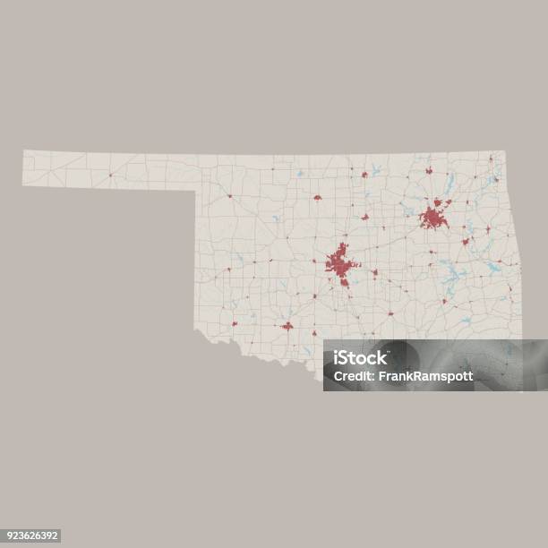
Vector Illustration of a Road Map of Oklahoma State, USA. All source data is in the public domain. U.S. Geological Survey, US Topo Used Layers: USGS The National Map: National Hydrography Dataset (NHD) USGS The National Map: National Transportation Dataset (NTD)