Black And White Map Of United States stock illustrations
Browse 14,000+ black and white map of united states stock illustrations and vector graphics available royalty-free, or start a new search to explore more great stock images and vector art.
Most popular
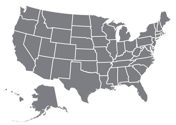
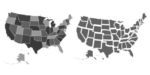
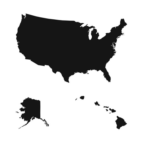
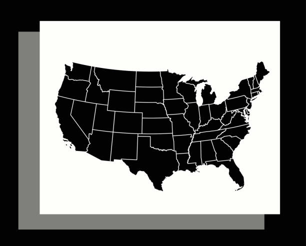
A silhouette of the USA, including Alaska and Hawaii. File is built in CMYK for optimal printing and the map is gray.
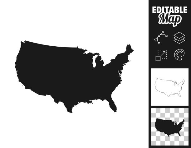
Map of USA for your own design. Three maps with editable stroke included in the bundle: - One black map on a white background. - One line map with only a thin black outline in a line art style (you can adjust the stroke weight as you want). - One map on a blank transparent background (for change background or texture). The layers are named to facilitate your customization. Vector Illustration (EPS file, well layered and grouped). Easy to edit, manipulate, resize or colorize. Vector and Jpeg file of different sizes.
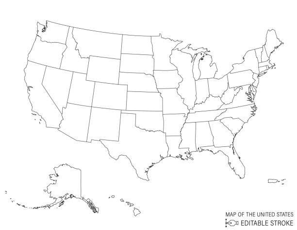
United States Of America map in line art style. The black lines are editable and the map has a transparent base in the vector file. The state lines are on their own layer and can be turned on to use the outline of the country. The individual states cannot be separated.
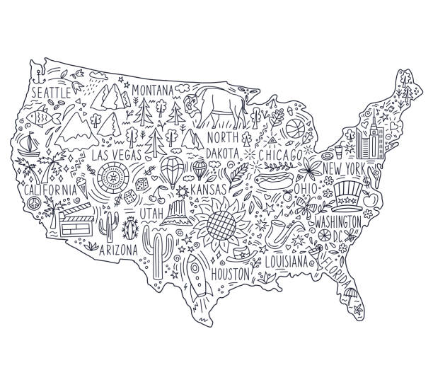
Doodle Map of USA With States, can be used for business designs, presentation designs or any suitable designs.
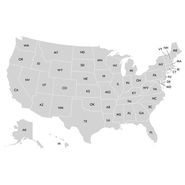
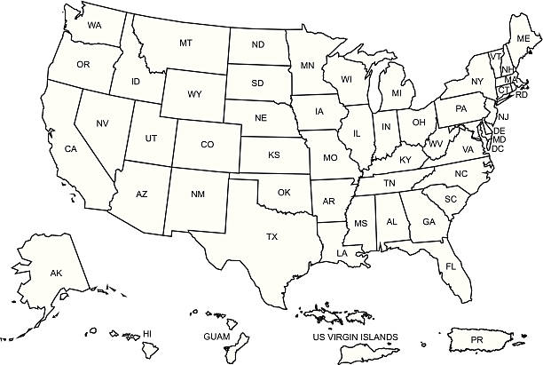
Vector illustration of the map of the United States with the names of the states in short form

Vector set of different globe views.
U.S.A Map Black and White Square Icon. This 100% royalty free vector illustration is featuring the square button with a drop shadow and the main icon is depicted in black and in grey for a roll-over effect.. This 100% royalty free vector illustration is featuring the square button with a drop shadow and the main icon is depicted in black and in grey for a roll-over effect.
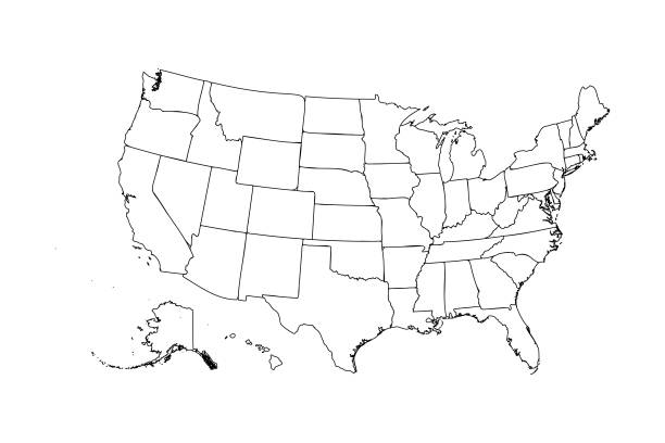
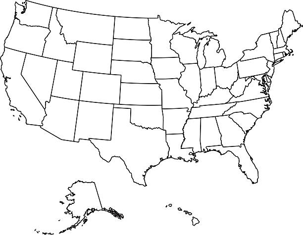
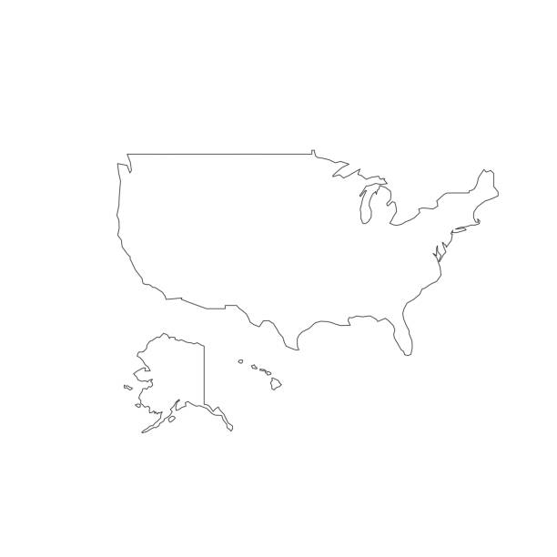
Vector illustration of the contour of the map of the United States of America
United States Map Icon on Black and White Vector Backgrounds. This vector illustration includes two variations of the icon one in black on a light background on the left and another version in white on a dark background positioned on the right. The vector icon is simple yet elegant and can be used in a variety of ways including website or mobile application icon. This royalty free image is 100% vector based and all design elements can be scaled to any size.
Mountain landscape of wavy lines. Vector background with mountain ranges.
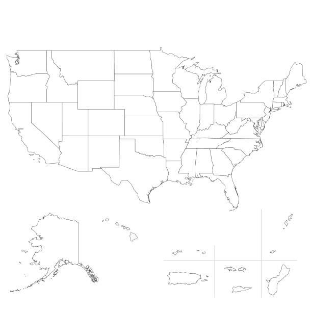
The USA map was traced and simplified in Adobe Illustrator on 8 MAY 2012 from a copyright-free resource below:
vector map of the United States ,for your design and products.
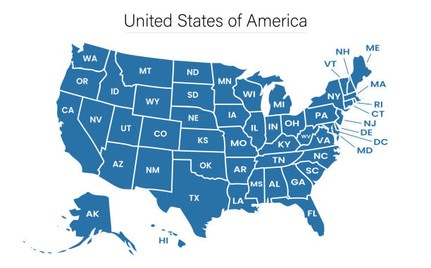
United States of America map with state borders, Vector illustration in HD very easy to make edits.
Topographic / Road map of Washington, D.C., USA. Original map data is open data via © OpenStreetMap contributors. All maps are layered and easy to edit. Roads are editable stroke.
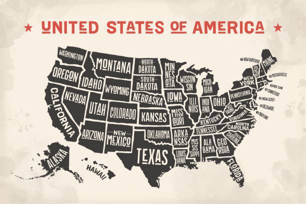
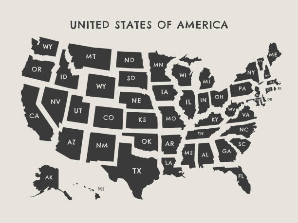
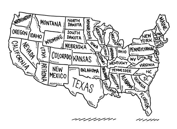
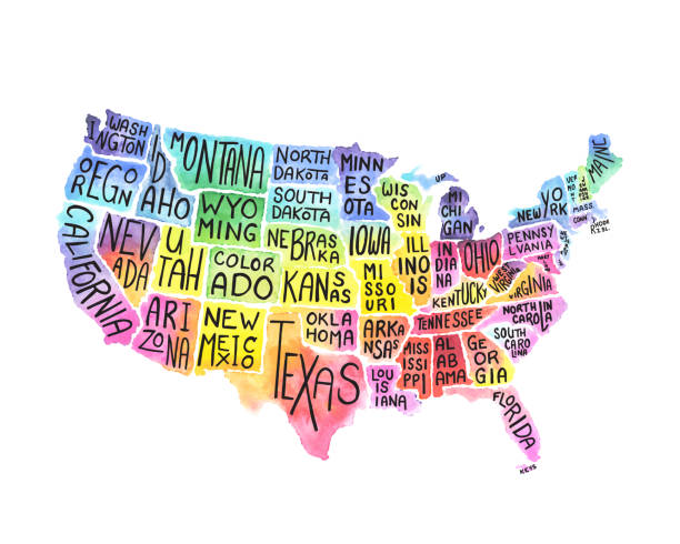
Poster map of United States of America with state names. Black and white print map of USA for t-shirt, poster or geographic themes. Hand-drawn black map with states. Vector Illustration

Vector illustration of the map of the USA in a spotted style
Hand-drawn vector drawing of an USA States Map. Black-and-White sketch on a transparent background (.eps-file). Included files are EPS (v10) and Hi-Res JPG.
United States of America Vector Illustration
Hand drawn map of the United States. Concept of travel to the United States. Monochrome black and white vector illustartion. American symbols on the map.
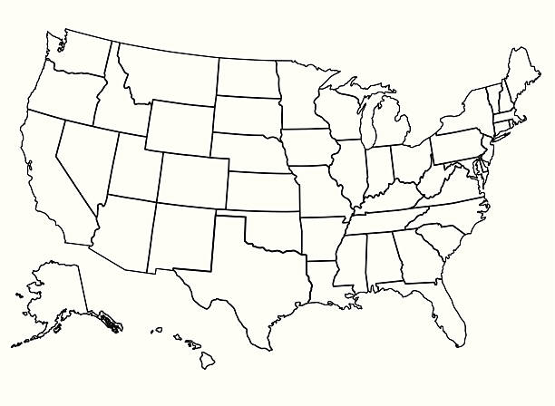
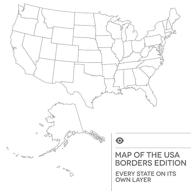
Detailed vector map of the United States. Each State is it's own shape and can be colored to your preference. Excellent for political elections data.
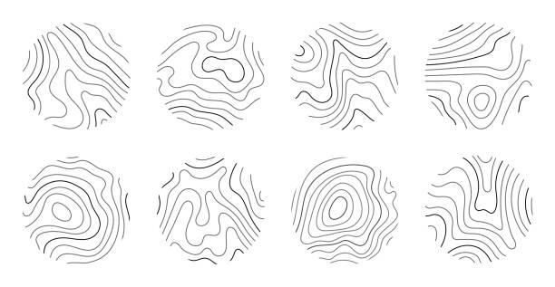
Growth rings of a tree. Wood stump line design. Vector illustration.
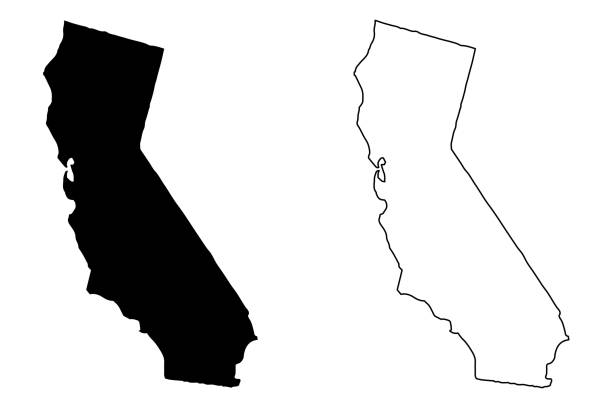
California map vector illustration, scribble sketch California map
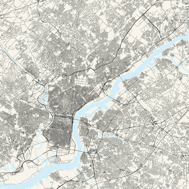
Topographic / Road map of Philadelphia, Pennsylvania. Original map data is public domain sourced from www.census.gov/
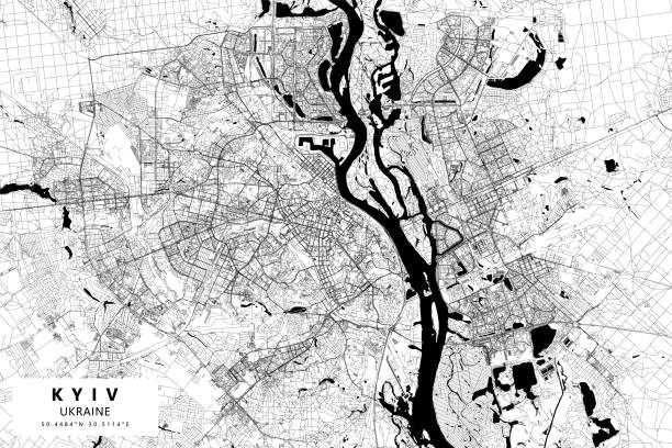
Poster Style Topographic / Road map of Kyiv, Ukraine. Map data is open data via openstreetmap contributors. All maps are layered and easy to edit. Roads are editable stroke.
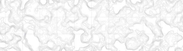
Ultra Wide Wallpaper Abstract Blank Topographic Contour Map Subtle White Vector Background

Black and White Transparent Abstract Polygonal Map of Africa, African Digital Network Connections, Black and White IT, Technology Background with Copyspace, Creative Wide Scale Vector Design Template

Vector illustration of the contour of the map of the United States of America
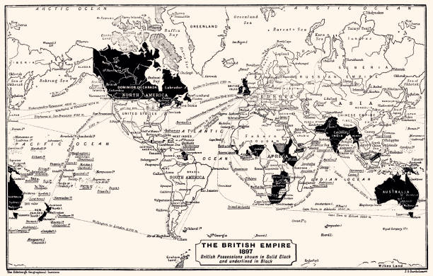
1897: The British Empire. British Possessions shown in Solid Black and underlined in Black. Vintage illustration circa late 19th century. Digital restoration by Pictore.
This modern abstract design of USA map can be printed as a decoration on the wall.
Highly detailed map of the United States of America and its borders

Vector illustration of a map of the United States of America built with random geometric shapes
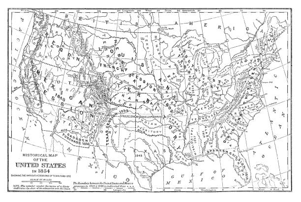
Historical map of the United States in 1854 - Scanned 1887 Engraving

Vector illustration of the United States of America states map with grunge textures and patterns. Black and white illustration. Layered file for easy editing.
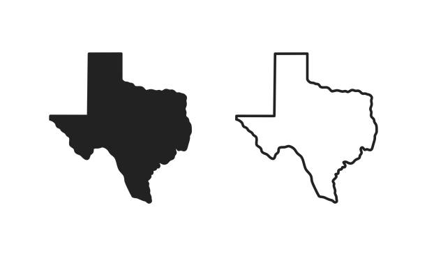
Texas outline state of USA. Map in black and white color options. Vector Illustration.
The USA map was traced and simplified in Adobe Illustrator on 8 MAY 2012 from a copyright-free resource below:
A set of ride sharing and carpooling icons. The icons include drivers, riders, carpooling, a driver pulling up to a house, calendar, search for a ride, a car with passenger, using a smartphone to find a ride, a driver standing in front of car, a destination marker, map, traffic, a driver holding a drivers license, multiple people in a car, paying for a ride-share via a smartphone, a driver holding cash and the elimination of CO2 emissions achieved by using a ride-share service.
A set of navigation and tracking icons that include editable strokes or outlines using the EPS vector file. The icons include a person being tracked using a GPS tracker, pushpin on exact location, smartphone being used for navigation, map marker, car using GPS, navigation city map, satellite, smartwatch with GPS, airplane using GSP, map, person running with GPS enabled watch, person hiking using GPS tracker, handheld GPS device, chipped dog, navigation device, person riding bike using GPS enabled wearable device, directions, open road, elderly person wearing GPS tracking device and others.
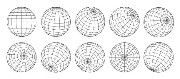
3d globe grid, planet sphere and ball wireframe. Vector Earth globe surface with discrete global grid or mosaic of longitude and latitude meridians and parallels, isolated world map wire frame net
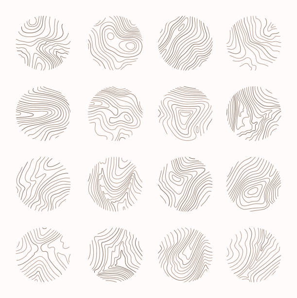
Tree ring, wood line art. Vector topography illustration.
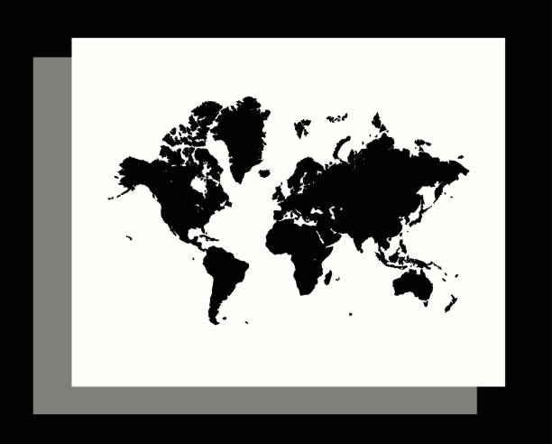
This modern abstract design of World map can be printed as a decoration on the wall.
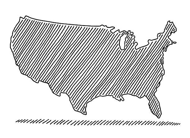
Simple linear map of the usa. Stock Vector illustration isolated
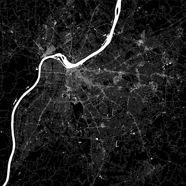
Topographic / Road map of Louisville, KY, USA. Original map data is open data via © OpenStreetMap contributors. All maps are layered and easy to edit. Roads have editable stroke.
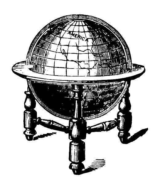
"Antique illsutration of a globe centered on America, isolated on white. Very high XXXL resolution image scanned at 600 dpi. Published by Bruce's New York Typefoundry (George Bruce's Sons) in 1882. CLICK ON THE LINKS BELOW TO SEE SIMILAR IMAGES:"
Hand-drawn vector drawing of a Scribbled Map of the USA. Black-and-White sketch on a transparent background (.eps-file). Included files are EPS (v10) and Hi-Res JPG.
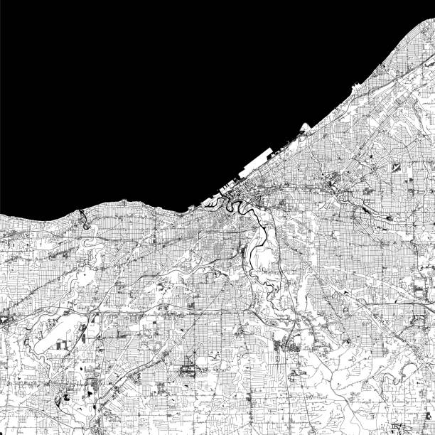
Topographic / Road map of Cleveland, Ohio . USA United States of America. Original map data is open data via © OpenStreetMap contributors. All maps are layered and easy to edit. Roads are editable stroke.

USA on Circuit Board
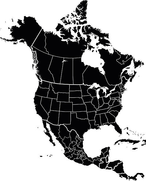
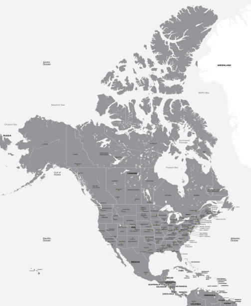
Detailed map of North America..
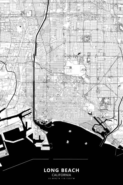
Poster Style Topographic / Road map of Long Beach, California CA. USA United States of America. Original map data is open data via © OpenStreetMap contributors. All maps are layered and easy to edit. Roads are editable stroke.

Poster Style Topographic / Road map of Munich, Germany. Original map data is open data via © OpenStreetMap contributors. All maps are layered and easy to edit. Roads are editable stroke.
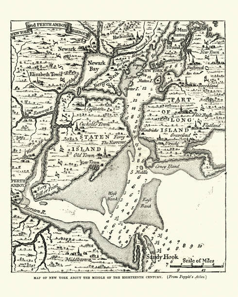
Vintage engraving of a Map of New York in the mid 18th Century
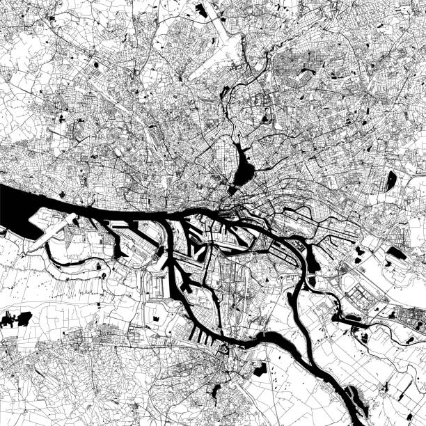
Topographic / Road map of Hamburg, Germany. Map data is open data via OpenStreetMap contributors. All maps are layered and easy to edit. Roads are editable stroke.