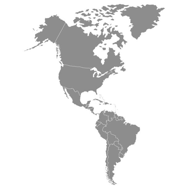
Americas map. Vector
Browse 2,655,000+ the americas stock illustrations and vector graphics available royalty-free, or search for map of the americas or tower of the americas to find more great stock images and vector art.
Americas map. Vector
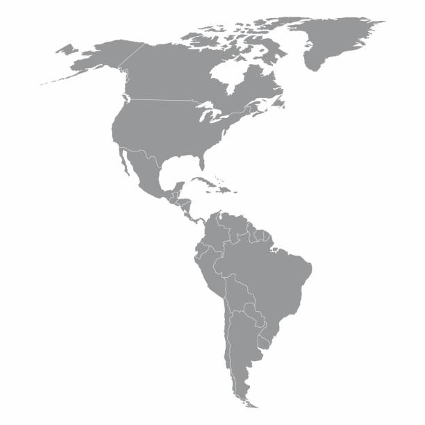
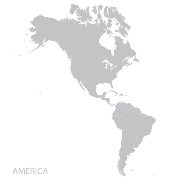
Illustration of a gray North and South America map
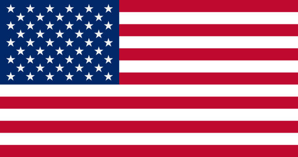
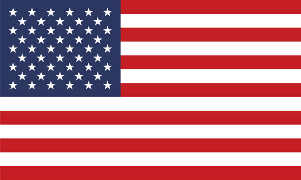
The United States of America Flag, vector illustration.
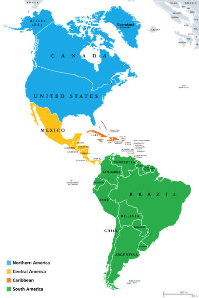
The Americas, geoscheme and political map. The North American subregion with intermediate regions Caribbean, Northern and Central America, and the subregion South America. Subdivisions for statistics.
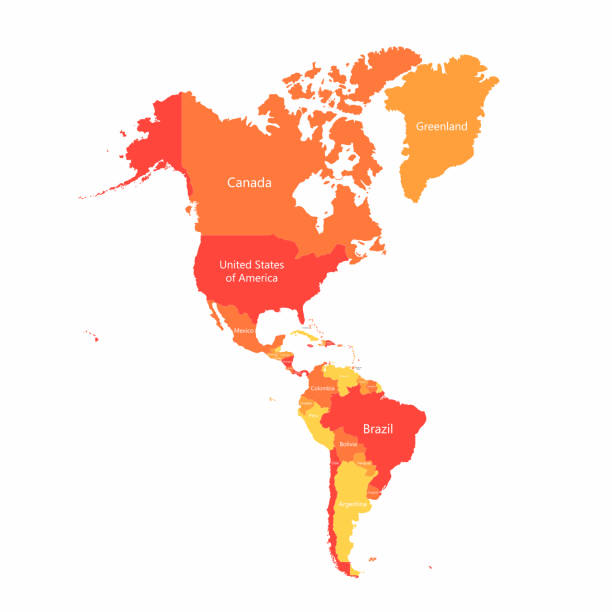
Vector South America and North America map with countries borders. Abstract red and yellow American countries on map isolated on white background
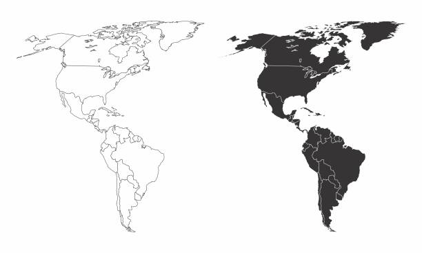
Simplified maps of the americas with countries boundaries. Black and white outlines.
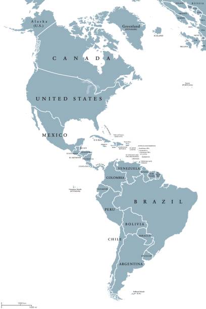
The Americas political map with countries and borders of the two continents North and South America. English labeling. Gray illustration on white background. Vector.
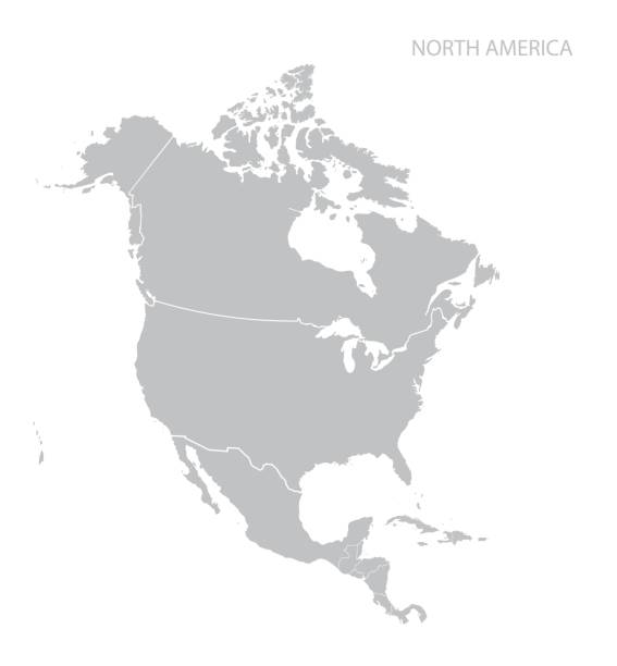
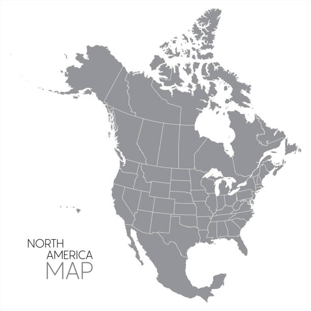
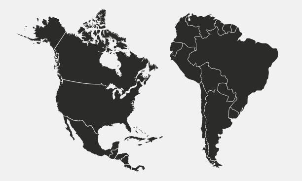
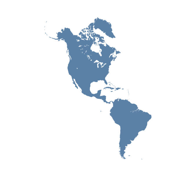
Map of North America. Vector.
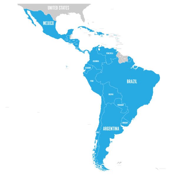
Political map of Latin America. Latin american states blue highlighted in the map of South America, Central America and Caribbean. Vector illustration.
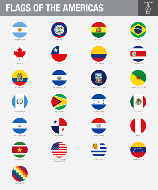
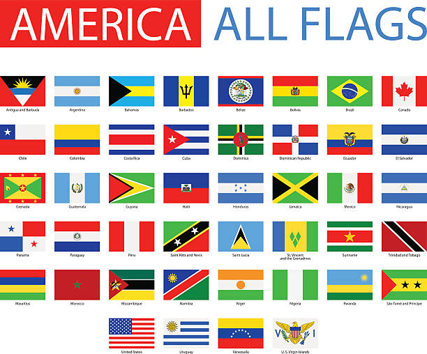
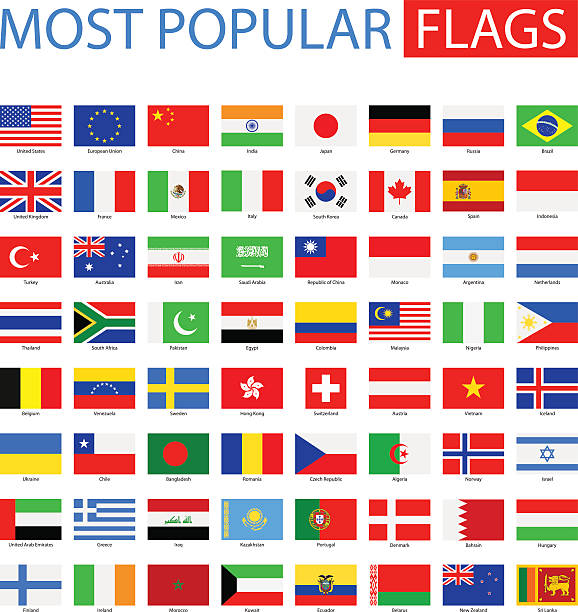
A set of North, South and Central American country flags. Drawn in the correct aspect ratio. File is built in the CMYK color space for optimal printing, and can easily be converted to RGB without any color shifts.
World Map EPS 10 Vector Illustration
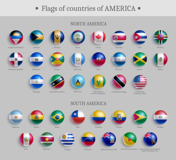
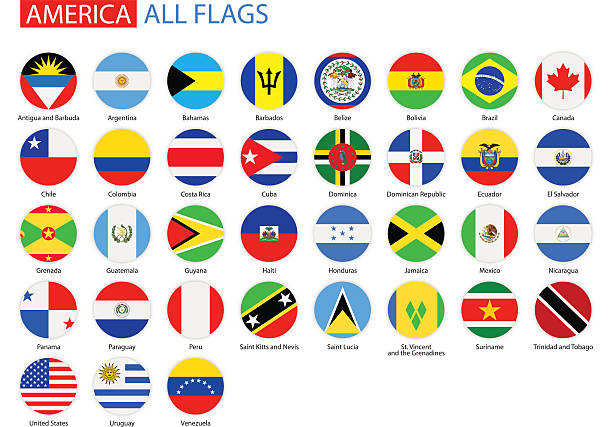
Flags of countries of America round shape badges set. North and South America official national flags glossy buttons or magnets realistic vector illustration

Independence Day is celebrated on the 4th of July of each year in the USA and it is the celebration of the day the United States Of America declared its independence from the control of Great Britain. Independence Day is commonly celebrated with the lighting of fireworks or electronic light shows, music, and outdoor activities the display of the "American" flag, and the display of the USA flag colors red, white, and blue.
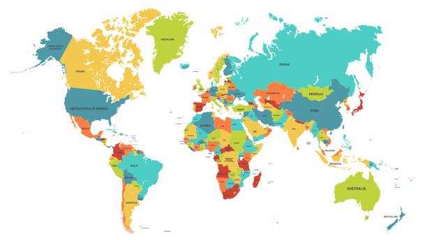
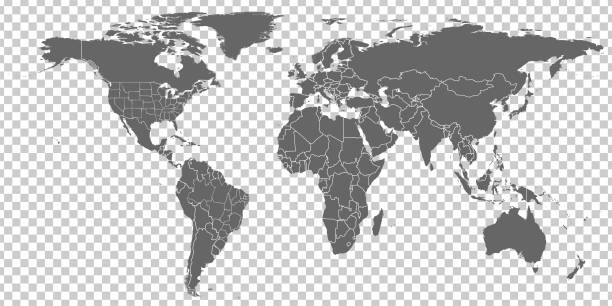
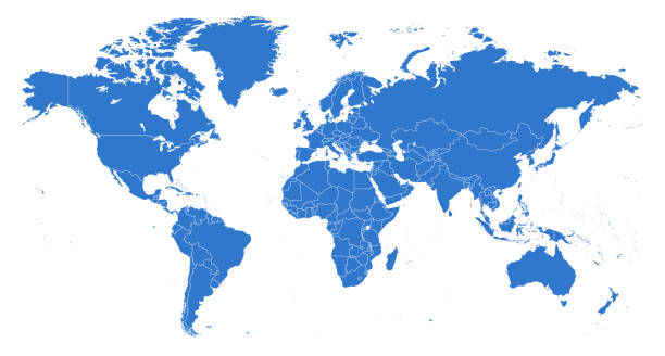
Colored world map. Political maps, colourful world countries and country names. Geography politics map, world land atlas or planet cartography vector illustration

Map of America created with a mesh of thin bright blue lines and glowing dots, isolated on a dark blue background. Conceptual illustration of networks (communication, social, internet, ...). Vector Illustration (EPS10, well layered and grouped). Easy to edit, manipulate, resize or colorize.

Vector illustration with simplified map of North and South America continent. Blue low poly triangular silhouettes, white background.
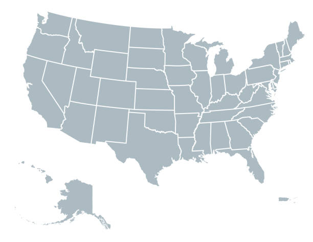
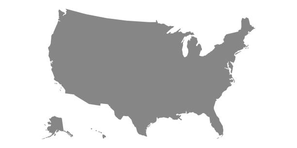
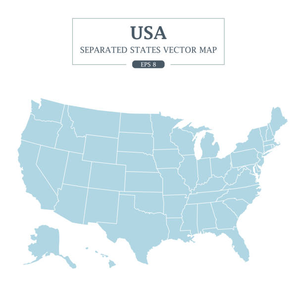
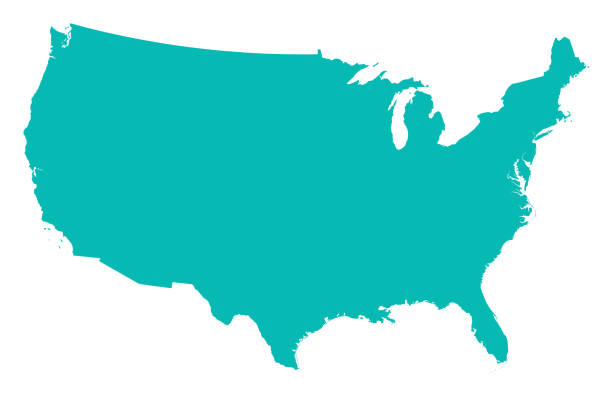
United States Of America map with state divisions an a transparent base. Includes Alaska and Hawaii. Flat color for easy editing. File was created in CMYK

doodle freehand drawing of south america map. vector illustration.
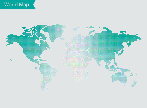
vector of the World map
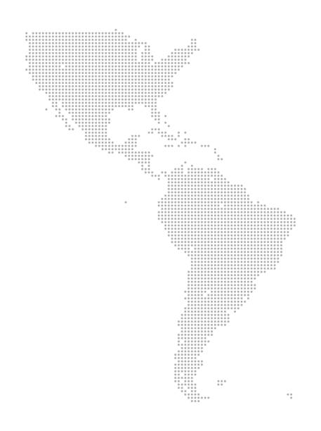
This detailed map illustration using dots is an ideal design element for your project. Easy to color and customize if required, it can be scaled to any size without loss of quality.

Vector illustration of the map of the United States of America and the american flag for the 4th of July holiday designs and celebration. Perfect also for social media projects and all kinds of design projects.

Independence Day is celebrated on the 4th of July of each year in the USA and it is the celebration of the day the United States Of America declared its independence from the control of Great Britain. Independence Day is commonly celebrated with the lighting of fireworks or electronic light shows, music, and outdoor activities the display of the "American" flag, and the display of the USA flag colors red, white, and blue.
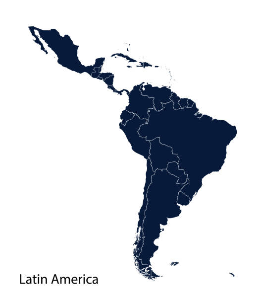
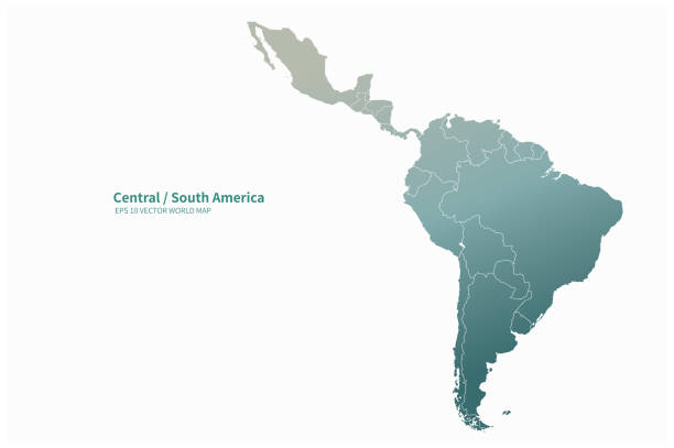
Latin America map, North America, Caribbean, Central America, South America.

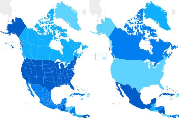
Political Map of North and South America
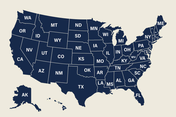
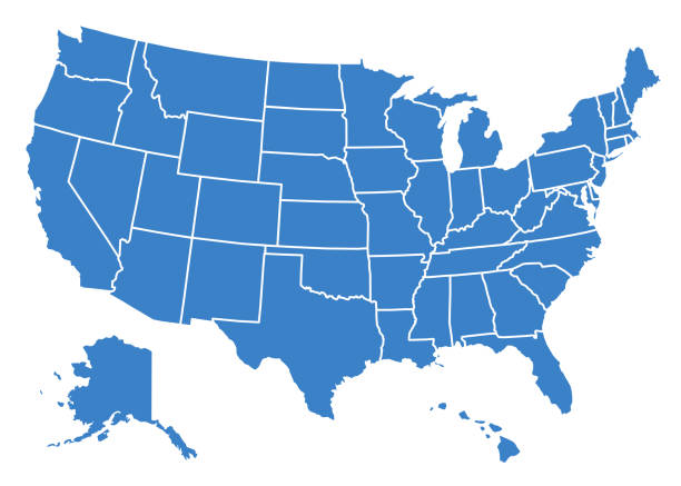
United States vector map. USA map with each state short name. Politics and Elections concept.
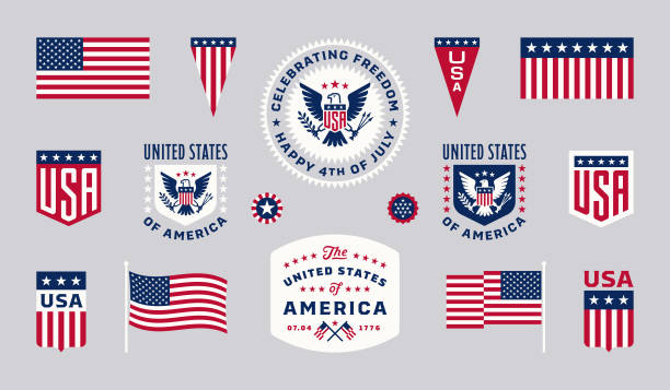
Fourth of July USA Design Elements. Fourth of July greetings graphics. Happy 4th of July images.

Poster map of United States of America with state names. Print map of USA for t-shirt, poster or geographic themes. Hand-drawn colorful map with states. Vector Illustration
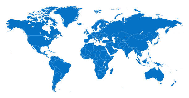
Vector of highly detailed world map - each country outlined and has its own labeled layer - The url of the reference file is : http://www.lib.utexas.edu/maps/world.html - 1 layer of data used for the detailed outline of the land

Transparent Blue Globe Set on white background with different planet positions. Additional Zip file contains: .AI(8), PDF and High res JPEG.
Vector of Highly Detailed Map of the United States of America- The url of the reference file is : https://www.cia.gov/library/publications/the-world-factbook/graphics/ref_maps/pdf/united_states.pdf
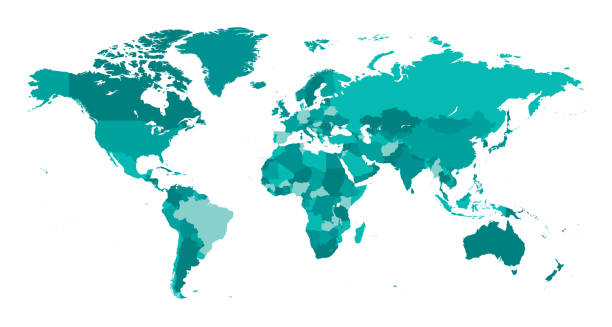
Vector of highly detailed world map - each country outlined and has its own labeled layer
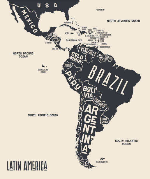
Map Latin America. Poster map of Latin America. Black and white print map of Latin America for t-shirt, poster or geographic themes. Hand-drawn graphic map with countries. Vector Illustration
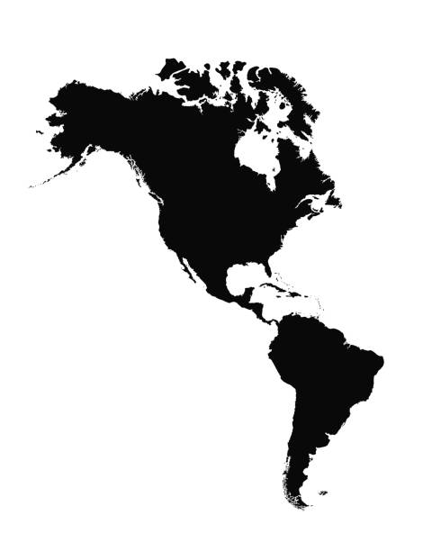
Map of North and South America, sign silhouette. World Map Globe. Vector Illustration isolated on transparent background. American continent.
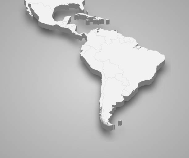
Latin America 3d isometric map with borders states
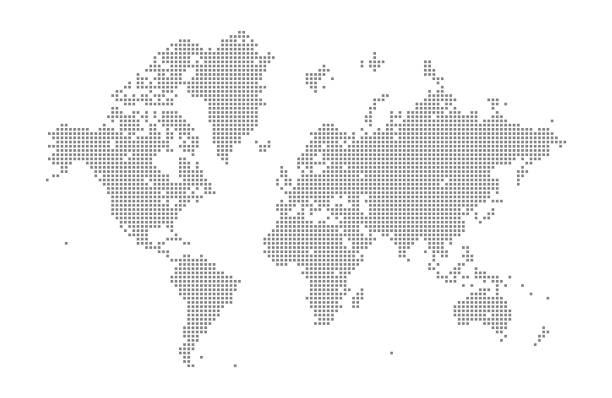
This vector illustration uses squares to create a detailed world map. The EPS 10 file is easy to colour and customise if required and can be scaled to any size without loss of quality, making it an ideal design element for your project.
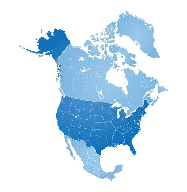
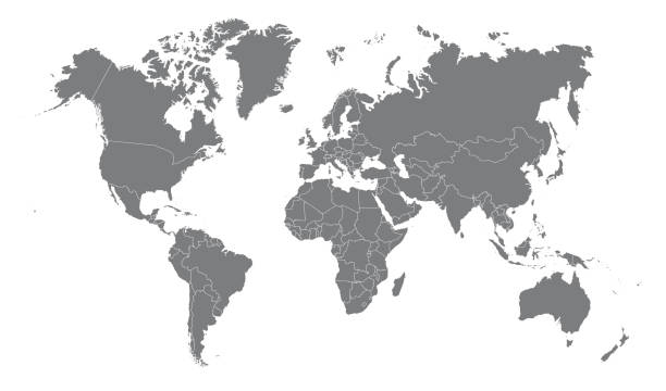
Map of North America with countries, states on white background
North America, South America, and Central America on a continental map

North America with detail and name of each country. Vector illustration in HD very easy to make edits.
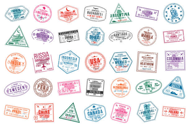
Set of travel visa stamps for passports. International and immigration office stamps. Arrival and departure visa stamps to Europe, America, Asia and Australia. Vector
Usa flag on map. United states of america. Icon of country in color of national flag. Graphic territory with stripes and stars. North american background for 4th july with shadow. Vector.