Asia Map stock illustrations
Browse 259,900+ asia map stock illustrations and vector graphics available royalty-free, or search for asia pacific map or asia map vector to find more great stock images and vector art.
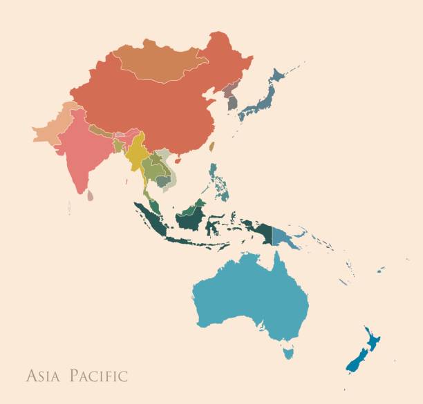
asia pacific map
asia map vector
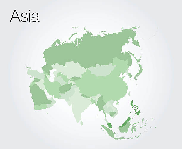
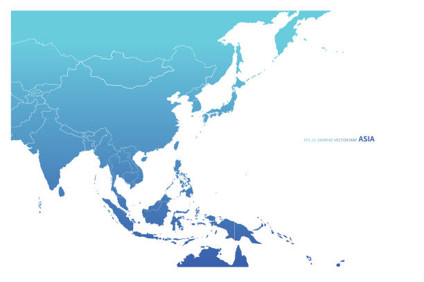
asia
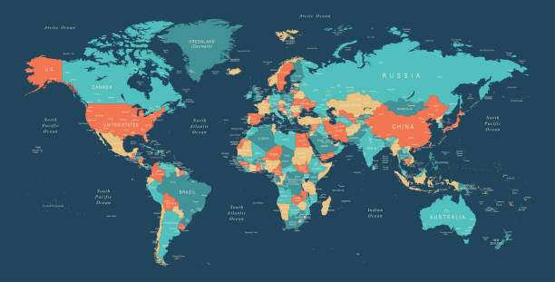
world map
asia pacific
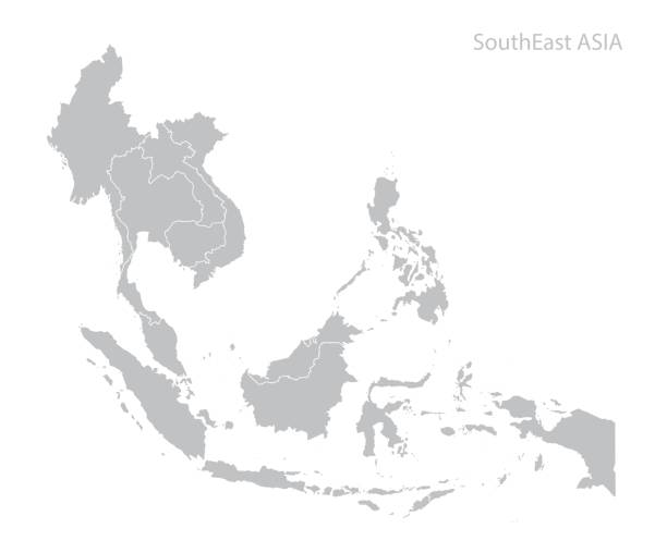
southeast asia map
south asia map
east asia map
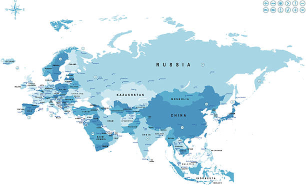
europe asia map
central asia map
europe and asia map
asia map icon
asia map outline
asia map abstract
asia map globe
asia map 3d
se asia map
australasia asia map
asia map digital
north asia map
asia map line
asia map dots
africa and asia map
asia map grey
southeast asia map vector
asia map white background
asia map flat
asia map covid
southeast asia map connected
asia map vintage
Most popular
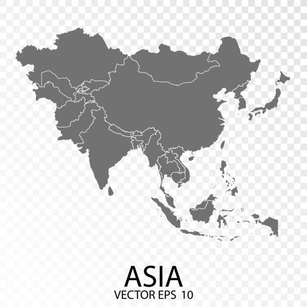
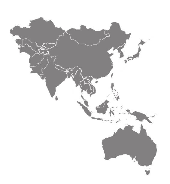
Transparent - High Detailed Grey Map of Asia. Vector eps10.
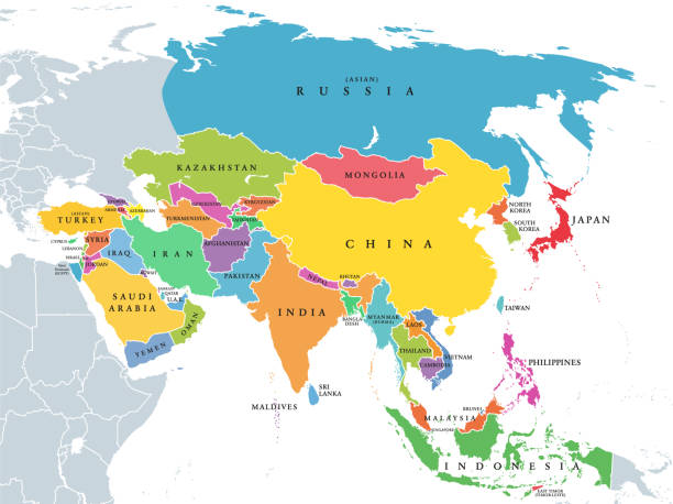
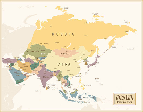
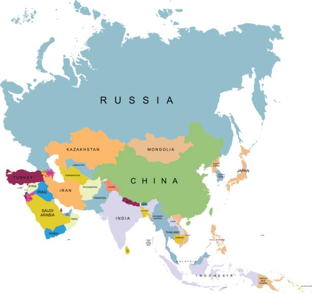
Main regions of Asia. Political map with single countries. Colored subregions of the Asian continent. Central, East, North, South, Southeast and Western Asia. English labeled. Illustration. Vector.
vector illustration of Gray Map of Asia with countries
Asia map vector on vector background

Map of Asia Pacific. Vintage color
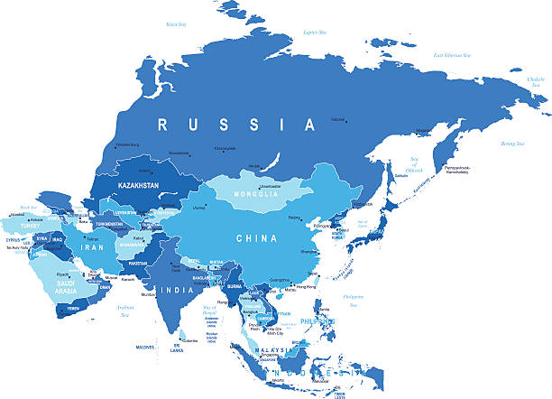
Political map of Asia continent in shades of turquoise blue. Vector illustration.

http://dikobraz.org/map_2.jpg
Earth illustration. Each country has its own autonomous border and background color fill, which gives the opportunity to select the desired part from the rest of the content. Objects are isolated.

Vector illustration of a map of Asia and all its countries
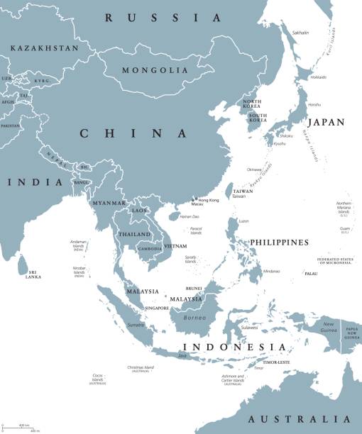
East Asia political map with countries and borders. Eastern subregion of the Asian continent with China, Japan, Mongolia and Indonesia. English labeling. Gray illustration on white background. Vector.

Map of Asia made with round blue dots on a blank background. Original mosaic illustration. Vector Illustration (EPS10, well layered and grouped). Easy to edit, manipulate, resize or colorize. Please do not hesitate to contact me if you have any questions, or need to customise the illustration. http://www.istockphoto.com/portfolio/bgblue
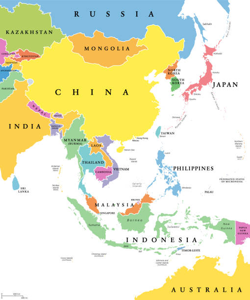
East Asia, single states, political map. All countries in different colors, with national borders, labeled with English country names. Eastern subregion of the Asian continent. Illustration. Vector.

Map of Asia with details and the name of each country. Vector illustration in HD very easy to make edits.
Asia - Retro Map

modern style blue world earth globe asia japan
Asia map - highly detailed vector illustration

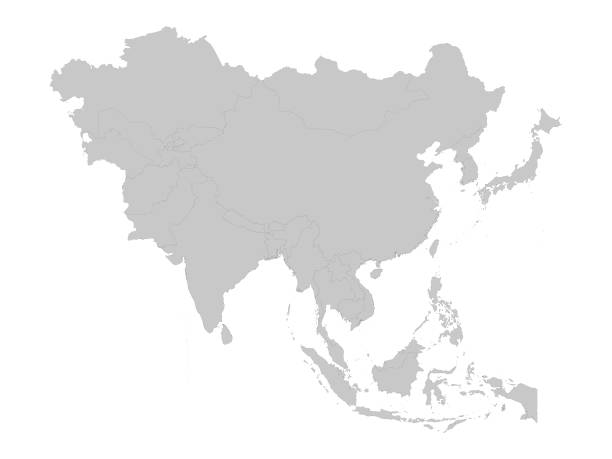
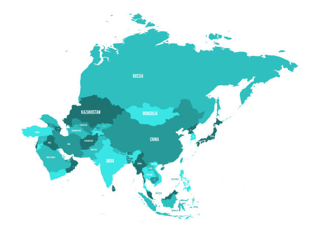
Map of Asia Pacific. Grey map of Asia. Vector illustration.
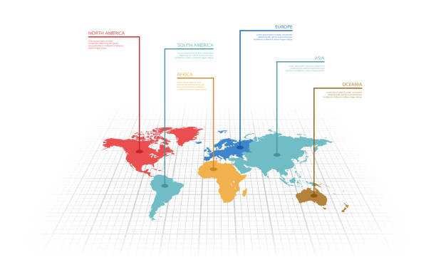
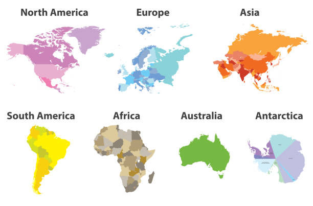
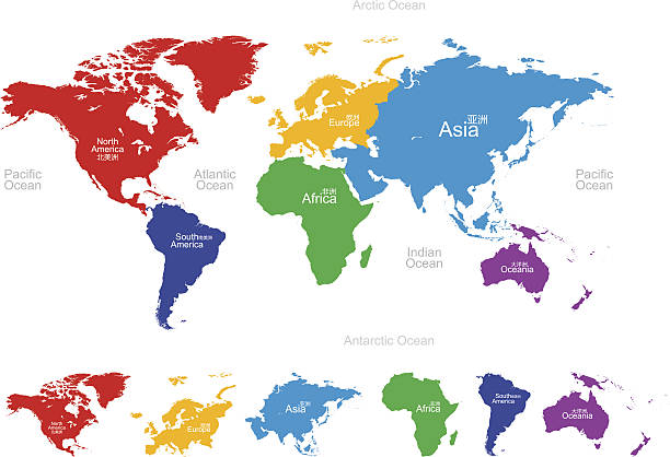
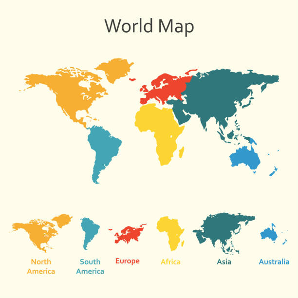
Vector illustration infographic of the World map with continents highlighted by different colors and labels
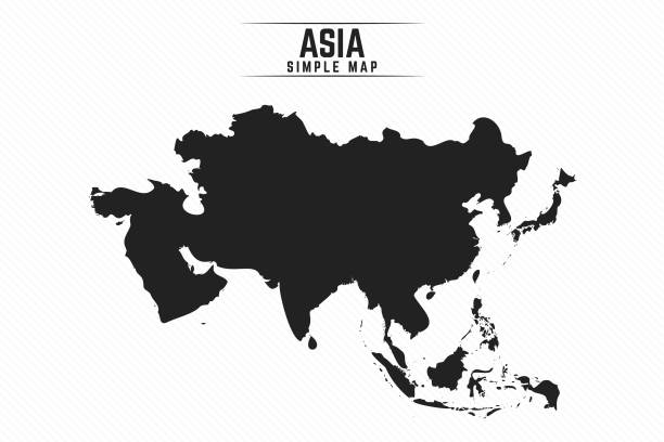
Simple Black Map of Asia Isolated on White Background, can be used for business designs, presentation designs or any suitable designs.
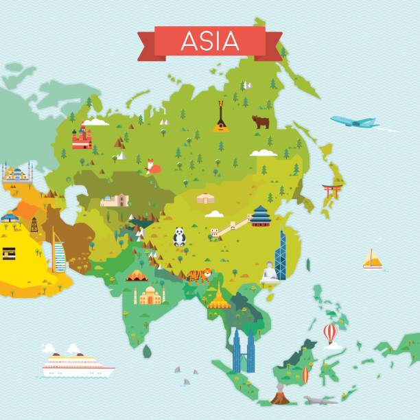
Travel and tourism background. Vector flat illustration
Vector map of the world,Separated path!
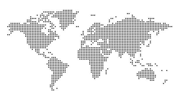

Dotted World Map Background. Earth Globe. Globalization Concept. Black And White. Vector.
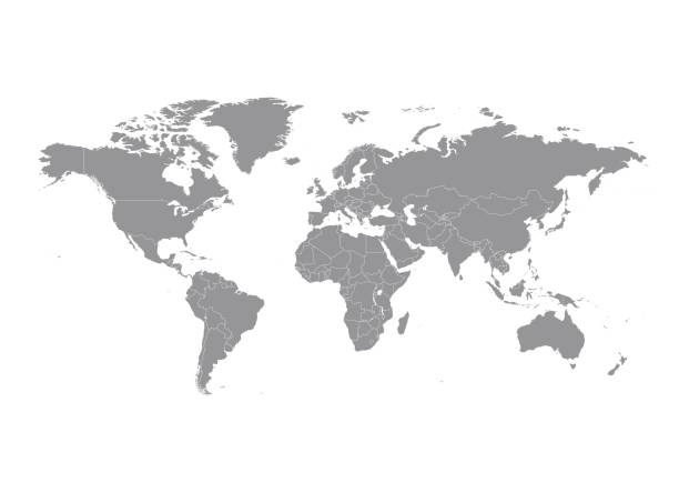
World map with countries vector art
World Regions related, square line vector icon set for applications and website development. The icon set is pixelperfect with 64x64 grid. Crafted with precision and eye for quality.
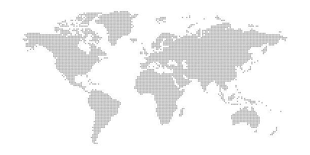
Vector dotted world map.

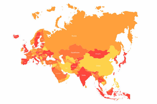
Vector Eurasia map with countries borders. Abstract red and yellow Eurasia countries on map for infographic

Polygonal map. Digital globe map, blue polygons earth maps and world internet connection 3d grid. Global earth map, geography mapping futuristic atlas vector concept illustration


World Map Geography Deatiled Vector Illustration in Blue. Individual continents included.
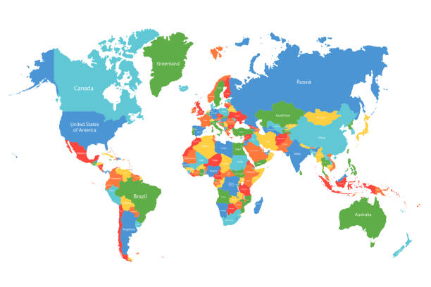
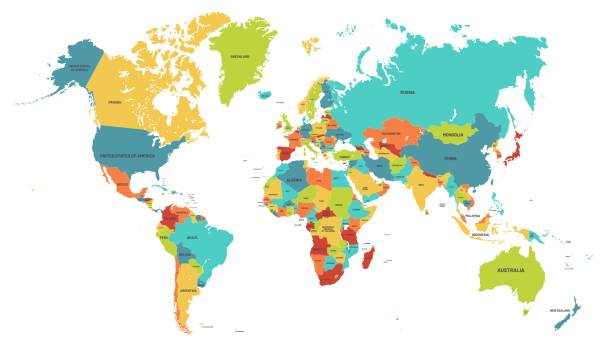
Vector world map. Colorful world map with countries borders. Detailed map for business, travel, medicine and education
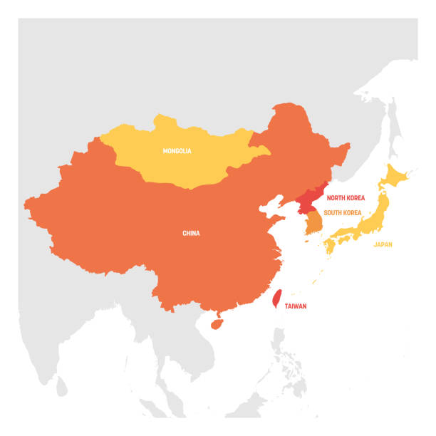
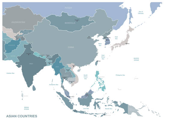
East Asia Region. Map of countries in eastern Asia. Vector illustration.

High Detailed World Map Color - borders, countries and cities - vector illustration

Map of Southeast Asia. Vector
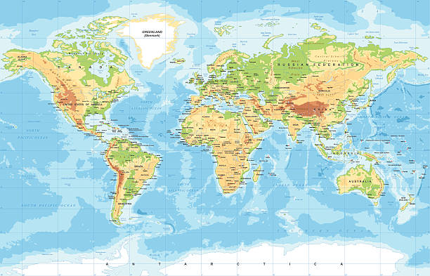
High Detailed World Map Color - borders, countries and cities - vector illustration
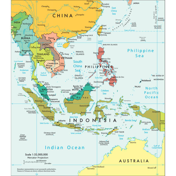
Vector illustration of the political map of South East Asia Reference map was created by the US Central Intelligence Agency and is available as a public domain map at the University of Texas Libraries website. https://www.cia.gov/library/publications/resources/the-world-factbook/graphics/ref_maps/political/pdf/southeast_asia.pdf


http://s017.radikal.ru/i404/1110/87/2c00b7bbd3ec.jpgHighly detailed map of the world with countries, cities and other labels.
asian countries vector map.

modern style silver world globes


Vector Illustration World Map on White Background. Courtesy of the PCL Map Collection: http://www.lib.utexas.edu/maps/world.html (Public Domain PCL Map Collection).
Highly detailed colored vector illustration of world map -


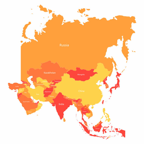
Vector Asia map with countries borders. Abstract red and yellow Asia countries on map for infographic
Colored world map. Political maps, colourful world countries and country names. Geography politics map, world land atlas or planet cartography vector illustration
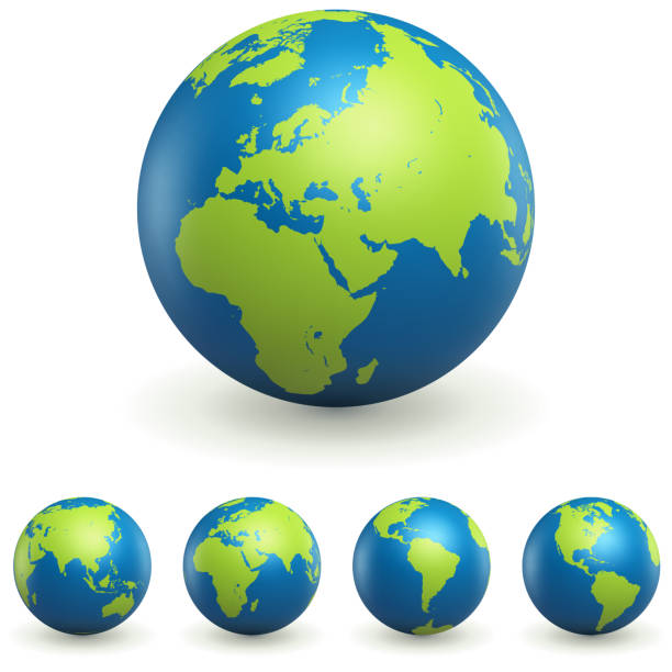
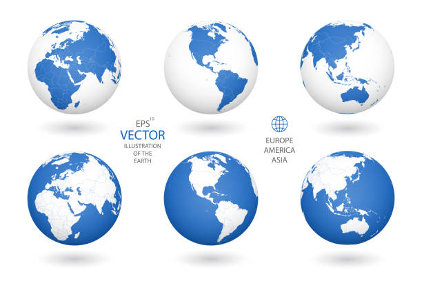
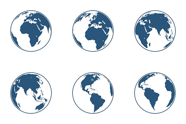
World Globe 3D Signs Set Isolated on White Background. Earth Planet Icons Collection. International Business Design Element. Vector Illustration.

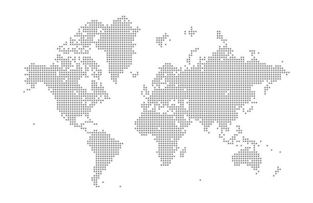
This vector illustration uses squares to create a detailed world map. The EPS 10 file is easy to colour and customise if required and can be scaled to any size without loss of quality, making it an ideal design element for your project.
Next