North Downs stock illustrations
Browse 40+ north downs stock illustrations and vector graphics available royalty-free, or search for north downs way or the north downs to find more great stock images and vector art.
Most popular
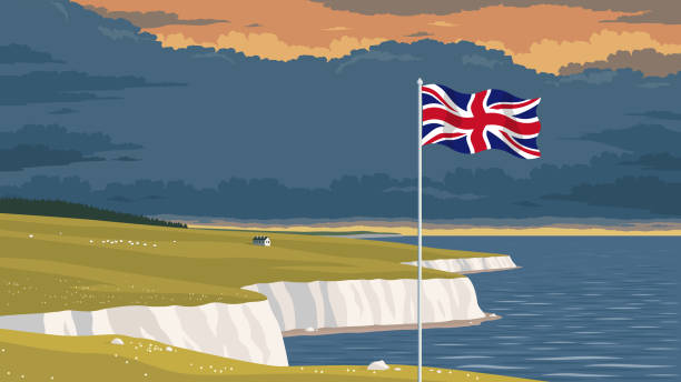
Detailed flat vector illustration of a flying flag of the United Kingdom in front of a scenic national landscape with the white cliffs of Dover. Happy Independence Day. Room for text.
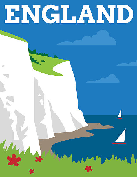
Simple Art Deco style poster showing the white cliffs of Dover
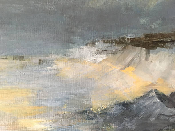
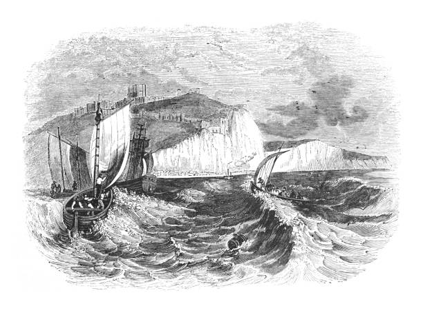
A stormy sea crashing onto rocks and showing white cliffs in the distance

Vector Dover lighthouse
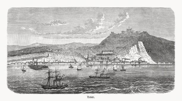
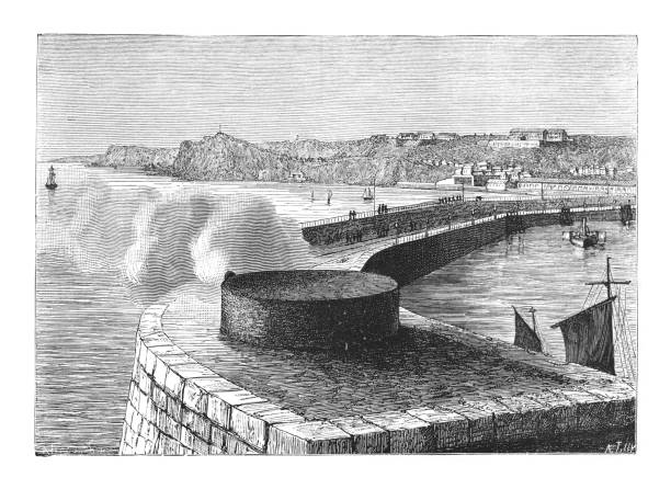
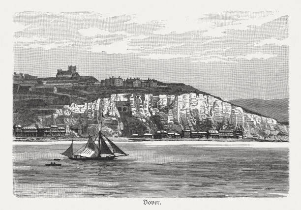
Historical view of Dover, Kent, South East England, United Kingdom. Wood engraving, published in 1893.
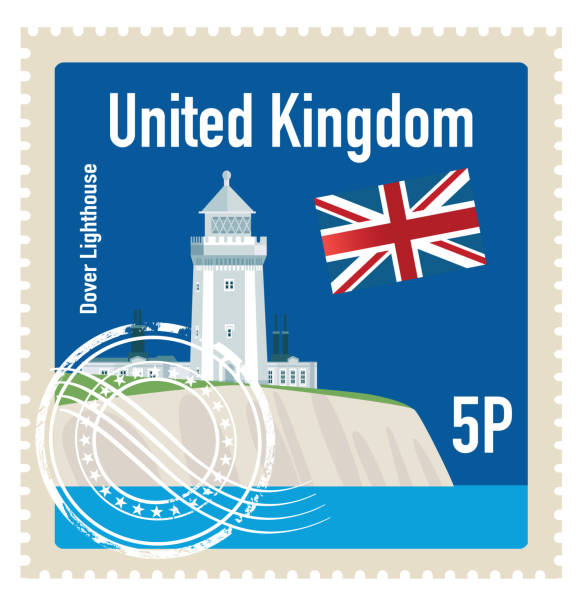
Vector Dover lighthouse Stamp
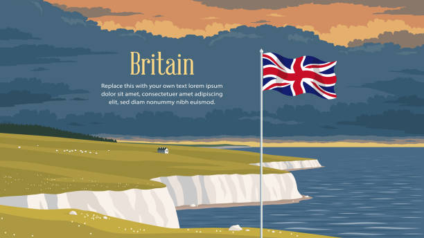
Detailed flat vector illustration of a flying flag of the United Kingdom in front of a scenic national landscape with the white cliffs of Dover. Happy Independence Day. Contains a placeholder text.
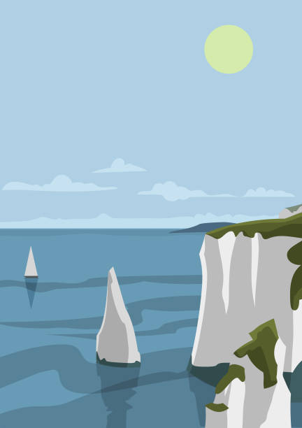
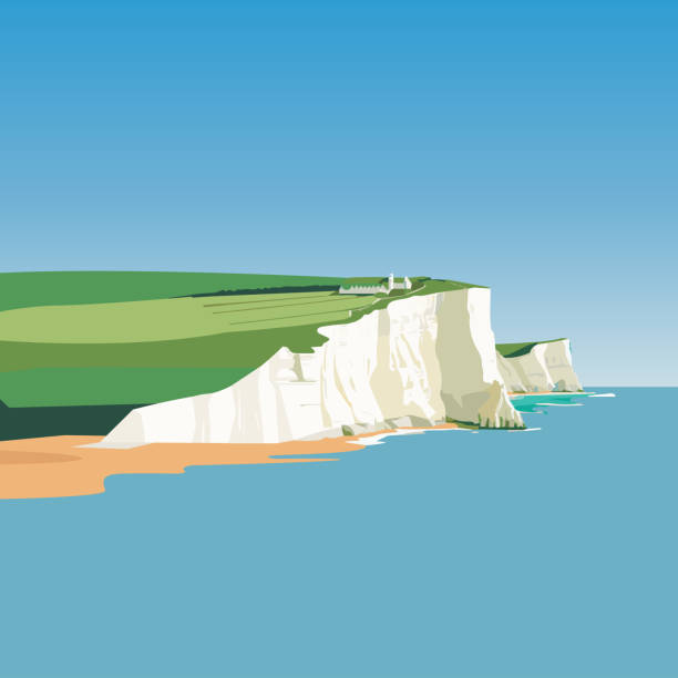
vector illustration - White Cliffs of Dover, in England
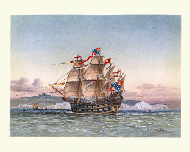
Vintage illustration of Great Harry, or Henry Grace a Dieu, English carrack warship, 16th Century and in her day the largest warship in the world.
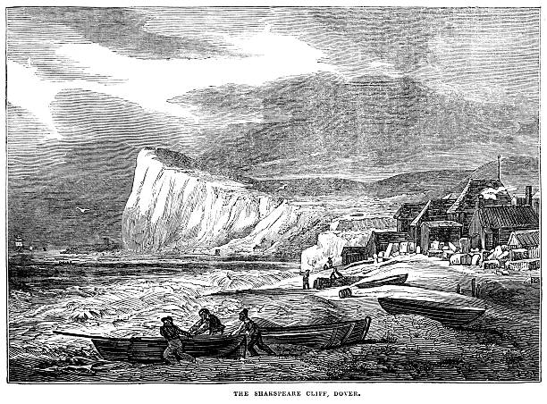
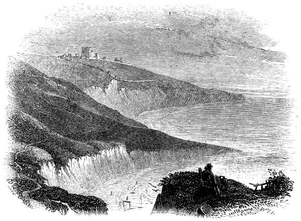
Shakespeare Cliff, Dover, England, with fishermen working on the beach. From “The Saturday Magazine”, published in 1837 by the Committee of General Literature and Education appointed by the Society for Promoting Christian Knowledge.
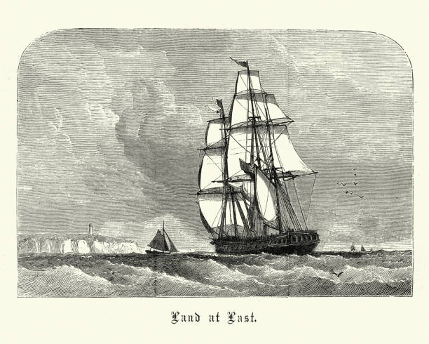
Vintage engraving of Sailing ship approching land after long voyage, Victorian 19th Century
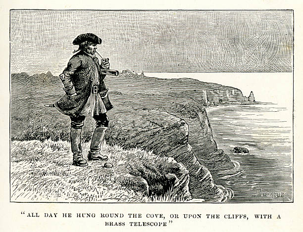
Vintage engraving showing a scene from the story Treasure Island by Robert Louis Stevenson. All day he hung round the Cove, or upon the cliffs, with a Brass Telescope.
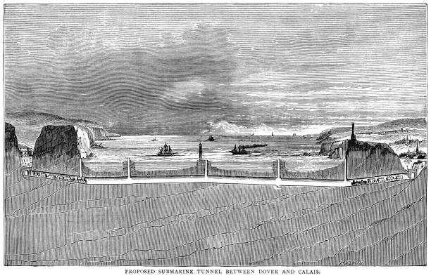
The building of a tunnel beneath the English Channel to connect England with France had several failed attempts before the current tunnel’s eventual successful opening in 1994. This engraving shows a cross section of the proposed tunnel of Sir John Hawkshaw c1866.
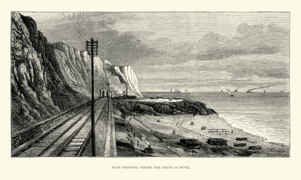
Vintage engraving of site of the Channel Tunnel attempt. In 1881, the British railway entrepreneur Sir Edward Watkin and Alexandre Lavalley, a French Suez Canal contractor, were in the Anglo-French Submarine Railway Company that conducted exploratory work on both sides of the Channel. On the English side a 2.13-metre diameter Beaumont-English boring machine dug a 1,893-metre pilot tunnel from Shakespeare Cliff. The London Illustrated News, 1882
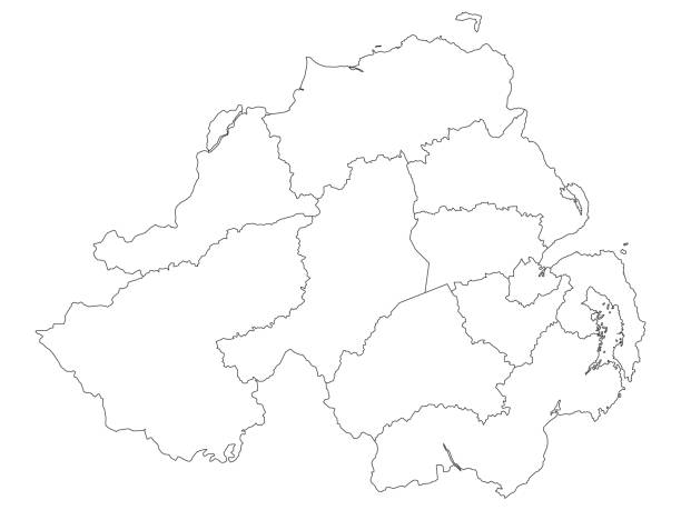
White Map of Districts of Northern Ireland, United Kingdom
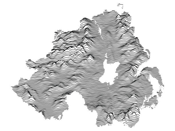
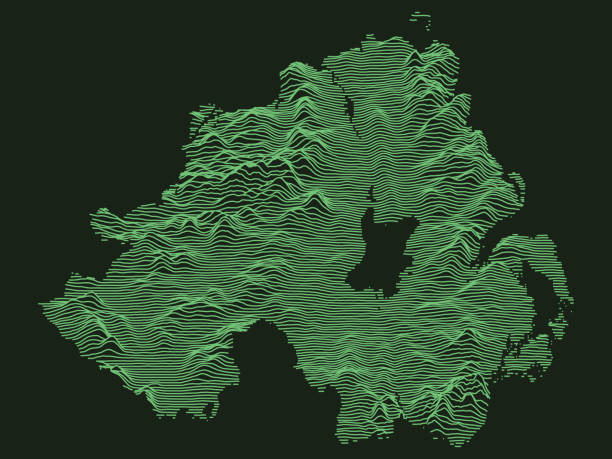
Gray 3D Topography Map of European Country of Northern Ireland, United Kingdom
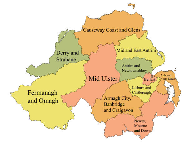
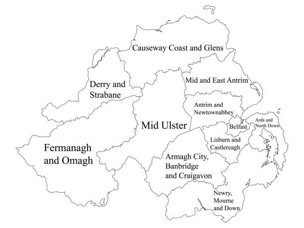
Labeled Color Map of Districts of Northern Ireland, United Kingdom
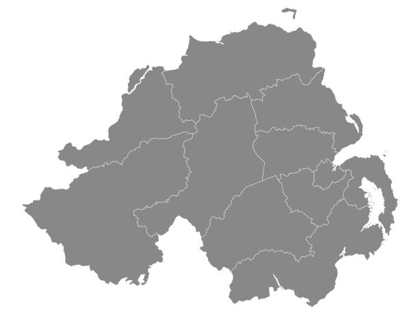
Gray Map of Districts of Northern Ireland, United Kingdom
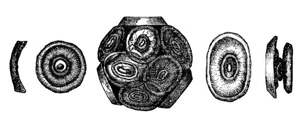
Illustration of a Coccoliths are the main component of the Chalk, a Late Cretaceous rock formation which outcrops widely in southern England and forms the White Cliffs of Dover
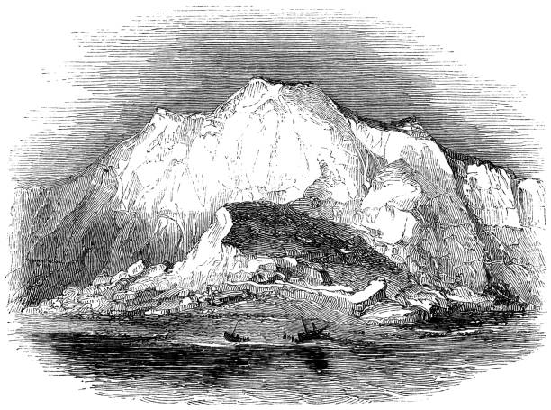
Vintage engraved illustration isolated on white background - White Cliffs of Dover
The White Cliffs of Dover at Kent, England (circa 15th century) from the Works of William Shakespeare. Vintage etching circa mid 19th century.
The White Cliffs of Dover in Kent, England, Uk. Vintage etching circa 19th century.
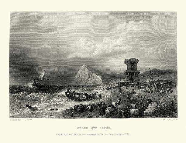
Vintage engraving of a Shipwreck of the Dover Coast. 1869
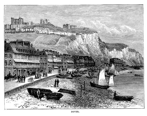
Vintage engraved illustration - Dover (ferry port in Kent)
White Labeled Map of Districts of Northern Ireland, United Kingdom
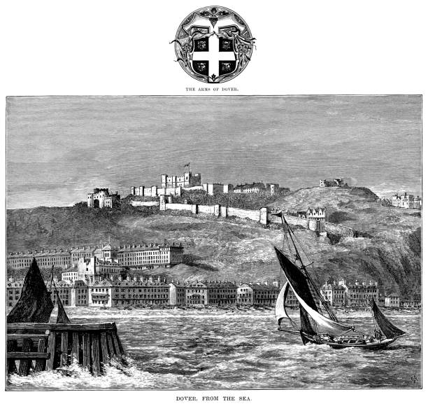
Dover Castle on the cliffs above Dover in Kent, with shipping in the harbour and the town’s coat of arms above the illustration. From “Our Own Country: Descriptive, Historical, Pictorial” published by Cassell & Co Ltd, 1885.
The White Cliffs of Dover in Kent, England, Uk. Vintage etching circa 19th century.
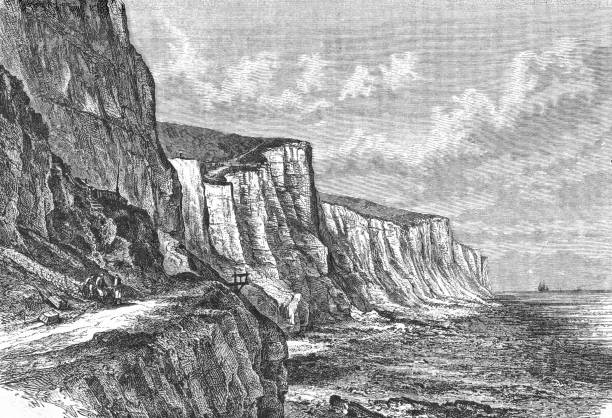
White Cliffs of Dover. Wood engraving after a drawing, published in 1897.
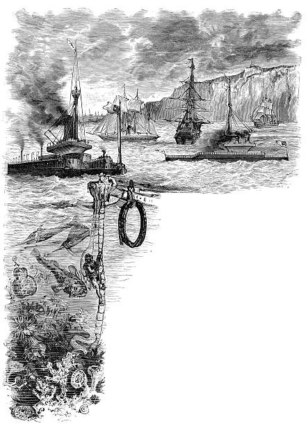
Vintage engraving from 1878 with copyspace showing various ships and boats at sea and a deep sea diver going under the waves
Dover Castle at the town of Dover in Kent, England, Uk (circa 16th century). Vintage etching circa 19th century.
Tactical Military Emerald 3D Topography Map of European Country of Northern Ireland, United Kingdom
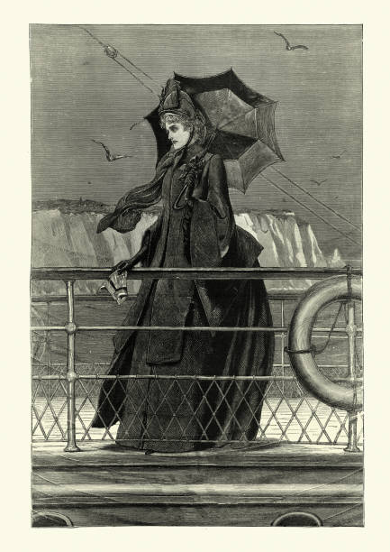
Vintage illustration of Victorian widow wearing black mourning dress, Fashion, 19th Century
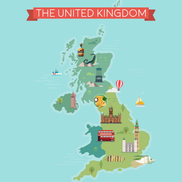
Map of Great Britain, United Kingdom with famous landmarks.
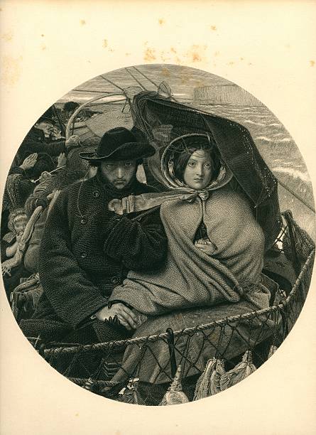
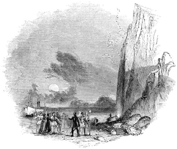
The last from england (Emigration and Immigration)
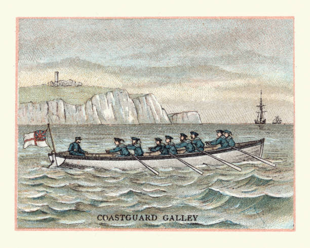
Vintage engraving of a Coastguard Galley, 19th Century
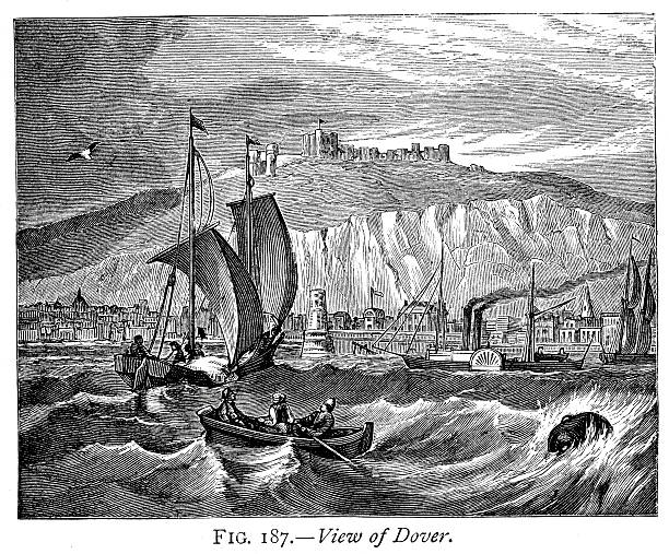
Vintage engraving of a View of Dover, England. 1884
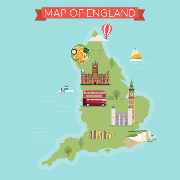
Map of England. Flat style illustration.
Vintage engraving showing Dover a town and major ferry port in the home county of Kent, in South East England. , 1878
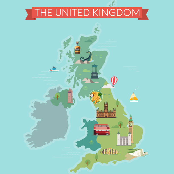
Map of Great Britain, United Kingdom with famous landmarks.
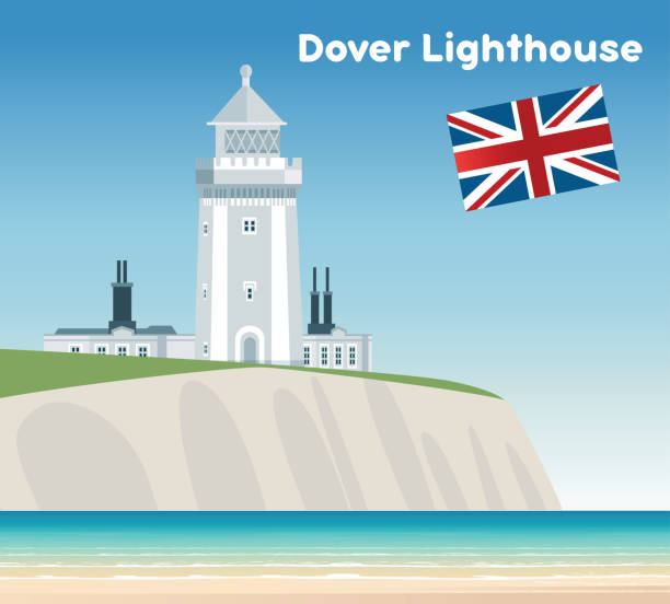
Vector Dover lighthouse
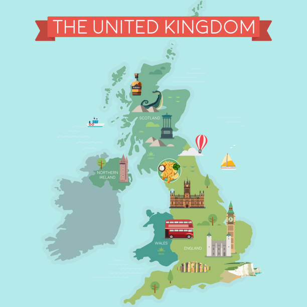
Map of Great Britain, United Kingdom with famous landmarks.
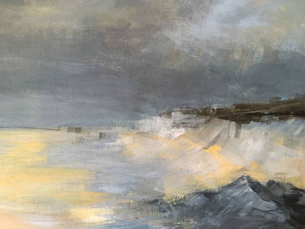
A stormy sea crashing onto rocks and showing white cliffs in the distance

Map of Great Britain, United Kingdom with famous landmarks.