Kiowa Pictures, Images and Stock Photos
Browse 140+ kiowa stock photos and images available, or search for kiowa colorado or kiowa indian to find more great stock photos and pictures.
Most popular
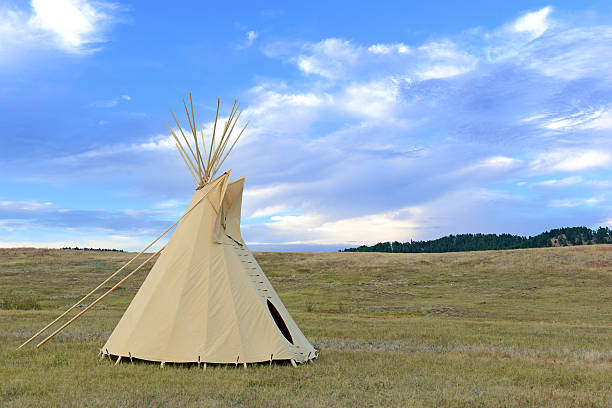
Teepee (tipi) as used by Native Americans in the Great Plains and American west
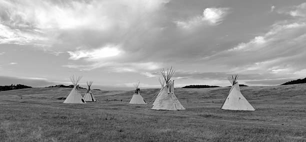
Teepee (tipi) as used by Native Americans in the Great Plains and American west

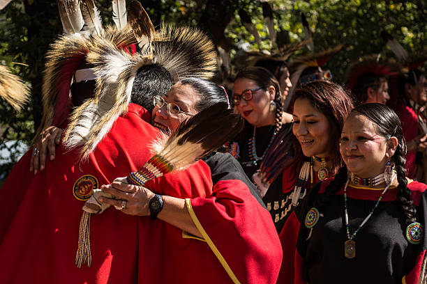
Anadarko, Oklahoma, U.S.A. - October 11, 2015: Woman dancing at the Kiowa Blackleggings Warrior Society Pow-wow.

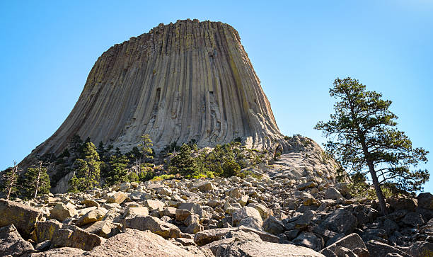
Devils TowerDevils Tower
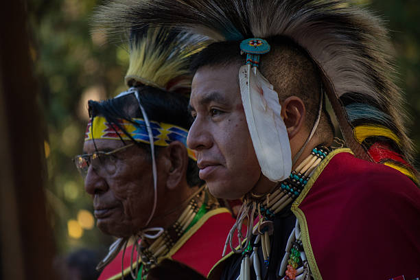
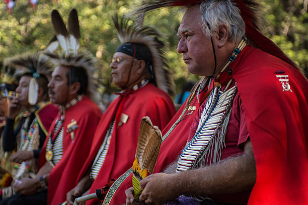
Anadarko, Oklahoma, U.S.A. - October 11, 2015: Kiowa war veterans, seated during the Blackleggings Warrior Society Pow-wow.
Anadarko, Oklahoma, U.S.A. - October 11, 2015: Kiowa Blackleggings Warrior Society Pow-wow.
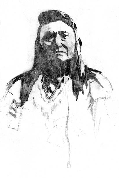
My graphite sketch of a native american chief from late 1800's
Greensburg, Kansas
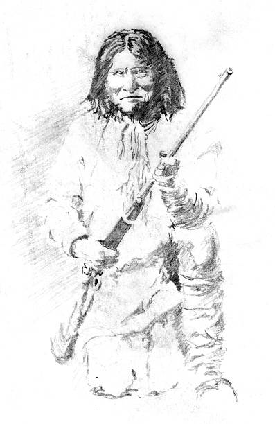
My pencil sketch of Geronimo, Native American leader of the Chiricahua Apache. (Born-June 16, 1829 – Died-February 17, 1909).
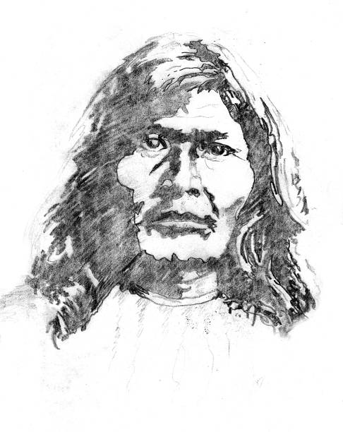
My graphite sketch of a native american from late 1800's
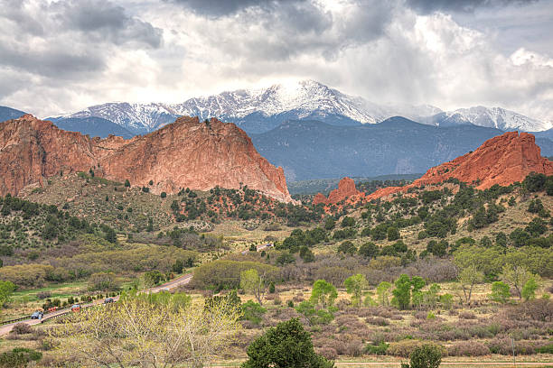
Garden of the Gods is a public park located in Colorado Springs, Colorado, US. It was designated a National Natural Landmark in 1971. In the background you can see the Rocky Mountains, the Pikes Peak.
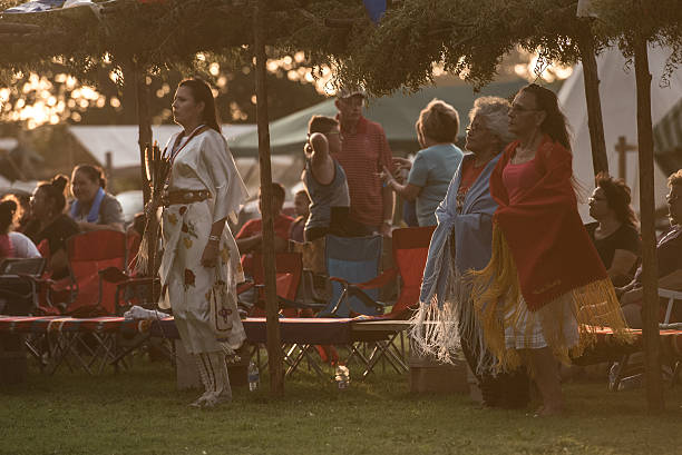
Carnegie, Oklahoma, U.S.A. - July 2, 2016: Kiowa women, performing ceremonial dance at a Gourd Dance pow-wow.
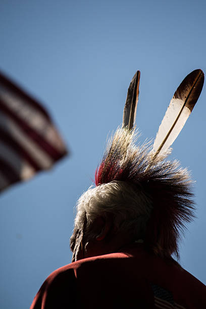
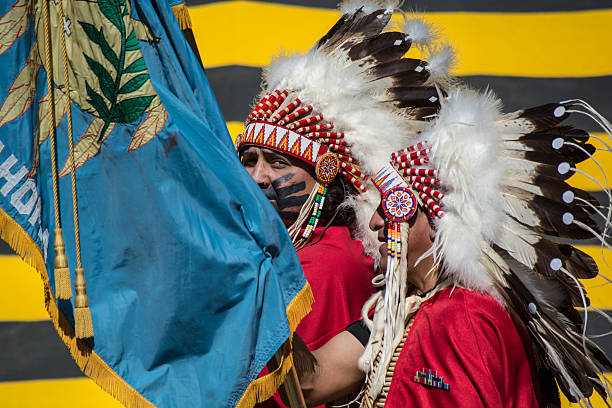
Anadarko, Oklahoma, U.S.A. - October 11, 2015: Kiowa elder and American flag, at the Kiowa Blackleggings Pow-wow.
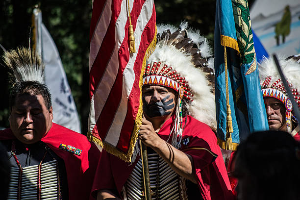
Anadarko, Oklahoma, U.S.A. - October 11, 2015: Veterans holding flags during color guard at Kiowa Blackleggings Pow-wow.
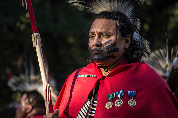
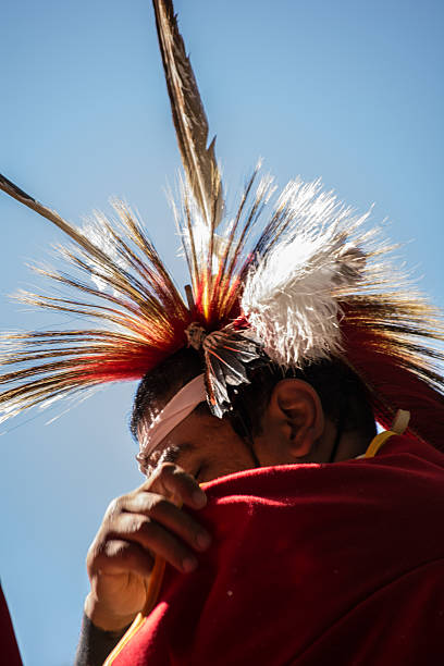
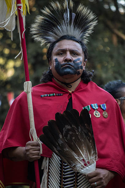
Anadarko, Oklahoma, U.S.A. - October 11, 2015: Honored veteran at the Kiowa Blackleggings Warrior Society Pow-wow.
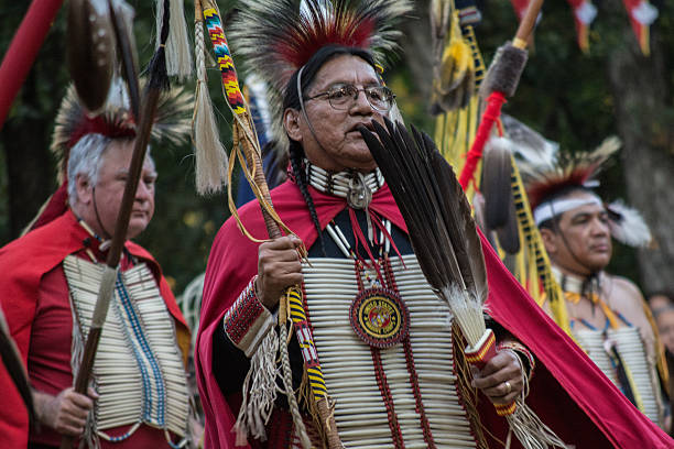
Anadarko, Oklahoma, U.S.A. - October 11, 2015: Kiowa Blackleggings Warrior Society Pow-wow.
Anadarko, Oklahoma, U.S.A. - October 11, 2015: Honored veterans dancing at the Kiowa Blackleggings Warrior Society Pow-wow.
Anadarko, Oklahoma, U.S.A. - October 11, 2015: Kiowa men with Oklahoma flag during color guard at Kiowa Blackleggings Pow-wow.

Sliac / Slovakia - August 3, 2019: Croatian Air Force Bell OH-58D Kiowa Warrior 332 attack helicopter static display at SIAF Slovak International Air Fest 2019
Anadarko, Oklahoma, U.S.A. - October 11, 2015: Honored veteran at the Kiowa Blackleggings Warrior Society Pow-wow.
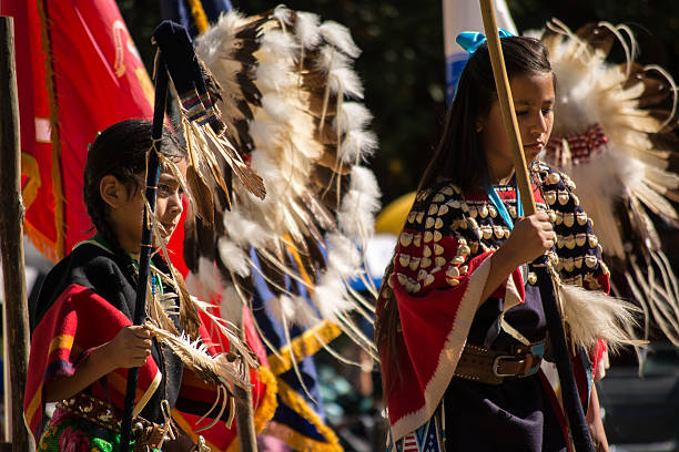
Anadarko, Oklahoma, U.S.A. - October 11, 2015: Girls dancing at the Kiowa Blackleggings Warrior Society Pow-wow.
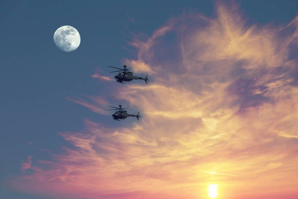
Helicopters in flight
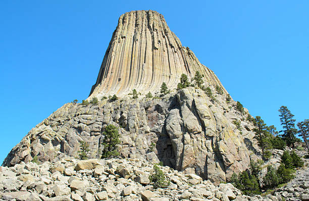
Devils Tower National Monument
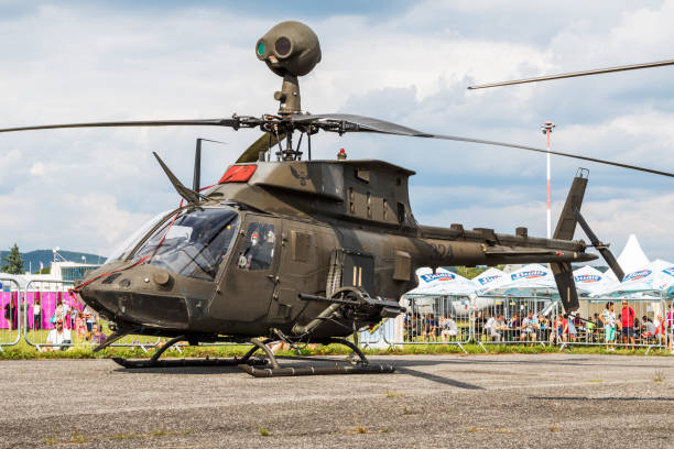
Sliac / Slovakia - August 3, 2019: Croatian Air Force Bell OH-58D Kiowa Warrior 324 attack helicopter static display at SIAF Slovak International Air Fest 2019
Anadarko, Oklahoma, U.S.A. - October 11, 2015: Honored veteran at the Kiowa Blackleggings Warrior Society Pow-wow.
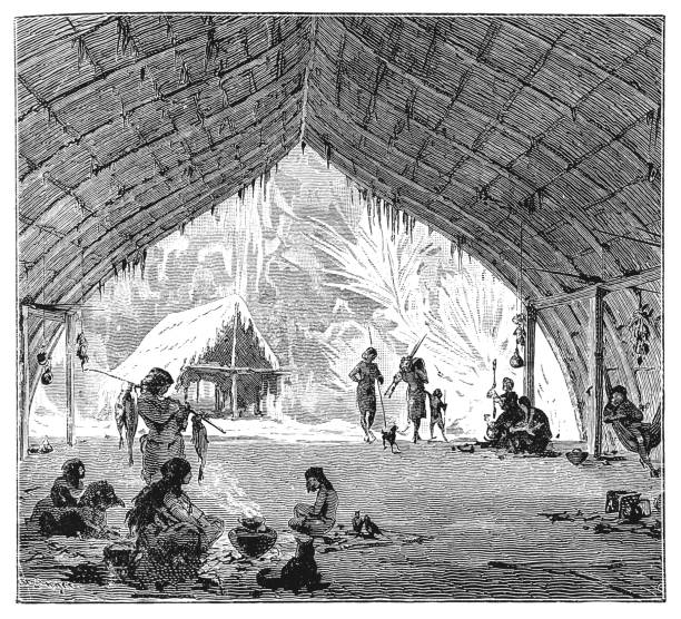
Illustration of a Hut of the Kiowa Indians in Brazil
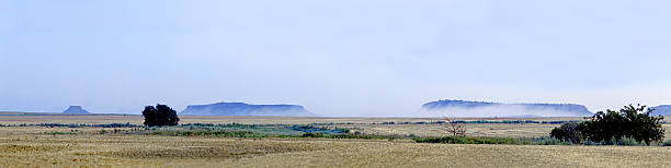
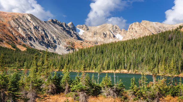
Panorama of the Antelope Hills in Western Oklahoma
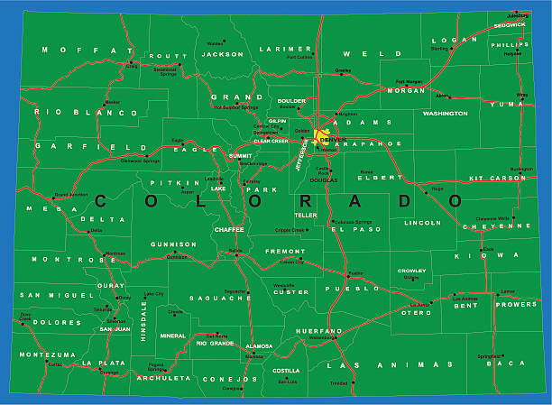
Highly detailed map of Colorado .

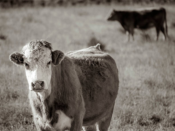
A cow watching me from a field with the herd moving behind him in Colorado.

Map of Kiowa County - Kansas, isolated on a blank background and with his name on a red ribbon. Vector Illustration (EPS file, well layered and grouped). Easy to edit, manipulate, resize or colorize. Vector and Jpeg file of different sizes.
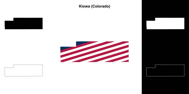

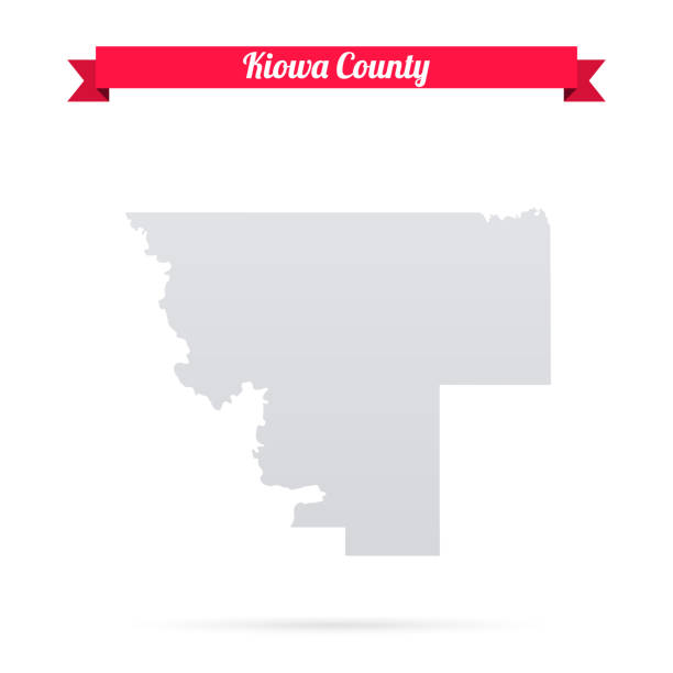
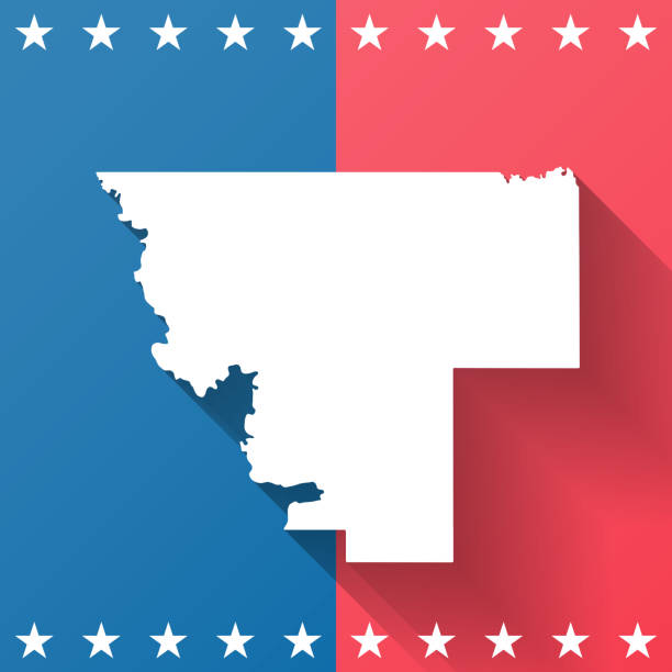
Map of Kiowa County - Colorado, on a blue and red colored background. The blue color represents the Democratic Party and the red color represents the Republican Party. White stars are placed above and below the map. Vector Illustration (EPS file, well layered and grouped). Easy to edit, manipulate, resize or colorize. Vector and Jpeg file of different sizes.

Map of Kiowa County - Oklahoma, with a realistic paper cut effect isolated on white background. Trendy paper cutout effect. Vector Illustration (EPS file, well layered and grouped). Easy to edit, manipulate, resize or colorize. Vector and Jpeg file of different sizes.
Kiowa and Logan County, Colorado (U.S. county, United States of America,USA, U.S., US) map vector illustration, scribble sketch Kiowa and Logan map
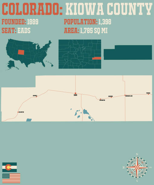
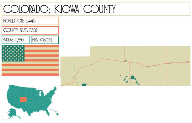
Large and detailed map of Kiowa county in Colorado, USA.
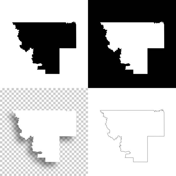
Map of Kiowa County - Oklahoma, for your own design. Four maps with editable stroke included in the bundle: - One black map on a white background. - One blank map on a black background. - One white map with shadow on a blank background (for easy change background or texture). - One line map with only a thin black outline (in a line art style). The layers are named to facilitate your customization. Vector Illustration (EPS file, well layered and grouped). Easy to edit, manipulate, resize or colorize. Vector and Jpeg file of different sizes.
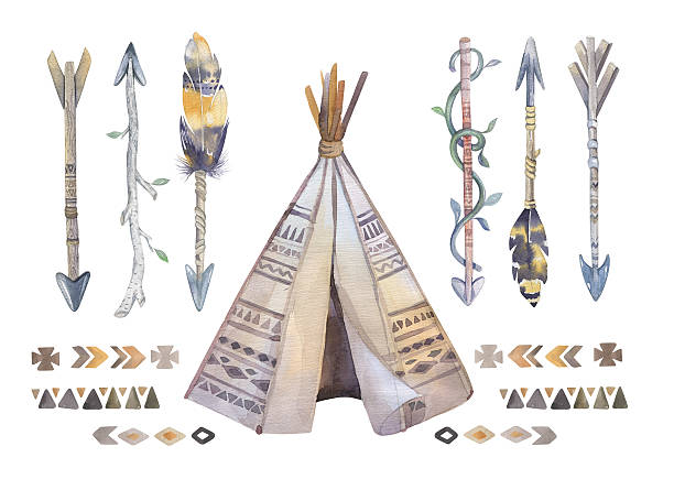
Watercolor teepee, arrows, fearhers and tomahawk. Boho america indians tribal style travel tent decoration. Tipi isolated illustration on white backgraund.
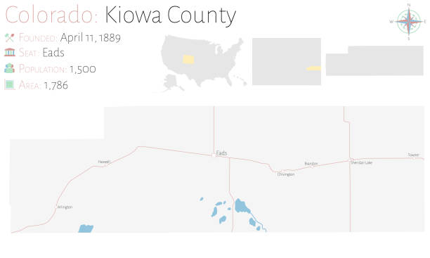
Large and detailed map of Kiowa county in Colorado, USA.
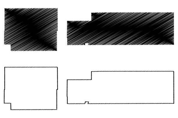
Kiowa and Logan County, Colorado (U.S. county, United States of America,USA, U.S., US) map vector illustration, scribble sketch Kiowa and Logan map
Map of Kiowa County - Oklahoma, isolated on a blank background and with his name on a red ribbon. Vector Illustration (EPS file, well layered and grouped). Easy to edit, manipulate, resize or colorize. Vector and Jpeg file of different sizes.

Map of Kiowa County - Kansas, with a realistic paper cut effect isolated on white background. Trendy paper cutout effect. Vector Illustration (EPS file, well layered and grouped). Easy to edit, manipulate, resize or colorize. Vector and Jpeg file of different sizes.
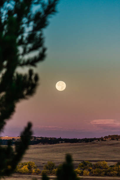
Moonrise Over Kiowa Creek in Colorado in Kiowa, Colorado, United States

Kiowa and Logan County, Colorado (U.S. county, United States of America,USA, U.S., US) map vector illustration, scribble sketch Kiowa and Logan map
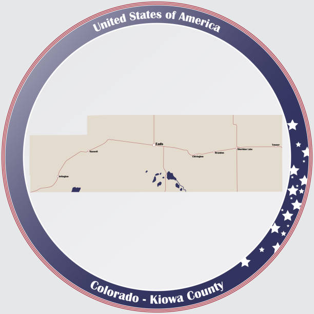
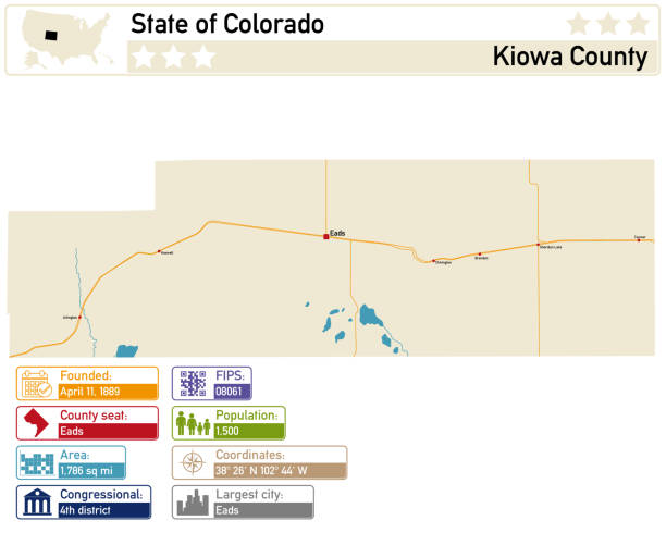
Round button with detailed map of Kiowa County in Colorado, USA.
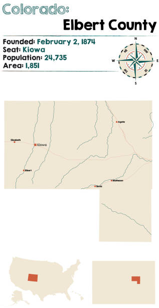
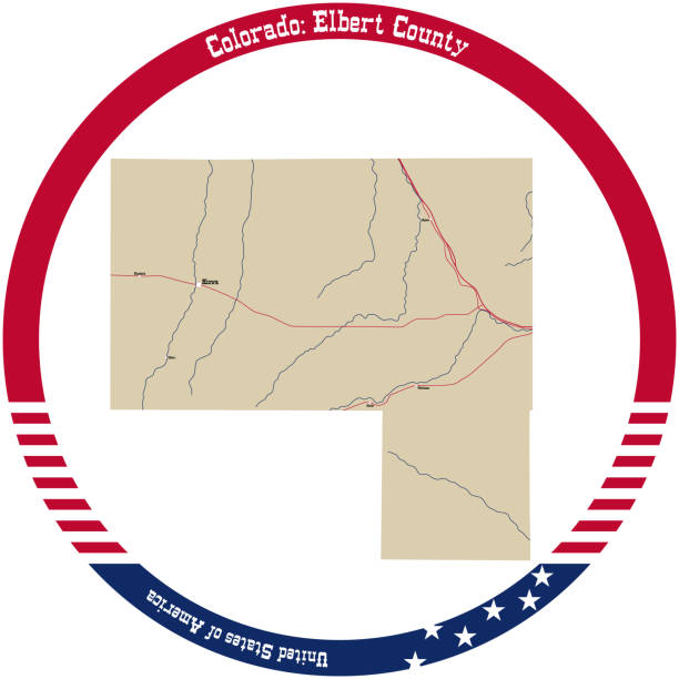
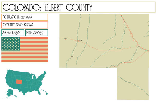
Large and detailed map of Elbert county in Colorado, USA.
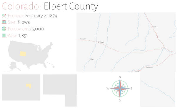
Large and detailed map of Elbert county in Colorado, USA.
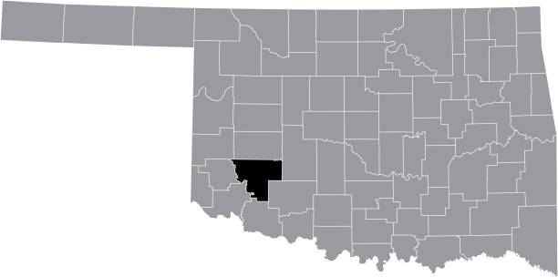
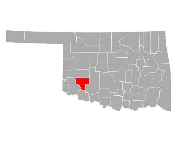
Black highlighted location map of the Kiowa County inside gray administrative map of the Federal State of Oklahoma, USA
Map of Kiowa County - Oklahoma, on a blue and red colored background. The blue color represents the Democratic Party and the red color represents the Republican Party. White stars are placed above and below the map. Vector Illustration (EPS file, well layered and grouped). Easy to edit, manipulate, resize or colorize. Vector and Jpeg file of different sizes.

Map of Kiowa County - Kansas, on a blue and red colored background. The blue color represents the Democratic Party and the red color represents the Republican Party. White stars are placed above and below the map. Vector Illustration (EPS file, well layered and grouped). Easy to edit, manipulate, resize or colorize. Vector and Jpeg file of different sizes.
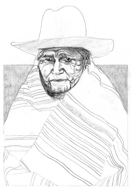
My pencil sketch of a native american from late 1800's to early 1900's wearing hat and wrapped in blanket.