
Illustrations
Brandenburg State stock illustrations
Browse 1,000+ brandenburg state stock illustrations and vector graphics available royalty-free, or start a new search to explore more great stock images and vector art.
Most popular
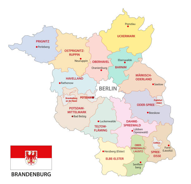
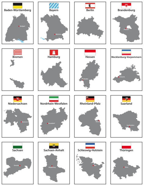
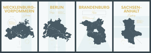
brandenburg administrative and political vector map with flag, germany


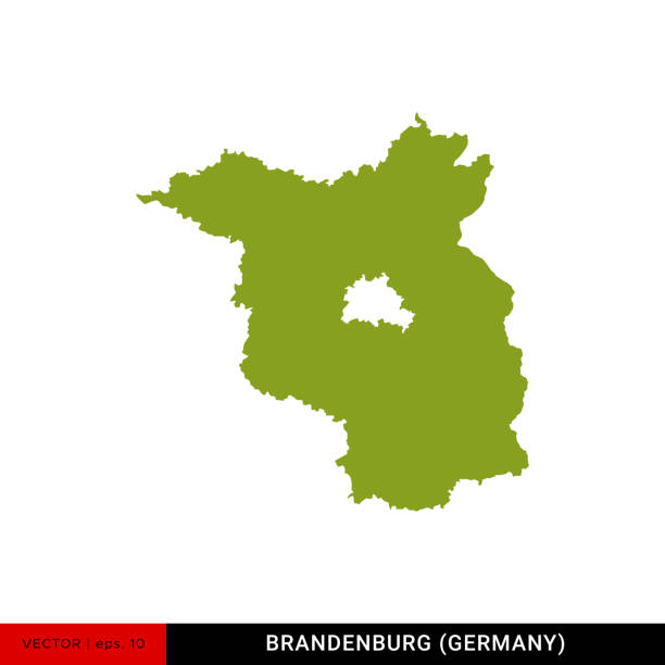
Detailed Map of Brandenburg - State of Germany Vector Illustration Design Template. Vector EPS 10.

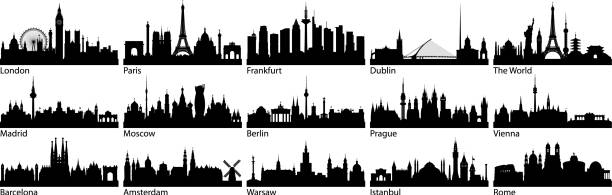
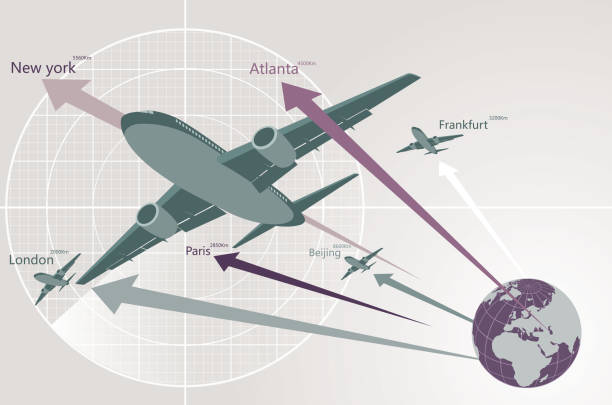
European cities. All buildings are complete and moveable.

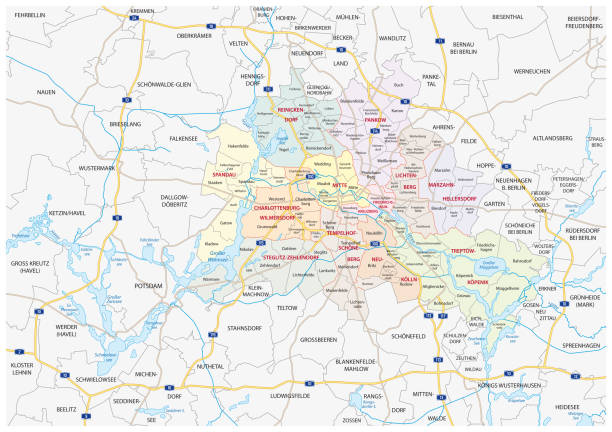
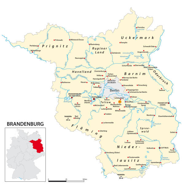
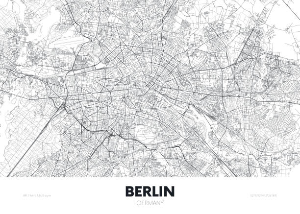
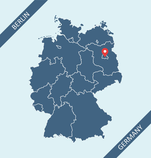
Berlin-Brandenburg Metropolitan Region Vector Map


Brandenburg Gate in Germany a world famous tourist landmark, sketch vector illustration isolated on white background. Traveling and tourism, european trip symbol.

3D map of Brandenburg isolated on a blank and gray background, with a dropshadow. Vector Illustration (EPS10, well layered and grouped). Easy to edit, manipulate, resize or colorize. Vector and Jpeg file of different sizes.


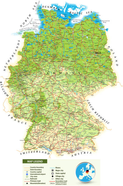
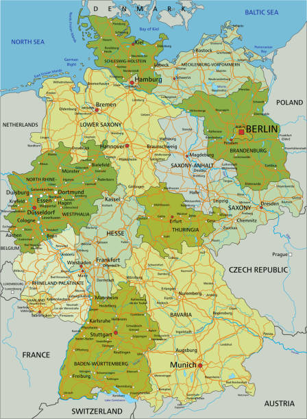
Large detailed road map of Germany with topographic contours(physical map), all cities, villages, water objects, mountains and airports.
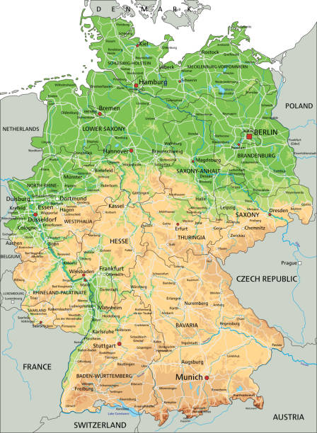
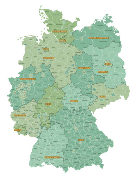
High detailed Germany physical map with labeling. Organized vector illustration on seprated layers.
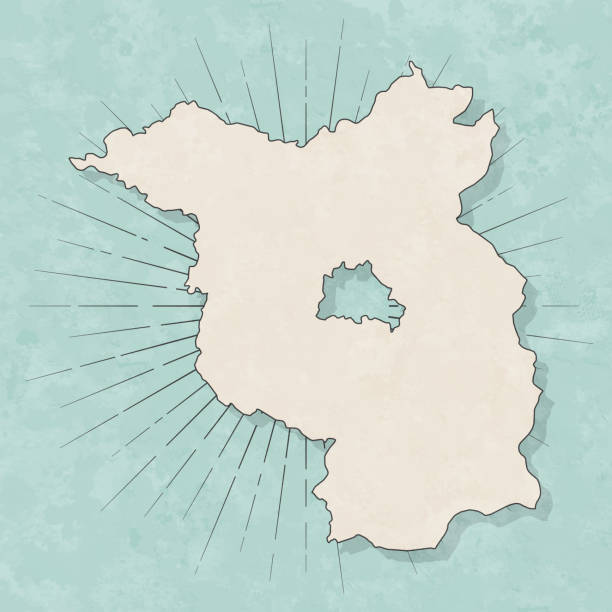
Map of Brandenburg in a trendy vintage style. Beautiful retro illustration with old textured paper and light rays in the background (colors used: blue, green, beige and black for the outline). Vector Illustration (EPS10, well layered and grouped). Easy to edit, manipulate, resize or colorize.
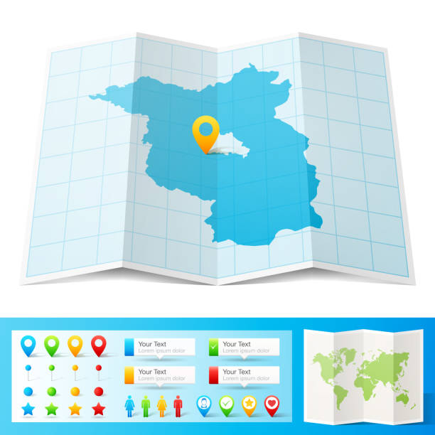
Map of Brandenburg folded with design elements. Blue map with grid lines, isolated on a blank background. Vector Illustration (EPS10, well layered and grouped). Easy to edit, manipulate, resize or colorize.
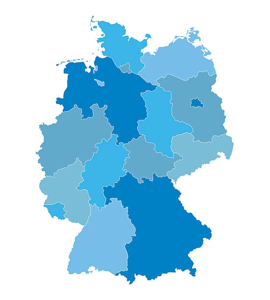
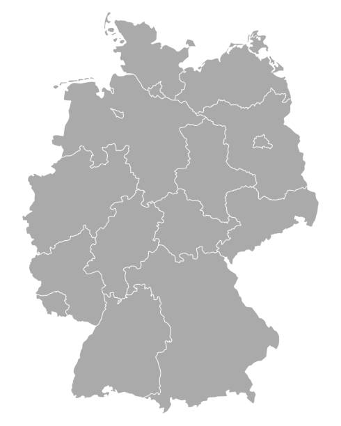
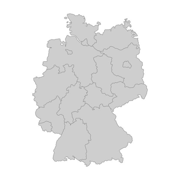
blue vector map of Germany (all federal states on separate layers)

Germany - Highly detailed editable political map with labeling. Organized vector illustration on seprated layers.

Abstract dot pattern vector map of Brandenburg, Germany. Carefully built with little circles. The country dots and background dots are each grouped as a compound path, so you can easily change colors and even use gradients with just a few clicks. File was created in Adobe Illustrator on May 26, 2014. The colors in the .eps-file are ready for print (CMYK). Included files are EPS (v10) and Hi-Res JPG (3000 x 3000 px).

Vector illustration of a silhouette panorama of a coniferous forest. Detailed forest background
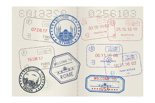
Passport pages with tourist international stamps. Vector 3d illustration

White map of Brandenburg isolated on a blue background with a long shadow effect and in a flat design style. Vector Illustration (EPS10, well layered and grouped). Easy to edit, manipulate, resize or colorize.
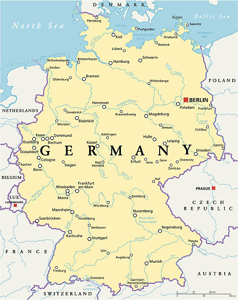
Germany Political Map with capital Berlin, national borders, most important cities, rivers and lakes. English labeling and scaling. Illustration.
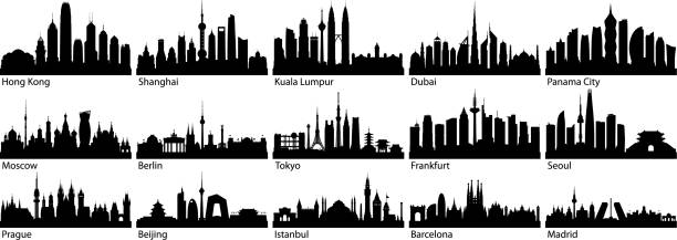
Cities. All buildings are complete and moveable.
A set of various simple luggage tag icons from a wide variety of airports. Isolated on white. Download includes an AI10 EPS file as well as a high resolution RGB JPEG. The grunge tags don't contain any transparencies however the text and stamps have a Multiply opacity so you can see the grunge texture of the tag underneath.
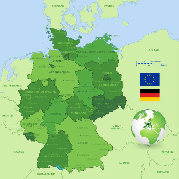
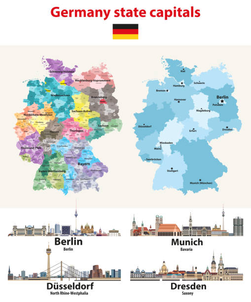
A High Detail vector Map of Germany States and major cities, with a 3D Globe centered on Germany and both Eu and Germany flags.
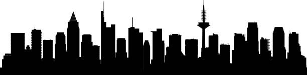
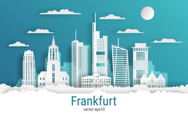
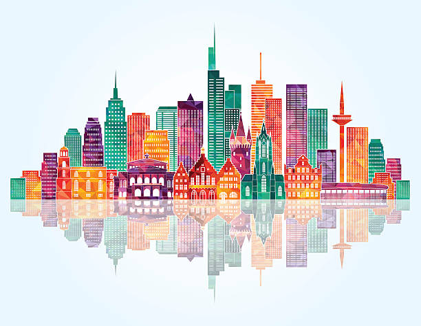
Frankfurt skyline. All buildings are complete and moveable.
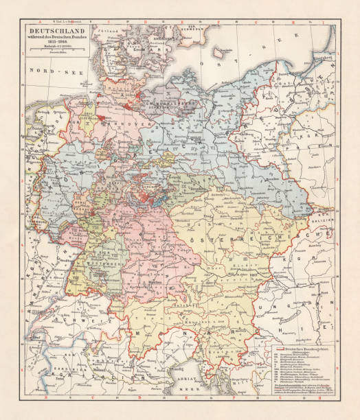
Map of the German Confederation between 1815 and 1866. Lithograph, published in 1897.
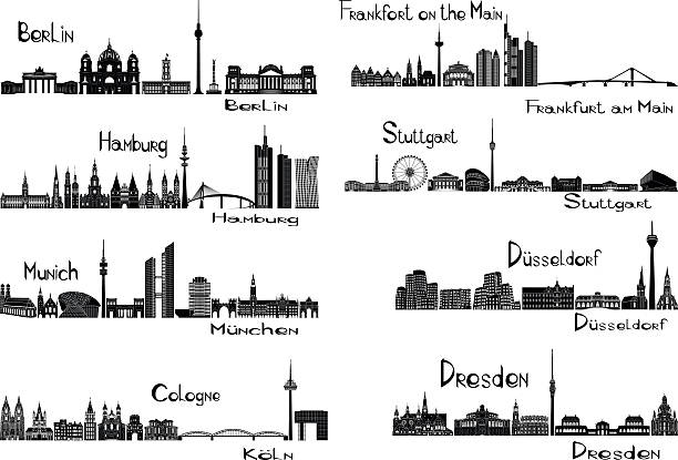
Vector illustration of silhouettes of 8 cities of Germany - Berlin, Frankfort on the Main, Hamburg, Stuttgart, Dusseldorf, Munich, Dresden, Cologne

Map of France with its capital location, Paris, for web page, application, and educational purposes. The map is accurately prepared by a map expert.
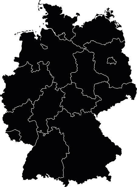
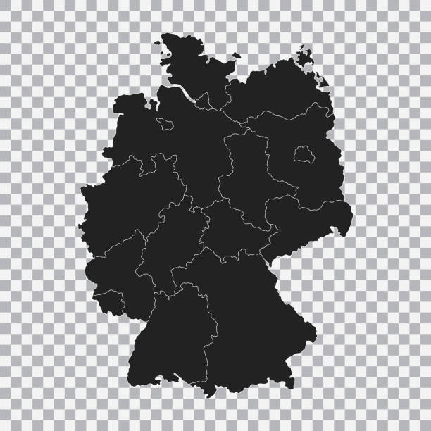
Detailed map of Germany.
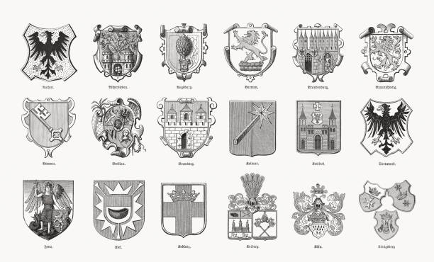
Historical coats of arms of German cities: Aachen; Aschersleben; Augsburg; Barmen; Brandenburg; Braunschweig; Bremen; Breslau (Wroclaw, Poland); Bromberg (Bydgoszcz, Poland); Colmar (France); Cottbus; Dortmund; Jena; Kiel; Koblenz; Kolberg (Kołobrzeg, Poland); Köln; Königsberg (Kaliningrad, Russia). Wood engravings, published in 1893.
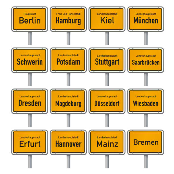
City Limit signs of the German state capitals vector illustration


Gradient and transparent effect used.

High detailed Germany physical map with labeling. Organized vector illustration on seprated layers.
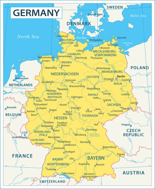
Map of Germany - high details vector illustration
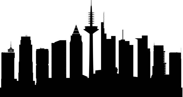
Frankfurt. All buildings are complete and moveable.
Next