Vector illustration
Browse 329,300+ colored europe map stock illustrations and vector graphics available royalty-free, or start a new search to explore more great stock images and vector art.

World Globe 3D Signs Set Isolated on White Background. Earth Planet Icons Collection. International Business Design Element. Vector Illustration.

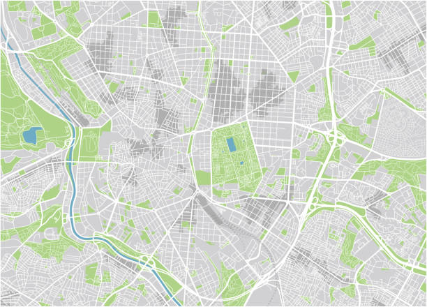
City map with a pointer showing location - can illustrate any topic about traffic and navigation
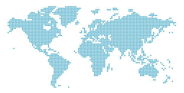
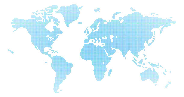
Detailed world map of dots - vector illustration

Abstract image Europe map from point blue and glowing stars on a dark background. vector illustration. Vector eps 10.

World map made from triangles. There are continents: North America, South America, Europa, Asia, Africa, Australia and Oceania. Each continent is a different color. Vector can be easily scaled. All the continents are located on separate layers.

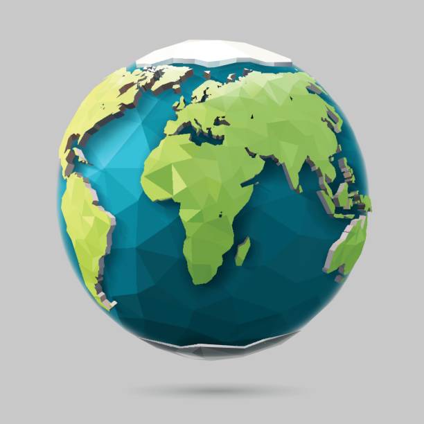
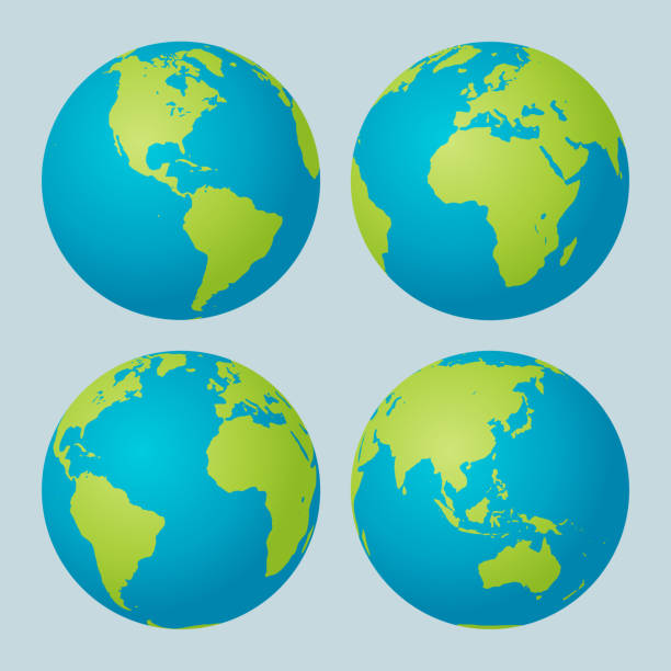
Vector illustration of a colorful Earth globe

Travel and summer holidays sticker collection. Hand-drawn isolated elements with a white border. Vector illustration.
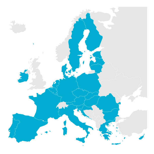
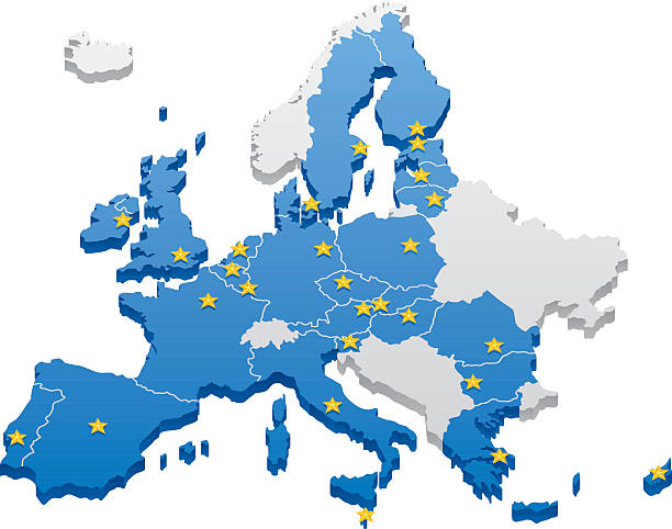
Political map of Europe with blue highlighted 27 European Union, EU, member states after brexit in 2020. Simple flat vector illustration.

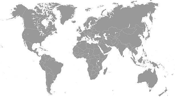
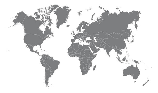
An high quality world map in tones of grey with a cool flat shaded Shadow.

Futuristic Europe outline connectivity map with lines, stars, triangles, light particles framework. Communication, connection concept. Modern low polygonal wire frame mesh design vector illustration.
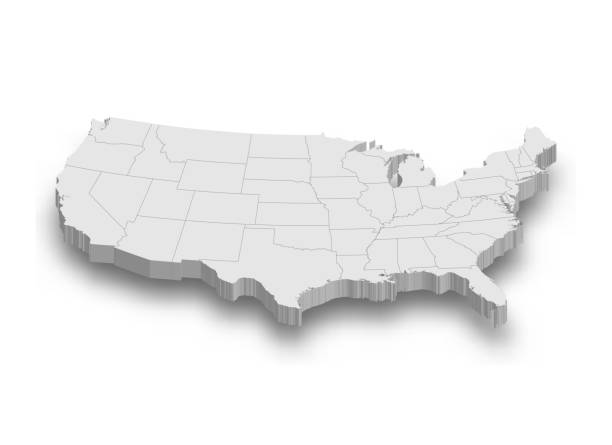
3d United States white map with regions isolated on white background

White map of Europe isolated on a gray background with a long shadow effect and in a flat design style. Vector Illustration (EPS10, well layered and grouped). Easy to edit, manipulate, resize or colorize.
Vector low poly earth illustration. Polygonal globe icon.

World Map Vintage Dark Political - Vector Illustration - Layers
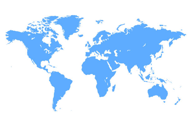
Simple Vector Blue map of the World Illustration

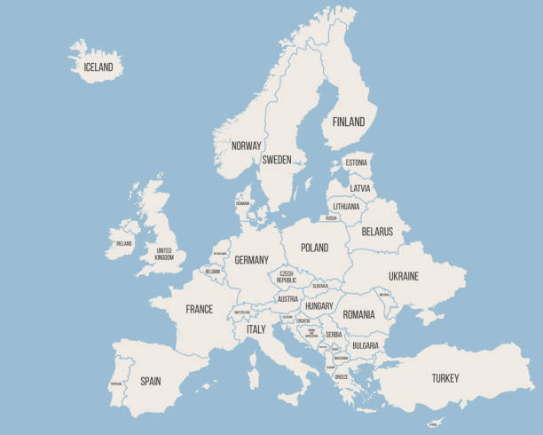
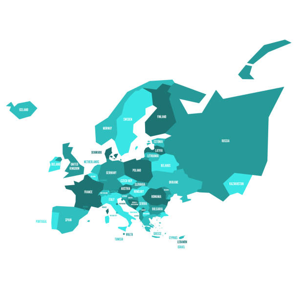
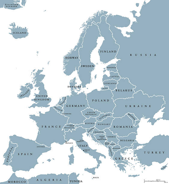
Map of Europe with countries and borders. Vector illustration.

Multicolored dotted halftone gradient world map vector background.
Highly detailed colored vector illustration of Europe map -.borders, countries and cities - illustration.
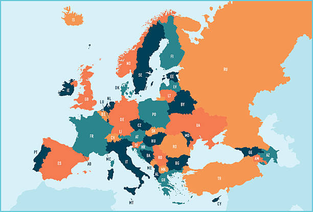
Colorful stylized vector map of Europe with labeled countries and territory name abbreviations. All countries and territories can be individually selected.
World Map EPS 10 Vector Illustration

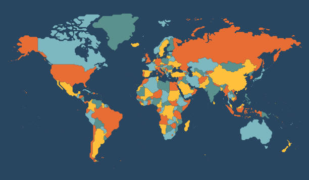
Political world map. Detailed continents, countries borders and names atlas for global travel, statistic or infographic design vector illustration. Colorful map with national boundaries
World map vector set. Blue green planets.

Vector stylized colorful illustration of world map. Very detailed illustration with transparency in AI EPS 10.
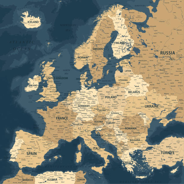
Europe - Highly Detailed Vector Map of the Europe. Ideally for the Print Posters

World Map - Highly Detailed Vector Map of the World. Ideally for the Print Posters

Vector illustration in HD very easy to make edits.
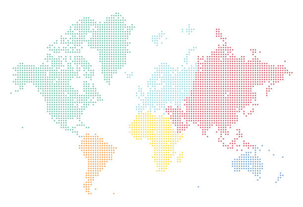
A highly detailed world map illustration made up of brightly coloured dots. Split into separately coloured continents, this is an ideal design element for your project. It's easy to colour and customise if required and can be scaled to any size without loss of quality.

Vector Illustration World Map on White Background. Courtesy of the PCL Map Collection: http://www.lib.utexas.edu/maps/world.html (Public Domain PCL Map Collection).

Thin black outline map of European Union - EU. Vector illustration.
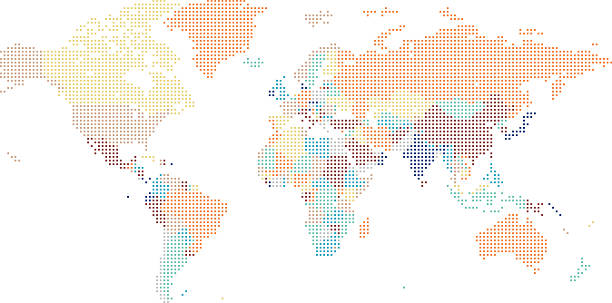
Dotted World map of square dots on white background. Vector illustration.
Very simplified infographical political map of Europe in green color scheme. Simple geometric vector illustration.

vector map of europe countries map and middle east countries map

Map of the World - Highly Detailed Vector illustration
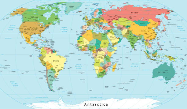
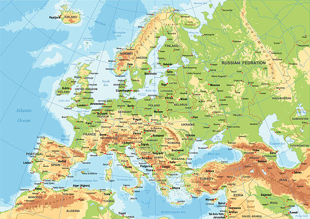
Political World Map with Names of Capitals, Main Cities, Rivers and Lakes
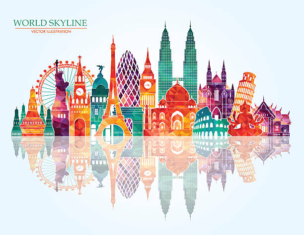
skyline. Vector line illustration. Line style designskyline. Vector line illustration. Line style designTravel around the world skyline. Vector line illustration. Line style design
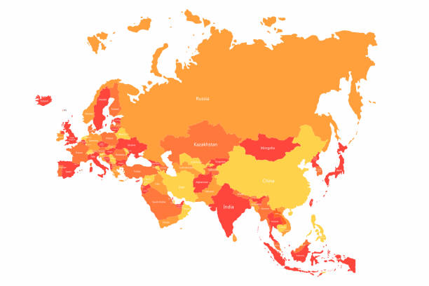
Vector Eurasia map with countries borders. Abstract red and yellow Eurasia countries on map for infographic

World Map - Highly Detailed Vector Map of the World. Ideally for the Print Posters

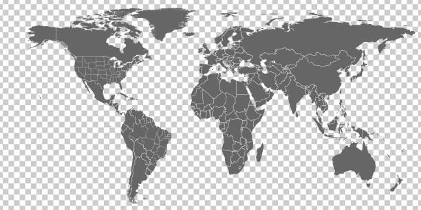
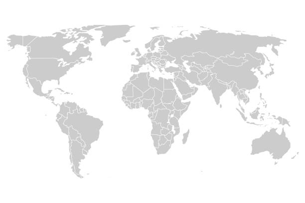
World blank map. High detailed political map of World
Planet Earth icon. Earth globe isolated on white background. Vector
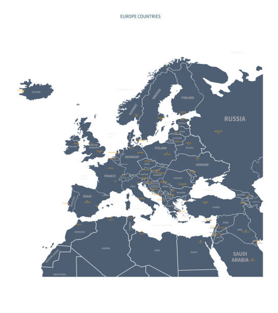
Europe countries political map with national borders and country names. English labeling and scaling. Illustration on white background.

Europe - Highly Detailed Vector Map of the Europe. Ideally for the Print Posters
A world map background made of squares or diamond shapes
Map of the European Union. Capitals and borders can be easily removed in the vector file.
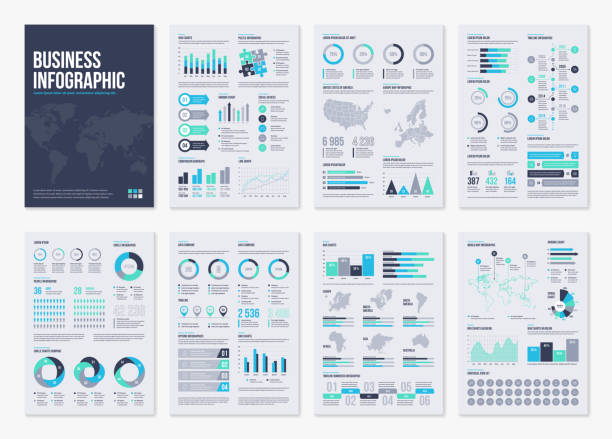
Infographic brochure elements for business data visualization. Vector illustration in modern flat info graphic style.
outline of the world map in gray color on a white backgrounds.vector illustration

Watercolor world map in vector on wight background. Illustration in vector.