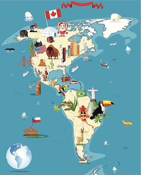
CARTOON MAP OF BRAZILI have used http://legacy.lib.utexas.edu/maps/world_maps/world_physical_2015.pdfhttp://legacy.lib.utexas.edu/maps/americas/south_america_ref_2010.pdfaddress as the reference to draw the basic map outlines with Illustrator CS5 software, other themes were created by myself.