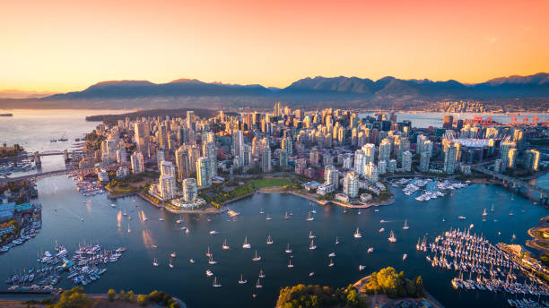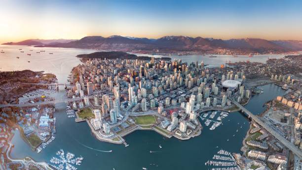
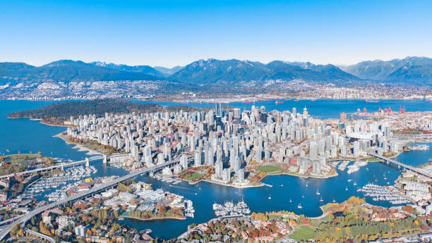
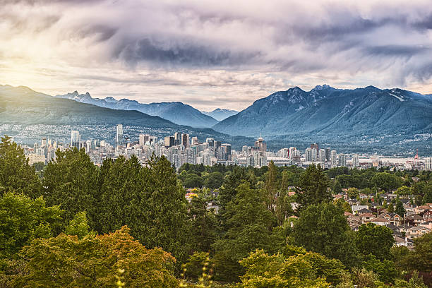
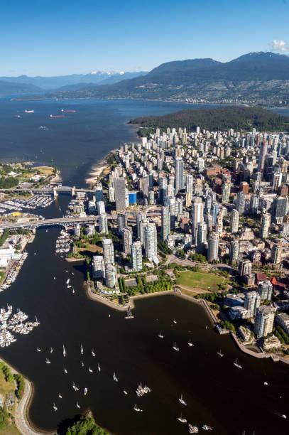
A panoramic drone view of Vancouver downtown.
Browse 7,900+ vancouver aerial view stock photos and images available, or search for aerial view of vancouver to find more great stock photos and pictures.
A panoramic drone view of Vancouver downtown.

Seaplane view of Vancouver, BC. Largest cities in Canada.
Aerial shot of Downtown Vancouver with Mountains, Skyscrapers, Bridges, burrard inlet in autumn
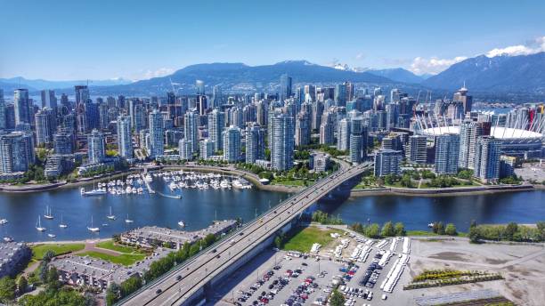
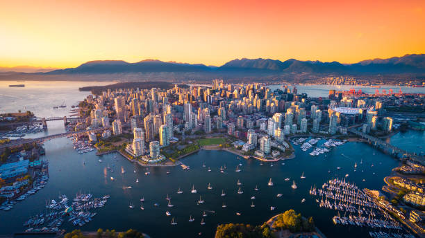
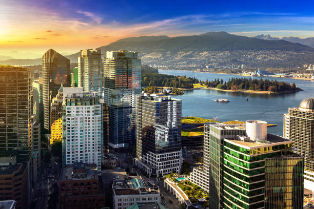
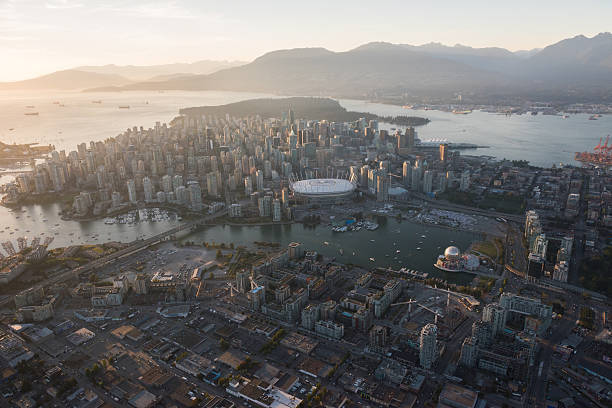
A sunny mid 2020 aerial shot of downtown Vancouver, Yaletown, a marina, North Shore mountains, BC Place, False Creek and the Cambie bridge.

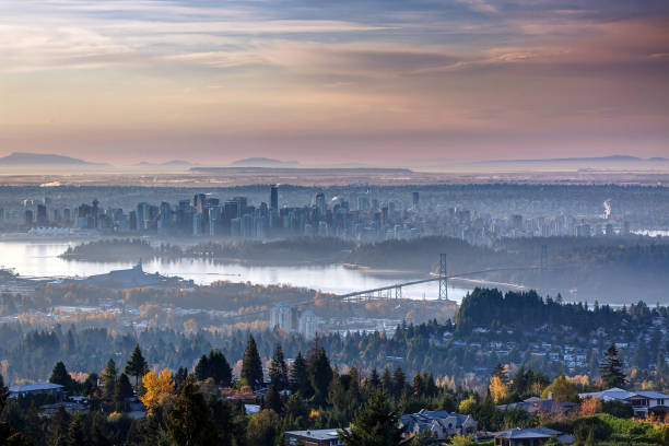
Aerial view of Stanley Park and Downtown Vancouver, BC, Canada. Dramatic Colorful Sunset Sky Art Render.
Aerial Image of Vancouver, British Columbia, Canada with Stanley Park, downtown and waterfront
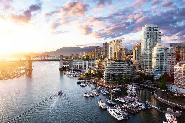
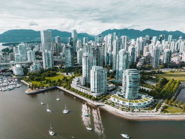
False Creek, Downtown Vancouver, British Columbia, Canada. Beautiful Aerial View of a Modern City on the West Pacific Coast during a colorful Sunset. Sky Composite
vancouver skyline / includign north shore mountains / and all tall buildings
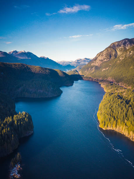
Aerial view of Lake surrounded by Trees and Mountains near Vancouver, British Columbia, Canada

View of Lions Gate Bridge with sea and forest, Vancouver, British Columbia, Canada.

Seaplane flying over Downtown Vancouver during a sunny summer day. 3d rendering airplane. Aerial View of the modern city on the West Coast of British Columbia, Canada.
Look through Vancouver downtown above the Granville Street Bridge
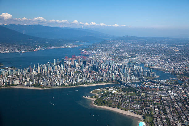
An aerial photo of downtown Vancouver viewed from over English Bay.
Panoramic aerial view of Vancouver business district at sunset, Canada

Sailing near Vancouver Canada. Aerial view of a sail boat on a coastline. Sailing backgrounds.
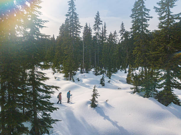
Drone point of view - mature, multi-ethnic couple snowshoeing. North Vancouver, British Columbia, Canada.

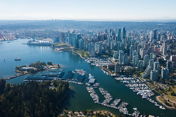
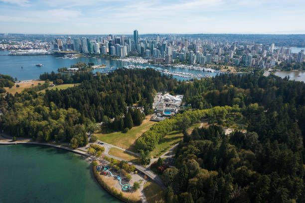
Aerial View of Downtown Vancouver, Coal Harbour and Stanley Park. Taken during a bright sunny morning in British Columbia, Canada. Modern Cityscape from above.
Aerial image of Vancouver British, Columbia, Canada with Stanley Park
Aerial photo of Vancouver, BC, Canada on a partly cloudy day in the evening light. You can see the Stanley Park, Downtown, West end and the harbour.
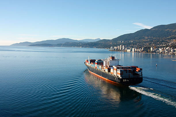
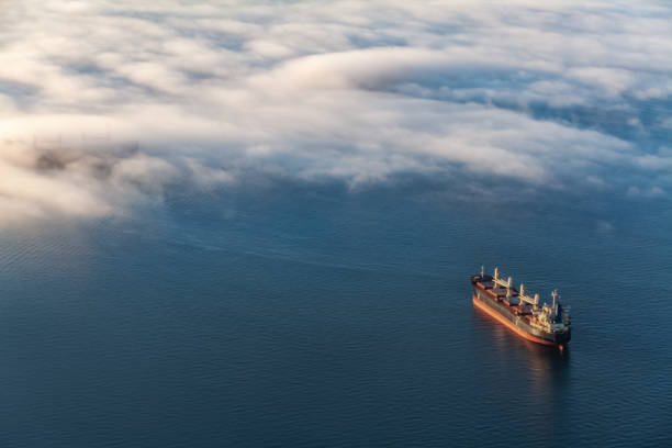
Aerial photo of a loaded container ship leaving port.
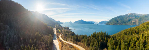
Aerial panoramic view of the Sea to Sky Highway in Howe Sound, North of Vancouver, British Columbia, Canada. Taken during a sunny winter day.
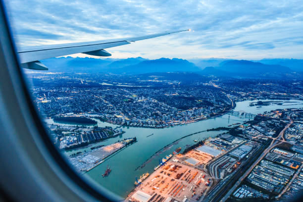
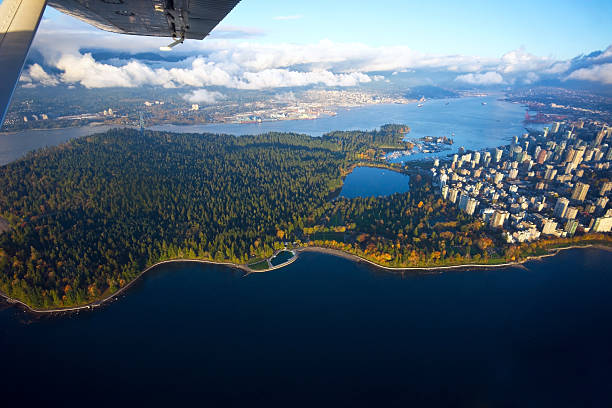
View from airplane window on fields in wing with top view of Vancouver,Canada

Aerial view from an airplane of Downtown City landscape during a vibrant autumn sunset. Taken in Vancouver, British Columbia, Canada.
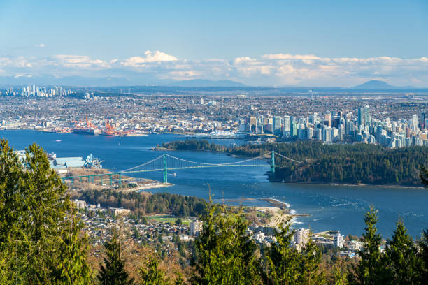
Cypress Mountain Vancouver Outlook. Vancouver city downtown and Harbour panorama view. Lions Gate Bridge, British Columbia, Canada.
Seaplane view of Vancouver, BC. Largest cities in Canada.

The stunning Sea to Sky Highway north of Vancouver
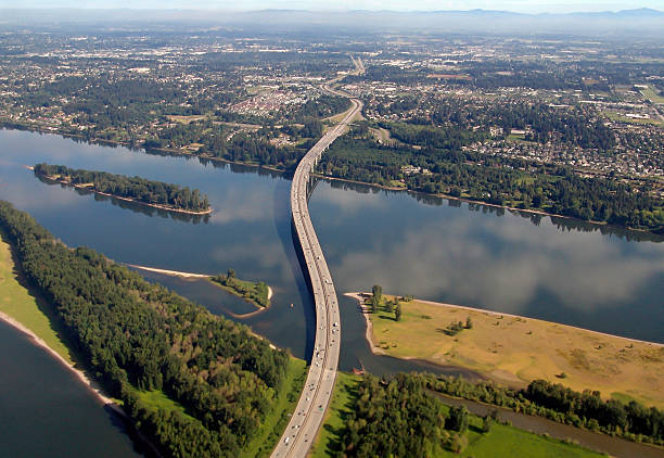
An arial view looking North of Interstate 205 Glenn Jackson Bridge and War Vetrans Memorial Freeway spanning the Columbia River and linking Oregon and Washington in the Pacific Northwest. Washington at top with Oregon at bottom of photo.
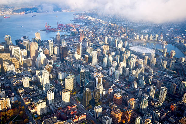
Aerial photo of Vancouver, BC, Canada on a partly cloudy day in the evening light.

3D Render of a Topographic Map of Vancouver, British Columbia, Canada. Contains modified Copernicus Sentinel data (October 04, 2015) courtesy of ESA. Relief texture SRTM data courtesy of NASA. URL of source images:

Downtown Vancouver City, British Columbia, Canada. Beautiful Aerial View from Above of a Modern Cityscape. Colorful Vibrant Sunset. Urban Buildings, Bridges and Streets.
Aerial Image of Vancouver, British Columbia, Canada with Stanley Park, downtown and waterfront

3D Render of a Topographic Map of Vancouver City, British Columbia, Canada. All source data is in the public domain. Contains modified Copernicus Sentinel data (Sep 2019) courtesy of ESA. URL of source image: https://scihub.copernicus.eu/dhus/#/home. Relief texture SRTM data courtesy of NASA. URL of source image: https://search.earthdata.nasa.gov/search/granules/collection-details?p=C1000000240-LPDAAC_ECS&q=srtm%201%20arc&ok=srtm%201%20arc

Aerial Panoramic view of a modern city during a sunny summer sunset. Taken in Downtown Vancouver, British Columbia, Canada.

Beautiful Aerial View of Vancouver Downtown, British Columbia, Canada, during a bright spring sunset.

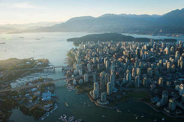
An aerial panoramic shot of the city of Vancouver with modern buildings and a port with moored boats

Aerial view of Stanley Park and Downtown Vancouver, BC, Canada. Dramatic Colorful Sunset Sky Art Render.

Aerial view of residential neighborhood in Port Coquitlam. Colorful sunset Sky Art Render. Taken in Vancouver, BC, Canada.
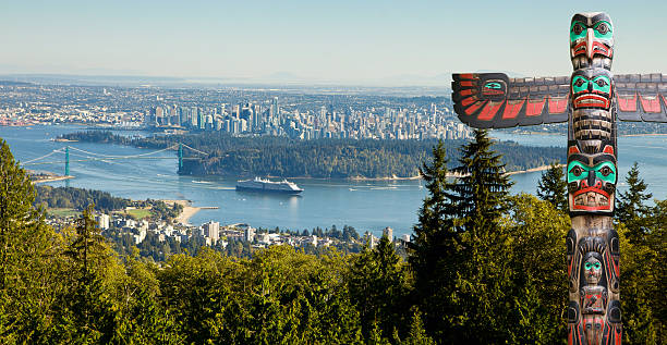
Vancouver as seen from viepoint on the road to Cypress bowl. First nation totem pole in the front

Aerial photo taken from drone British Columbia Greater Vancouver
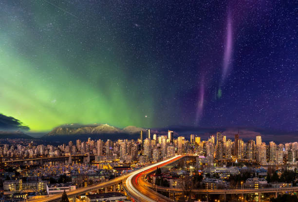
Downtown Vancouver, British Columbia, Canada. Beautiful Aerial Panoramic View of a Modern City. Cityscape Skyline. During Colorful Night with aurora borealis Composite. Dreamscape

Downtown Vancouver, British Columbia, Canada. Aerial View of the Modern Urban City, Stanley Park, Harbour and Port. Viewed from Airplane Above during a sunny morning.
This is an aerial shot of Vancouver during day light.

Aerial View of a Scenic Road in the Valley surrounded by Canadian Mountain Landscape during a sunny summer sunset. Taken near Hope, East of Vancouver, BC, Canada.
Aerial Image of Vancouver, British Columbia, Canada with Stanley Park, downtown, Granville Bridge, Burrard Street Bridge and waterfront

Airplane view of downtown Vancouver Canada. Top travel destinations in Canada. Real estate in Vancouver, BC.