Illustrations
Germany Blank Map Pics stock illustrations
Browse 2,500+ germany blank map pics stock illustrations and vector graphics available royalty-free, or start a new search to explore more great stock images and vector art.
Most popular
A map with European Union countries and their capitals.
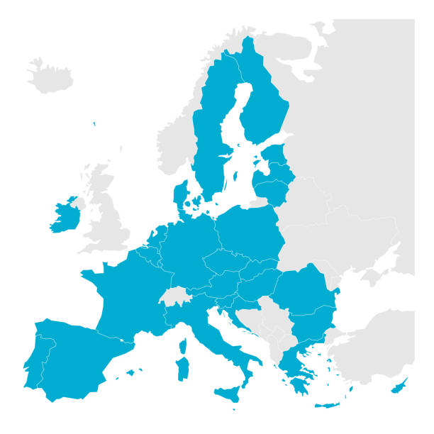
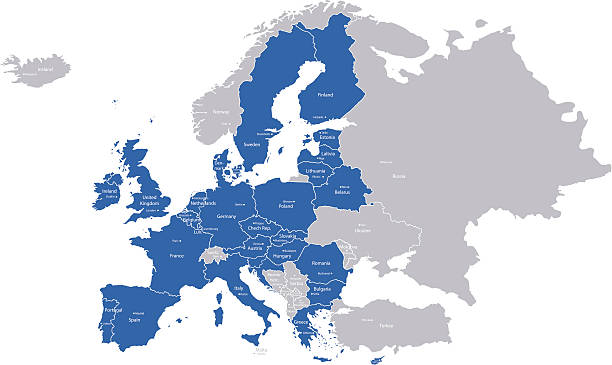
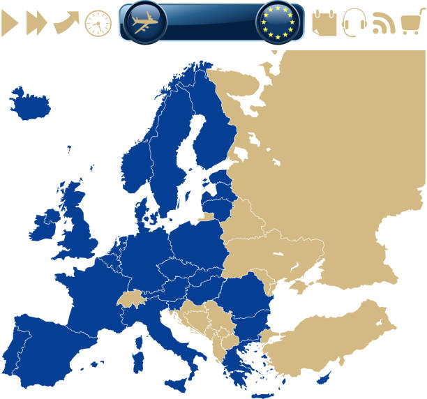
Political map of Europe with blue highlighted 27 European Union, EU, member states after brexit in 2020. Simple flat vector illustration.

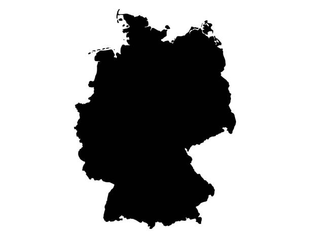
Gray Germany map isolated on a white background. EPS10 vector file

Vector illustration of the map of Germany
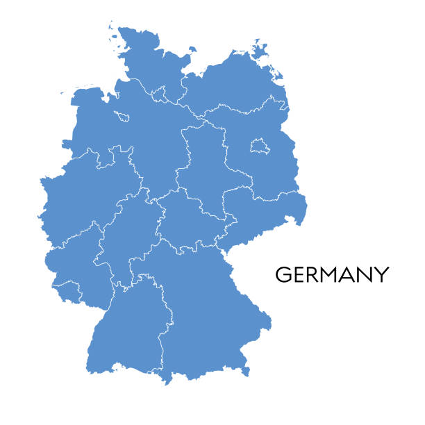
Vector illustration of the map of Germany
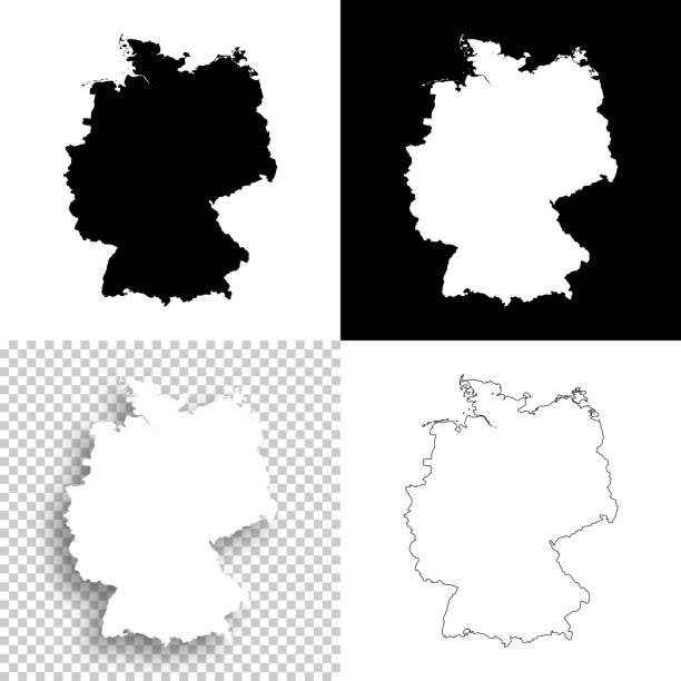
Map of Germany for your own design. With space for your text and your background. Four maps included in the bundle: - One black map on a white background. - One blank map on a black background. - One white map with shadow on a blank background (for easy change background or texture). - One blank map with only a thin black outline (in a line art style). The layers are named to facilitate your customization. Vector Illustration (EPS10, well layered and grouped). Easy to edit, manipulate, resize or colorize. Please do not hesitate to contact me if you have any questions, or need to customise the illustration. http://www.istockphoto.com/portfolio/bgblue

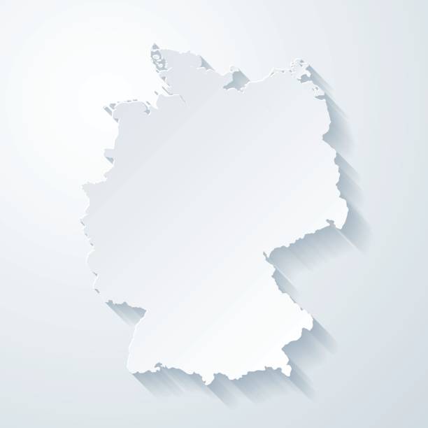
Map of Germany with a realistic paper cut effect isolated on white background. Vector Illustration (EPS10, well layered and grouped). Easy to edit, manipulate, resize or colorize. Please do not hesitate to contact me if you have any questions, or need to customise the illustration. http://www.istockphoto.com/bgblue/


3D map of Germany isolated on a blank and gray background, with a dropshadow. Vector Illustration (EPS10, well layered and grouped). Easy to edit, manipulate, resize or colorize.
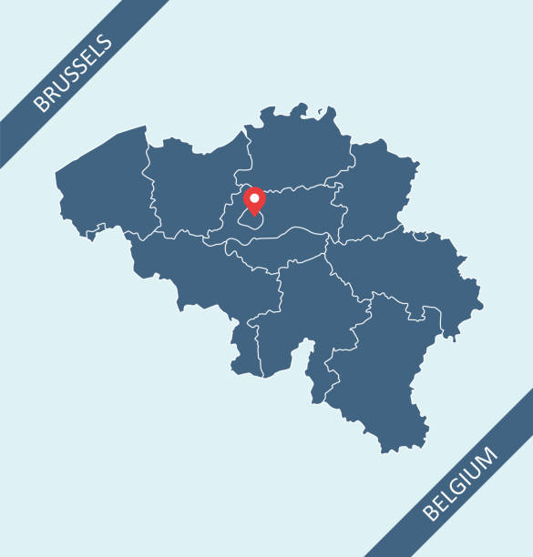
Map of Belgium with its capital location, Brussels, for web page, application, and educational purposes. The map is accurately prepared by a map expert.


High Detailed World Map Contour - vector illustration


Map of Hesse for your own design. With space for your text and your background. Four maps included in the bundle: - One black map. - One blank map with only a thin black outline (in a line art style). - One mosaic map. - One white map with a thin black outline. The 4 maps are isolated on a blank background (for easy change background or texture).The layers are named to facilitate your customization. Vector Illustration (EPS10, well layered and grouped). Easy to edit, manipulate, resize or colorize.
drawn and computer design of vector map of europe with symbols. date of creation:27. 08. 2011 layers used: outlines .maps and the borders of country layers separately. created by illustrator cs3. source of map: http://www.lib.utexas.edu/maps/europe/txu-oclc-247233313-europe_pol_2008.jpg and http://www.lib.utexas.edu/maps/world_maps/txu-oclc-264266980-world_pol_2008-2.jpg
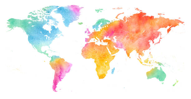
High detailed Multicolor Watercolor World Map Illustration with borders on white Background, Side View.

Thin black outline map of European Union - EU. Vector illustration.

Hand-drawn vector drawing of a Couple Talking About a Trip with a dotted line Path And Flags with Numbers as Steps. Black-and-White sketch on a transparent background (.eps-file). Included files are EPS (v10) and Hi-Res JPG.
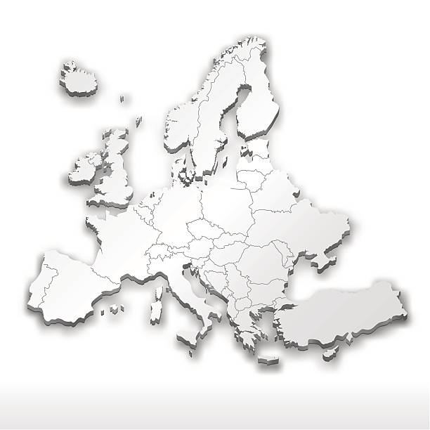
A three dimensional white Europe map. Use it in your presentations, websites and for printing. Hires JPEG and EPS file included!

Multicolor Watercolor Map Illustration of Africa on white Background, Side View.

Illustration with star-striped ribbons on a blue background with copy space. Abstract postcard for a holiday in the usa.


Multicolor Watercolor Map Illustration of Central Europe with borders on white Background, Side View.

Germany editable outline map. German red border. Country name. Adjust line weight. Change to any color. Vector illustration.

Map of the World - Highly Detailed Vector illustration

Germany Outline Map Vector Stock Illustration Design Template. Editable Stroke. Vector eps 10.

Map of the World - Highly Detailed Vector illustration

White map of North Rhine-Westphalia isolated on a trendy color, a blue green background and with a dropshadow. Vector Illustration (EPS10, well layered and grouped). Easy to edit, manipulate, resize or colorize.
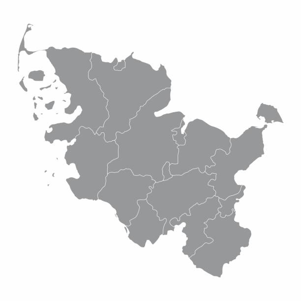
The Schleswig-Holstein isolated map divided in districts, Germany


3D map of Bavaria isolated on a blank and gray background, with a dropshadow. Vector Illustration (EPS10, well layered and grouped). Easy to edit, manipulate, resize or colorize. Vector and Jpeg file of different sizes.


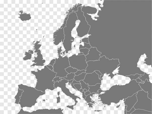
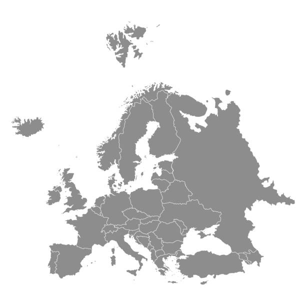
Map of Europe for design. With space for your text and your background.

Map of Bavaria in a trendy vintage style. Beautiful retro illustration with old textured paper and light rays in the background (colors used: blue, green, beige and black for the outline). Vector Illustration (EPS10, well layered and grouped). Easy to edit, manipulate, resize or colorize.
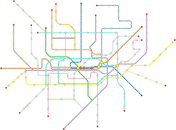
Fictional vector subway map, public transportation map of a great city, free copy space, isolated on white background

Multicolor Watercolor Map Illustration of North America on white Background, Side View.
Map of Germany with a realistic paper cut effect isolated on white background. Vector Illustration (EPS10, well layered and grouped). Easy to edit, manipulate, resize or colorize. Please do not hesitate to contact me if you have any questions, or need to customise the illustration. http://www.istockphoto.com/portfolio/bgblue/
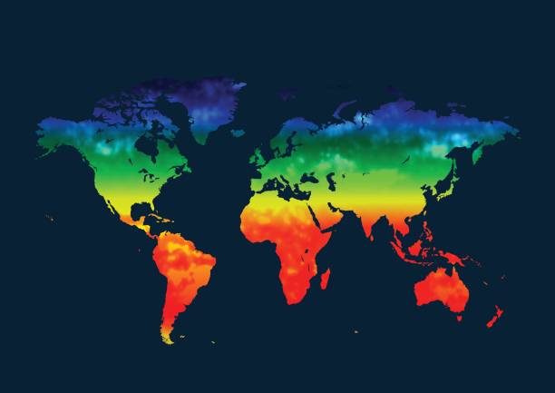
Illustration of temperature increase by changing colors from cold to warm. Isolated, white background, copy space.

Eurozone member states isolated on world map. Euro is their common currency. Light gray background. Business concepts and financial relations.


Map of North Rhine-Westphalia for your own design. Three maps with editable stroke included in the bundle: - One black map on a white background. - One line map with only a thin black outline in a line art style (you can adjust the stroke weight as you want). - One map on a blank transparent background (for change background or texture). The layers are named to facilitate your customization. Vector Illustration (EPS file, well layered and grouped). Easy to edit, manipulate, resize or colorize. Vector and Jpeg file of different sizes.

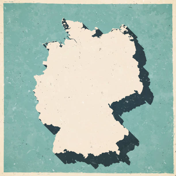
Map of Germany in a trendy vintage style. Beautiful retro illustration with old textured paper and a black long shadow (colors used: blue, green, beige and black). Vector Illustration (EPS10, well layered and grouped). Easy to edit, manipulate, resize or colorize.

Map of Europe sketched, isolated on a blank background.


World Map black blank isolated on white. Vector illustration.


3D map of North Rhine-Westphalia isolated on a blank and gray background, with a dropshadow. Vector Illustration (EPS10, well layered and grouped). Easy to edit, manipulate, resize or colorize. Vector and Jpeg file of different sizes.

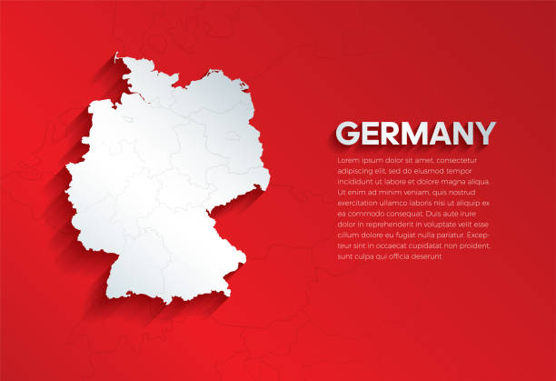
A Germany map on a grey background. Hires JPEG (5000 x 5000 pixels) and EPS10 file included. File contains gradient mesh (EPS 10).
Next