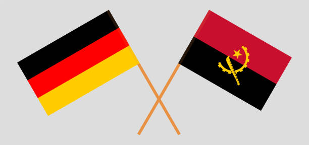
Crossed flags of Germany and Angola. Official colors. Correct proportion. Vector illustration
Browse 1,400+ luanda angola stock illustrations and vector graphics available royalty-free, or search for lagos nigeria or nairobi to find more great stock images and vector art.
Crossed flags of Germany and Angola. Official colors. Correct proportion. Vector illustration
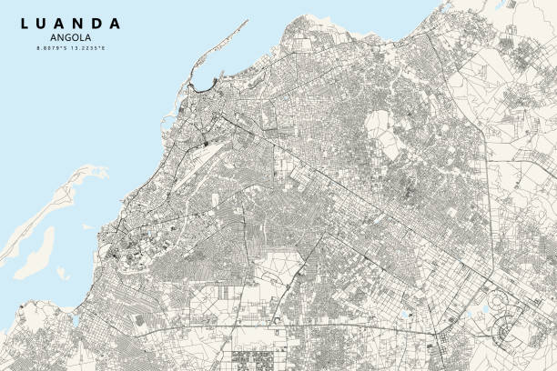
Poster Style topographic / Road map of Luanda, Angola. Original map data is open data via © OpenStreetMap contributors. All maps are layered and easy to edit. Roads are editable stroke.

Luanda Angola City skyline black and white silhouette with Reflections. Vector illustration. Business travel concept. Cityscape with landmarks.

Luanda Angola Skyline with Color Buildings and Blue Sky. Vector Illustration. Business Travel and Tourism Concept with Modern Architecture.
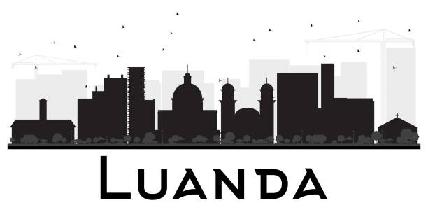
Luanda City skyline black and white silhouette. Vector illustration. Simple flat concept for tourism presentation, banner, placard or web site. Business travel concept. Cityscape with landmarks

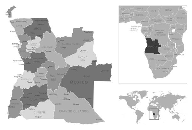
Political map of Angola with capital Luanda, with national borders, most important cities, rivers and lakes. Vector illustration with English labeling and scaling.

Political map of South-Central Africa with capitals, national borders, rivers and lakes. With english labeling and scale.

Map of Angola for your own design. With space for your text and your background. Four maps included in the bundle: - One black map. - One blank map with only a thin black outline (in a line art style). - One mosaic map. - One white map with a thin black outline. The 4 maps are isolated on a blank background (for easy change background or texture).The layers are named to facilitate your customization. Vector Illustration (EPS10, well layered and grouped). Easy to edit, manipulate, resize or colorize.

Map of Angola with a pinned blue pin. Pinned flag of Angola, vector illustration.

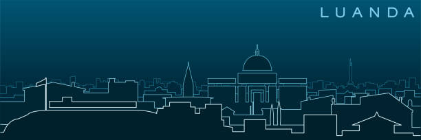
Outline Luanda Angola city skyline with modern buildings and reflections isolated on white. Vector illustration. Luanda cityscape with landmarks.

The Port of Luanda in Luanda the capital city of Angola, Africa. Vintage etching circa 19th century.
Angola - highly detailed black and white map. Vector illustration

Detailed world map with pinned enlarged map of Angola and neighboring countries. Angola flag and map.
Beautiful,Meticulously Designed Home Loan Icon in Flat Style

Angola political map with capital Luanda and exclave Cabinda. Republic and country in Southern Africa on the Atlantic Ocean. Gray illustration isolated on white background. English labeling. Vector.

Cartoon Skyline panorama of city of Luanda, Angola - vector illustration

Vector Angola's central bank, The National Bank of Angola, Luanda,

An Angola soccer ball football 3d illustration isolated on white with clipping path

Angola detailed map with regions and cities of the country. Vector illustration

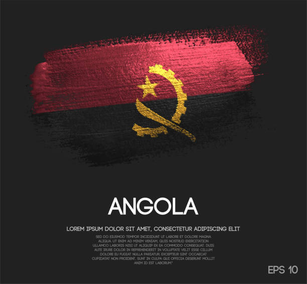
The symbol seen on the Republic of Angola flag. File is built in the CMYK color space for optimal printing, and can easily be converted to RGB without any color shifts.
Beautiful,Meticulously Designed Real Estate Support Icon In Flat Style

Angola blue Low Poly map with capital Luanda, versions with flag, black and outline. Vector Illustration.

Angolan flag in the form of two hearts. Vector illustration on white background. Brush strokes are drawn by hand. Angola Independence Day.

Angola - country map and flag located on globe, world map. 3D Vector illustration

Crossed and waving flags of Angola and Brazil. Vector illustration

Vector map of Angola with infographic elements: regions, cities, charts, icons. Blue color scheme, flat modern style. Ideal for reports, presentations, and educational use.

Angola Forest Map https://maps.lib.utexas.edu/maps/africa/angola.gif

Angola - detailed map with administrative divisions and country flag. Vector illustration

Green Skyline panorama of city of Luanda, Angola - vector illustration

Africa Skyline with Famous Landmarks. Vector Illustration. Business Travel and Tourism Concept. Image for Presentation, Banner, Placard and Web Site.
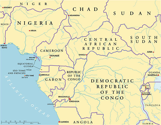
West Central Africa Political Map with capitals, national borders, rivers and lakes. Illustration with English labeling and scaling
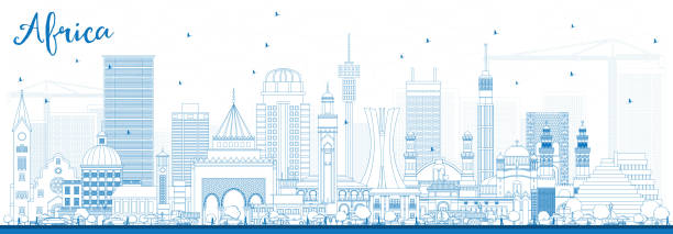
Outline Africa Skyline with Famous Landmarks. Vector Illustration. Business Travel and Tourism Concept. Image for Presentation, Banner, Placard and Web Site.

Map of Angola with National Flag on Fabric Surface on White Background. Vector illustration EPS10

Map of Angola and flags of Angola on flag stand. Vector illustration for diplomacy meeting.

Vector illustration of a red, black, and yellow outlined Angola icon.

Outline Luanda Angola city skyline with modern and historic buildings isolated on white. Vector illustration. Luanda cityscape with landmarks.

Map of Angola cut out on a blank white paper with a blue background. Modern and trendy paper cutout effect. Vector Illustration (EPS file, well layered and grouped). Easy to edit, manipulate, resize or colorize. Vector and Jpeg file of different sizes.

Angola Map Vector Hexagonal Halftone Pattern Isolate On Light Background. Hex Texture in the Form of a Map of Angola. Modern Technological Contour Map of Angola for Design and Business Projects

Angola Flag Set, Flag Set #93. Vector.

Crossed flags of Portugal and Angola. Official colors. Correct proportion. Vector illustration

World map with magnified Angola. Angola flag and map.

Angola, country, flag, welcome, vector

Angola - detailed map of the country in brown colors, divided into regions. Vector illustration

Outline map of Angola with the national flag superimposed at country outline borders. 3d graphic with shadow and the feeling of space