Alaska Us State Pictures, Images and Stock Photos
Browse 870+ alaska us state stock photos and images available, or start a new search to explore more stock photos and images.
Most popular
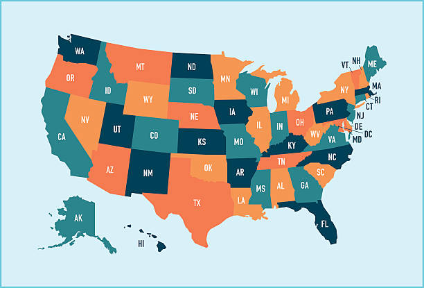
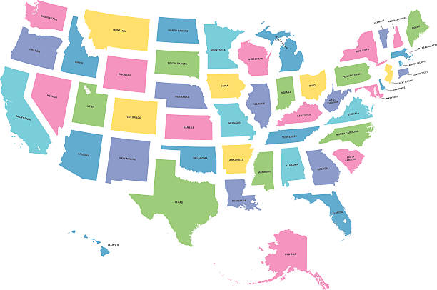
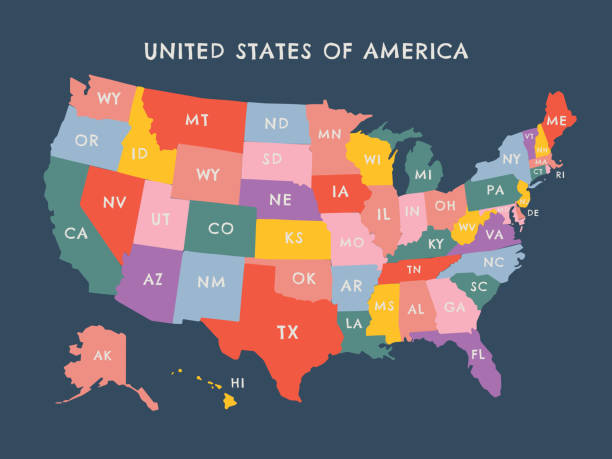
Colorful stylized vector map of the United States of America with state name abbreviations labels. All 50 states can be individually selected.
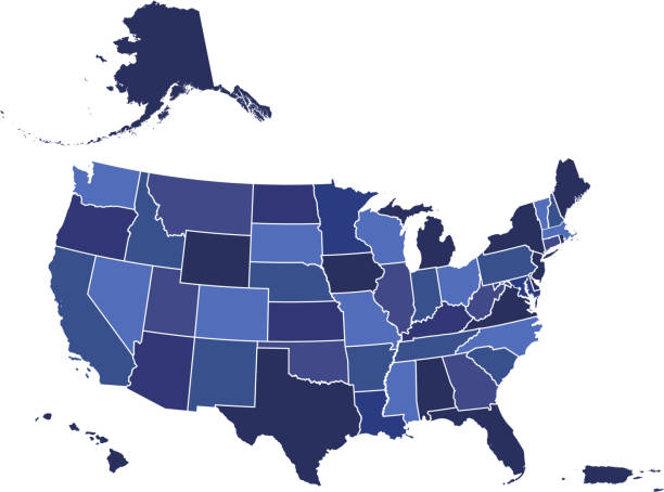
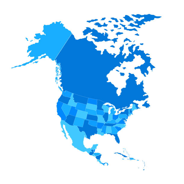
Downloadable blue color gradient map of United States of America. The spatial locations of Hawaii, Alaska and Puerto Rico approximately represent their actual locations on the earth.
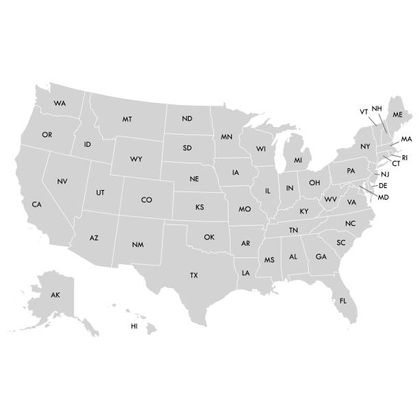
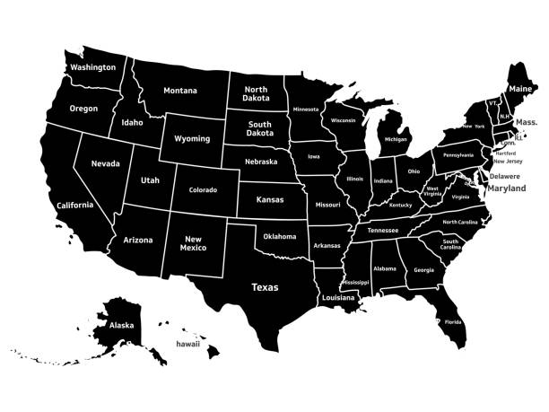
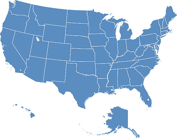
Map of USAMap:http://en.wikipedia.org/wiki/File:Map_of_USA_with_state_names.svg
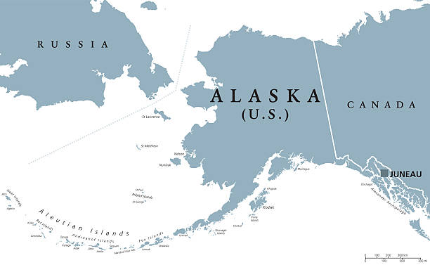
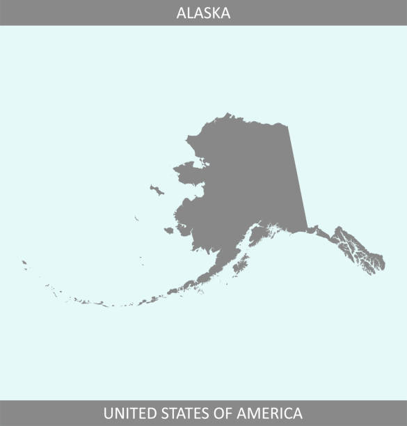
Alaska political map with capital Juneau. U.S. state in the northwest of the Americas with international borders and neighbor countries Russia and Canada. Gray colored illustration. English labeling.
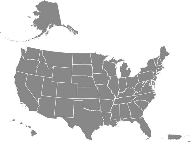
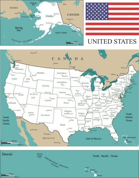
Downloadable map of United States of America. The spatial locations of Hawaii, Alaska and Puerto Rico approximately represent their actual locations on the earth.
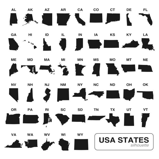
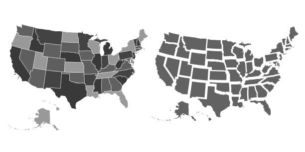
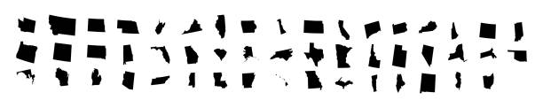
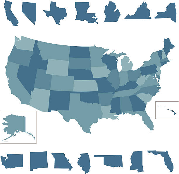
Editable vector of all 50 USA states maps black silhouette collection. Travel and commerce related concept illustration
highly detailed map of all fifty states of USA.
thin line usa map with other territories and shadow. concept of mapping, hand drawn decoration, topography, trip, education, federal. flat style trend modern vector illustration on white background
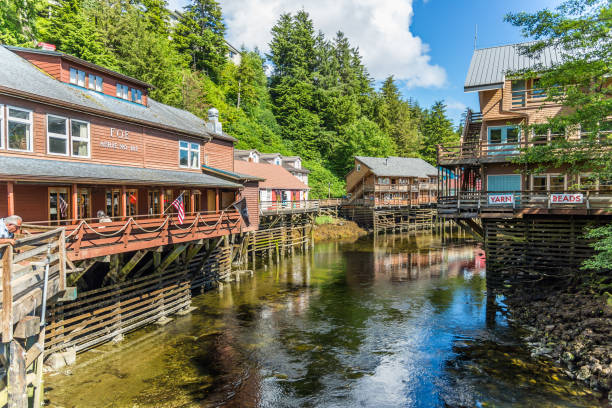
Ketchikan, Alaska / USA - 06/30/2015 Creek Street historic boardwalk in Ketchikan
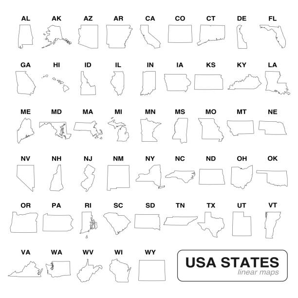
Vector illustration of the map of the United States with the names of the states in short form
United States of America map with state borders, Vector illustration in HD very easy to make edits.
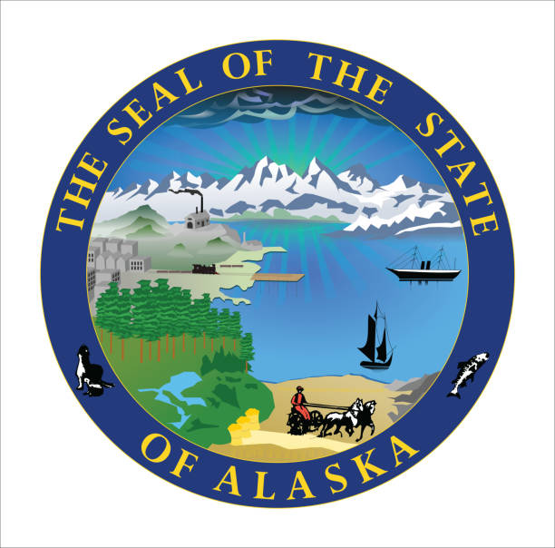
Vector of beautiful Alaska state seal.
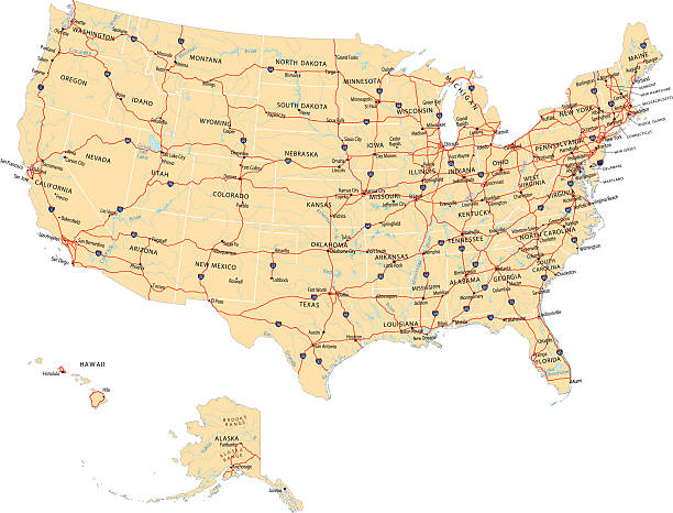
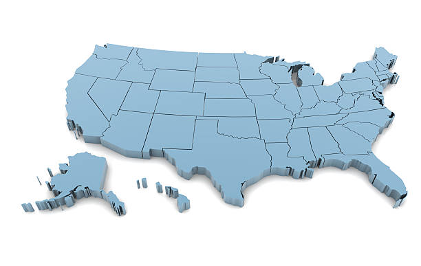
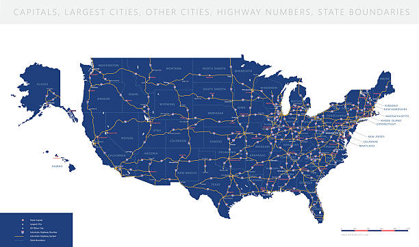
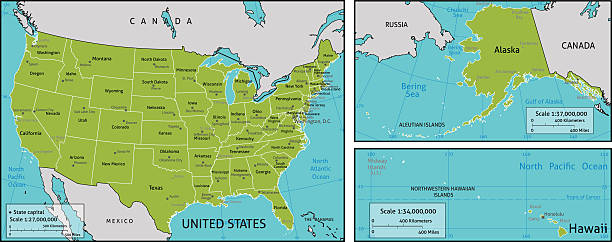
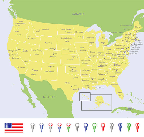
Highly detailed map of United States with roads, states, state capitals, important cities, rivers and major lakes.

Alaska t-shirt design, print, typography, label with old airplane. Vector illustration.
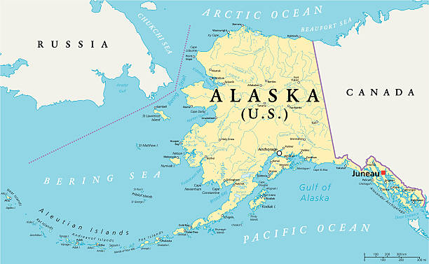
US State Alaska Political Map with capital Juneau, national borders, important cities, rivers and lakes. English labeling and scaling. Illustration.

USA map with geographical state borders and state abbreviations. United States of America map. Colorful US map design with state abbreviations. Vector

Map flag of the U.S. state of Alaska. Vector illustration eps10
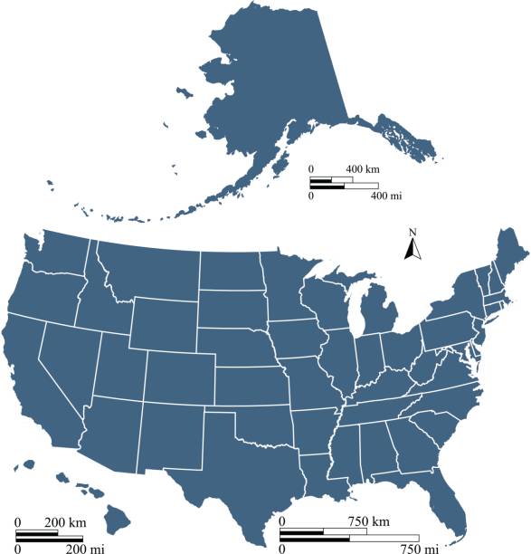
This vector map of United States of America has been accurately made by a graphic designer who has a postgraduate degree in GIS and remote sensing. You can use this map to show your study site of a project. Scales of mile and kilometer are prepared for each map separately due to different map sizes.
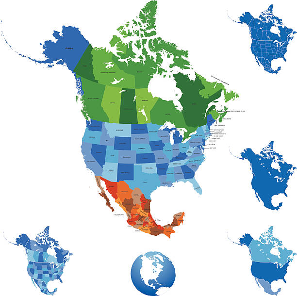
Highly detailed map of North America for your design and products.
Map of Alaska Vector Stock Illustration Design Template. High Detailed Map. Vector eps 10.
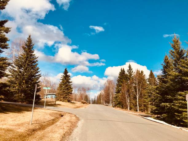
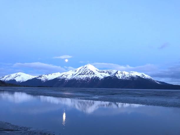
Beautiful landscape of Alaska during spring season
alaska state map concept
Vector USA map with pins. Download includes high resolution jpeg. All elements are separated in editable layers.

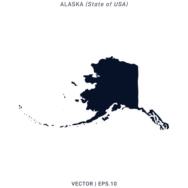
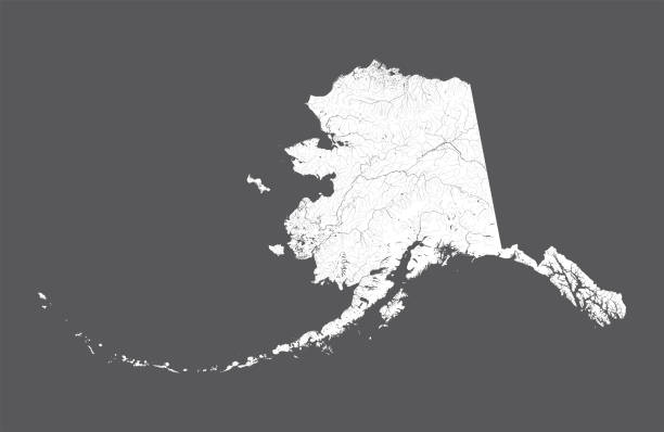
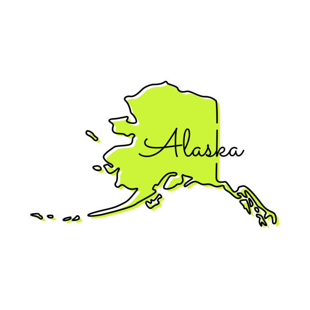
Silhouette map of the Alaska.
U.S. states - map of Alaska. Hand made. Rivers and lakes are shown. Please look at my other images of cartographic series - they are all very detailed and carefully drawn by hand WITH RIVERS AND LAKES.
High detailed USA interstate road map vector
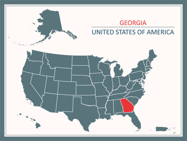
Downloadable map of Georgia state of United States of America. The spatial locations of Hawaii, Alaska and Puerto Rico approximately represent their actual locations on the earth.
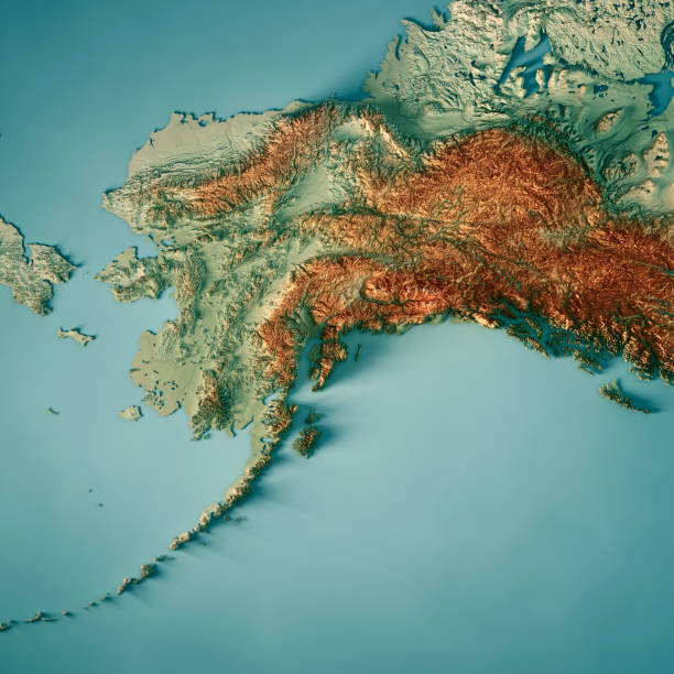
3D Render of a Topographic Map of the US state of Alaska. All source data is in the public domain. Color texture: Made with Natural Earth. http://www.naturalearthdata.com/downloads/10m-raster-data/10m-cross-blend-hypso/ Boundaries Level 0: Humanitarian Information Unit HIU, U.S. Department of State (database: LSIB) http://geonode.state.gov/layers/geonode%3ALSIB7a_Gen Relief texture and Rivers: SRTM data courtesy of USGS. URL of source image: https://e4ftl01.cr.usgs.gov//MODV6_Dal_D/SRTM/SRTMGL1.003/2000.02.11/ Water texture: SRTM Water Body SWDB: https://dds.cr.usgs.gov/srtm/version2_1/SWBD/
Downloadable map of United States of America
Editable vector of all 50 USA states line art maps collection. Travel and commerce related concept illustration
A set of Alaskan themed icons. See below for more travel images and other city and country icon sets. If you can't see a set you require, message me I take requests!
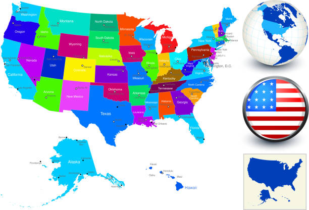
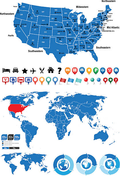
World Geography Map of United States

A vector map of the united States with individual states outlines.
Alaska Map Vector Illustration Design Template. Vector eps 10.
vector map of the United States , Each state is an individual object and can be colored separately.
The map is accurately prepared by a map expert.
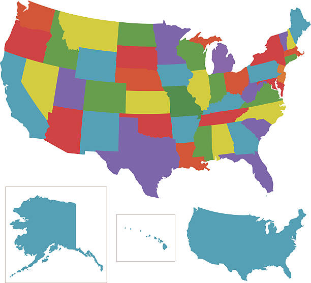
Vector colorful USA with individual states outlines.

Alaska state flag waving in the wind with the national flag of the United States. Alaska flag is blue with Big Dipper and Polaris stars. 3d illustration render. Rippled fabric
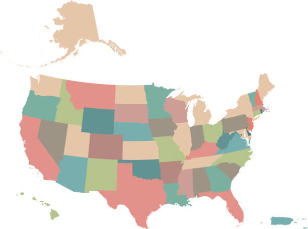
Highly detailed downloadable and printable colorful background of United States of America map with states borders editable. The spatial locations of Hawaii, Alaska and Puerto Rico approximately represent their actual locations on the earth.
A map of America with all state names, state capitals and other major cities. Organised in vector version in easy to use layers. Colors and strokes also easily changed. Layers include
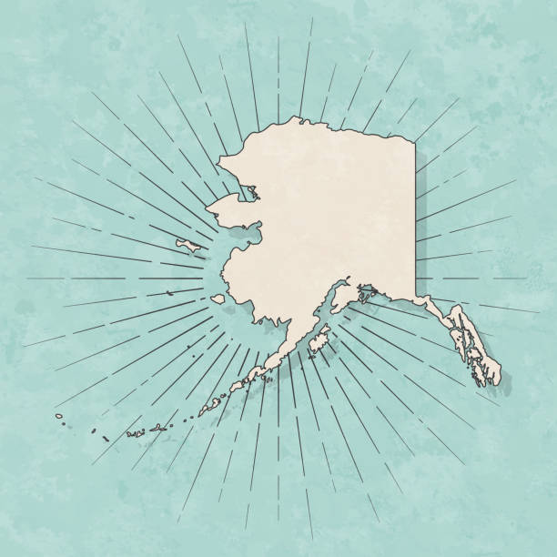
Map of Alaska in a trendy vintage style. Beautiful retro illustration with old textured paper and light rays in the background (colors used: blue, green, beige and black for the outline). Vector Illustration (EPS10, well layered and grouped). Easy to edit, manipulate, resize or colorize.

Set of 5 dotted maps of the United States in 5 different resolutions: from very low to ultra high, and two outline maps: with and without division by states.
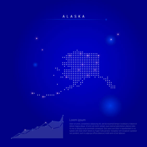
Alaska US state illuminated map with glowing dots. Infographics elements. Dark blue space background. Vector illustration. Growing chart, lorem ipsum text.
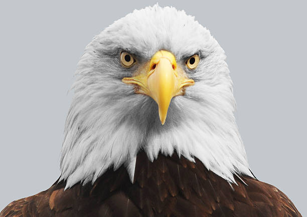
Illustration of an isolated, bald eagle.

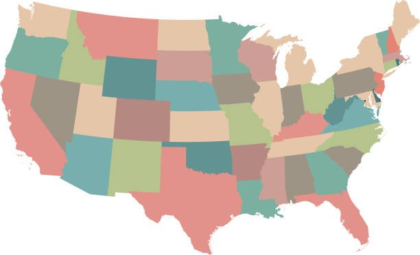
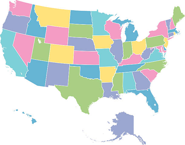
Colorful USA map with multi-colored individual states.
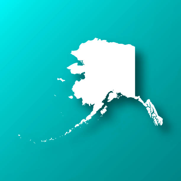
White map of Alaska isolated on a trendy color, a blue green background and with a dropshadow. Vector Illustration (EPS10, well layered and grouped). Easy to edit, manipulate, resize or colorize.
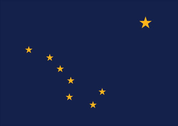
Vector of nice Alaska state flag.
Map of the United States of America with the names of the states. Vector illustration in HD very easy to make edits.
EPS 10 and JPEG
Every state is a seperate object that has a complete boundary that you can edit it. The map and scales are accurately prepared by a map expert.
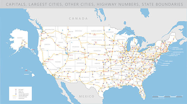
High detailed USA interstate road map vector
vector map of the United States , Each state is an individual object and can be colored separately.
Detailed map of USA.
Next