set of United State street sign. (carolina,oklahoma,albama,kansas,new york,ohio,dallas,florida,brooklyn,missouri). easy to modify
Browse 39,400+ us interstate highway stock photos and images available, or start a new search to explore more stock photos and images.
set of United State street sign. (carolina,oklahoma,albama,kansas,new york,ohio,dallas,florida,brooklyn,missouri). easy to modify

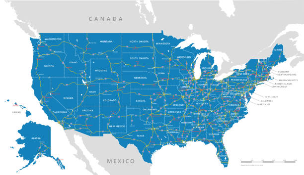
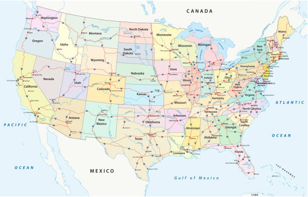
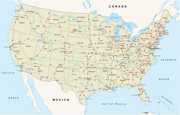
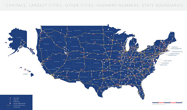
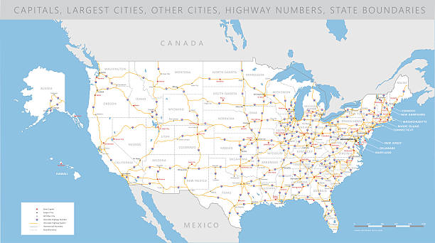
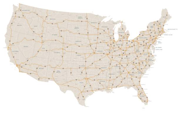
Map of the 48 conterminous United States with Interstate system (labeled). There are also US routes (not labeled). Each state is outlined and labeled. Also includes state capitals (labeled) and major lakes.
us interstate highway, administrative and political vectormap
Professional bubble icon series - road signs.
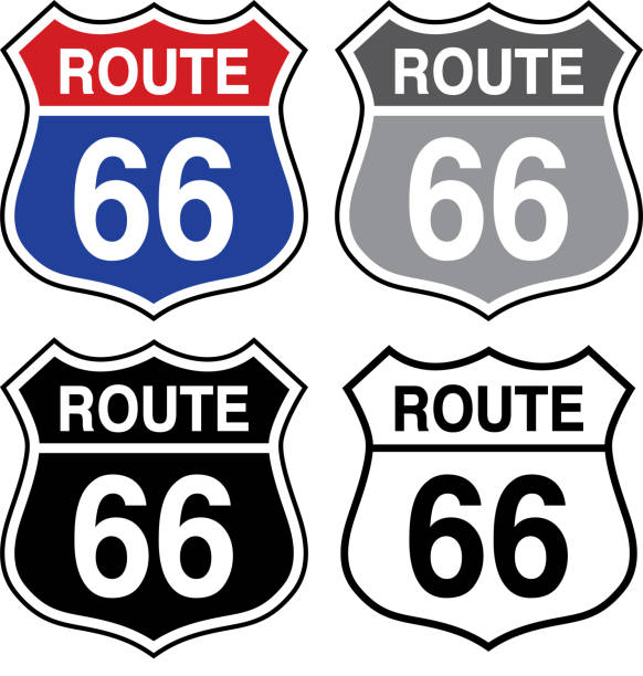
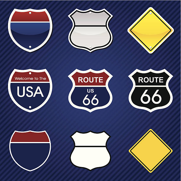
Vector illustration of a set of four route 66 signs.

A heavy flow of 18-wheelers peppered with cars and SUVs roll down a Tennessee interstate highway. Heat rising from the pavement gives a shimmering effect to vehicles and background in the distance.
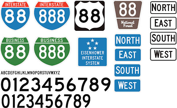
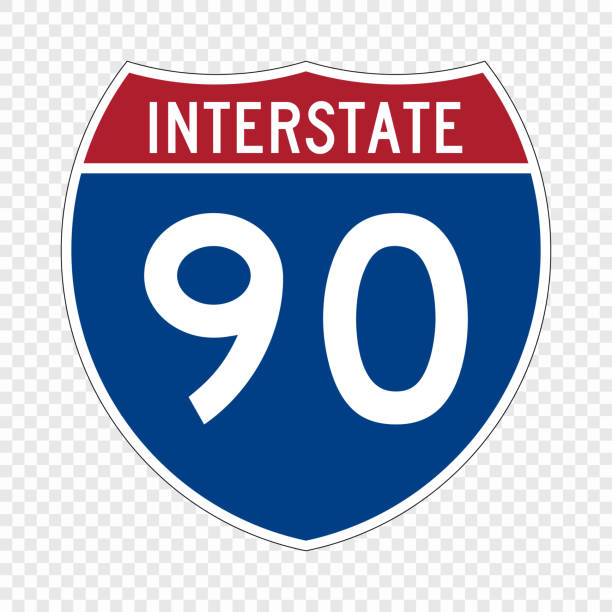
Built using the Federal Highway Administration specifications, these are some of the official style of signs used on US Highways and Interstates. Included is the correct vectored lettering and numbers (Free fonts are available that match official guidelines - Roadgeek is one of them).
Cars in motion on wide asphalt street with road signs
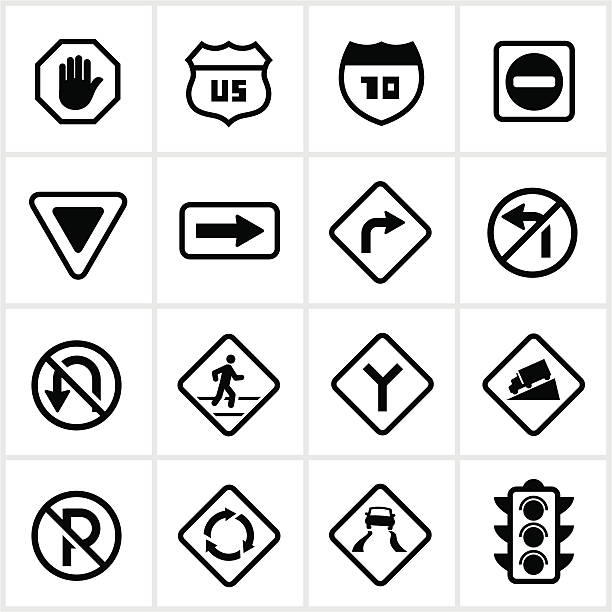
Road signs/symbols. All white strokes and shapes are cut from the icons and merged.
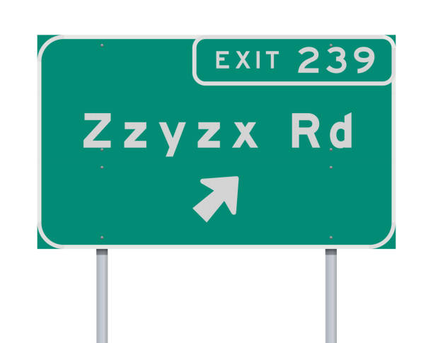
Vector illustration of the Zzyzx Route Exit direction green Road sign

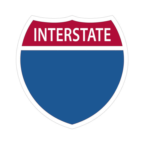
Blank interstate sign with copy space for your message on a white background.I suggest using the Arial font to get the interstate look.This is a detailed 3d rendering.

A driver's point of view of daytime traffic on Interstate 15 in Utah.
A steady flow of semis lead the way down a busy interstate highway in Tennessee. Heat waves rising from the pavement give a nice shimmering effect to vehicles and forest behind the lead trucks. Excellent reverse copy space across both top and bottom of image.
Interstate Highway Signs - US ROAD SIGN VECTOR EPS 10.
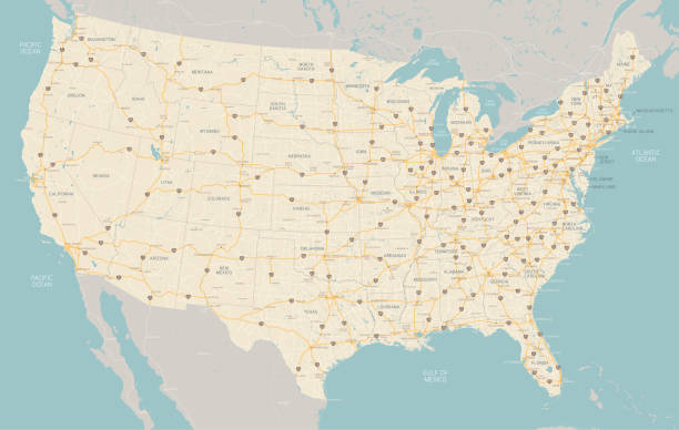
"A very detailed map of the United States with freeways, major highways, major cities and lakes and rivers. Each state was drawn separately so shoreline and waterways are very detailed."
Road vector map of the united states of america
The heavy traffic on the interchange between the Interstate 10 and 110 freeways near downtown Los Angeles, California during rush hour.
Road signs in different graphic styles on stripped background (another layer). PNG file (3056x3036 without background) is also included.
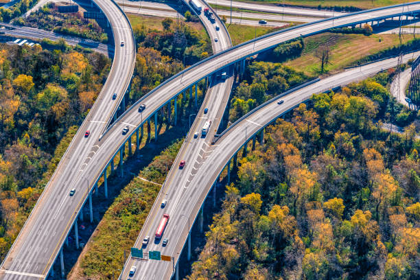
Composite image of separate east and westbound elevated interstate roadways splitting and merging into another north/south freeway shot aerially from about 1000 feet in altitude. This shot taken just outside of downtown Nashville, Tennessee.
Horizontal close-up shot of orange and white striped traffic barrels down the side of a road with shallow depth of field.

Vector illustration of a set of road signs on a white background.
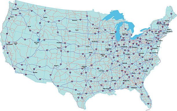
High detailed USA interstate road map vector

Large semi truck hauling freight on the open highway in the western USA under an evening sky.
High detailed USA interstate road map vector
Drone shot of the I-10 / I-110 Interchange on the edge of Downtown Los Angeles at sunset.
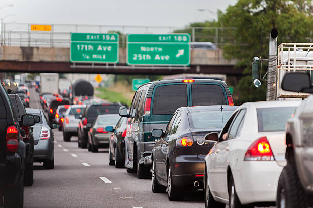
Vehicles with their brake lights lit up as they are stopped on an inboud interstate highway on an overcast summer morning in chicago.

Aerial view of San Antonio, TX, interstate highway system.

View from above of I-40 freeway in North Carolina heading to Asheville through Appalachian mountains in golden fall season with fast driving trucks and cars. Interstate transportation concept.
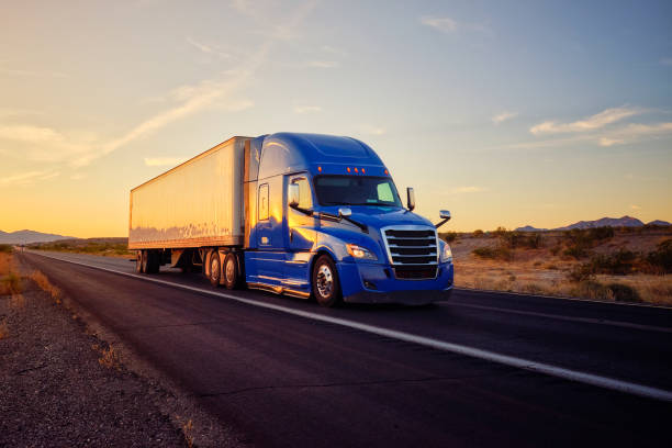
Large semi truck hauling freight on the open highway in the western USA under an evening sky.

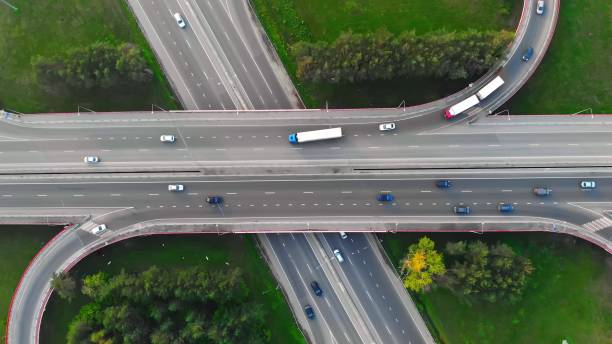
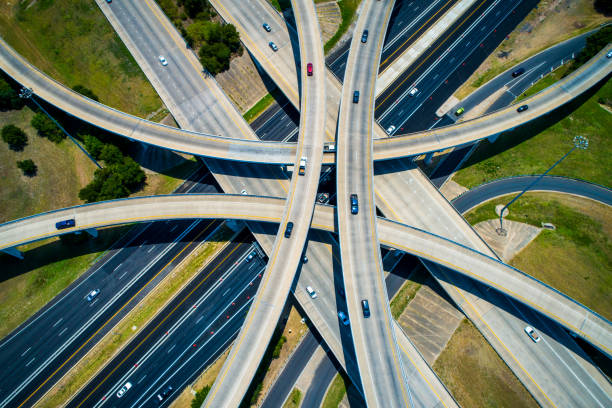
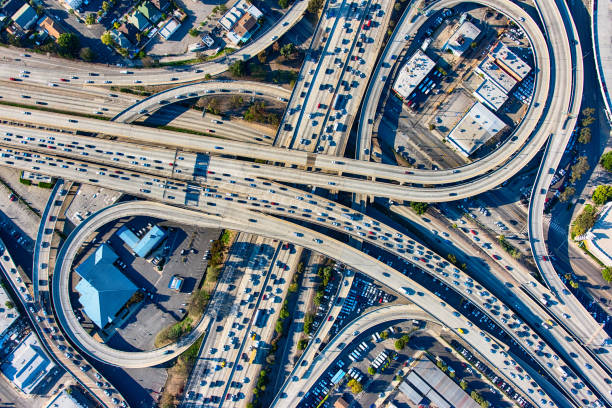
Aerial view of road interchange or highway intersection with busy urban traffic speeding on the road. Junction network of transportation taken by drone.
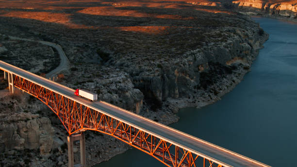
Aerial shot of route 90 on the Pecos River Bridge across the Pecos River near Del Rio, Texas.

Vector illustration of a red, white and blue empty map road sign.
A very detailed map of the United States with freeways, major highways and major cities. Each state was drawn separately so shorelines are very detailed.
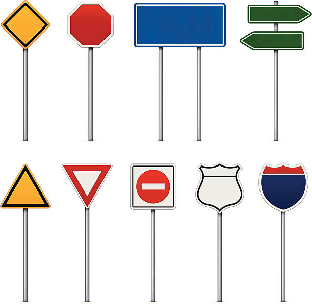
Set of Road Signs on white background.
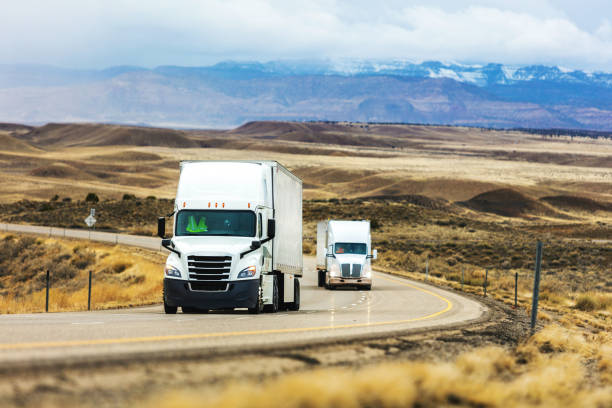
Commercial Semi Truck Cargo Transport hauling freight on an Interstate highway in the western USA at Dusk During a Late Winter Storm Delivering Supplies During COVID-19 Pandemic (Shot with Canon 5DS 50.6mp photos professionally retouched - Lightroom / Photoshop - original size 5792 x 8688 downsampled as needed for clarity and select focus used for dramatic effect)

Traffic on a highway intersection near Dallas, Texas, United States
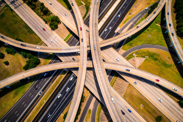
Sepia Amber / Effect / Abstract Aerial Straight down view Curved highways and Interchanges and Overpasses aerial drone high above
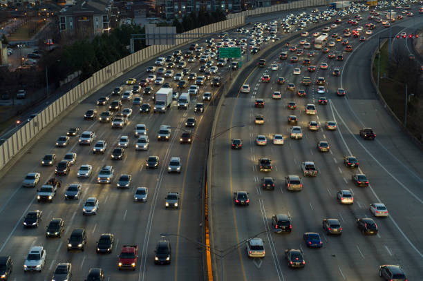
Traffic on Freeway Through Downtown Atlanta, Georgia in Atlanta, Georgia, United States
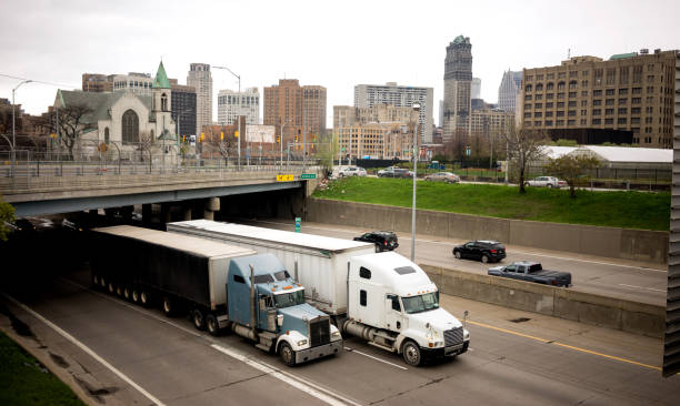
Big Rigs frequent the highways in and around Detroit Michigan in a horizontal composition
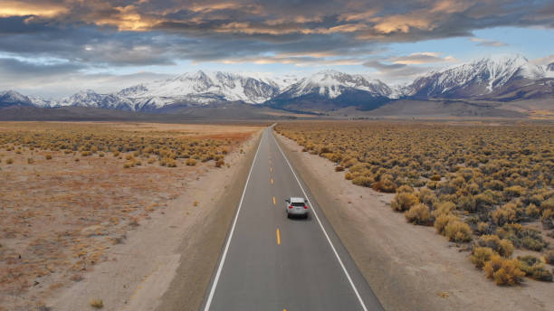
AERIAL: Large SUV drives down the empty highway leading to the spectacular Rockies. Flying above interstate running through the picturesque rugged countryside in Nevada. Breathtaking mountain range.
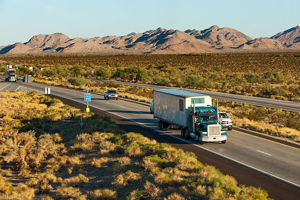
Traffic moving across America on interstate I-10, Arizona

Daytime aerial view of the 10 and 19 freeway interchange in south Tucson, Arizona, USA.
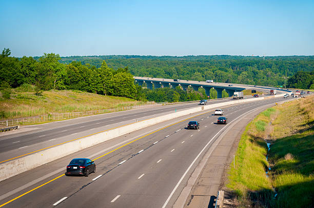
The Ohio Turnpike (Interstate 80) crosses the Cuyahoga Valley south of Cleveland
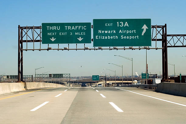
NJ Turnpike (I-95) exit to Newark and Elizabeth, New Jersey