Aerial View City stock illustrations
Browse 9,000+ aerial view city stock illustrations and vector graphics available royalty-free, or search for aerial city or aerial view city night neon to find more great stock images and vector art.
aerial city
aerial view city night neon
aerial view
cityscape
middle east finance
aerial view city urban scene
aerial view city trees
aerial view city night
aerial view city street
aerial view city lights
aerial view city sunrise
aerial view city at night
aerial view city scape
aerial view city park
aerial view city new york
aerial view city people
aerial view city australia
aerial view city empty
aerial view city buildings usa
aerial view city buildings
aerial view city uk
aerial view city network
aerial view city london
top down aerial view city
new zealand aerial view city
aerial view city usa
aerial view city copy space
aerial view city and nature
aerial view city road
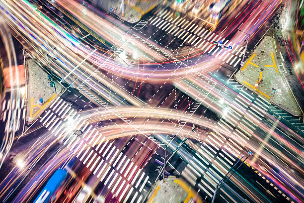
aerial view city night traffic
Most popular
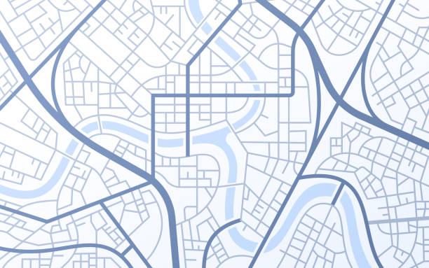
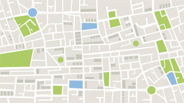
City urban roads and streets abstract map downtown district map.
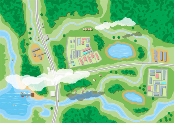
Suburban map with houses with car, boats, trees, road, river, forest, lake and clouds. Village aerial view. Vector illustration in flat style

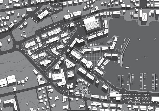
Flat style vector illustration of aerial birds eye view of city with buildings and houses detailed view of city from above.

A detailed city plaza or sidewalk bustles with a crowd of 80+ unique, fictional people walking, running, cycling, standing, and seated. Contemporary men and women use smart phones and tablets on a sunny, comfortable late afternoon. Some wear work uniforms and carry on with their jobs, while others gather in groups to meet casually. A range of ages, ethnicities, and socioeconomic backgrounds are represented in the population, illustrated in isometric view and in bold color.
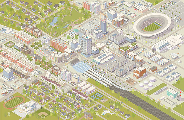
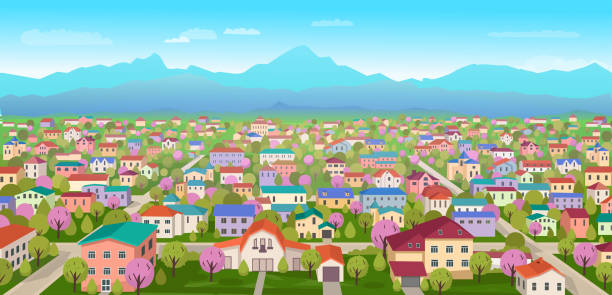
Isometric city vector illustration shows detailed suburbs, downtown, industrial area, and residential neighborhoods. Hundreds of buildings are illustrated in different styles, serving cultural, government, commercial, industrial, and residential needs. A railroad terminal leads into the city center, and a sports stadium has been built nearby. Trees, parks, cars and trucks complete this detailed cityscape, shown in aerial view.
Top view of the city roof of the house and street urban landscape view town infrastructure

urban City map vector graphic

![Town plan An aerial view of a small town, including roads, houses, river, small shopping precinct, administrative building, school or health centre etc.
10 layers aid editing.
Please view my vector landscapes lightbox for similar files
[url]http://www.istockphoto.com/file_search.php?action=file&lightboxID=3390977[/url]
aerial view city stock illustrations](https://media.istockphoto.com/id/165731509/vector/town-plan.jpg?s=612x612&w=0&k=20&c=wU23ZufaFEER_hCzIbQ36Haae1Uv_01xTntvlIDr130=)
An aerial view of a small town, including roads, houses, river, small shopping precinct, administrative building, school or health centre etc. 10 layers aid editing. Please view my vector landscapes lightbox for similar files [url]http://www.istockphoto.com/file_search.php?action=file&lightboxID=3390977[/url]

Seamless road and city building background concept. EPS 10 file. Transparency effects used on highlight elements.

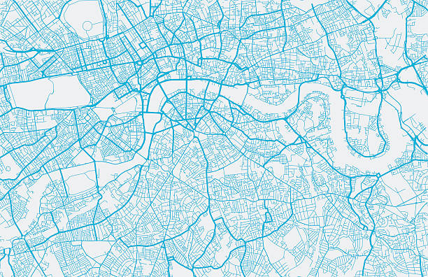
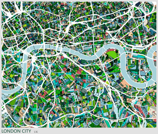
London city map. Map data © OpenStreetMap contributors.

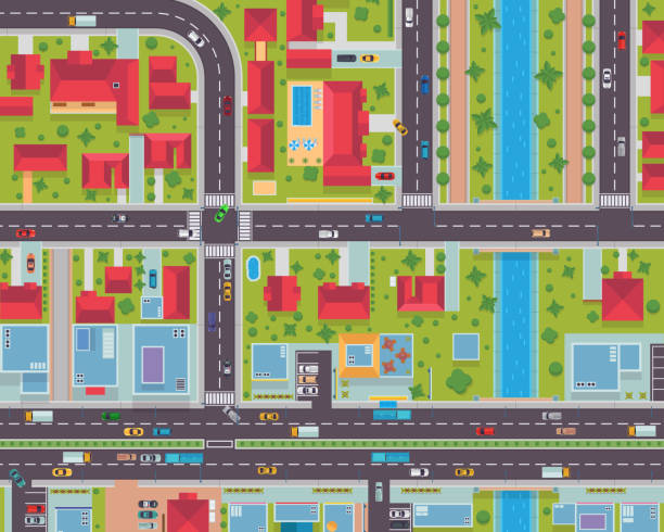
City top view with buildings, cars on road and pedestrian crosswalk at night. Vector cartoon cityscape in aerial view, street crossroad, sidewalk and roofs of urban houses with glow windows
Modern Detail Urban City Map Housing And Commercial Area From Top View Illustration
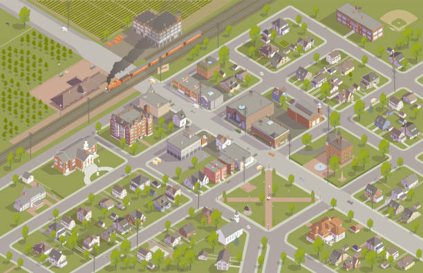
A fictional town from around the 1920s is illustrated in isometric view. The aerial view shows the town's zoning and street plan, and includes train station, commercial main street, apartments, houses, a park, town hall, firehouse, movie theater, school, hotel, and place of worship. Details include a steam-powered locomotive, vehicles from the period, dozens of trees, telephone poles, and neighboring farms.

Traffic jam vector poster with cars driving on road top view. Rush hour in city, vehicles on two lane highway. Automobiles stand in rows, traffic jam problem of megalopolis, transport congestion
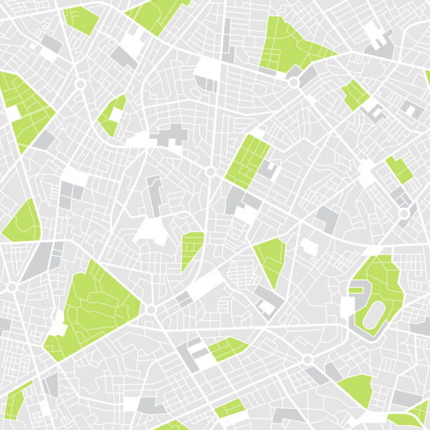
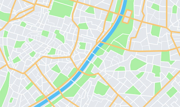
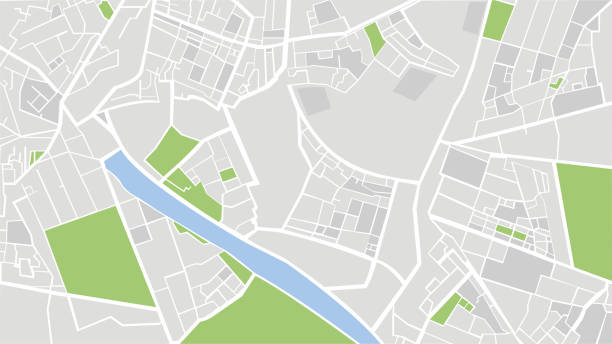
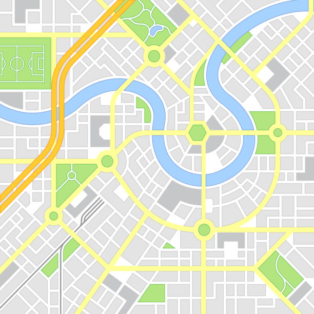
Vector illustration of top view of city details with technological map. In this map, the white color represents the roads in the city, the gray color represents the buildings and apartments, the green color represents the green areas such as parks and gardens, and the blue color represents the wet areas of the city. Location and navigation concepts.
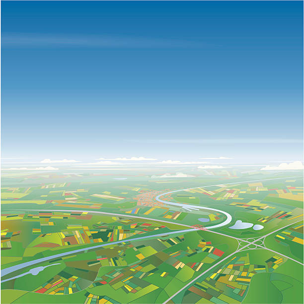
"Vector illustration of an aerial view on a landscape with a river, highway, city and fields. EPS 10 file with transparencies in the haze and clouds. Layered file. Global colors."
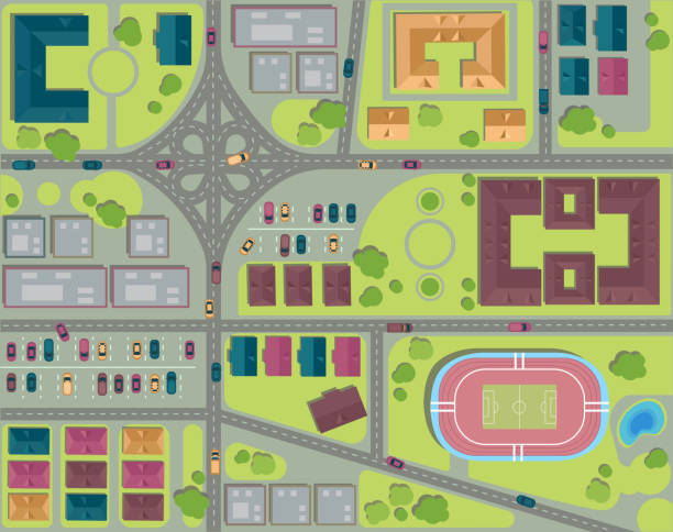
Urban city top view. Streets, houses and buildings, roads, crossroads, park, parking and stadium. View from above Vector illustration
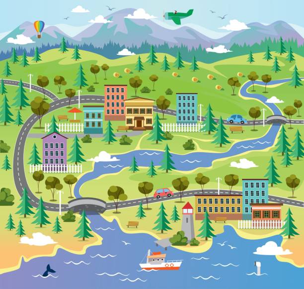
City landscape with building parks and roads vector illustration. Town surrounded by nature flat style. River with sea creatures and boat. Hot air balloon and airplane in sky
ilustration of amsterdam city structure.near Oosterpark Amsterdam.Map data from© OpenStreetMap contributors.

Urban city map background concept.

People crossing road on crosswalk, top view. Pedestrians in city street traffic from above. Group of citizens, kids, pets walking, going, hurrying on safety zebra overhead. Flat vector illustration.
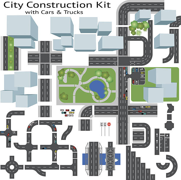
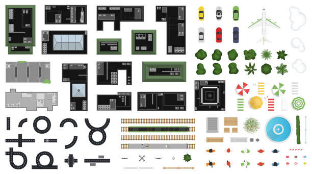
Build your own city, grouped and layered, see my portfolio for other kits


Seamless city streets background.

City downtown scenery with skyscrapers, commercial buildings, outdoor advertising billboards. City center cityscape. Business downtown, lots of ad's. Flat vector illustration isolated on background
![Big suburb A birds eye view of a slice of suburban real estate with plenty of detail and 5 layers to aid editing.Image works vertically or horizontally.
Please view my vector landscapes lightbox for similar files
[url]http://www.istockphoto.com/file_search.php?action=file&lightboxID=3390977[/url]
aerial view city stock illustrations](https://media.istockphoto.com/id/110872723/vector/big-suburb.jpg?s=612x612&w=0&k=20&c=ET1EHYpCHU4_ioEh0u4-SwIhMhYVYOJOzKy-98sSous=)
A birds eye view of a slice of suburban real estate with plenty of detail and 5 layers to aid editing.Image works vertically or horizontally. Please view my vector landscapes lightbox for similar files [url]http://www.istockphoto.com/file_search.php?action=file&lightboxID=3390977[/url]

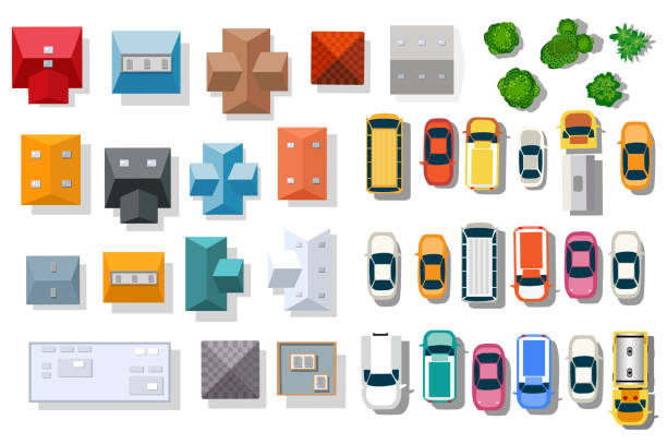
Set Landscape elements, top view.House, garden, tree, lake,swimming pools, bench, table.

Big shopping center or mall and parking for cars. City parking lot with different cars. Tree area. Parking zone top view with various vehicles. City life. Vector illustration in flat style

Isometric City street road map urban landmark place town 3d flat design vector illustration

Generic Location, Map, City Map, Road Map, City
![Small Town Illustration Detailed isometric town includes school, town hall, main street businesses, and unique homes. People and vehicles also included.
› [url=http://www.istockphoto.com/search/lightbox/11669331#8f71a4f]See more from this artist.[/url]
More from mathisworks:
[url=http://www.istockphoto.com/file-closeup/index/stock-illustration-29827878-residential-district.php][img]http://i.istockimg.com/file_thumbview_approve/29827878/2/stock-illustration-29827878-residential-district.jpg[/img][/url]
[url=http://www.istockphoto.com/file-closeup/index/stock-illustration-26596852-isometric-city.php][img]http://i.istockimg.com/file_thumbview_approve/26596852/2/stock-illustration-26596852-isometric-city.jpg[/img][/url] aerial view city stock illustrations](https://media.istockphoto.com/id/497543091/vector/small-town-illustration.jpg?s=612x612&w=0&k=20&c=RGhhPA_NqtlLeFKenq-BiDe4Vf_CUjKtltUcvuqmfqA=)
Detailed isometric town includes school, town hall, main street businesses, and unique homes. People and vehicles also included. › [url=http://www.istockphoto.com/search/lightbox/11669331#8f71a4f]See more from this artist.[/url] More from mathisworks: [url=http://www.istockphoto.com/file-closeup/index/stock-illustration-29827878-residential-district.php][img]http://i.istockimg.com/file_thumbview_approve/29827878/2/stock-illustration-29827878-residential-district.jpg[/img][/url] [url=http://www.istockphoto.com/file-closeup/index/stock-illustration-26596852-isometric-city.php][img]http://i.istockimg.com/file_thumbview_approve/26596852/2/stock-illustration-26596852-isometric-city.jpg[/img][/url]

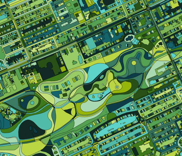
Top-view aerial images of city blocks

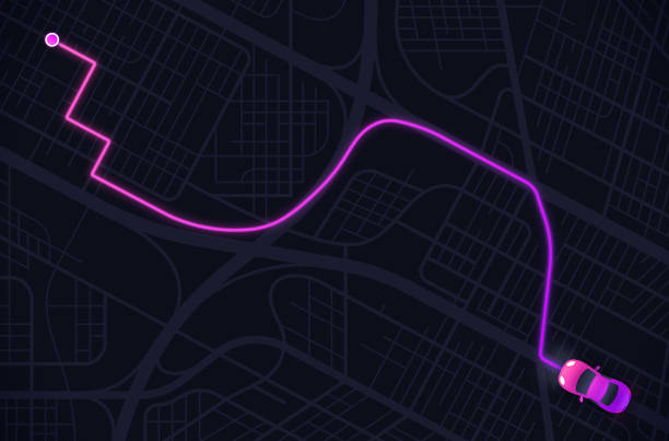
Car driving and planning route through a complex city street network transportation vehicle infrastructure planning.
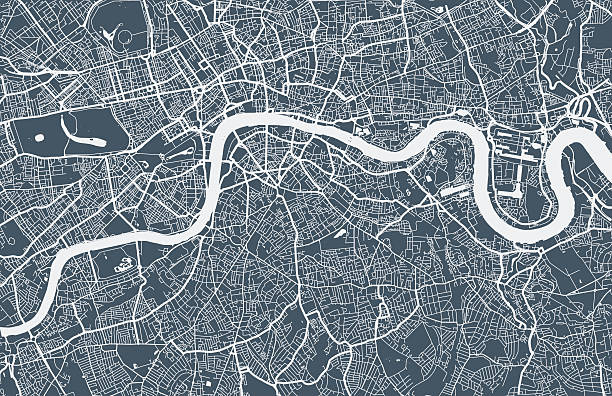
London city map. Map data © OpenStreetMap contributors.

Futuristic travel GPS map or location navigator, navigate mapping technology and final destination on the streets of the city London, high tech vector background
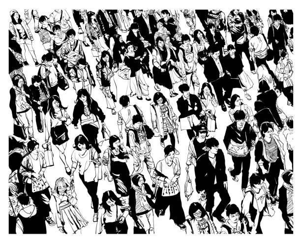
Pedestrians walking at Shibuya Crossing. - vector illustration
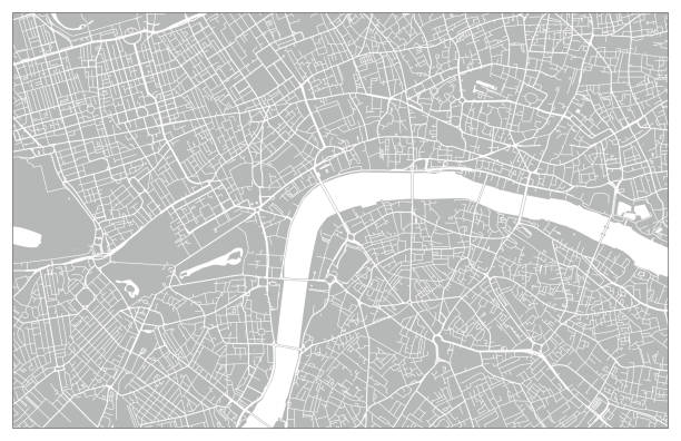
Topographic / Road map of London, England. Original map data is open data via © OpenStreetMap contributors
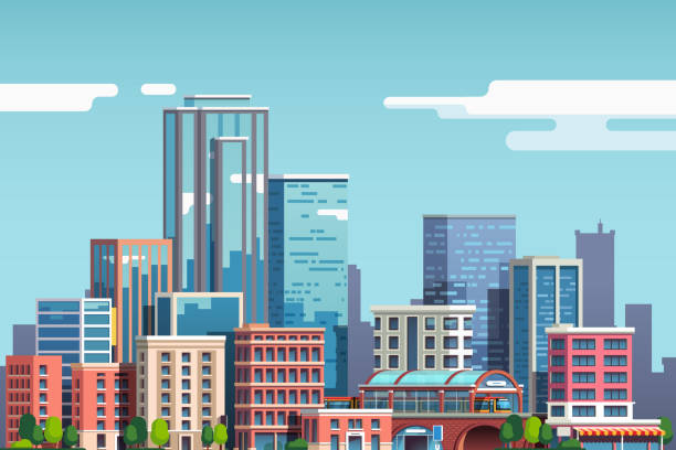
City downtown with skyscrapers, business buildings, clouds, blue sky. City center downtown cityscape view. Big city buildings. Town real estate scenery clipart. Flat vector illustration isolated on background
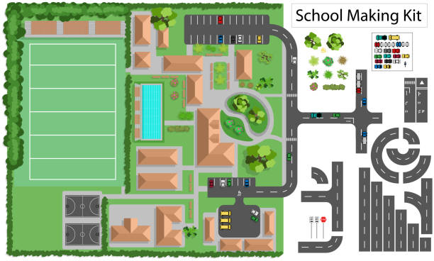
Build your own school and suburb, grouped and layered, see my portfolio for other kits

Aerial isometric illustration of an urban neighborhood, with townhomes, row houses, apartment buildings, schools, businesses, streetcars, parks, traffic, and other details.

Modern Detail Urban City Map Housing And Commercial Area From Top View Illustration

Urban Isometric area of the city infrastructure with transport, streets, houses and trees
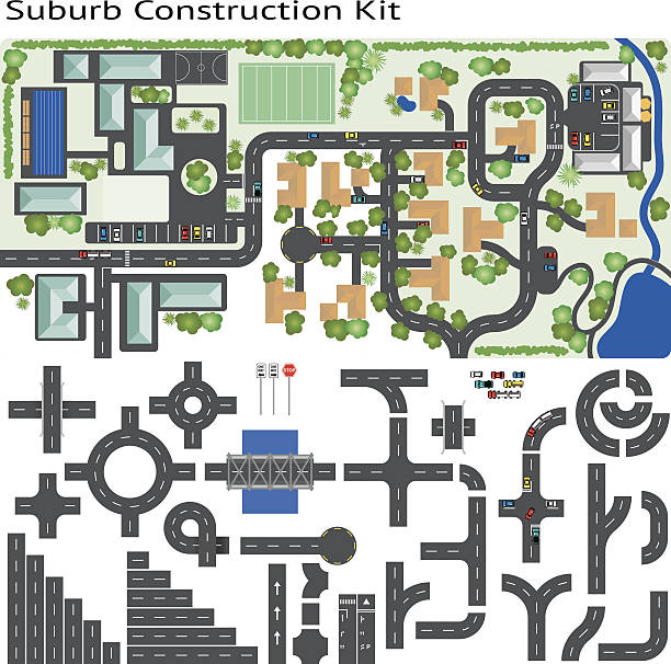
Build your own suburb, grouped and layered, see my portfolio for other kits

Colorful cartoon isometric city. EPS 10.
Next