![Birds eye view A top down view of a slice of countryside, with roads, rivers, streams, houses , fields, school and woodland, all with lots of detail. 10 layers help editing.
Please view my vector landscapes lightbox for similar files
[url]http://www.istockphoto.com/file_search.php?action=file&lightboxID=3390977[/url]
aerial view uk stock illustrations](https://media.istockphoto.com/id/472287987/vector/birds-eye-view.jpg?s=612x612&w=0&k=20&c=8trgbkPhr7qLnxvjxLLKmcc3ozRVhG-zXZ0UOuUZ5Ds=)
Aerial View Uk stock illustrations
Browse 750+ aerial view uk stock illustrations and vector graphics available royalty-free, or search for river aerial view uk to find more great stock images and vector art.
Most popular
A top down view of a slice of countryside, with roads, rivers, streams, houses , fields, school and woodland, all with lots of detail. 10 layers help editing. Please view my vector landscapes lightbox for similar files [url]http://www.istockphoto.com/file_search.php?action=file&lightboxID=3390977[/url]
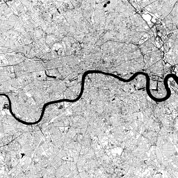
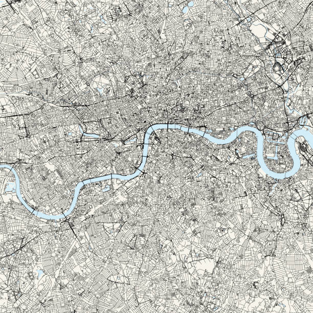
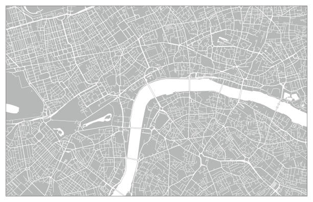
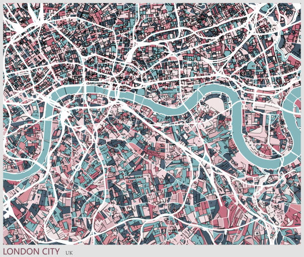
London city map. Map data © OpenStreetMap contributors.
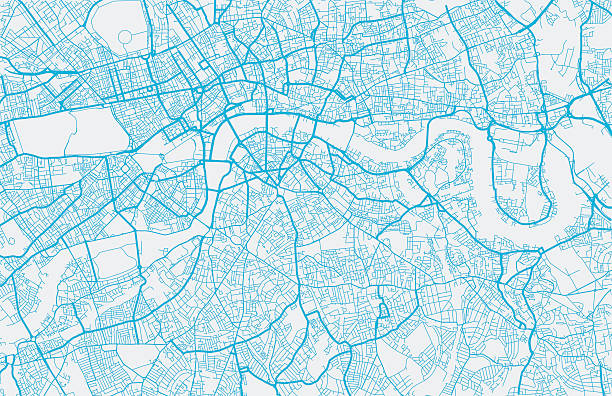
London city map. Map data © OpenStreetMap contributors.
London city map. Map data © OpenStreetMap contributors.

Landscape with small village seen from above
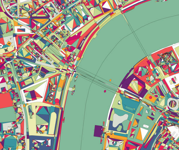
ilustration of London city structure.near Waterloo Bridge and London Eye.Map data from© OpenStreetMap contributors.

Topographic / Road map of Edinburgh, Scotland. Map data is open data via openstreetmap contributors. All maps are layered and easy to edit. Roads are editable stroke.
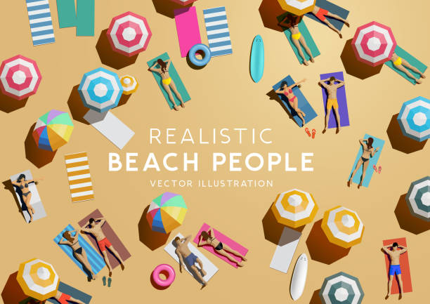
People sunbathing and relaxing on the beach while on holiday. Top view vacation background.
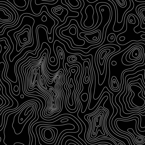
This detailed illustration of topography lines repeats seamlessly and the vector file can be scaled infinitely without loss of quality. This topographic map style abstract pattern would make an ideal background and can easily be coloured and customised to suit your needs.

Poster Style Topographic / Road map of Glasgow, Scotland. Map data is open data via openstreetmap contributors. All maps are layered and easy to edit. Roads are editable stroke.

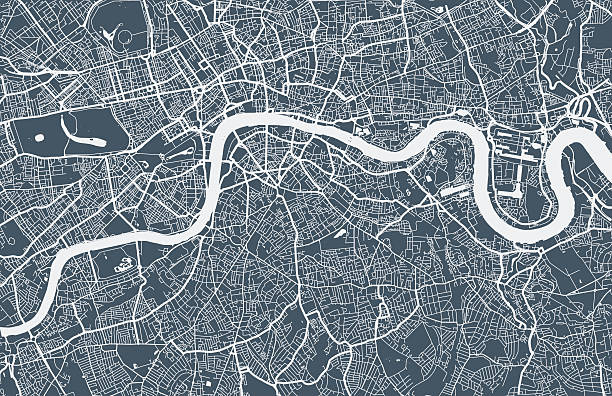
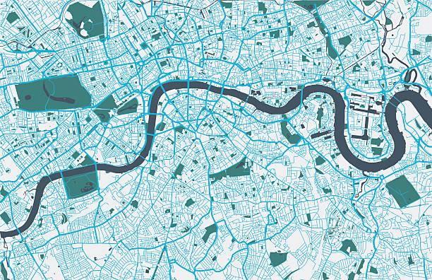
Topographic / Road map of London, England. Original map data is open data via © OpenStreetMap contributors
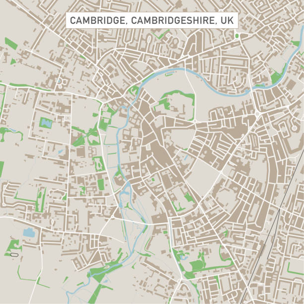
Vector Illustration of a City Street Map of Cambridge, Cambridgeshire, UK. Included files are EPS (v10) and Hi-Res JPG. Data courtesy from Ordnance Survey: VectorMap District https://www.ordnancesurvey.co.uk/business-and-government/products/vectormap-district.html OS OpenData is free to use under the Open Government Licence (OGL). Contains OS data © Crown copyright and database right 2017. http://www.nationalarchives.gov.uk/doc/open-government-licence/version/3/
Topographic / Road map of London, England. Original map data is open data via © OpenStreetMap contributors

Futuristic travel GPS map or location navigator, navigate mapping technology and final destination on the streets of the city London, high tech vector background

Plan of Beach, summer background. with umbrella, towel view from above.

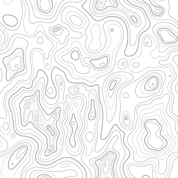
This detailed illustration of topography lines repeats seamlessly and the vector file can be scaled infinitely without loss of quality. This topographic map style abstract pattern would make an ideal background and can easily be coloured and customised to suit your needs.

Topographic / Road map of London, England. Original map data is open data via © OpenStreetMap contributors


Summer holiday background with a group of people relaxing and having fun by the sea. Top down / aerial view vector illustration.

Realistic model of a large passenger commercial airplane. Vector illustration.

Landscape with small village in traditional retro crosshatch style EPS 10 file, CS5 version in zip.

Topographic / Road map of London, England. Original map data is open data via © OpenStreetMap contributors

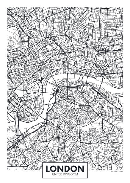
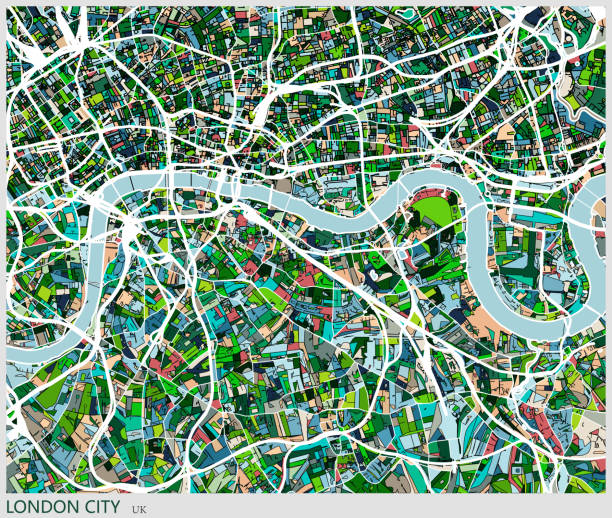
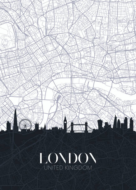
Vector poster map city London detailed plan of the city, rivers and streets

A view over the Familistère Godin - the Social Palace of Guise. The Social Palace was a revolutionary social project built by the industrialist Jean-Baptiste André Godin (1817-1888). Three housing blocks contained 500 housing units with a school, theatre, library, laundry, pool, bandstand, garden and shops, plus social benefits for the residents. Godin eventually made the project over to the workers’ cooperative management and ownership. From “The Cottager and Artisan: The People’s Own Paper” published in 1898 by The Religious Tract Society, London.

Vector poster detailed city map Edinburgh detailed plan of the city, rivers and streets


Top view of a track and field stadium. Illustration contain transparencies and is saved as Illustrator 10 format.
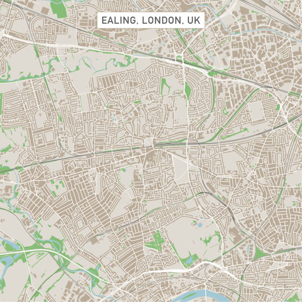
Vector Illustration of a City Street Map of Ealing, London, UK. Included files are EPS (v10) and Hi-Res JPG. Data courtesy from Ordnance Survey: VectorMap District https://www.ordnancesurvey.co.uk/business-and-government/products/vectormap-district.html OS OpenData is free to use under the Open Government Licence (OGL). Contains OS data © Crown copyright and database right 2017. http://www.nationalarchives.gov.uk/doc/open-government-licence/version/3/

Historical view of Birmingham - city and metropolitan borough in the West Midlands, England. Wood engraving, published in 1893.

Poster Style Topographic / Road map of Birmingham, United Kingdom. Map data is open data via openstreetmap contributors. All maps are layered and easy to edit. Roads are editable stroke.

Topographic / Road map of Glasgow, Scotland. Map data is open data via openstreetmap contributors. All maps are layered and easy to edit. Roads are editable stroke.

Wood desk from above. On the desk are brochures to plan travel. There are guidebooks and brochures from popular travel locations including France, Italy, Canada, Britain, and Hawaii. There is a world map, a check list and a flight booking brochure.

This illustrated umbrella pattern repeats seamlessly and would make an ideal background for your summer design project. The illustrator 10 vector file can be coloured and customized to suit your needs and scaled infinitely without any loss of quality.

These illustrations of people relaxing on various novelty pool inflatables would make ideal design elements for your summer design project. The illustrator 10 vector file can be coloured and customized to suit your needs and scaled infinitely without any loss of quality.


London city map. Map data © OpenStreetMap contributors.

Couples and friends enjoying the summer at the beach. Aerial view of people relaxing, vector illustration.
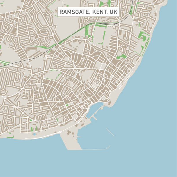
Vector Illustration of a City Street Map of Ramsgate, Kent, UK. Included files are EPS (v10) and Hi-Res JPG. Data courtesy from Ordnance Survey: VectorMap District https://www.ordnancesurvey.co.uk/business-and-government/products/vectormap-district.html OS OpenData is free to use under the Open Government Licence (OGL). Contains OS data © Crown copyright and database right 2017. http://www.nationalarchives.gov.uk/doc/open-government-licence/version/3/

A commercial airplance landing. Realistic jet - top aerial view vector illustration

Poster Style Topographic / Road map of Dublin, Ireland Original map data is open data via © OpenStreetMap contributors. All maps are layered and easy to edit. Roads are editable stroke.

Vector Illustration of a City Street Map of Kingston, London, UK. Included files are EPS (v10) and Hi-Res JPG. Data courtesy from Ordnance Survey: VectorMap District https://www.ordnancesurvey.co.uk/business-and-government/products/vectormap-district.html OS OpenData is free to use under the Open Government Licence (OGL). Contains OS data © Crown copyright and database right 2017. http://www.nationalarchives.gov.uk/doc/open-government-licence/version/3/


This illustrated beach scene repeats seamlessly horizontally and would make an ideal background for your summer design project. The illustrator 10 vector file can be coloured and customized to suit your needs and scaled infinitely without any loss of quality.

This detailed illustration of topography lines repeats seamlessly and the vector file can be scaled infinitely without loss of quality. This topographic map style abstract pattern would make an ideal background and can easily be coloured and customised to suit your needs.

This detailed illustration of topography lines repeats seamlessly and the vector file can be scaled infinitely without loss of quality. This topographic map style abstract pattern would make an ideal background and can easily be coloured and customised to suit your needs.

These illustrations of people relaxing on various novelty pool inflatables would make ideal design elements for your summer design project. The illustrator 10 vector file can be coloured and customized to suit your needs and scaled infinitely without any loss of quality.
Next