Amsterdam World Map stock illustrations
Browse 290+ amsterdam world map stock illustrations and vector graphics available royalty-free, or start a new search to explore more great stock images and vector art.
Most popular
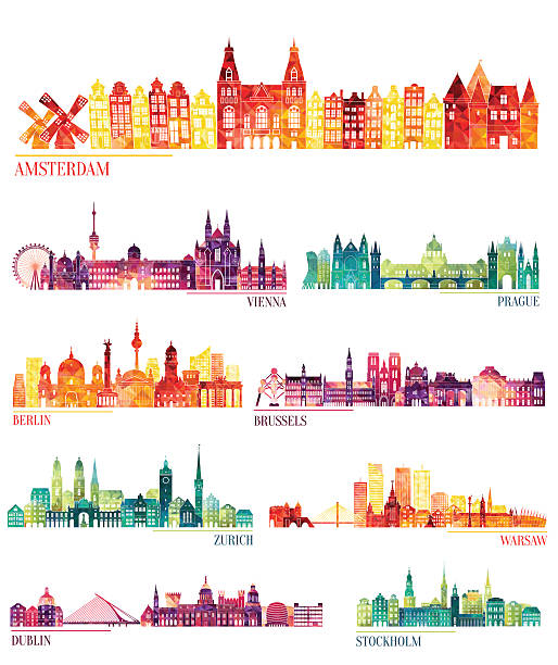
Skyline detailed silhouette set (Amsterdam, Vienna, Prague, Berlin, Brussels, Zurich, Warsaw, Dublin, Stockholm ). Vector illustration
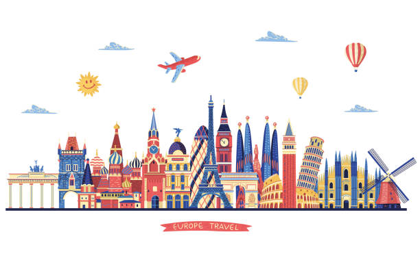
Europe travel. Europe famous monuments. Travel and tourism background.
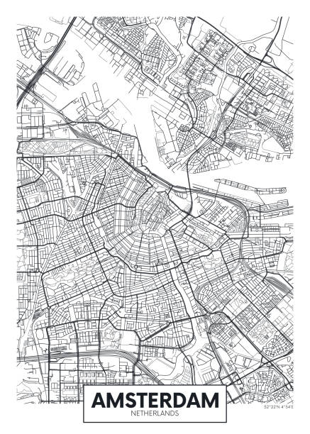
City map Amsterdam, travel vector poster design detailed plan of the city, rivers and streets


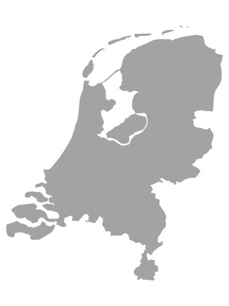
vector illustration of Gray map of Netherlands on white background

Political map of Netherlands with national borders, cities and rivers

World famous landmarks - line design style icons. Sightseeing, traveling idea. Coliseum, Great Wall of China, torii, sphinx, cathedral of Santa Marie, Big Ben, Notre Dame de Paris, Kremlin, Fuji


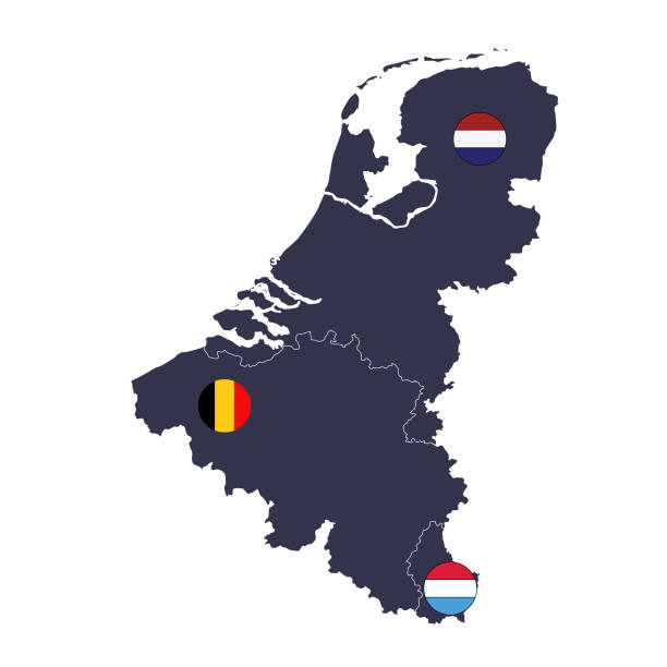
vector illustration of Benelux countries maps and flags

Amsterdam Airport Schiphol logo. Airport stamp vector illustration. Amsterdam aerodrome.

Netherlands map, black and white detailed outline regions of the country. Vector illustration

Maps of The Netherlands, polygonal style of drawing. Good for wall art. Nordic style in design.

The black and white administrative maps of Netherlands
Amsterdam, Netherlands Vector Line Icon with Gold Circle Isolated on White. Amsterdam Landmark - Emblem - Print - Label - Symbol. Windmill Pictogram. World Cities Collection.

Big set of cure and fun hand drawn elements and sights of Amsterdam. Vector illustration


Vector World Travel symbols

Travel and vacations vector composition
European Locations Landmarks Icon Set. Editable Stroke. Famous Place, Monument, Europe, London - England, Famous Place, Eiffel Tower - Paris
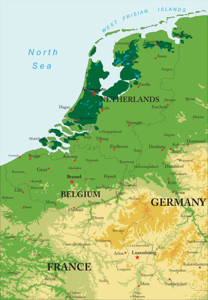
Highly detailed physical map of Benelux in vector format,with states borders, major cities and all the relief forms . Each file is constructed using multiple layers including states borders, different relief forms and a highly detailed state silhouette. Each file is fully customizable with the ability to change the color of individual shapes to suit your needs. This vector was created using hand tracing in Adobe Illustrator CS3 by Bogdan Serban on 7/03/2018. The source file ,courtesy of NASA: -https://eoimages.gsfc.nasa.gov/images/ imagerecords/66000/66087/LowCountries. A2003105.1030.250m.jpg

World Cities labels - Marrakesh, Tokio, Astana, Dubai - 7

World map with a magnifying glass pointing at Netherlands. Map of Netherlands with the flag in the loop. Vector illustration.

Netherlands Map From Scattered Paper Hearts In Colours Of National Flag Vector Isolated On Black Background. Netherlands Border In Official Colors Pattern Art Illustration For Print And Poster Design

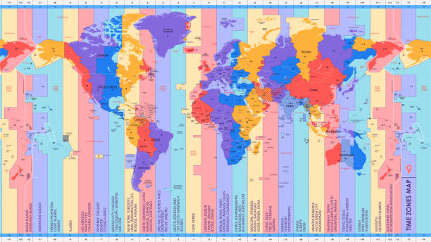
World map referenced from:

Illustrated Map of Amsterdam with cute and fun hand drawn characters, plants and elements. Color vector illustration.

Netherlands - country map and flag located on globe, world map. 3D Vector illustration


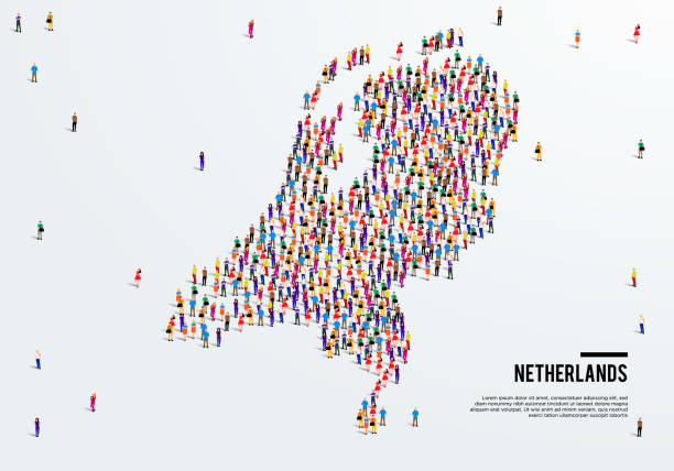
map, country, 3d, state, europe

Hand drawn with black ink on white backdrop. Cutout clip art elements for design, banner, stickers, poster, t-shirt print.

Flat well known silhouettes. Vector illustration easy to edit for flyers or web banners.

Stylish vector high-tech map of Amsterdam. with blue streets for print or background


Map of Italy - Infographic Vector illustration

Abstract blue world map with magnified Netherlands. Netherlands flag and map. Vector Illustration.

Lettering seamless pattern europe capitals names set. Sweet cute inspiration typography. Calligraphy postcard poster photo graphic design element. Hand written sign. Rome Amsterdam Oslo Lisbon Vienna


vector illustration of Benelux countries maps and flags

World map referenced from:

Flat well known silhouettes. Vector illustration easy to edit for flyers or web banners.

Network map of Netherlands. Country digital connections map. Technology, internet, network, telecommunication concept. Vector illustration.

Flat well known silhouettes. Vector illustration easy to edit for flyers or web banners.


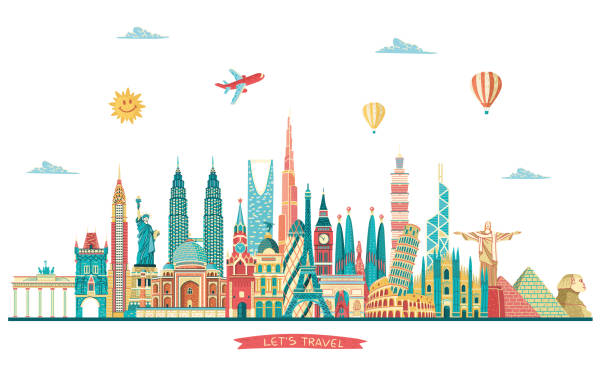
Traveling around the world. EPS 10. No transparency.


Map of Italy - Infographic Vector illustration

vector illustration of Orange map of Netherlands

Netherlands map. Blank vector map of the Country with regions. Borders of Netherlands for your infographic. Vector illustration.

Netherlands Map. Zoom on World Map. Vector Stock Illustration
Next