Ancient Africa Map Pictures stock illustrations
Browse 90+ ancient africa map pictures stock illustrations and vector graphics available royalty-free, or start a new search to explore more great stock images and vector art.
Most popular
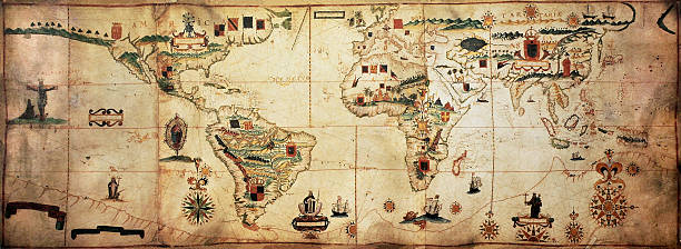
Antique world planisphere portolan map of Spanish and Portuguese maritime and colonial empire. Created by Antonio Sanches, published in Portugal, 1623
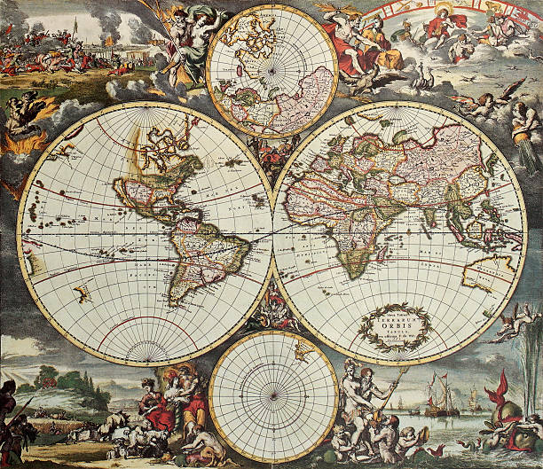
Old map of world hemispheres. Created by Frederick De Wit, published in Amsterdam, 1668

African symbols and travel safari icon element set. Poster ethnic art south ancient animal vector design. Abstract wildlife mask ancient pattern.

Africa old map. Created by Frederick De Wit, published in Amsterdam, 1660
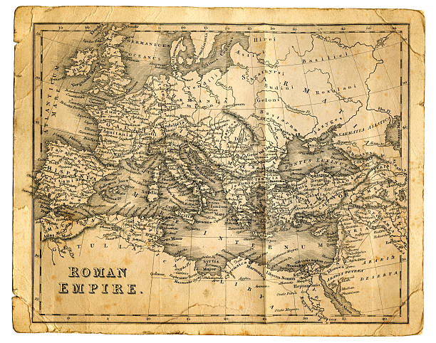
"Very detailed vintage map from 1827, showing the Roman Empire at its greatest extent. Photo by D Walker"
Africa. Travel to exotic continent
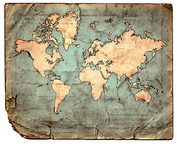
Map of the world printed on a grungy bit of paper

Vector old globe, map of world with new discoveries and decoration with nymphs

old looking world mapSimilar images:

Vintage map from 1861 of Lower Egypt showing the journeys of the Israelites

Known parts of the world on ancient times (Orbis Veteribus Notus) map was drawn in 1838, and is composite with a couple of grunge sepia papers.

Watercolour world map on aged, crumpled paper background in vintage style. EPS10 vector format
![Antique Map of Alexander the Great's Empire Antique Map from 1862 of the kingdoms of the successors of Alexander the Great. Maps text is written in Latin.
[b]View More:[/b]
[url=http://www.istockphoto.com/file_search.php?action=file&lightboxID=9145610][img]http://www.walker1890.co.uk/istock/istock-map.jpg[/img][/url][url=http://www.istockphoto.com/file_search.php?action=file&lightboxID=2789749][img]http://www.walker1890.co.uk/istock/istock-engraving.jpg[/img][/url] ancient africa map pictures stock illustrations](https://media.istockphoto.com/id/157742981/vector/antique-map-of-alexander-the-greats-empire.jpg?s=612x612&w=0&k=20&c=1LROKbwhREGn6g5BB5DBlf6QPpGH6wmN-qjSJKJYxTM=)
Antique Map from 1862 of the kingdoms of the successors of Alexander the Great. Maps text is written in Latin. [b]View More:[/b] [url=http://www.istockphoto.com/file_search.php?action=file&lightboxID=9145610][img]http://www.walker1890.co.uk/istock/istock-map.jpg[/img][/url][url=http://www.istockphoto.com/file_search.php?action=file&lightboxID=2789749][img]http://www.walker1890.co.uk/istock/istock-engraving.jpg[/img][/url]

Vintage map of the world in grunge style
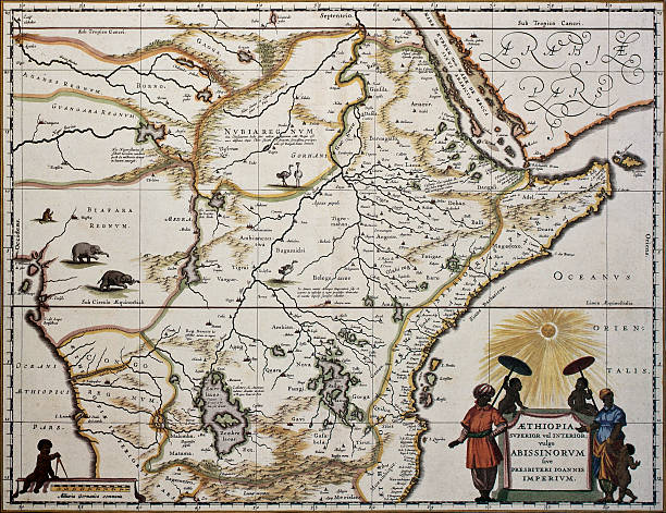
Ethiopia old map. Created by Joan Blaeu, published in Amsterdam 1650

damaged old map - - base map made with using map data from the public domain http://www.csiss.org/map-projections/index.html

Vintage biblical map from 1879 showing the Exodus or Journeyings of the Israelites from Egypt to Canaan

Antique Map from 1862 of the Western Mediterranean, at the time of the Punic Wars, which where fought between Rome and Carthage from 264 BC to 146 BC. Maps text is written in Latin.

"anitque spanish atlas, 18th century, hand coloured engraving. beautiful aged paper.during restoration of this classic masterpiece i had the unique chance to reproduce a good part of it under perfect conditions.there are complete maps as facsimile shots and delicate details. series"

African symbols and travel safari icon element set. Poster ethnic art south ancient animal vector design. Abstract wildlife mask ancient pattern.

Gradient and transparent effect used.

Western hemisphere of the Johannes Schöner globe from 1520. expedition
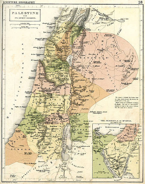
Vintage map from 1861 of Palestine in Biblical times
Old map, vector illustration


Antique Map from 1862 of the Eastern Mediterranean, at the time of the Punic Wars, which where fought between Rome and Carthage from 264 BC to 146 BC. Maps text is written in Latin.

map title as "The World as known to the Ancients" - was drawn in 1837, 3 shots stitched for higher resolution.

A creased and stained steel engraving of a map which shows “The Countries of the Ancient World Exhibiting the Probable Settlement of the Descendants of Noah”, from “A System of Geography, Popular and Scientific, or A Physical, Political, and Statistical Account of the World and its Various Divisions. Volume VI, Part II” by James Bell and published by A. Fullarton & Co., Glasgow, in 1838.

Old map, vector illustration

Antique Map from 1862 of Ancient Palestine. Showing Palestine before exile; Palestine and Lower Egypt; Jerusalem; and the Kingdom of David and Solomon. Maps text is written in Latin.

African symbols and travel safari icon, travel element set. Poster African symbols design african ethnic set. Travel art south icon Africa symbols and ancient animal travel vector design.

base map made with using map data from the public domain

3D Illustration - Stone relief of a world map

African symbols and travel safari icon element set. Poster ethnic art south ancient animal vector design. Abstract wildlife mask ancient pattern.

Antique illustration of a earth map according to Claudius Ptolemaeus


Indian ocean old map, southern Asia, eastern Africa and west Australia. Created by Hendrick Doncker, published in Amsterdam, 1705

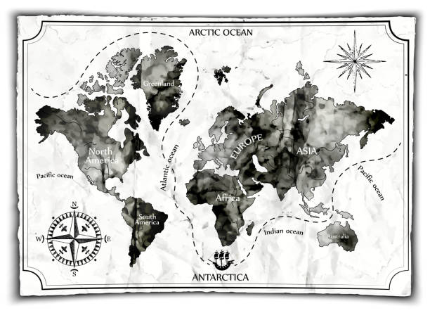
Ancient World Map with Grunge Texture.

Map of the world according to Strabo 63 B.C.

the dissemination of human races by Müller and Peschel

Antique illustration of a earth map according to Herodotus

Antique illustration of a Algiers map

Map of the world (in those days known), after Claudius Ptolemy's work (Egyptian Roman, mathematician, astronomer, astrologer and geographer in 2nd century), engraved by Johannes Schnitzer, Ulm, 1492
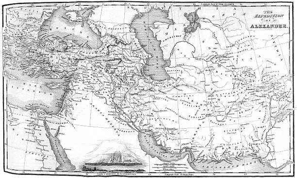
Vintage map showing the ruot eof Alexander the Great as he conqured the Middle East.

"Vintage map of the World as known to the Ancients, from 1861"

Antique illustration of a World map

Old map of Hemisphere oriental. Created by John Tallis, published on Illustrated Atlas, London 1851


crash ship map vintage


Beautiful black and white illustration with egyptian sphinx and pyramid
Africa line icons, linear signs, vector set, outline concept illustration
Museum, Gallery, Heritage

Watercolor illustration of old books. vintage realistic books school. High quality illustration

Watercolor illustration of old books. vintage realistic books school. High quality illustration

Egypt, map of Egypt, Egyptian pyramids. Flat design, vector illustration, vector.

map of the world on the background
Next