
Calgary Mountains stock illustrations
Browse 160+ calgary mountains stock illustrations and vector graphics available royalty-free, or search for calgary skyline or edmonton to find more great stock images and vector art.
National maple leaf of Canada made up of traditional iconography

A view of downtown Calgary.

set of evergreen pine tree icon vintage with river creek vector emblem illustration design.

Official current vector flag of the Canadian province of ALBERTA, CANADA

Vector illustration Banff National Park Alberta. Canada. Design for poster, banner, postcard. Travel poster.

Abstract stamp or emblem with the name of Canmore, Alberta, Canada, vector illustration

Abstract stamp or emblem with the name of Banff National Park, Alberta, Canada, vector illustration
Highly detailed physical map of Canada in vector


Canada flag vector stock illustration


Winter forest isometric tile set with trees and bushes in snow. Isolated isometric tiles to design landscape scenes for game asset or cartoon background. Vector illustration


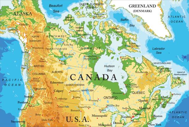
CANADA I have used http://legacy.lib.utexas.edu/maps/americas/canada_pol99.jpg

Flag as a heart "I Love Calgary" with a cord string, Vector illustration isolated on white background


Black flat blank highlighted location map of the COUNTY OF MINBURN NO. 27 municipal district inside gray administrative map of the Canadian province of Alberta, Canada

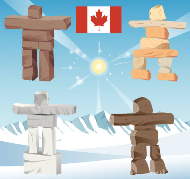
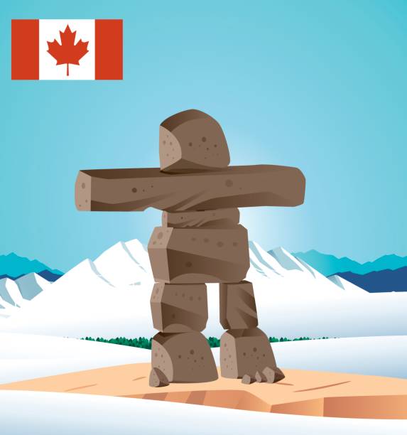
Vector Canada Inuksuk

Night winter landscape with moon, stars and snow. Illustration in vector format, flat style.

Vintage Travel poster Ski Sunshine Village resort. Canada winter landscape travel view, skier woman on the snow mountain, retro. Vector illustration


CANADA I have used http://legacy.lib.utexas.edu/maps/americas/canada_pol99.jpg

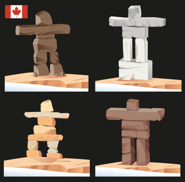
Vector Canada Inuksuk


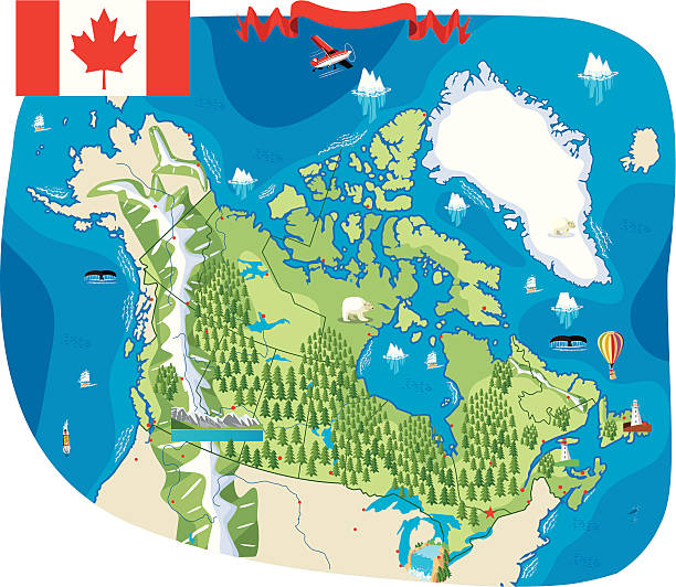
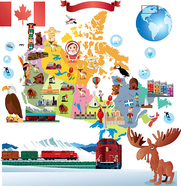
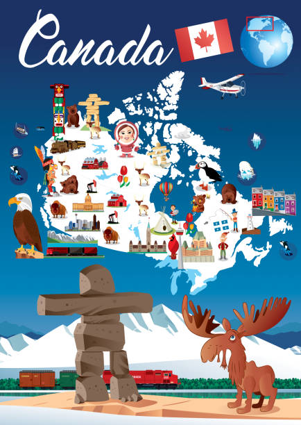
Cartoon map of Canada

Winter forest isometric tile set with trees and bushes in snow. Isolated isometric tiles to design landscape scenes for game asset or cartoon background. Vector illustration
Vector Canada Map I have used http://legacy.lib.utexas.edu/maps/world_maps/world_physical_2015.pdf address as the reference to draw the basic map outlines with Illustrator CS5 software, other themes were created by myself.


A mosaic of beautiful Canadian iconography in the shape of a heart symbol. Featuring the Canadian maple leaf.

CANADA I have used http://legacy.lib.utexas.edu/maps/americas/canada_pol99.jpg

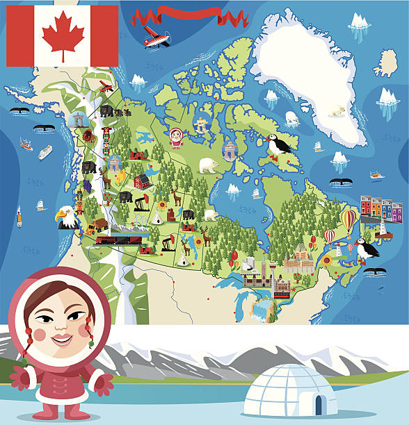
Vector Snow Globe and Inuit

National Park Badge EPS10 File Format


CANADA I have used http://legacy.lib.utexas.edu/maps/americas/canada_pol99.jpg

Landscape with moon and clouds. Forest scenery in the night. There are two trees and plants. Blue and blue tones colored forest scene. Rural area with no people. Grasses on the ground but blue colored because of the night. vector illustration backgrounds.

Black flat blank highlighted location map of the LAC LA BICHE COUNTY specialized municipality inside gray administrative map of the Canadian province of Alberta, Canada

Black flat blank highlighted location map of the CARDSTON COUNTY municipal district inside gray administrative map of the Canadian province of Alberta, Canada

Black flat blank highlighted location map of the COUNTY OF VERMILION RIVER municipal district inside gray administrative map of the Canadian province of Alberta, Canada

Black flat blank highlighted location map of the WAINWRIGHT NO. 61 municipal district inside gray administrative map of the Canadian province of Alberta, Canada

Black flat blank highlighted location map of the CAMROSE COUNTY municipal district inside gray administrative map of the Canadian province of Alberta, Canada

Black flat blank highlighted location map of the FOOTHILLS COUNTY municipal district inside gray administrative map of the Canadian province of Alberta, Canada

Black flat blank highlighted location map of the ATHABASCA COUNTY municipal district inside gray administrative map of the Canadian province of Alberta, Canada

Black flat blank highlighted location map of the MOUNTAIN VIEW COUNTY municipal district inside gray administrative map of the Canadian province of Alberta, Canada

Black flat blank highlighted location map of the LAC STE. ANNE COUNTY municipal district inside gray administrative map of the Canadian province of Alberta, Canada

Black flat blank highlighted location map of the COUNTY OF STETTLER NO. 6 municipal district inside gray administrative map of the Canadian province of Alberta, Canada
Next