Clip Art Of A Mongolia stock illustrations
Browse 260+ clip art of a mongolia stock illustrations and vector graphics available royalty-free, or start a new search to explore more great stock images and vector art.
Most popular
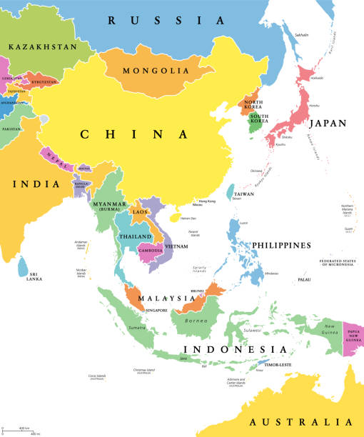
East Asia, single states, political map. All countries in different colors, with national borders, labeled with English country names. Eastern subregion of the Asian continent. Illustration. Vector.

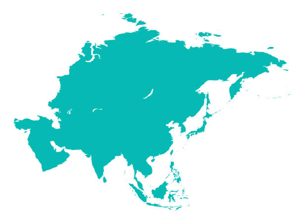
Vector of highly detailed asia map - The url of the reference file is : http://www.lib.utexas.edu/maps/world_maps/time_zones_ref_2008.pdf

The illustration was completed March 12, 2013 and created in Adobe Illustrator CS6.
The illustration was completed March 12, 2013 and created in Adobe Illustrator CS6.

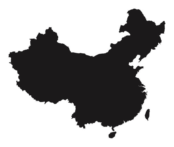
Vector of Detailed Map of China Source file : http://legacy.lib.utexas.edu/maps/middle_east_and_asia/txu-pclmaps-oclc-747676570-china_admin-2011.jpg

The illustration was completed March 11, 2013 and created in Adobe Illustrator CS6.

Map of Mongolia for your own design. With space for your text and your background. Four maps included in the bundle: - One black map on a white background. - One blank map on a black background. - One white map with shadow on a blank background (for easy change background or texture). - One blank map with only a thin black outline (in a line art style). The layers are named to facilitate your customization. Vector Illustration (EPS10, well layered and grouped). Easy to edit, manipulate, resize or colorize. Please do not hesitate to contact me if you have any questions, or need to customise the illustration. http://www.istockphoto.com/portfolio/bgblue

Cartoon illustration of the legendary Mongol Genghis Khan.
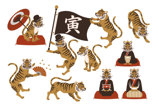
Tiger vector illustration material set.color.


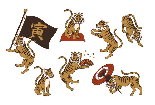
Tiger vector illustration material set.color.


Abstract Silhouette Mongolia Simple Map, can be used for business designs, presentation designs or any suitable designs.


Map of Mongolia isolated on a blank background with a black outline and shadow. Vector Illustration (EPS file, well layered and grouped). Easy to edit, manipulate, resize or colorize. Vector and Jpeg file of different sizes.
Vector Mongolia National Flag Icons Set, can be used for business designs, presentation designs or any suitable designs.

Map of Asia for design. With space for your text and your background.

Pastel Colored Labeled Flat Provinces Map of Asian Country of Mongolia

The flag of Mongolia. Drawn in the correct aspect ratio. File is built in the CMYK color space for optimal printing, and can easily be converted to RGB without any color shifts.

Vector high detail Blue Asia Map with white borders isolated on white Background

The Mongolian Soyombo Symbol . File is built in the CMYK color space for optimal printing, and can easily be converted to RGB without any color shifts.


http://dl.dropbox.com/u/38148230/LB21.jpg


Illustration of a Tatars Khan

Mongolian boy and girl in red national costume and hat. Cartoon children in traditional dress. Hunter, hunting with an eagle. Vector illustration

Map of Mongolia for your own design. With space for your text and your background. Four maps included in the bundle: - One black map. - One blank map with only a thin black outline (in a line art style). - One mosaic map. - One white map with a thin black outline. The 4 maps are isolated on a blank background (for easy change background or texture).The layers are named to facilitate your customization. Vector Illustration (EPS10, well layered and grouped). Easy to edit, manipulate, resize or colorize.

White map of Inner Mongolia isolated on a blue background with a long shadow effect and in a flat design style. Vector Illustration (EPS10, well layered and grouped). Easy to edit, manipulate, resize or colorize.

Mongolia black silhouette map. Editable high quality vector cut out illustration isolated on white.


National flag of Mongolia. Shiny round button with shadow.
Mongolia Round Independence Day Badge, can be used for business designs, presentation designs or any suitable designs.

White map of Mongolia isolated on a gray background with a long shadow effect and in a flat design style. Vector Illustration (EPS10, well layered and grouped). Easy to edit, manipulate, resize or colorize.


Black and White 3D Contour Topography Map of Asian Country of Mongolia

Vector Mongolia Round Flag Banner Vector Illustration, can be used for business designs, presentation designs or any suitable designs.
Soccer ball icon with monaco, mongolian, moroccan and namibian flag


Dark Black and White 3D Contour Topography Map of Asian Country of Mongolia
Map of Mongolia with long shadow style on colored circle buttons. Two map versions included in the bundle: - One white map on a pink / red circle button. - One white map on a blue circle button. Vector Illustration (EPS file, well layered and grouped). Easy to edit, manipulate, resize or colorize. Vector and Jpeg file of different sizes.

Vector Simple Map of Mongolia Country, can be used for business designs, presentation designs or any suitable designs.
Vector isolated geometric illustration with simple icy blue shape of Mongolia map. Pixel art style for NFT template. Dotted logo with gradient texture for design on white background


Rectangle and Wave Mongolia Flag Illustration, can be used for business designs, presentation designs or any suitable designs.

Vector map of Mongolia with borders isolated on background flat style.

Mongolia population map. Stick figures Mongolian people map with bold red translucent country border. Pattern of men and women icons. Isolated vector illustration. Editable stroke.


People in car with mongolian flag

Mongolia flag - glossy circle badge. Vector icon.
Next