Commonwealth Of Independent States Map stock illustrations
Browse 30+ commonwealth of independent states map stock illustrations and vector graphics available royalty-free, or start a new search to explore more great stock images and vector art.
Most popular
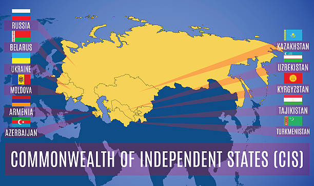
Schematic map of the Commonwealth of Independent States (CIS). Flags of countries-members of CIS. Vector.

vector map with location of the Commonwealth of Independent States for your project

Commonwealth of Independent States (CIS), political map. Regional intergovernmental organization in Eurasia, formed following the dissolution of the Soviet Union. Nine member states and one associate.

Map of the Commonwealth of Independent States (CIS). Flags of countries-members of CIS without Ukraine and Turkmenistan. Vector.

Antique Commercial Map of the World from 1891. Showing the British Empire in Red.

Map of the Commonwealth of Independent States (CIS). Flags of countries-members of CIS. Vector.

Vector map of the Commonwealth of Independent State (CIS) with the Ukrainian Crimea. Set creative markers with flags of states members of the CIS.

Vector map of the Commonwealth of Independent State (CIS) with the Russian Crimea. Set creative markers with flags of states members of the CIS.

Vector illustration. Map of the Commonwealth of Independent States (CIS). Set creative markers with flags of states members of the CIS.


Waving flag of Luhansk People's Republic. Illustration of Europe country flag on flagpole. Vector 3d icon isolated on white background

Luhansk People's Republic flag, landlocked self-proclaimed state in eastern Ukraine, blue, navy and red tricolor, state emblem. Vector flat style illustration

Luhansk People's Republic flag, landlocked self-proclaimed state in eastern Ukraine, blue, navy and red tricolor, state emblem. Vector realistic style illustration

Australia political map with capital Canberra. Commonwealth and country, the mainland of the Australian continent and Tasmania. Gray illustration isolated on white background. English labeling. Vector


Commonwealth of Independent States flag on blue digital world map with actual national borders


